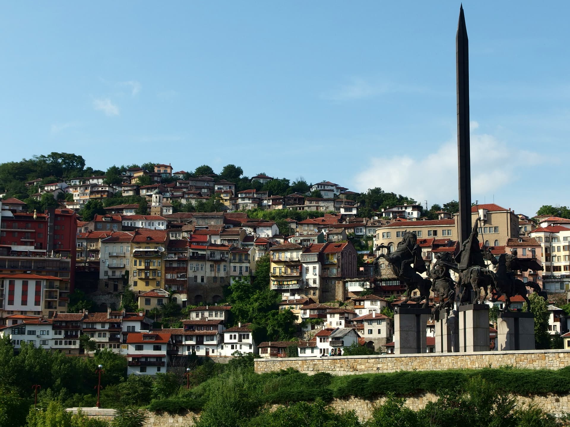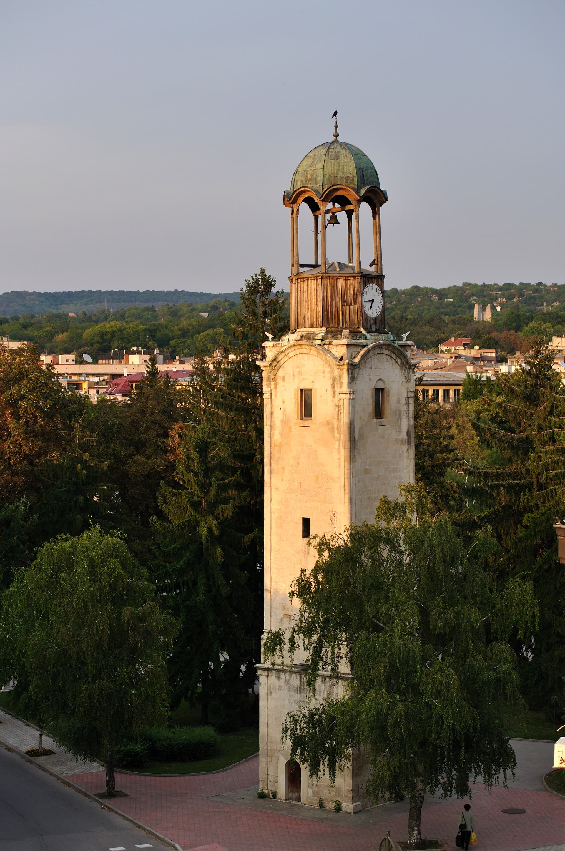
North-Central Bulgaria
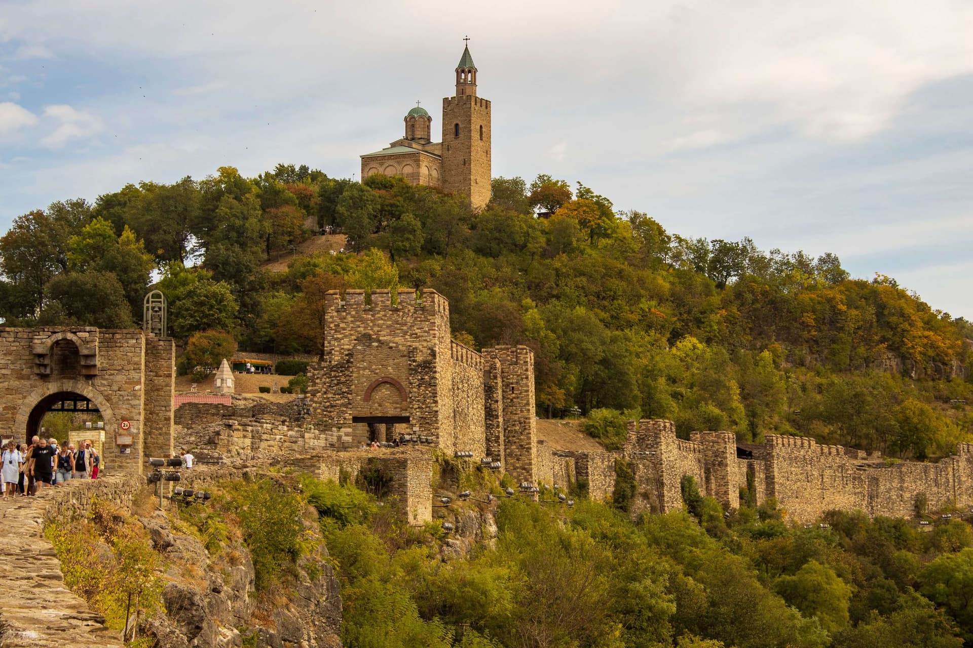
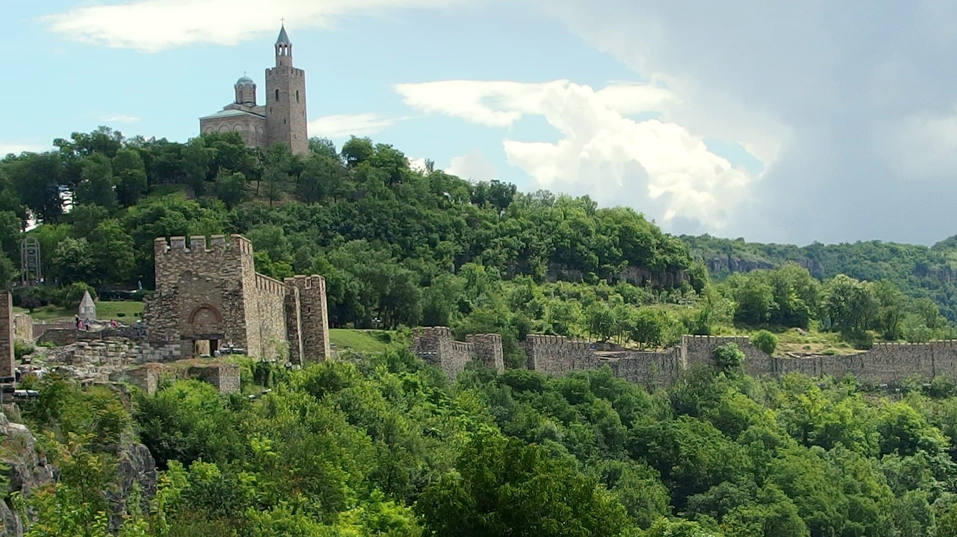
Tsarevets, Veliko Tarnovo · Wikimedia Commons (CC-BY-SA)
North-Central Bulgaria is one of the country's six planning regions and covers the oblasts of Veliko Tarnovo, Gabrovo, Razgrad, Ruse, and Silistra. It is not an administrative-territorial unit and therefore has no administrative centre.
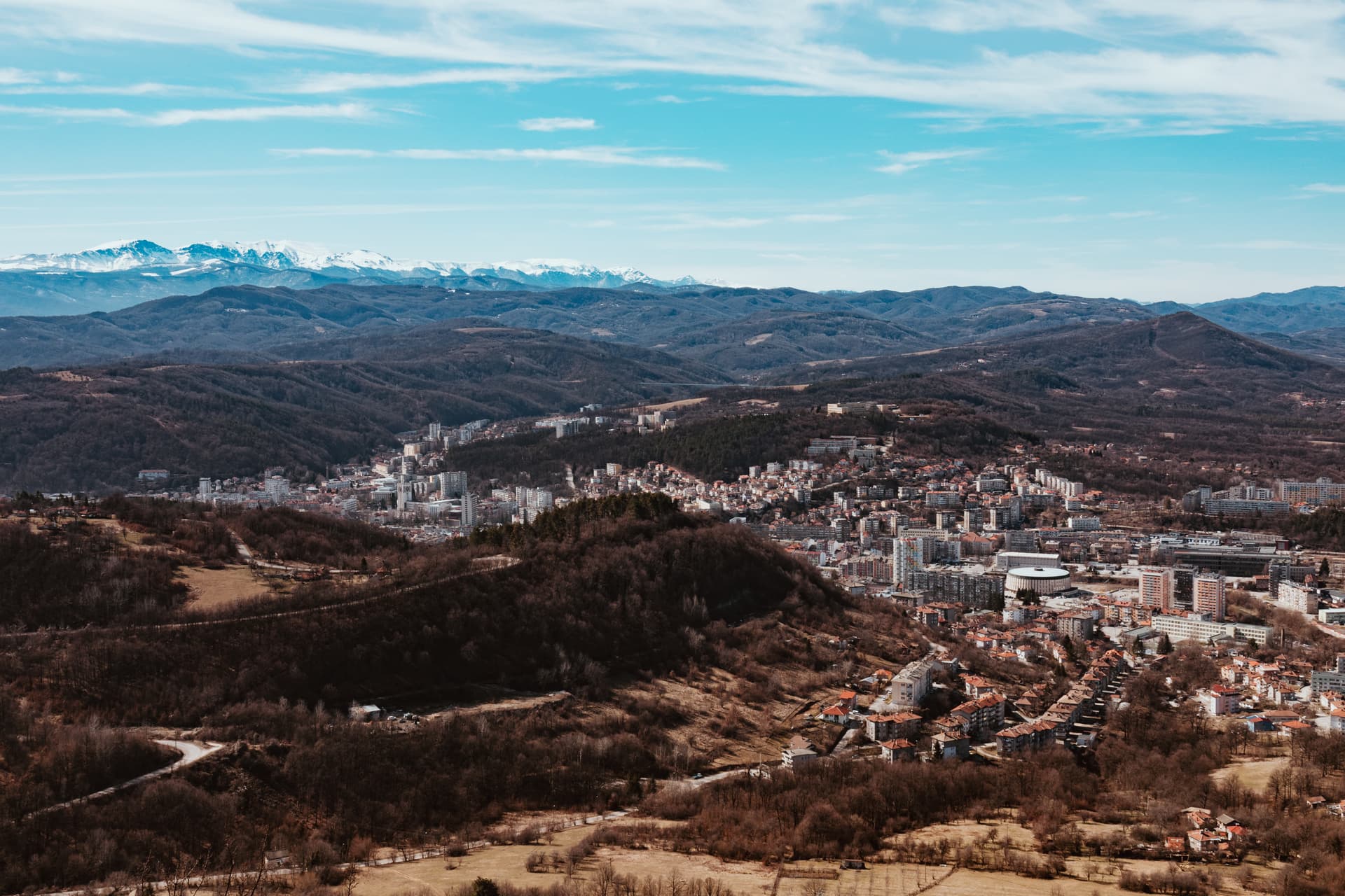
Geography & location
The region has a transitional geographic position in northern Bulgaria and benefits from a favourable transport setting. To the north it has a long stretch along the Danube, where the Danube Bridge at Ruse carries European Transport Corridor No. 9, linking Central Europe with the Middle East. Roads cross the territory connecting Sofia and southwestern Bulgaria with the northeast and the northern Black Sea coast, while the Danube riverside is linked to southern Bulgaria via the passes of the central Stara Planina. The country's most important meridional railway line — Ruse to Podkova — also runs through the region. To the east, North-Central Bulgaria reaches the land border with Romania, a frontier that remains lightly developed economically.
Climate & natural resources
The climate is temperate-continental, with pronounced summer droughts and cold winters — factors that, together with the region's limited forest cover and the absence of significant energy or mineral resources, mean many raw materials must be brought in from other parts of the country. Mineral deposits are modest in volume, but high-quality clays near Butovo, Polski Trambesh, Gorna Oryahovitsa, and Sevlievo, alongside reserves of basalt, limestone, and sandstone, support a long-standing ceramics industry and the production of building materials.
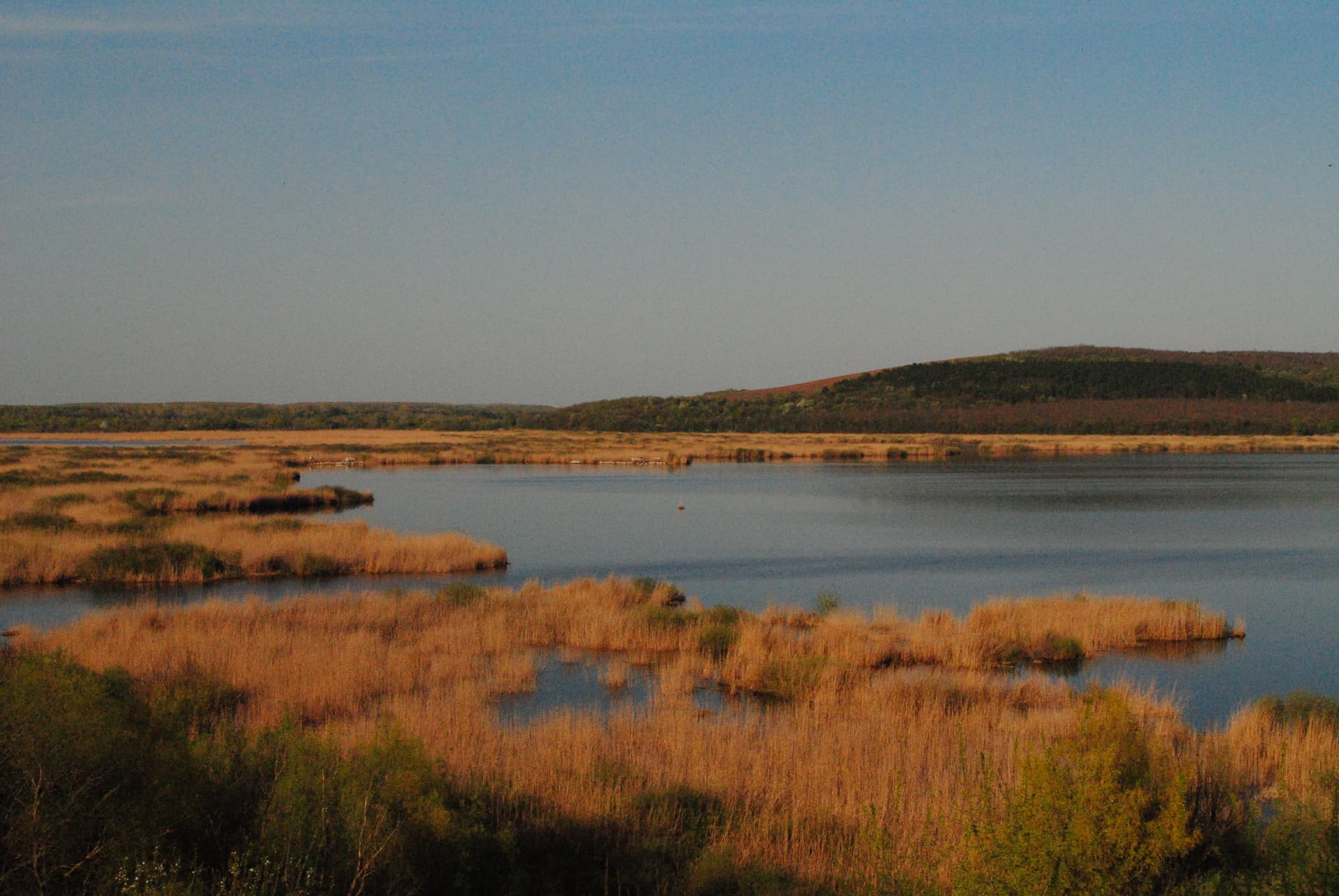
Rivers & water resources
The region's water resources come from the rivers Yantra, Rositsa, and Rusenski Lom, used in an integrated way — reservoirs and irrigation systems have been built, and the Rositsa I and Rositsa II hydropower plants generate electricity. The rivers of the Ludogorie and Dobrudzha plains have an unstable regime and often dry up in summer, making water shortage one of the most serious economic challenges in the area. Mineral springs — Vonesta Voda among them — underpin balneotherapy and a growing spa-tourism scene.
Soils & farmland
Nearly half of the region is given over to arable land, thanks to fertile chernozems and grey forest soils across the Danube plain and the rolling Predbalkan foothills. Around 8–10% of the territory consists of natural meadows and pastures, which still support traditional stockbreeding at the foot of Stara Planina.
Forests
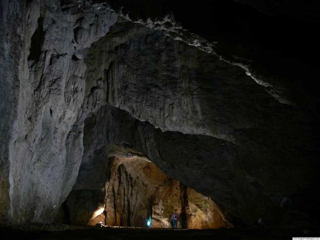
The region holds substantial reserves of beech timber, concentrated mainly in Stara Planina, where smaller stands of conifers also grow. Oak forests dominate the Predbalkan foothills, while the protected areas of Central Balkan National Park and the nature parks around the Tryavna mountain draw visitors for hiking and ecotourism. Even so, the available timber falls short of fully meeting local demand.
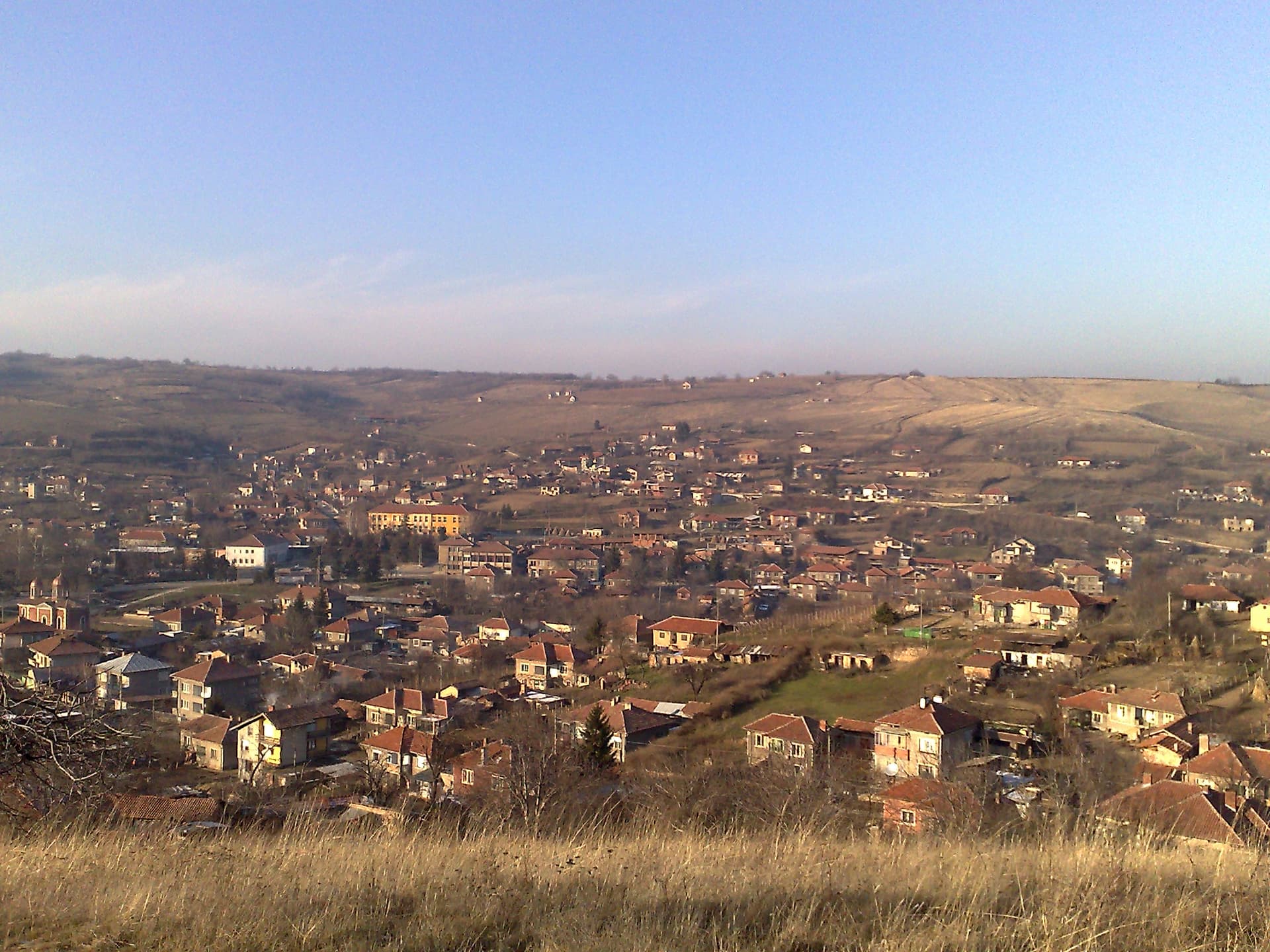
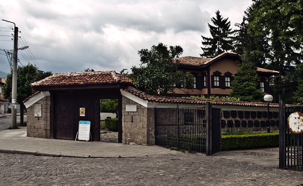
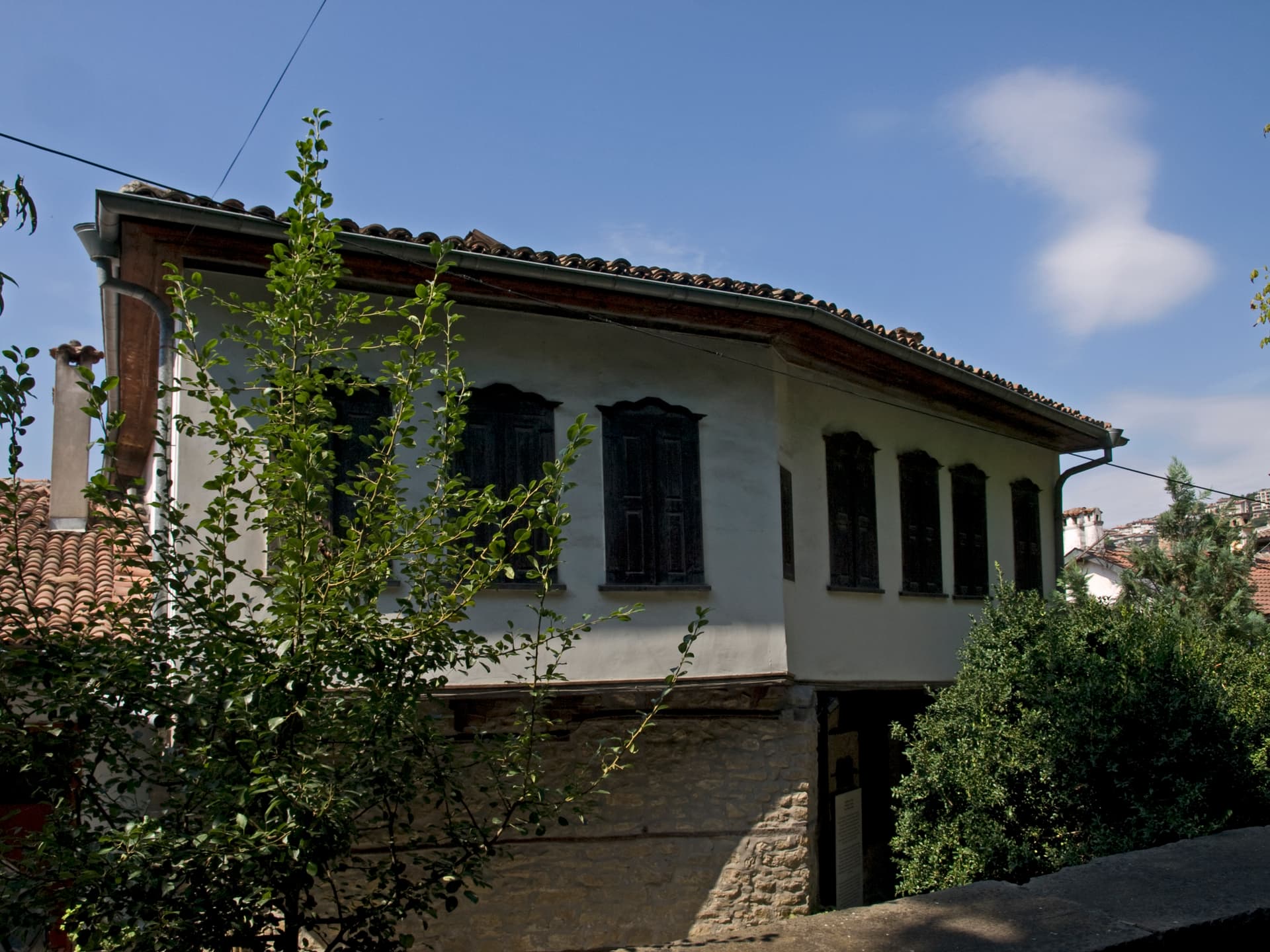
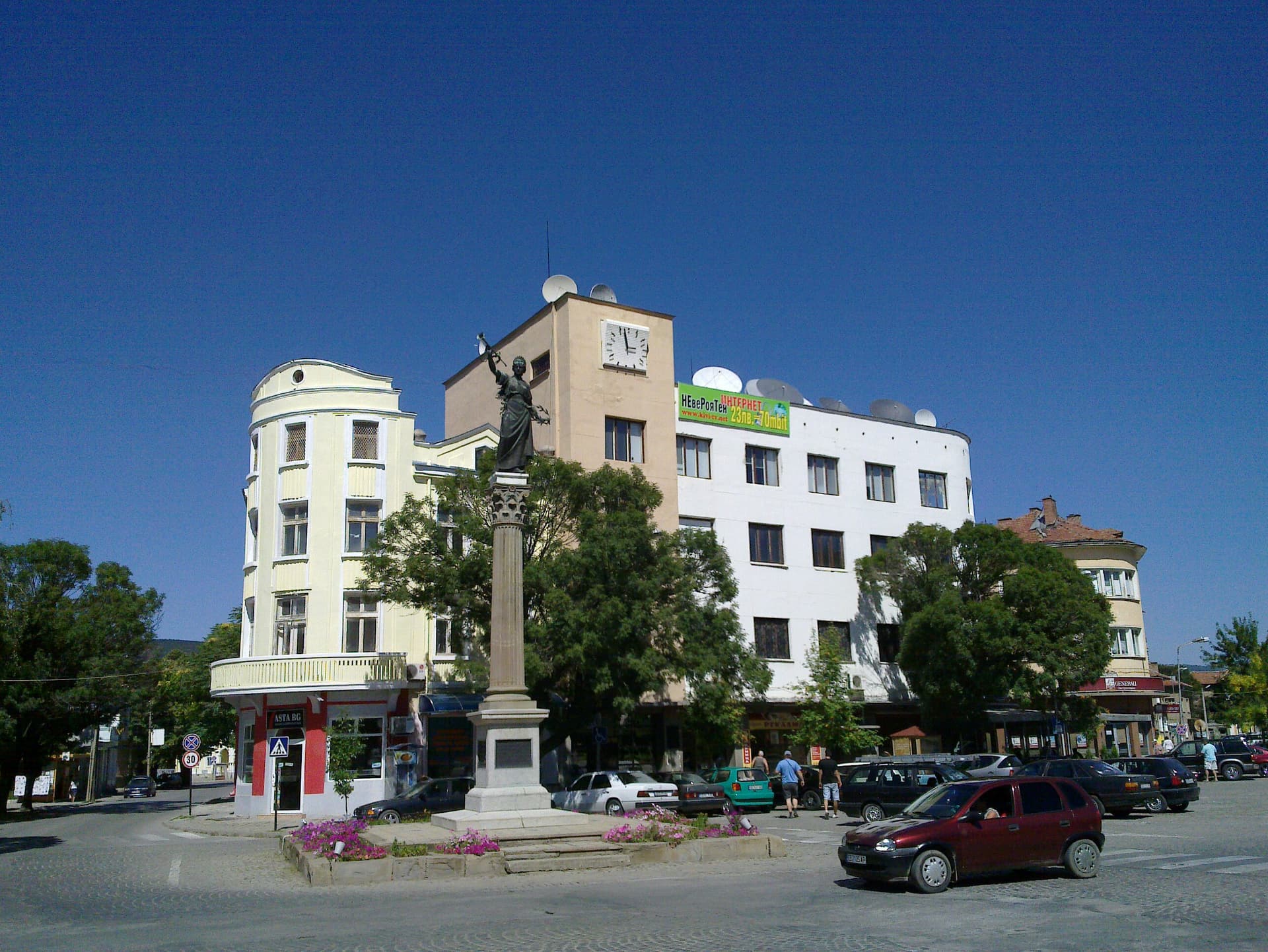
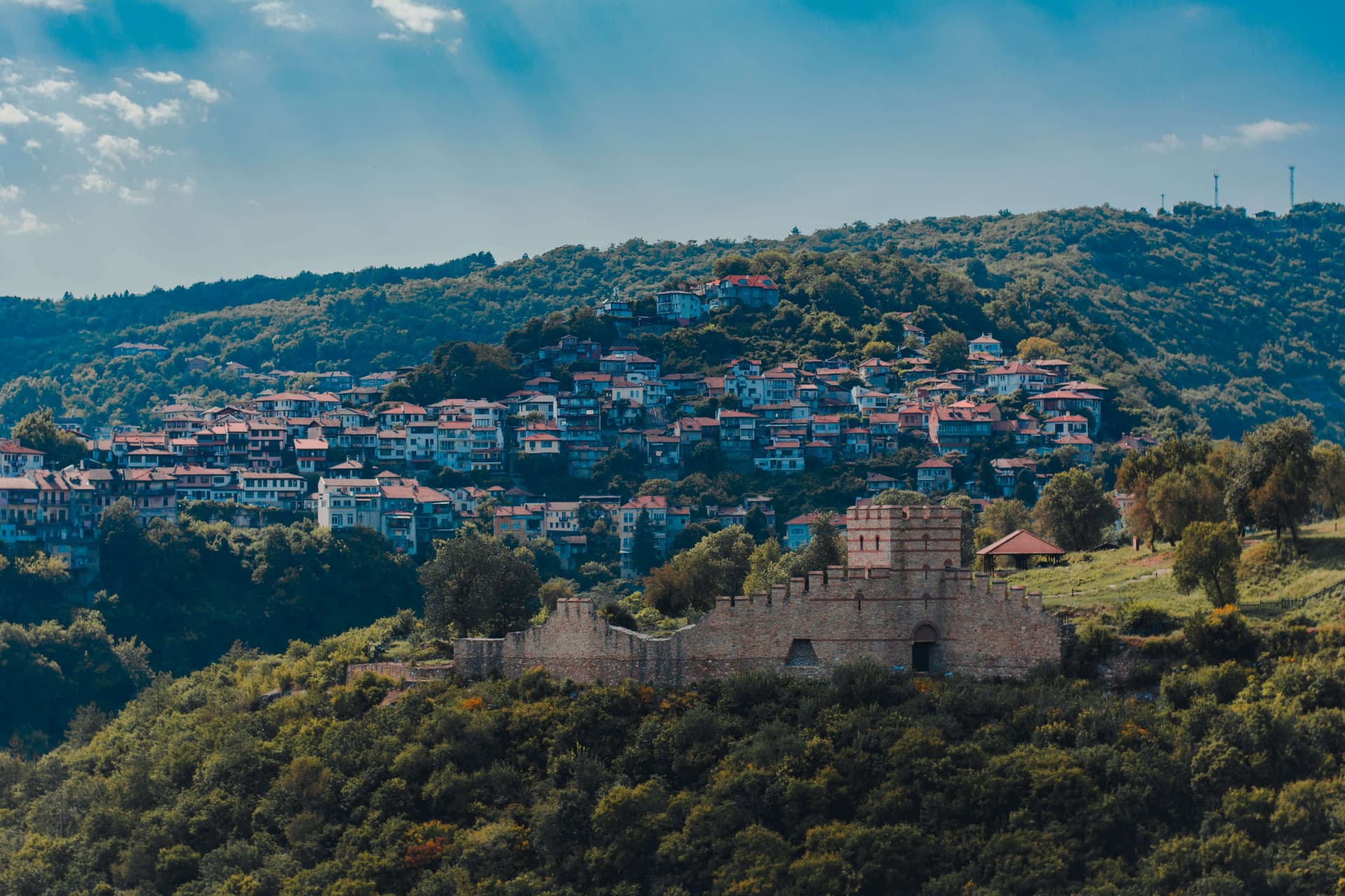
Population & settlements
The region's population is steadily declining as a result of active out-migration and a negative natural growth rate, and density sits below the national average. The share of people of non-working age is higher than the country average, which limits the renewal of the labour force. A distinctive feature of the settlement network until 1995 was the presence of many mahali (hamlets) and kolibi (herdsmen's huts); today these are formally recognised as villages and give the region's countryside its unique character.