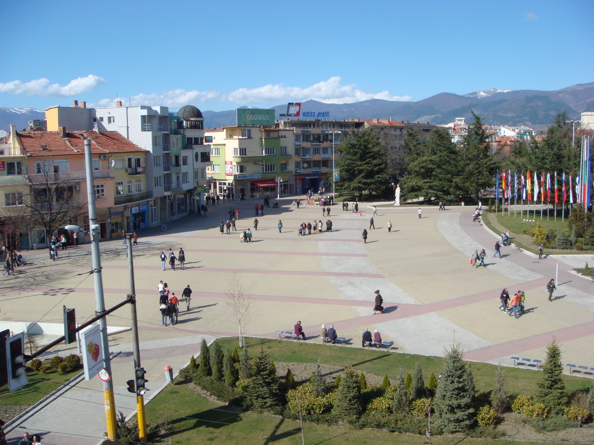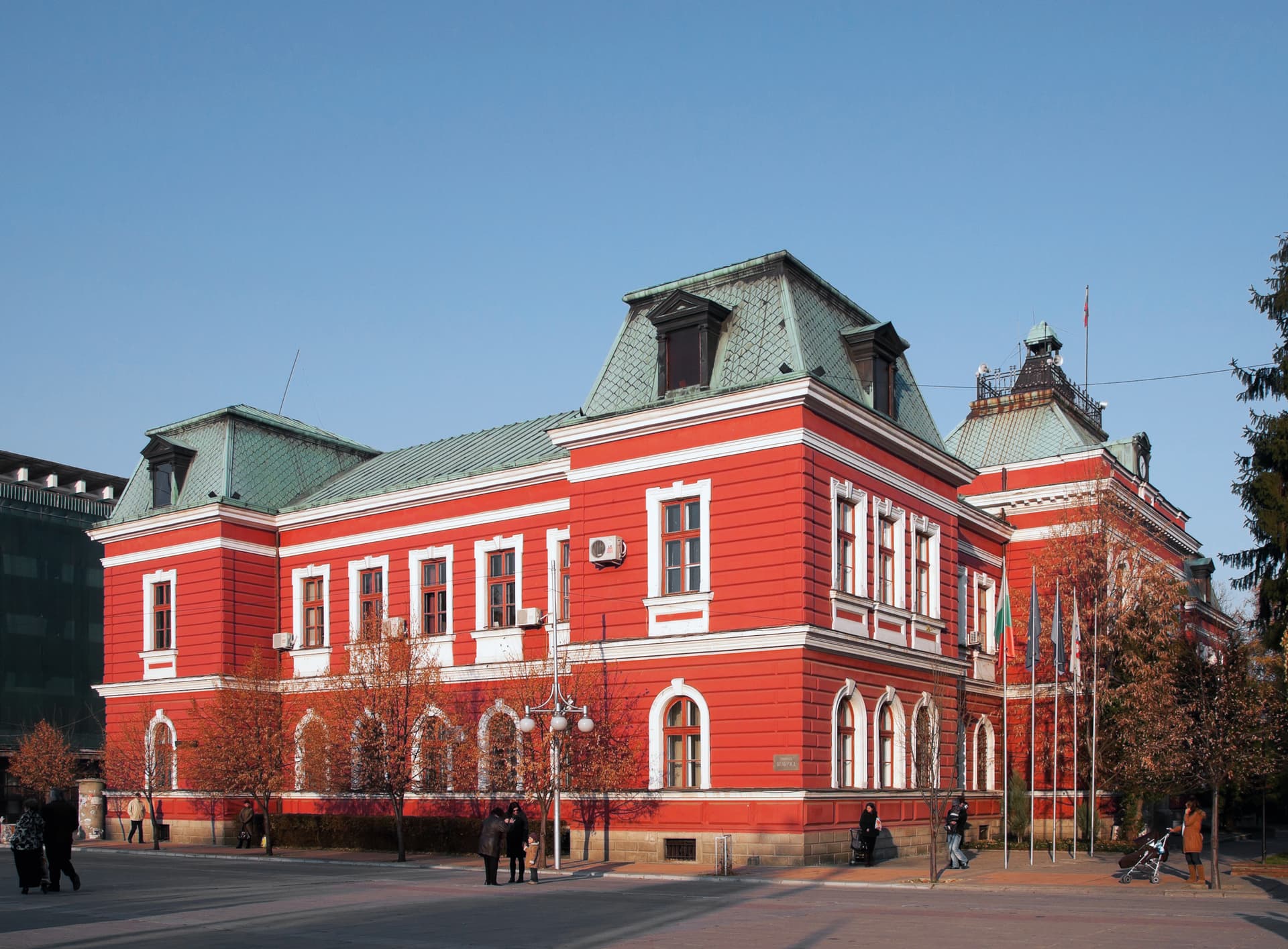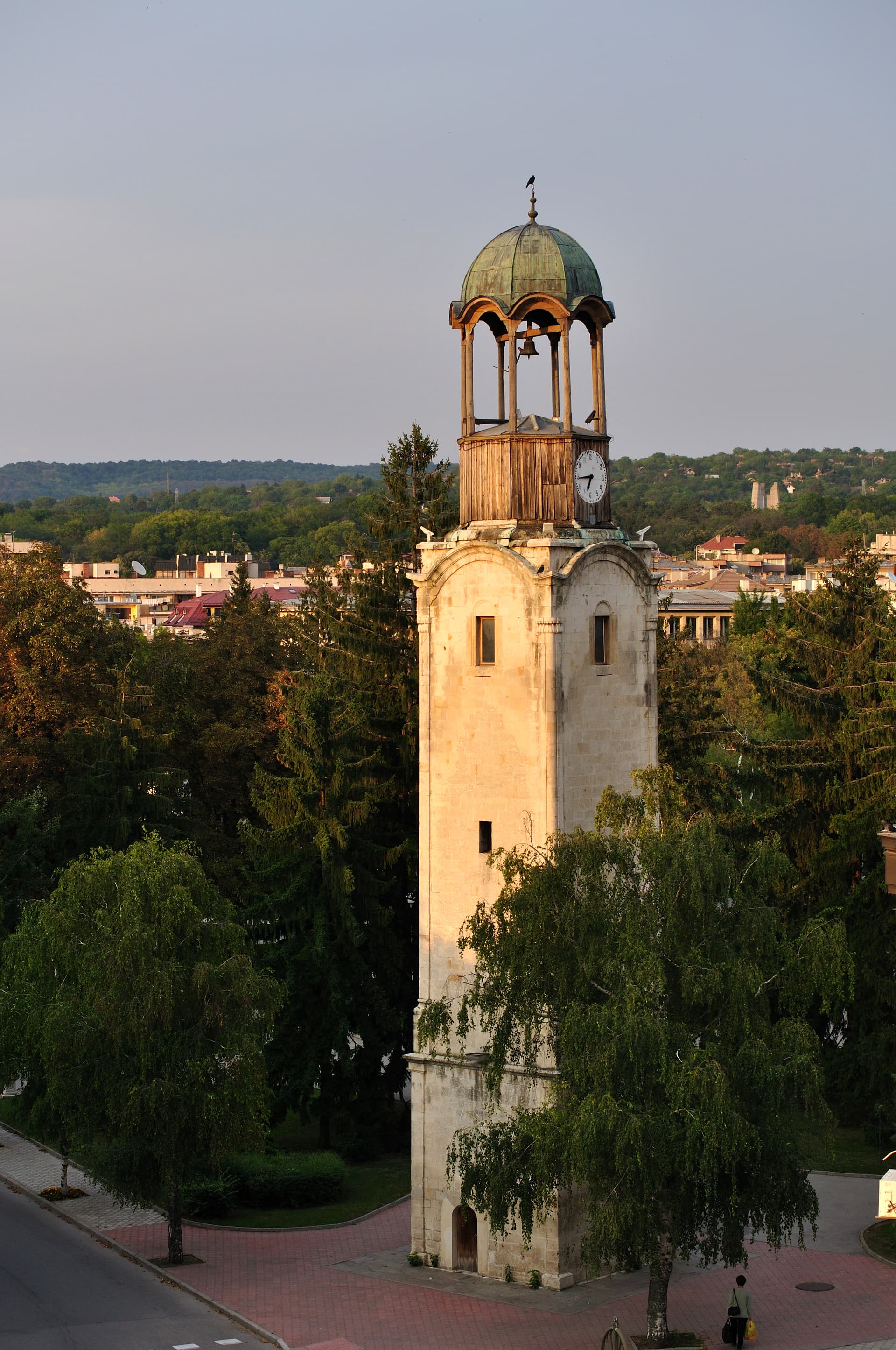
Razgrad is a provincial capital in north-eastern Bulgaria, in the valley of the Beli Lom river in the southern Ludogorie. It has about 27,500 inhabitants (NSI, end of 2025). It lies 65 km south-east of Ruse, 35 km north of Targovishte and 50 km north-west of Shumen, on the E70 road between Ruse and Varna.
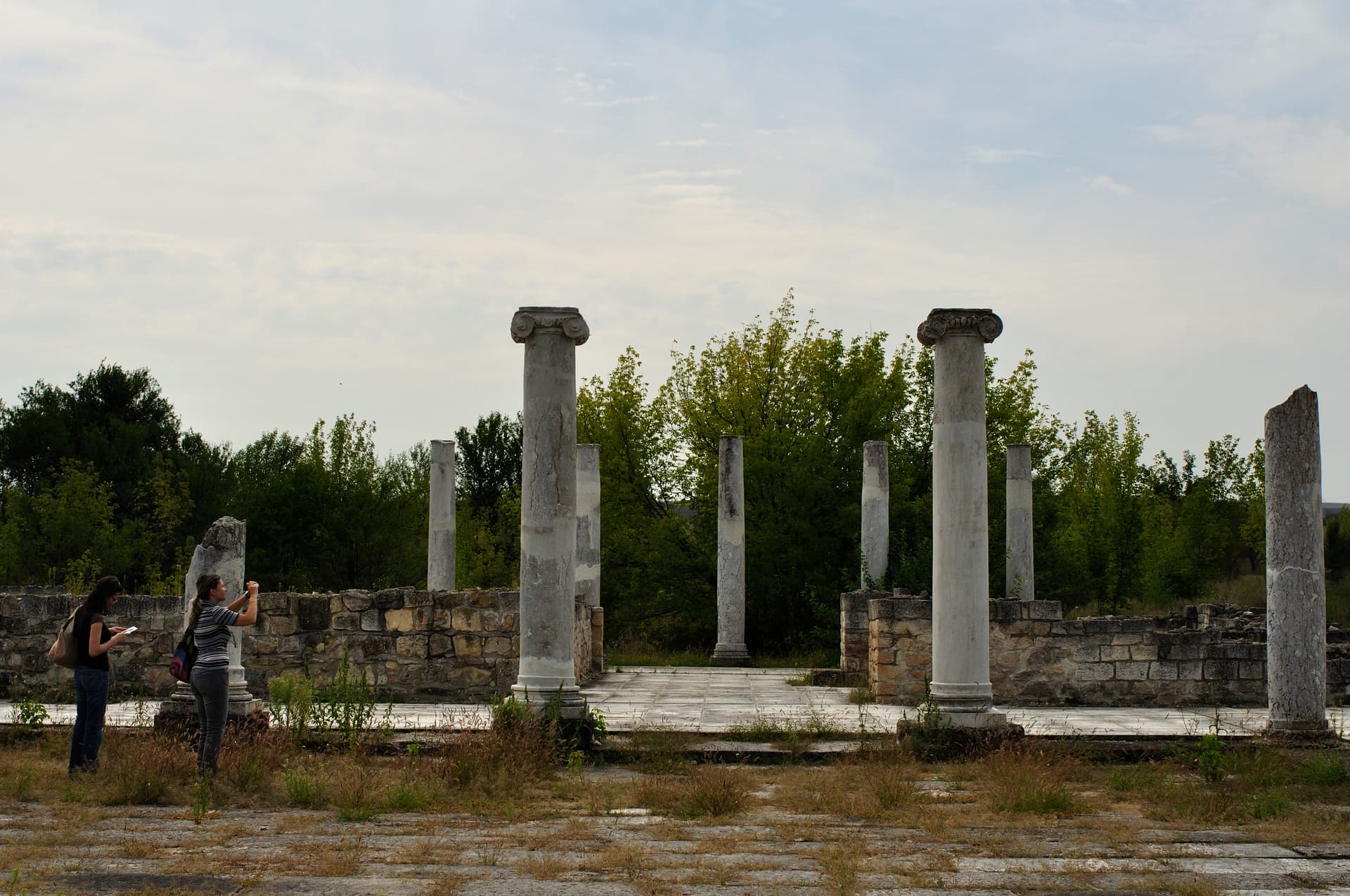
In July 251 the Goths under King Cniva defeated the Roman army near Abritus. Emperor Trajan Decius died in the battle — the first Roman emperor killed in battle against a foreign enemy. Abritus survived as an early Byzantine town. In Ottoman times Hezargrad — today’s Razgrad — grew up here, with mosques, a madrasa, a library, a bath and a caravanserai around the Ibrahim Pasha complex.
By car from Ruse it is about 65 km (around an hour), from Shumen about 50 km and from Varna about 130 km. From Sofia the road is about 345 km. The Ruse–Varna railway passes about 7 km from town.
The Beli Lom reserve (about 23 km), Shumen, and the UNESCO-listed Thracian tomb of Sveshtari near Isperih.
Razgrad region
2.3 km away

Razgrad region
23.1 km away
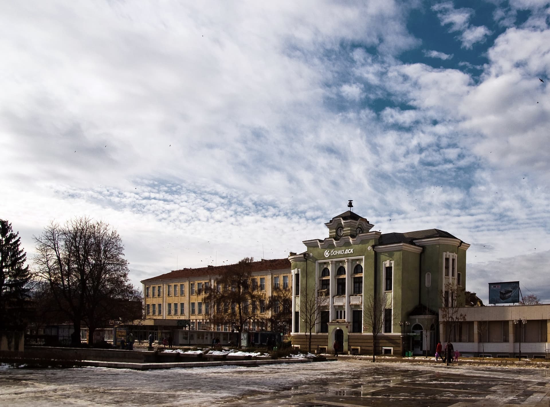
Targovishte region
30.8 km away
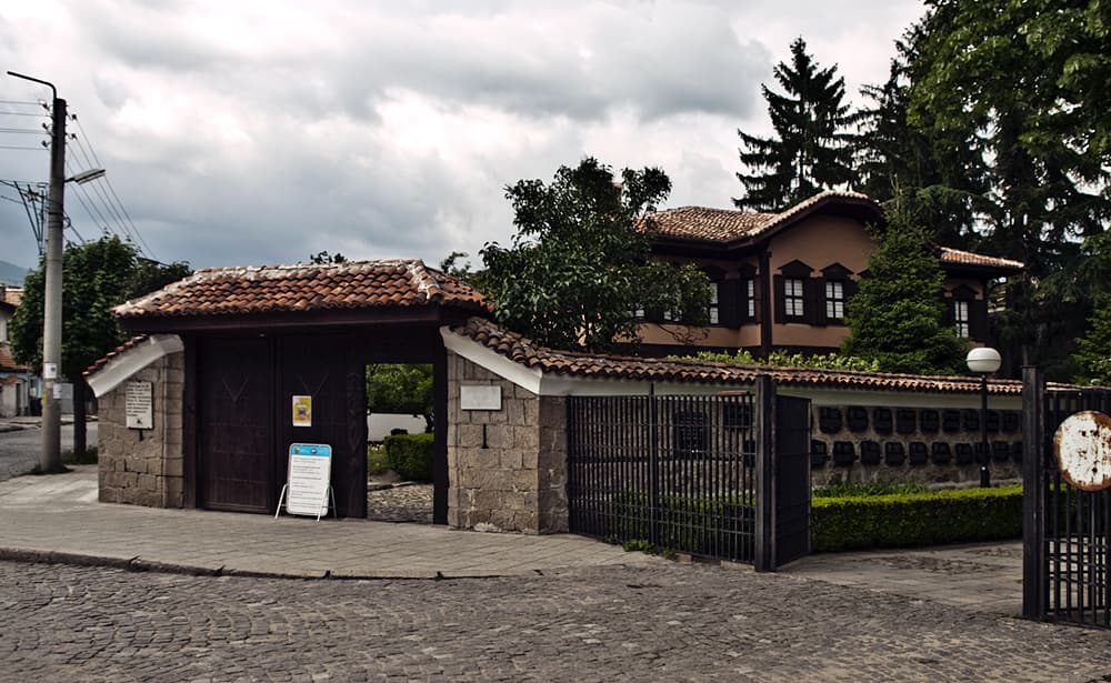
Razgrad region
32.5 km away
Razgrad is located in Razgrad, Bulgaria.
Razgrad is most easily reached by car. Use the coordinates above to navigate, or open the location in OpenStreetMap or your preferred maps app for turn-by-turn directions. Public transport options vary by region — for remote destinations a rental car gives the most flexibility.
Razgrad can be visited year-round, but late spring (May–June) and early autumn (September–October) offer the most pleasant weather and fewer tourists. Summer is the busiest season; winter is the quietest, with shorter daylight and possible cold weather.
Bulgarian settlements typically reward unhurried walking — historic centres, churches and monasteries, local markets, and family-run restaurants serving regional dishes. Larger towns often have museums and seasonal cultural events. The local tourist information centre is a good first stop for current opening hours and what's on.