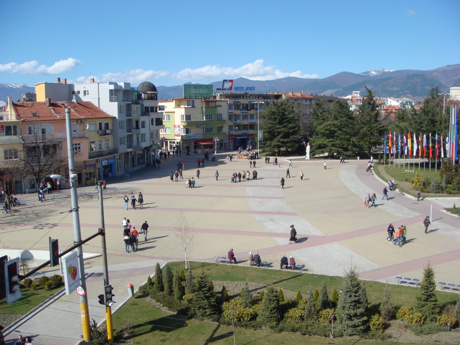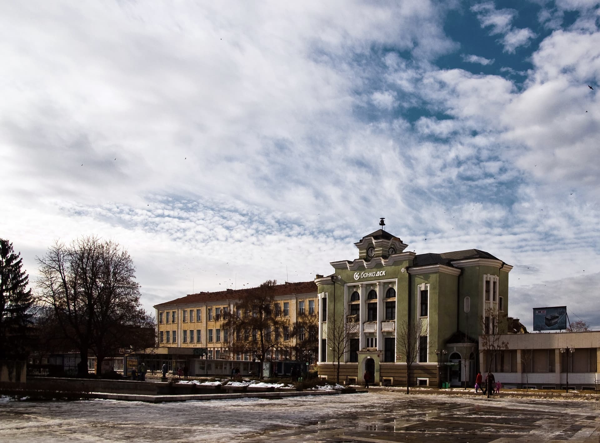
Targovishte is a provincial capital in north-eastern Bulgaria, on the Danubian Plain at about 170 m, north of the Preslav hills. Until 1934 it was called Eski Dzhumaya. It has about 32,500 inhabitants (NSI, end of 2025). Shumen is 41 km to the east, Veliki Preslav 25 km and Varna about 120 km.
There are traces of Thracian settlements from the 5th–3rd century BC and of a Roman settlement around the town. An early Byzantine fortress of the 5th–6th century guarded the pass into Thrace. One hypothesis places the battle of 811 between Khan Krum and Emperor Nikephoros in the Targovishte pass. The name Eski Dzhumaya first appears in an Ottoman register of 1573, and the town was known for its large fair. Petko R. Slaveykov taught at the cell school, which became a secular school in 1846. In January 1878 armed bands burned the fairground, the market and about 400 shops.
The town’s day is 14 May. In mid-May the "Targovishte Exhibition" fair is held, successor to the old Eski Dzhumaya fair.
The town is on the Sofia–Varna railway. By car from Sofia it is about 320 km, around 4 h 30 min; from Shumen about 40 minutes.
The Marinata Dupka cave (about 9 km), Veliki Preslav, Omurtag and the Shumen Plateau Nature Park.

Targovishte region
8.6 km away
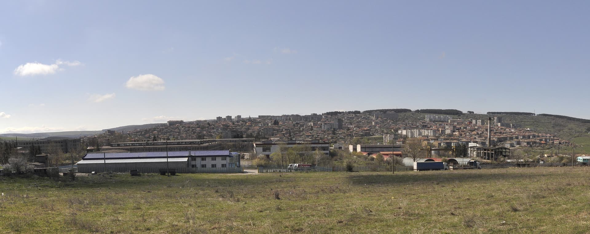
Targovishte region
20.3 km away
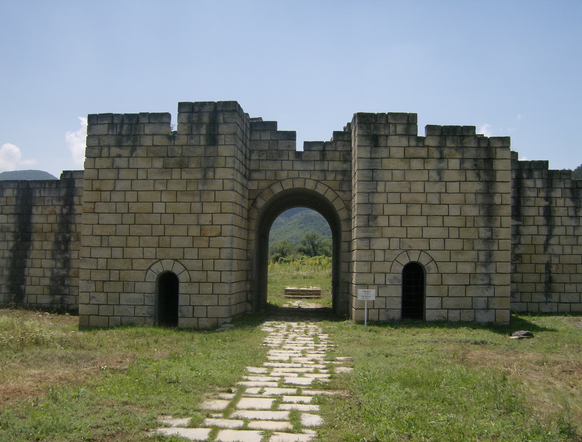
Shumen region
21.9 km away
Shumen region
22.6 km away
Targovishte is located in Targovishte, Bulgaria.
Targovishte is most easily reached by car. Use the coordinates above to navigate, or open the location in OpenStreetMap or your preferred maps app for turn-by-turn directions. Public transport options vary by region — for remote destinations a rental car gives the most flexibility.
Targovishte can be visited year-round, but late spring (May–June) and early autumn (September–October) offer the most pleasant weather and fewer tourists. Summer is the busiest season; winter is the quietest, with shorter daylight and possible cold weather.
Bulgarian settlements typically reward unhurried walking — historic centres, churches and monasteries, local markets, and family-run restaurants serving regional dishes. Larger towns often have museums and seasonal cultural events. The local tourist information centre is a good first stop for current opening hours and what's on.