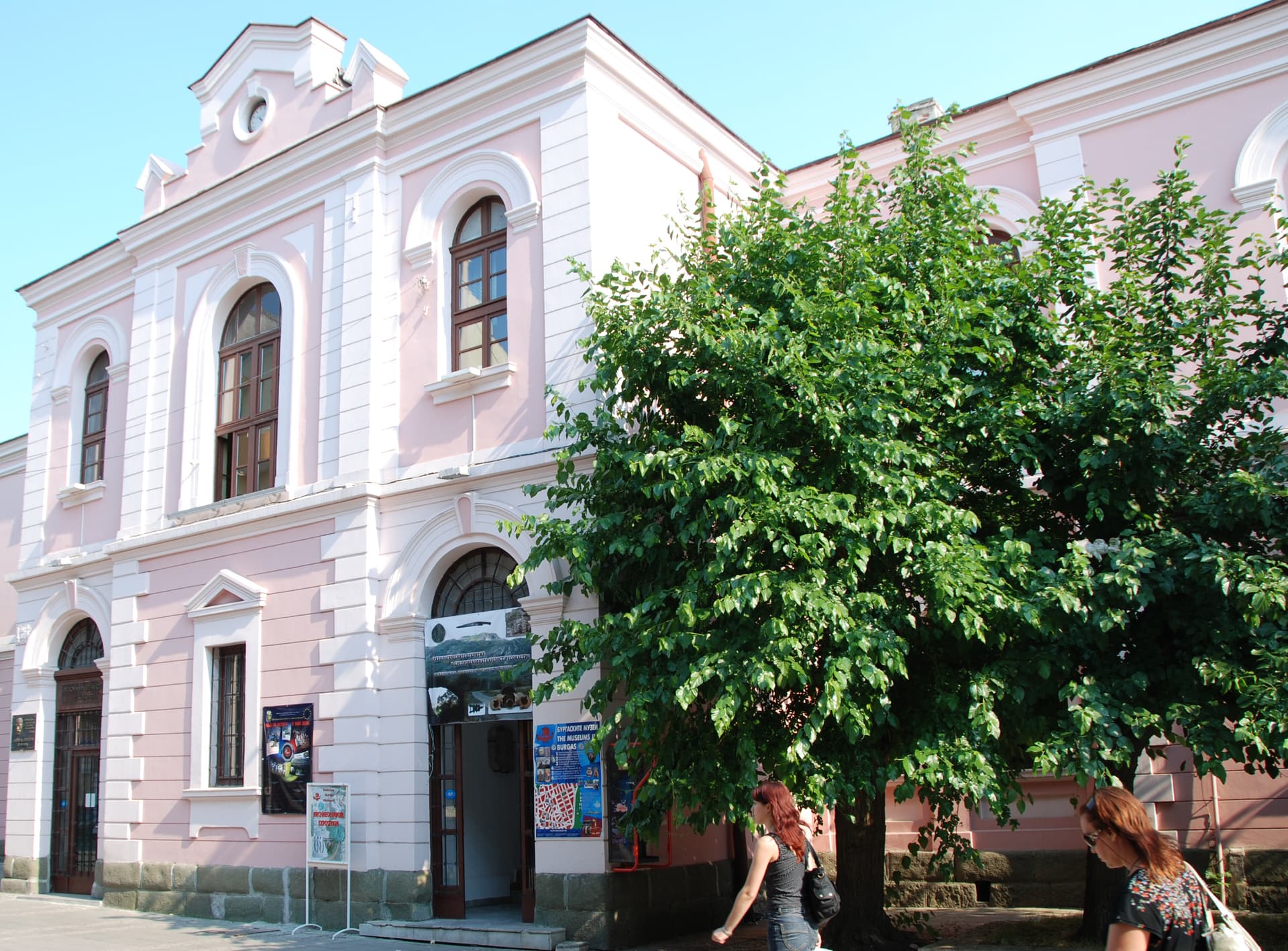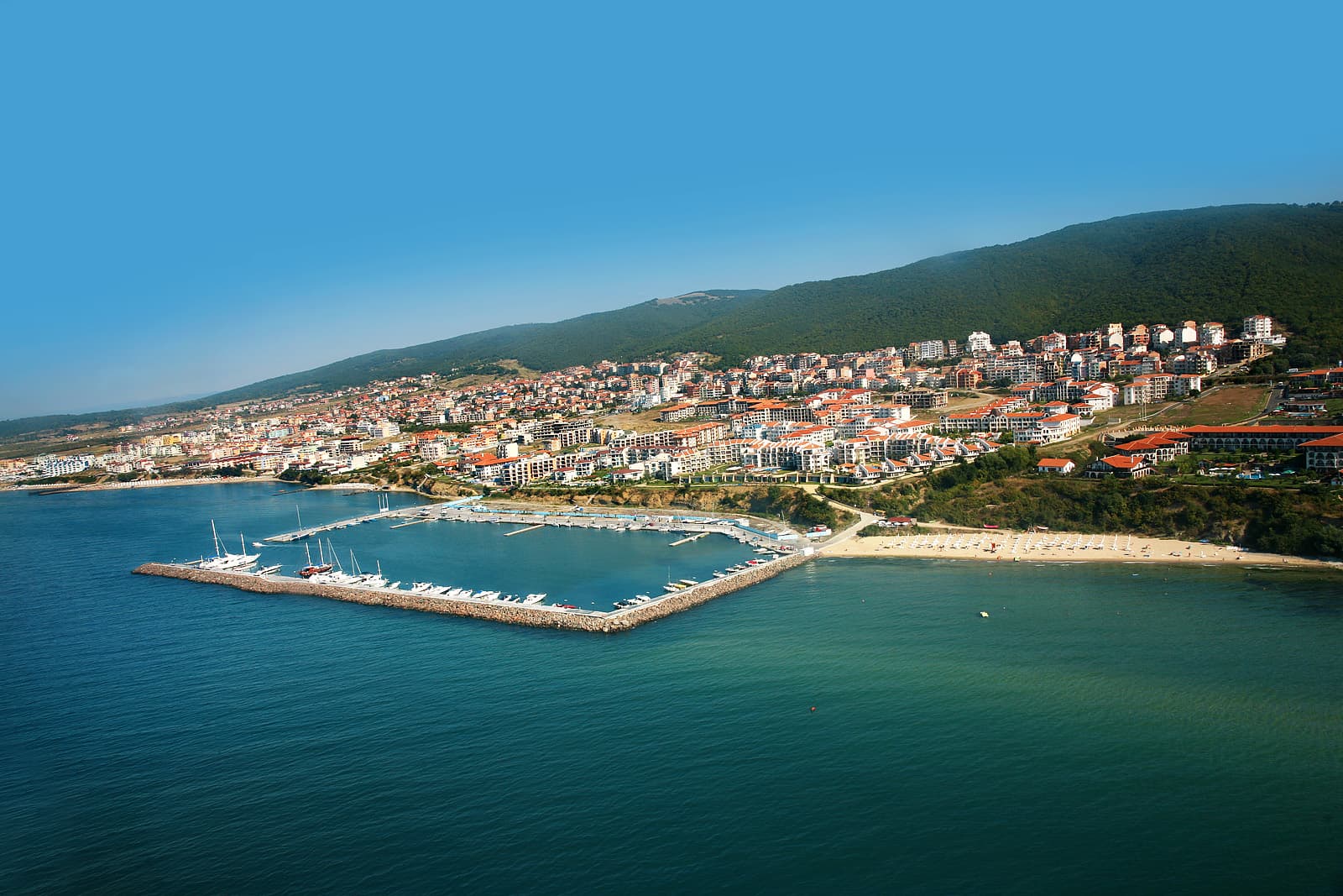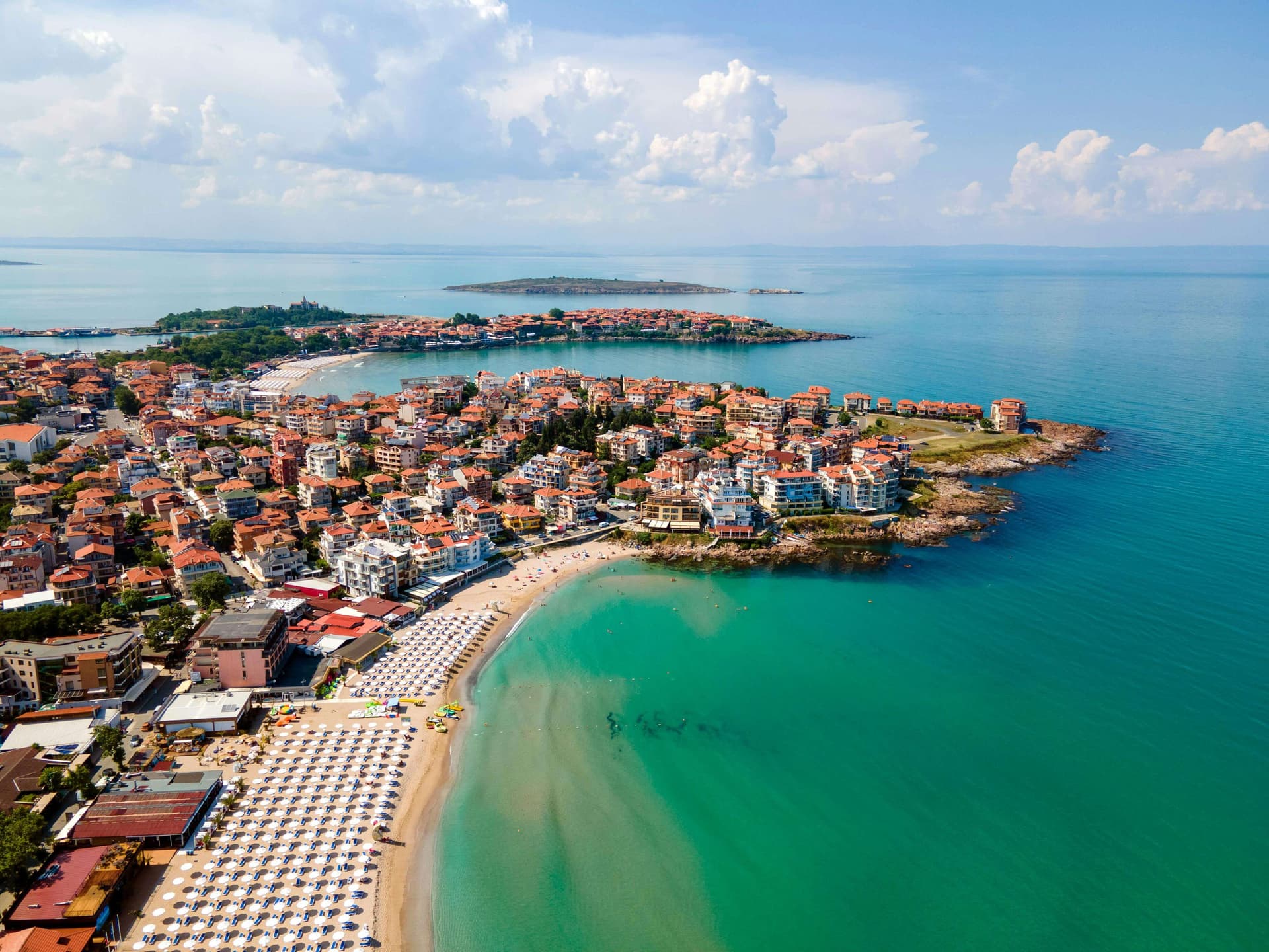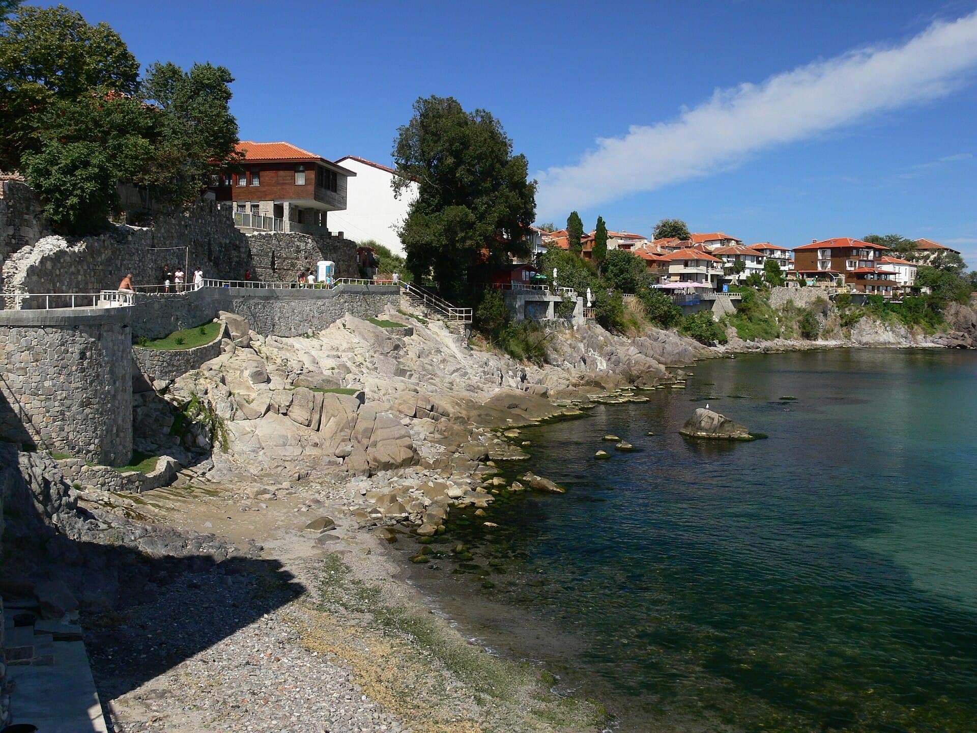
South-East Bulgaria
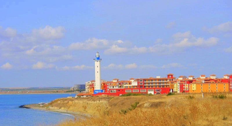
Sozopol · Wikimedia Commons (CC-BY-SA)
South-East Bulgaria is one of the country's six planning regions and covers the oblasts of Burgas, Sliven, Stara Zagora, and Yambol. It spans 19,799 km² and has a population of about 1.039 million (2018). Burgas is the region's largest city and economic centre.
Geography & location
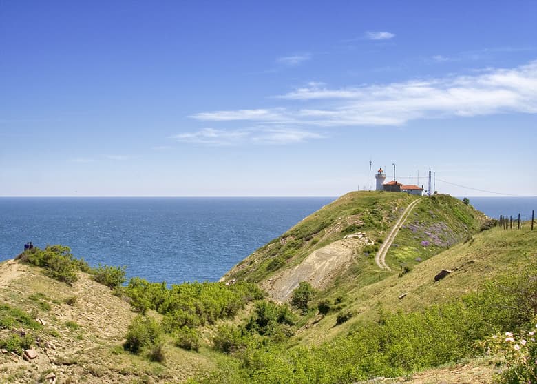
South-East Bulgaria has a wide outlet to the Black Sea, with 224 km of coastline to the east, and a long border with Turkey to the south along the Strandzha and Derventski hills. Although geographically more central-southern, the oblast of Stara Zagora was reassigned to this region in 2006 to meet Eurostat requirements. European transport corridors No. 8 and No. 9 cross the territory, alongside the Sofia–Burgas railway, while the Lesovo border crossing carries the road link to Edirne. The northern boundary follows the ridge of the central and eastern Stara Planina — the Shipka, Republic, Vratnik, Kotel, Varbitsa, and Dyulino passes ease connections with the North-Central and North-East regions. To the west the region borders South-Central Bulgaria.
Climate & natural resources
The region offers favourable natural conditions and resources for agriculture, transport, tourism, and resort development, with the Black Sea playing a central role in the local economy. The relief ranges from lowland to low-mountain. The most important energy raw materials are the lignite deposits of the Maritsa basin, which holds more than 70% of the country's coal reserves. Coking coal has been opened in Balkanbas, brown coal near Burgas, and lignite in the Elhovo basin, although their economic significance is limited. Mineral resources also include copper and polymetallic ore deposits across the region.
Rivers & water resources
The region's water resources are limited and used in an integrated way. The coastal lagoons yield salt and therapeutic mud, supporting both traditional industries and a thriving spa-tourism sector. Mineral springs at Pavel Banya, Stara Zagora Mineral Baths, Sliven Mineral Baths, and Merichleri rank among the country's leading balneological resorts.
Soils & farmland
The region's soils are well suited to a wide range of agricultural crops — cereals, vegetables, sunflower, cotton, rice, orchards, and vines. The Upper Thracian Lowland is among the most fertile farming areas in Bulgaria, and the eastern parts of the region also work substantial vineyards and gardens.
Forests
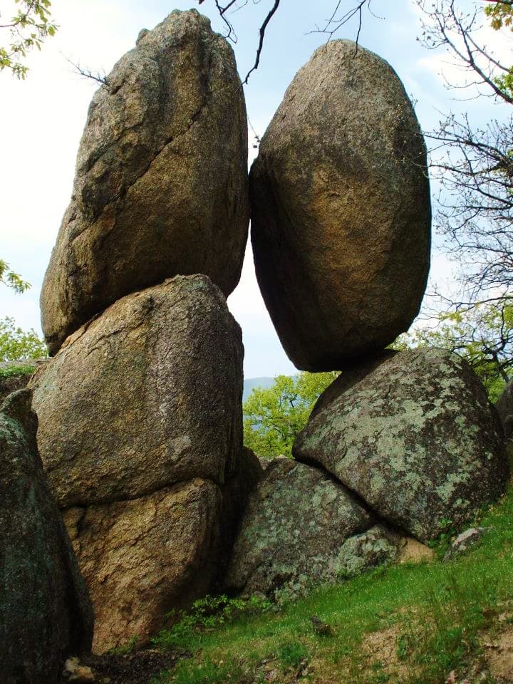
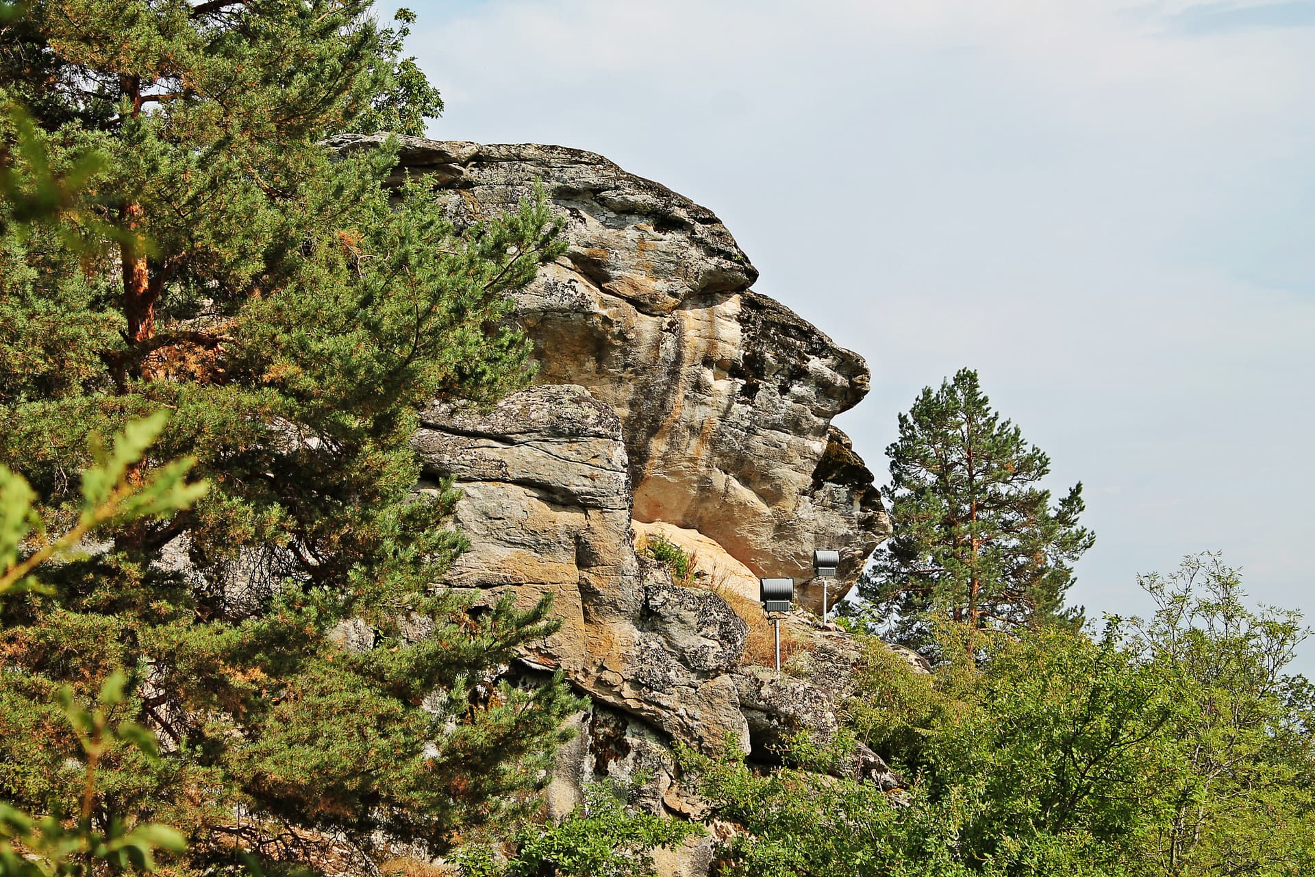
The region holds about 10% of the country's timber reserves, mostly broadleaf species. Especially valuable are the oak forests of Strandzha — whose Strandzha Nature Park is the largest protected area in Bulgaria — and the woodlands of the eastern Stara Planina and the Sinite Kamani (Blue Stones). They draw visitors for hiking, hunting, and wildlife watching.
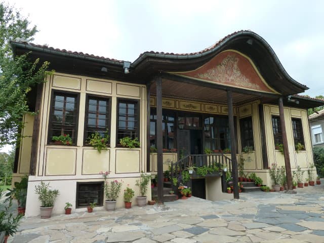
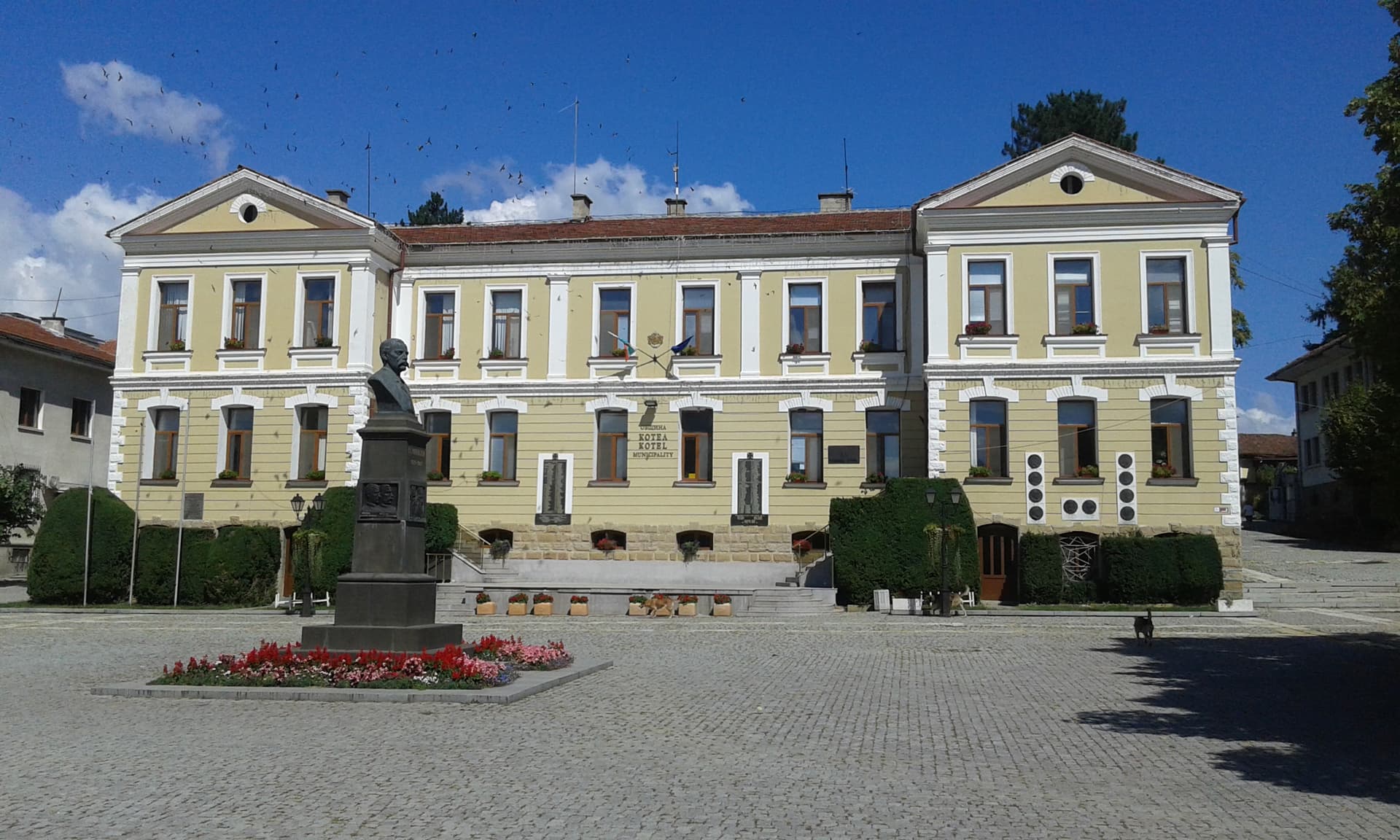
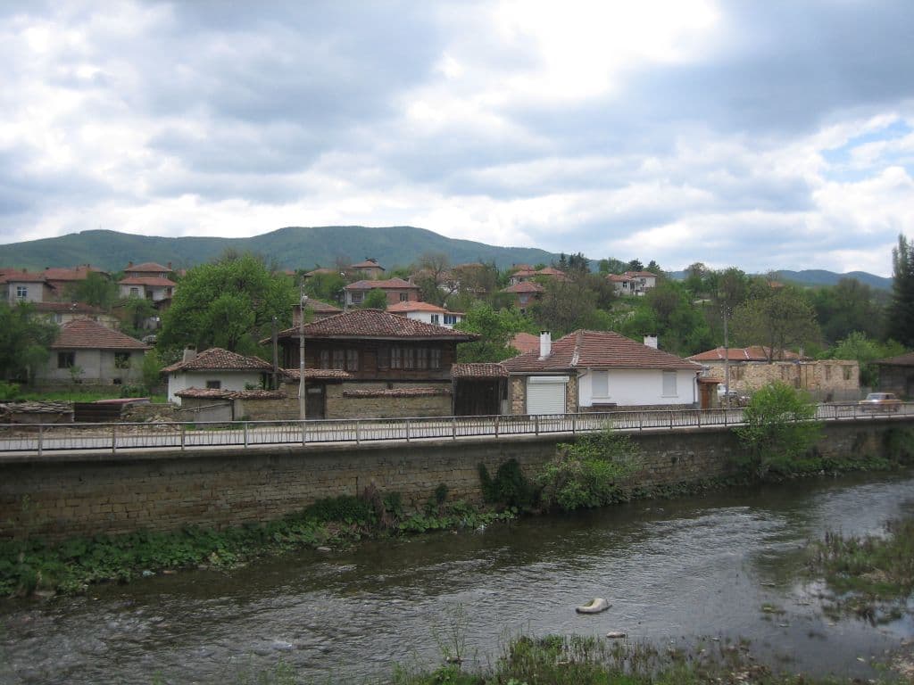
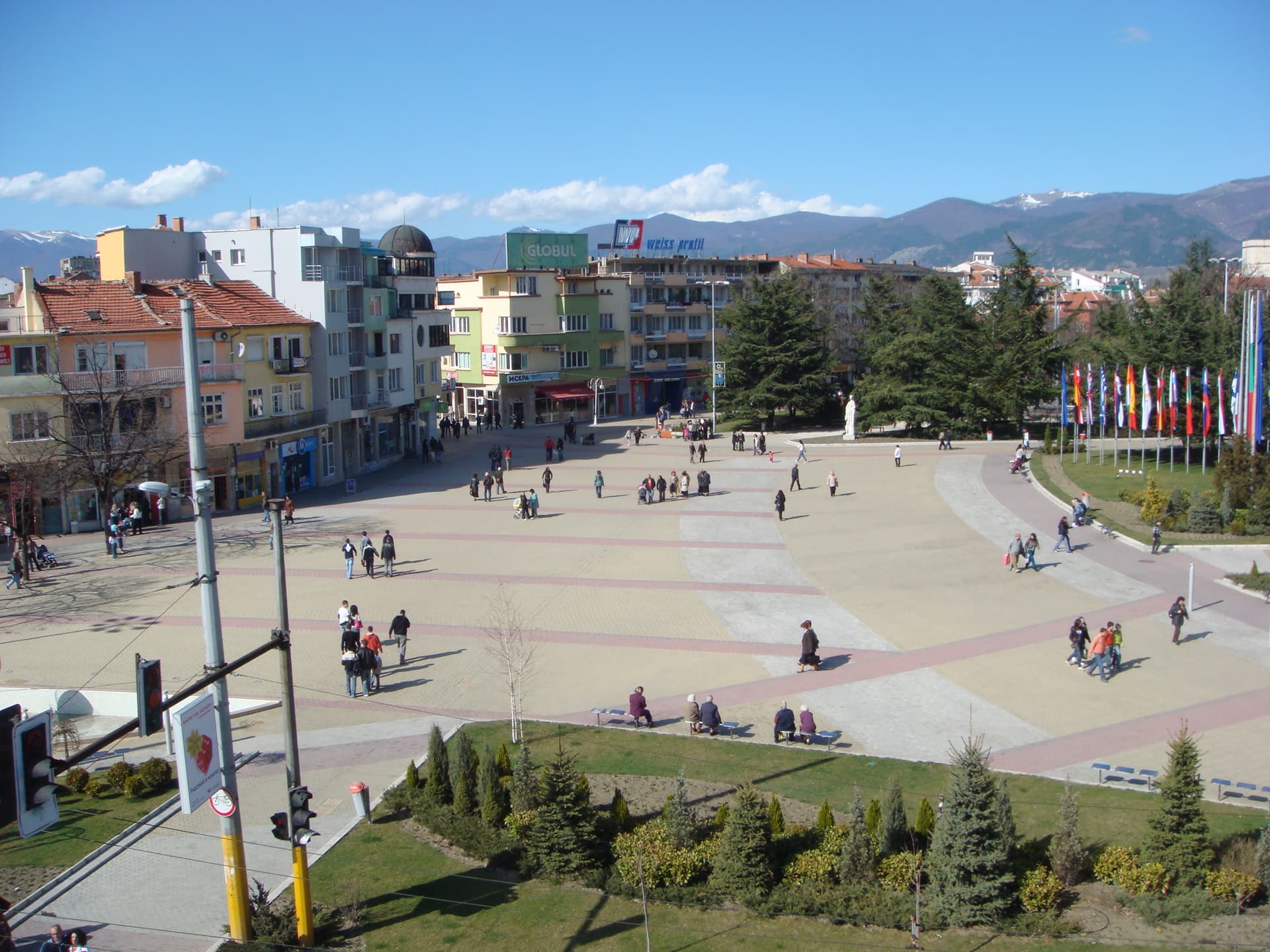
Population & settlements
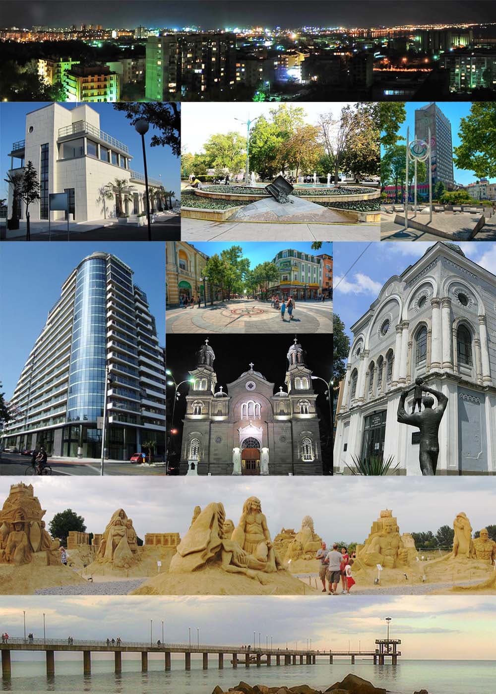
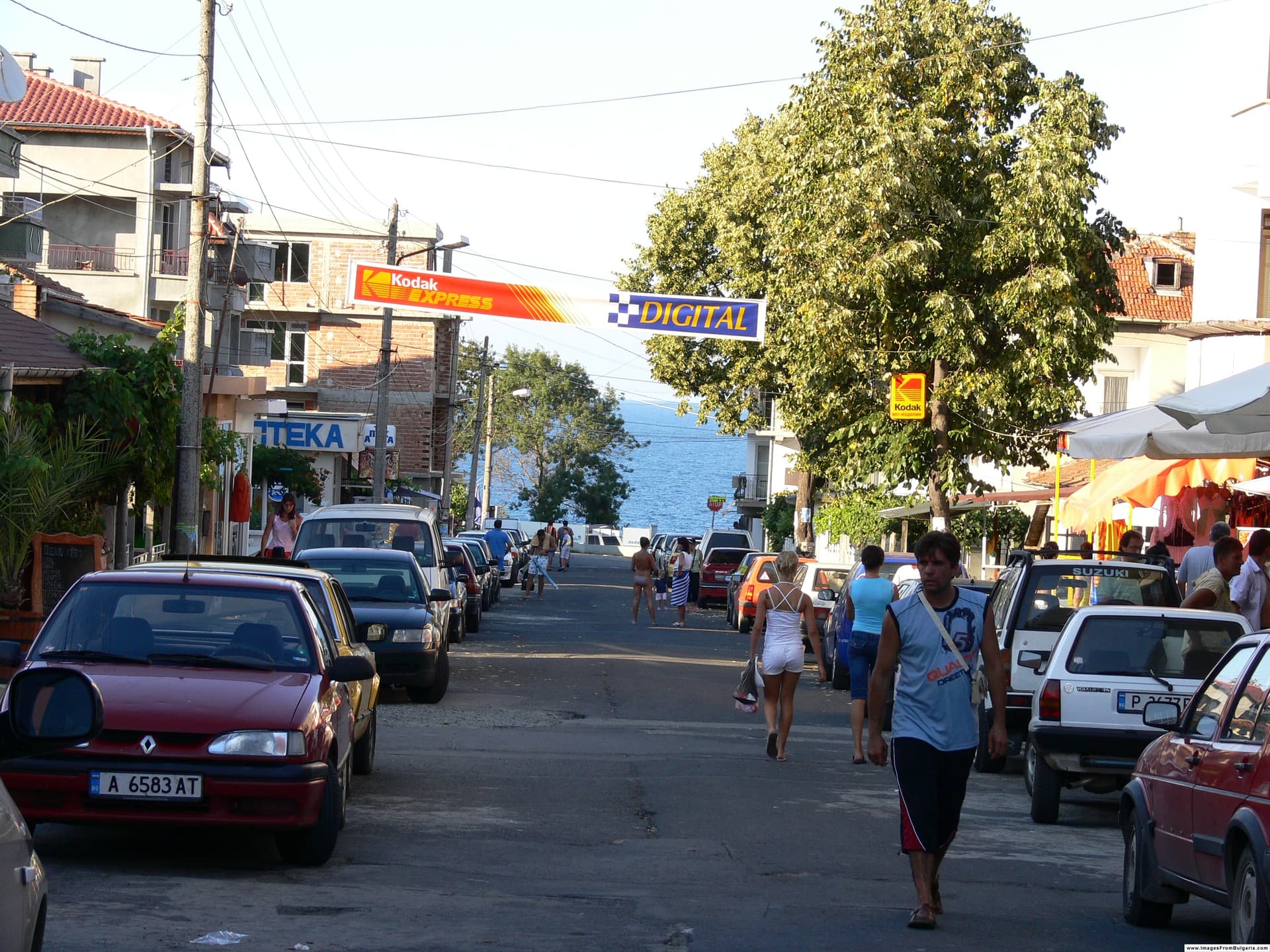
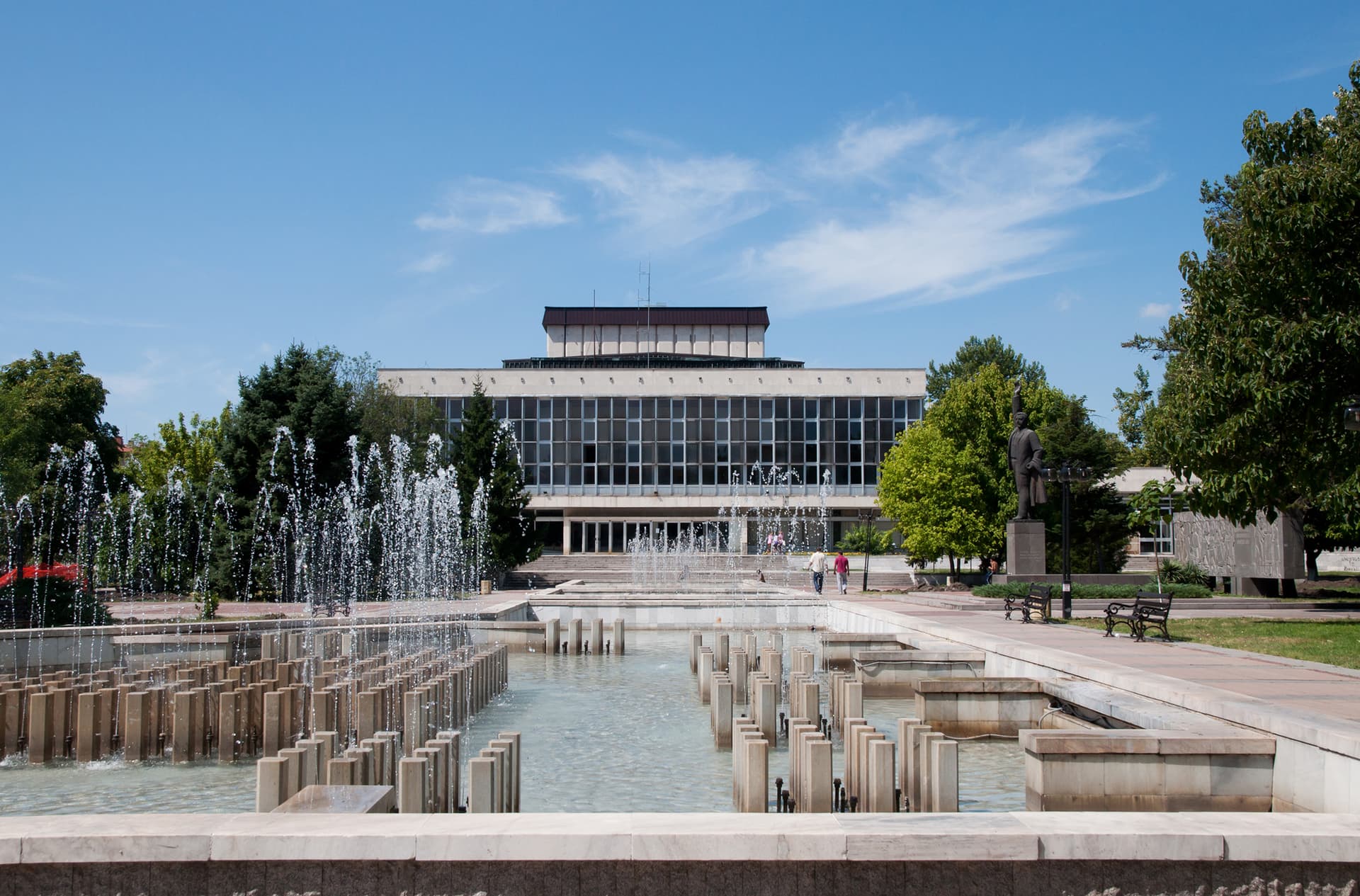
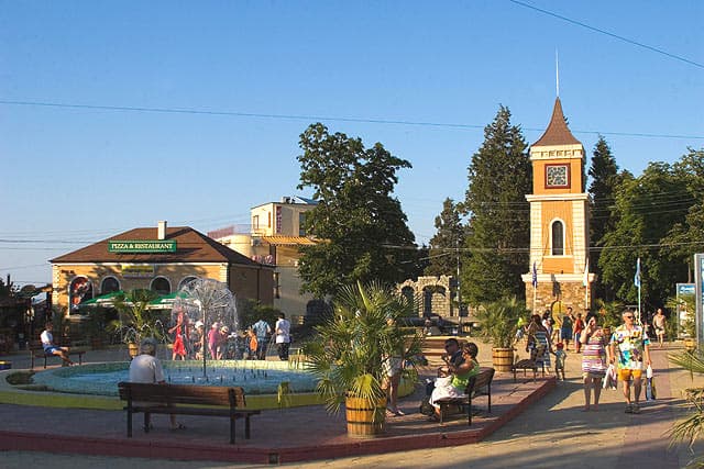
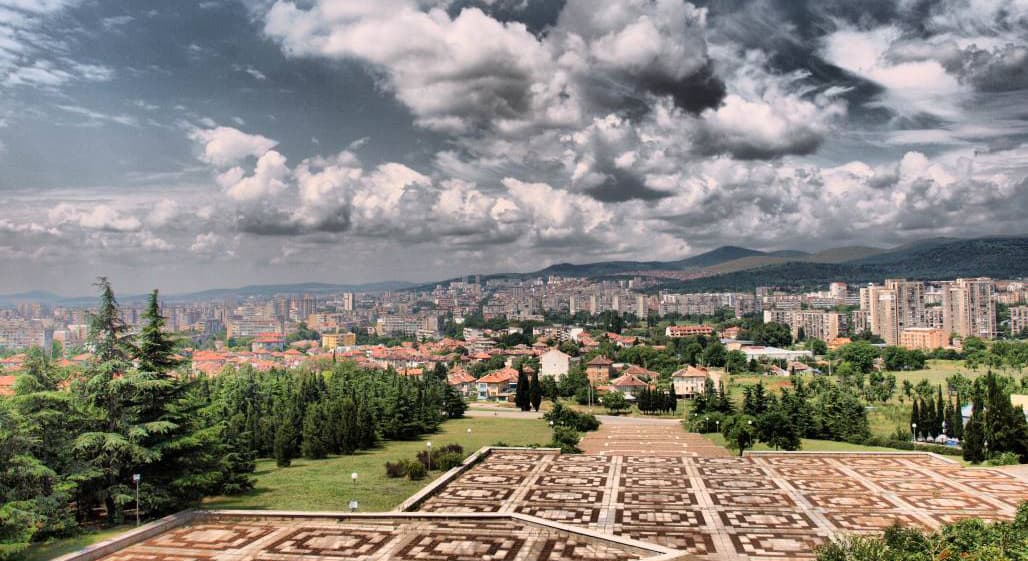
Average population density in South-East Bulgaria is relatively low — 57 people per km², close to that of the North-West. Burgas is the unquestioned economic and administrative anchor of the region, with Stara Zagora the second-largest urban centre inland. During the summer season, the influx of tourists to the Black Sea coast — Sunny Beach, Nessebar, Sozopol, Pomorie — substantially swells the population of the coastal municipalities.