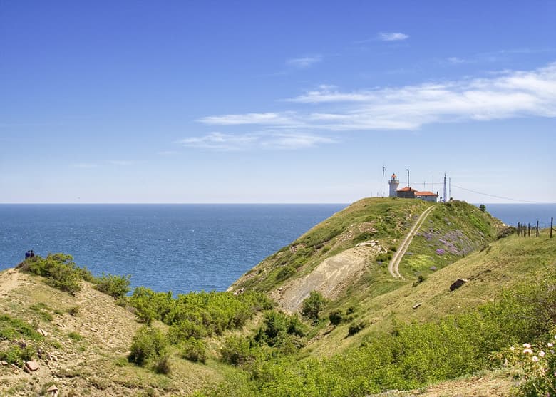
Cape Emine is one of the most remarkable, rugged, and majestic rock capes stretching along the entire Black Sea coast of the Republic of Bulgaria. In geographical and oceanographic terms, it functions as the official symbolic boundary dividing the Bulgarian Black Sea shoreline into two major sectors - the Northern and Southern Black Sea coasts. The cape commands excellent logistical recognition, positioning at a distance of 79 kilometers south of the maritime capital, the city of Varna, 54 kilometers north of the regional center, the city of Burgas, and 14 kilometers south of the resort town of Obzor.
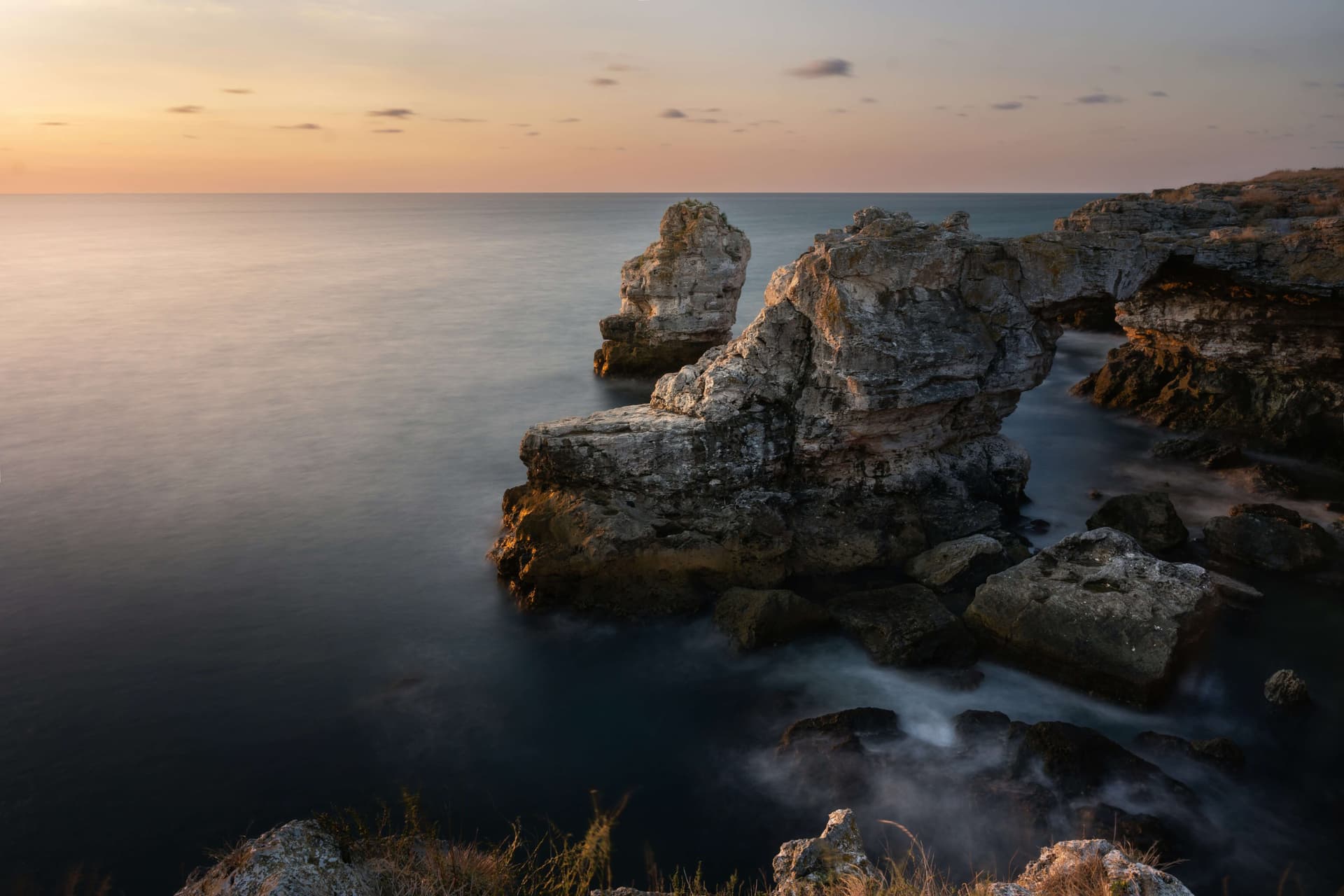
In morphological terms, Cape Emine represents the definitive and easternmost terminus of the majestic Balkan Mountain Range (Stara Planina), marking the collision where the mountains meet the Black Sea. The landmark rises as an almost vertical, daunting 60-meter cliff, encircled amphitheatrically by hundreds of submerged and jagged surface rock reefs. These hazardous rocky structures are scattered into the marine waters extending across a distance of more than 250 meters from the shoreline. This specialized topography renders the waters of Emine exceptionally treacherous for international maritime navigation.
Consequently, sailors steer their vessels far from the coast, despite the fact that a large, continuously operating marine lighthouse stands atop the cliff's summit to guide ships. Due to its unique geology, well-preserved ecosystem, and wild landscapes, Cape Emine has been protected since 1976 under the legal status of a natural landmark.
The district framing the cape is saturated with centuries of profound history. In immediate proximity to the rocky crest, archaeologists have surveyed and conserved valuable remnants of a medieval Orthodox monastery and the ruins of the extensive ancient and medieval fortress of Emona. The original nomenclature of the citadel derives directly from Aemon, the ancient Greek title for the Balkan Mountains. The nearby authentic village of Emona, situated adjacent to the cliffs, bears the same historic name.
Cape Emine holds a prominent position within Bulgarian outdoor and sports culture. This rocky shore serves as the official final terminus of the prestigious E3 European Long Distance Pedestrian Path. The final Bulgarian section of this trans-European trail is the legendary national thru-hiking route Kom - Emine, which traverses the entire spine of the Balkan Mountains from the western border to the sea. Expanding immediate to the north of the cape's territory is another celebrated ecological zone - the Irakli Protected Area.
The rugged and wild beauty of the cape has inspired the creation of poignant local folklore. An ancient maritime legend narrates that the keeper of the high lighthouse was once a veteran sailor who lived in complete seclusion on the cliffs alongside his only daughter, who possessed exceptional beauty. The maiden grew up in absolute freedom amidst the waves - she swam excellently, navigated fishing boats, and caught fish alongside the local men. The harsh Black Sea forged her into an exceptionally strong, brave, and proud individual.
Once, during a violent night storm, the maiden risked her life to rescue a young shipwrecked sailor from certain death. The sailor fell deeply in love with his rescuer. Upon his departure, he promised solemnly that he would return soon to wed her, but he subsequently broke his word. From morning until late evening, standing on the most exposed edge of the cape, the girl faithfully awaited the appearance of his ship. Ultimately, driven mad by despair and sorrow, she threw herself from the 60-meter cliff directly into the churning sea, and the waves around Emine turned a permanent crimson-red color.

Burgas region
4.2 km away

Burgas region
10.3 km away
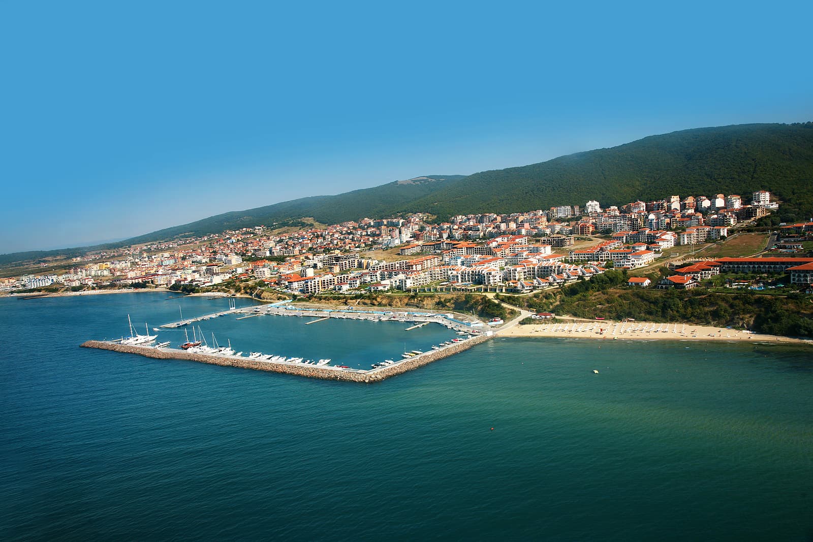
Burgas region
11.7 km away
A guide to the Kom–Emine trail, Bulgaria's ~600 km E3 traverse of the Balkan Mountains from Kom Peak to the Black Sea: route, stages, water, huts and season.
Planning a coastal drive in Bulgaria? The full route from Durankulak to Rezovo: Tyulenovo, Cape Kaliakra, Nessebar, Sozopol and the Veleka mouth.
Cape Emine is located in Burgas, Bulgaria.
Cape Emine is most easily reached by car. Use the coordinates above to navigate, or open the location in OpenStreetMap or your preferred maps app for turn-by-turn directions. Public transport options vary by region — for remote destinations a rental car gives the most flexibility.
Cape Emine is best walked from May through October, when the trail is clear of snow and weather is generally stable. Summer middays can be hot at lower altitudes — start early. Winter walking requires proper gear and route knowledge.
Suitability depends on the specific route. Bulgarian trails range from paved family-friendly paths to multi-day high-mountain crossings. Check the length, elevation gain, and surface before setting off. Sturdy footwear, water, and a basic map (offline or paper) are essential even on short walks.