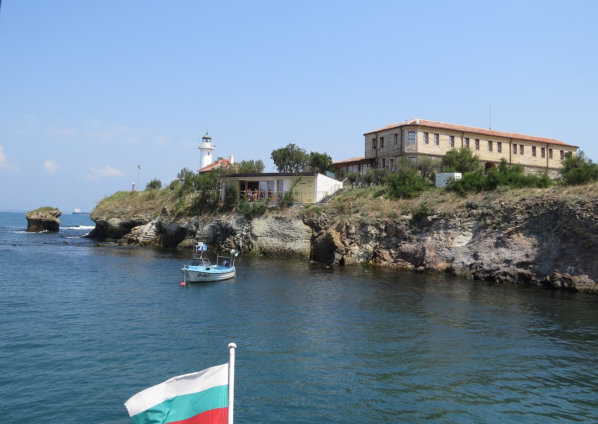
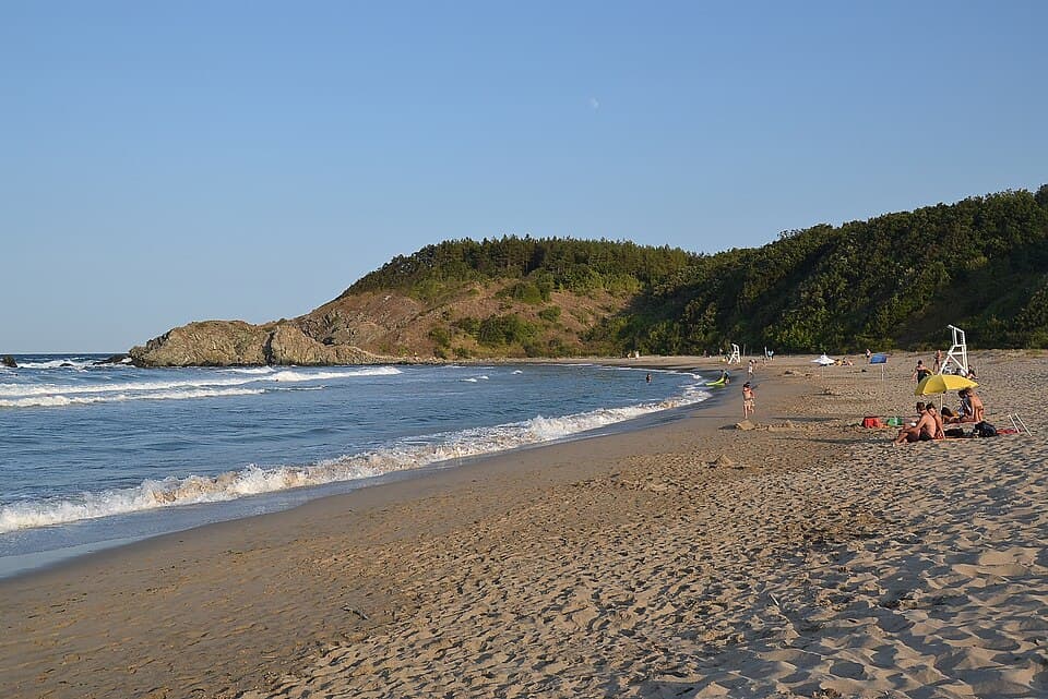
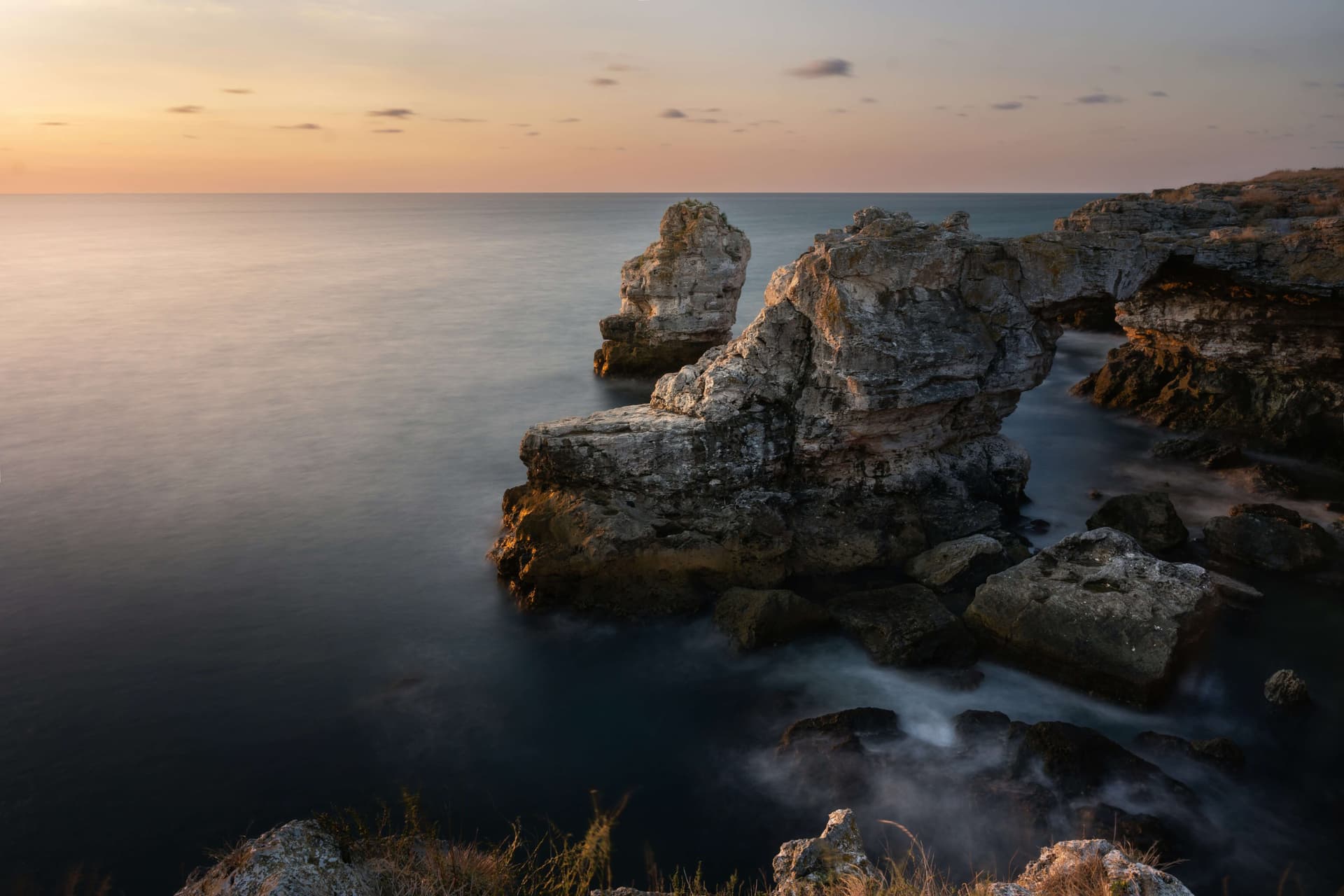
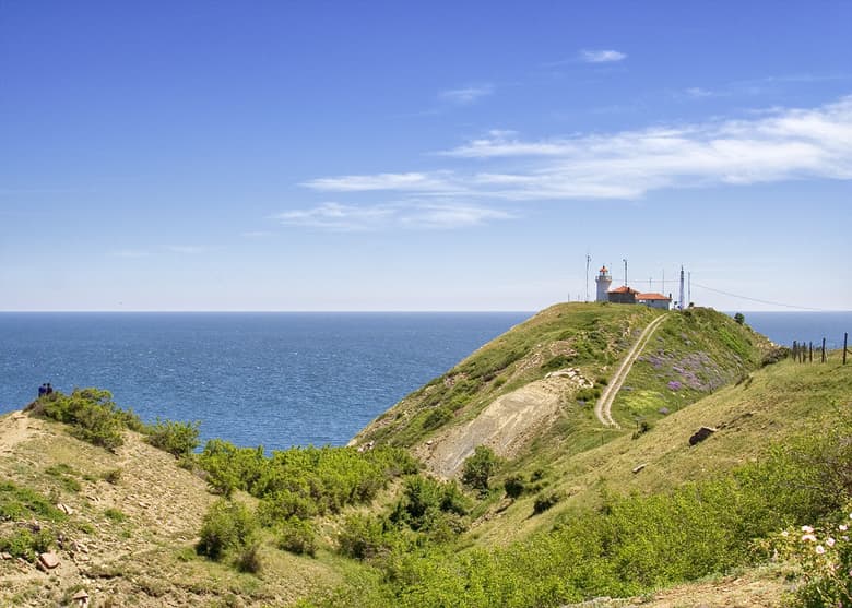
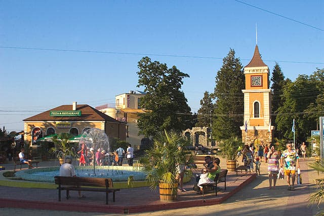
Irakli is one of the most famous, magnetic, and beautiful coastal localities situated along the Bulgarian Black Sea coast. It positions within the administrative boundaries of the Nesebar Municipality, Burgas Province. The site is located immediate to the historic village of Emona and Cape Emine, occupying a pivotal geographical position dividing the Northern and Southern sectors of the Black Sea shoreline. Irakli enjoys excellent logistical connectivity to surrounding urban hubs, located 3 kilometers from Banya village, 12 kilometers from the resort town of Obzor, 20 kilometers from the town of Byala, 65 kilometers north of the regional center, the city of Burgas, and 71 kilometers south of the maritime capital, the city of Varna. Due to its outstanding environmental value, the locality sits entirely within two major overlapping protected areas integrated into the European ecological network NATURA 2000: the Emine Protected Area, engineered for the conservation of wild birds, and the Emine-Irakli Protected Area, oriented toward the long-term stabilization of natural habitats. Ecological Status, Flora Assets, and Environmental Management The sandy beach of Irakli positions immediate to the officially declared Irakli Protected Area, which extends across a total land area of 42.30 hectares. This territory was declared protected by the Bulgarian government via a specialized Decree number RD110 issued on May 6, 1994. The primary state objective governing this legal framework is the complete preservation of typical coastal habitats, sand dunes, and river mouths serving as native environments for rare and endangered plant and avian species. Within the perimeter of the beach, unique psammophytic plants grow, strictly recorded inside the Red Data Book of Bulgaria and sheltered under the Biodiversity Act. Standing out among the iconic flora variants here are the delicate sand lily, spurge, sea stachys, sand spurge, Tatar sea-kale, sea holly, and Eryngium maritimum. Since the Irakli Protected Area sits entirely within the state forestry fund, according to the strict guidelines of the Protected Areas Act, it is permanently monitored by officers representing the Nesebar State Forestry Enterprise, attached to the Southeastern State Enterprise in the city of Sliven. This management operates under the direct supervision of the Regional Forestry Directorate in Burgas and the Regional Inspectorate of Environment and Water in Burgas. Geographical Parameters and Historical Background In historical terms, the region guards deep roots, hosting the developed medieval maritime port of Viza during the 13th and 14th centuries AD. This harbor served the merchant fleets of the Second Bulgarian Kingdom and the Byzantine Empire. Today, Irakli features an impressive beach strip boasting a continuous length exceeding 2.6 kilometers. The beach is exceptionally clean, fine, and entirely devoid of rocky structures. Anchored at the absolute southern tip of the beach zone is a permanent monitoring station managed by the Green Patrols National Movement. Extending south from that point, all the way to the rugged cliffs of Cape Emine, is a long protected coastal zone where any disruptive human intervention is strictly prohibited. Cultural Phenomenon and Traditions While old bungalows managed by various state institutions and organizations position at one edge of the vast beach, the remaining coastline is globally celebrated for its pristine wilderness and unpolluted environment. Such a well-preserved ecosystem is practically non-existent elsewhere along the highly commercialized and overdeveloped Bulgarian Black Sea coast. Because Irakli sits far from major loud and commercial resorts such as Golden Sands and Sunny Beach, and entirely lacks built-up tourist infrastructure, the destination attracts primarily youth, artists, and environmentalists. These travelers deliberately overlook the complete absence of modern utility services in exchange for direct, pure communion with nature. During the summer season, the beach accommodates naturists, and hundreds of tents are pitched throughout the forest buffer, with entire families wintering in the camp from June until September. A traditional and unique sight framing Irakli is the creation of authentic artworks utilizing natural materials washed ashore by marine currents. Beachgoers construct sculptures, installations, and intricate sand mosaics out of seashells, river stones, driftwood, and whelk shells. The specific atmosphere of the bay stimulates individuals toward various art mediums, including playing acoustic instruments around campfires, composing poetry, and landscape photography. Irakli also operates as one of the most critical and cult locations in Bulgaria for the annual celebration of July Morning. This specific festival is deeply rooted in the organized gathering to welcome the first sun rays breaking on the morning of July 1. Initially established by the hippie movement based in the city of Varna, the event currently attracts thousands of people arriving from different regions of Bulgaria and across the globe, establishing Irakli as a permanent symbol of freedom, youth, and independent spirit.
Burgas
4.2 km away
Burgas
9.1 km away

Burgas
9.7 km away
Burgas
10.7 km away
Irakli Beach is located in Burgas, Bulgaria.
Irakli Beach is most easily reached by car. Use the coordinates above to navigate, or open the location in OpenStreetMap or your preferred maps app for turn-by-turn directions. Public transport options vary by region — for remote destinations a rental car gives the most flexibility.
Irakli Beach can be visited year-round. Spring and autumn offer the most pleasant conditions for exploring, with mild temperatures and fewer crowds. Summer is ideal for photography and longer day trips; winter visits are possible but weather can limit access at some sites.
Most natural landmarks in Bulgaria are freely accessible and open year-round, though some sites have entrance fees or require a guide. Wear sturdy footwear and bring water, as the terrain can be uneven. Respect any protective barriers and stay on marked paths to preserve the site.