MestalaMestala
HomePlacesMapTripBlogAboutFAQ
EN|БГ

Discover Bulgaria with Mestala.

AboutFAQLicensePrivacy
Ahtopol
SettlementsBurgas

Ahtopol

HomePlacesSettlementsAhtopol
Coordinates: 42.09959, 27.94341
View on OpenStreetMapGet directions

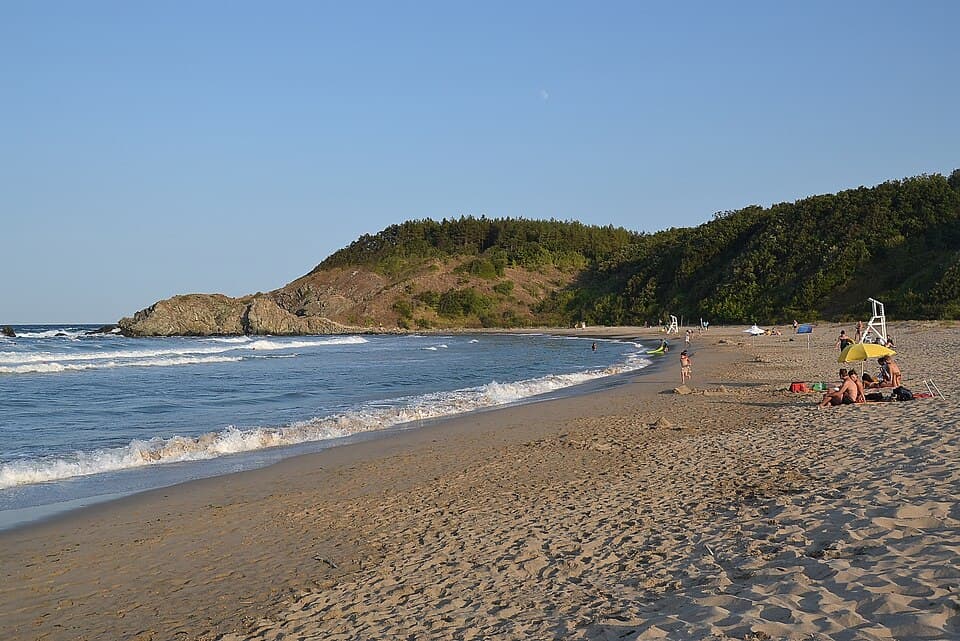
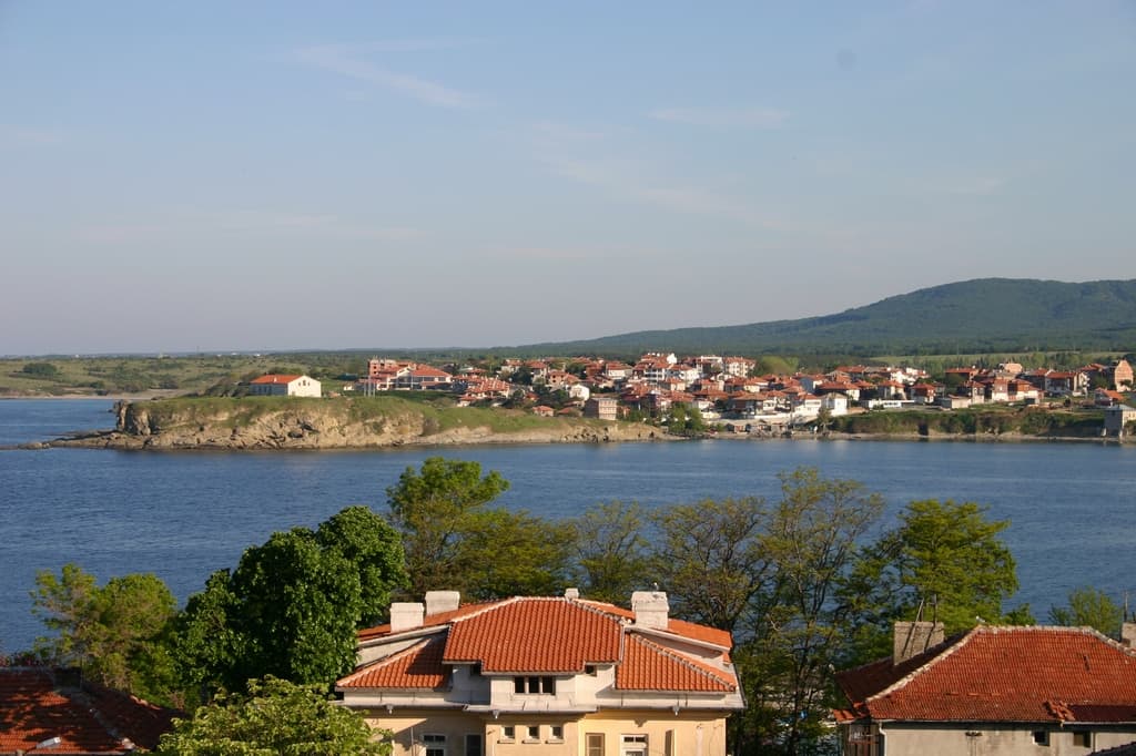
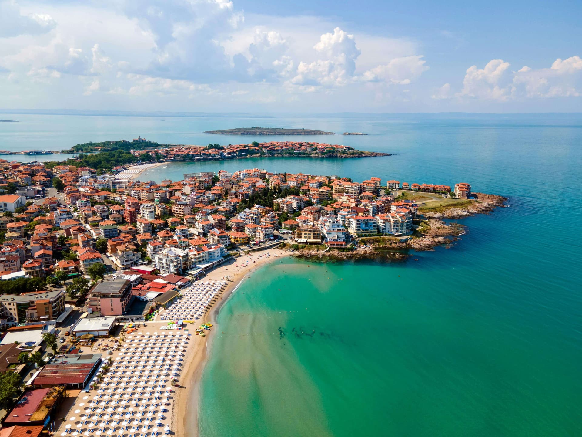
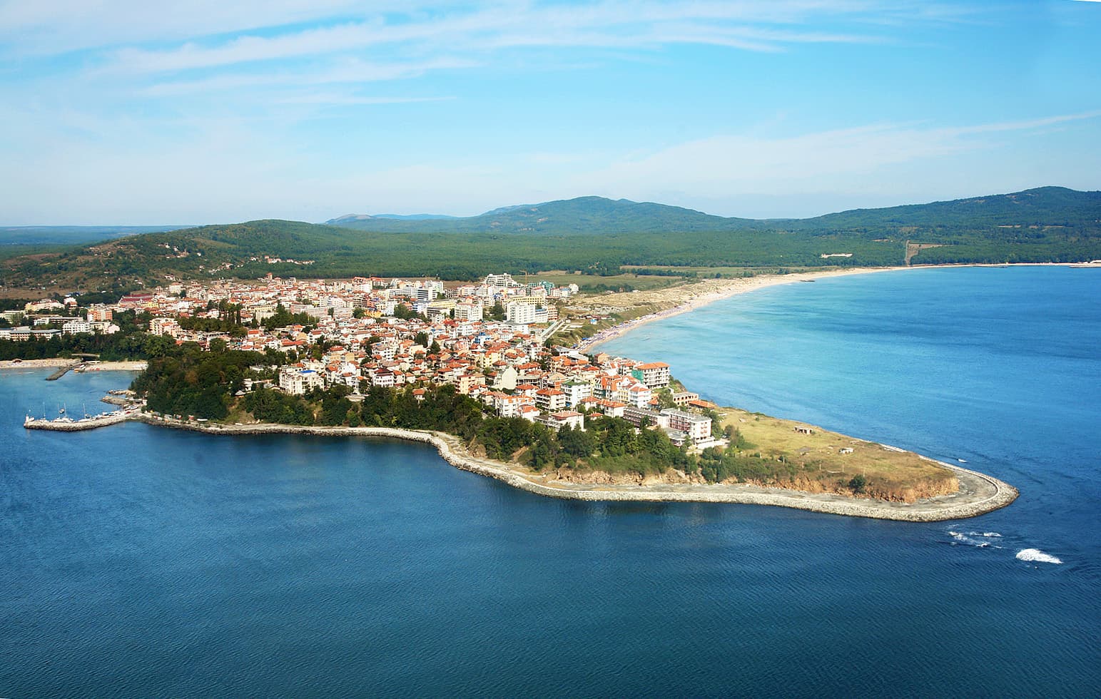
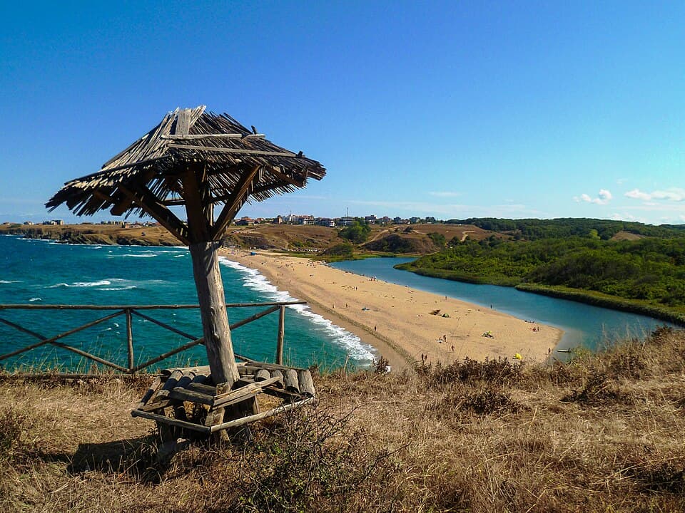
Ahtopol is a historic coastal town situated on a rocky peninsula at the foot of the Strandzha Mountains. Located 76 km south of Burgas and just 17 km from the Turkish border at Rezovo, it is often called the "Town of Love." Ahtopol is famous for its unique climate, pristine waters, and authentic atmosphere. Nature and Climate Ahtopol’s geography creates a distinct environment: - Climate: The town enjoys a Mediterranean influence, boasting the mildest winter in Bulgaria, long warm autumns, and hot summers. - Landscape: Nestled between Cape St. Yani and Cape Ahtopol, the town is flanked by the Papiya Peak (501.4 m) to the west and the scenic mouth of the Veleka River to the south. - Beaches: From Wide Sands to Hidden Coves The coastline of Ahtopol is diverse and breathtaking: - Central Beach: Located in the "Korosiata" area, this 2-km long stretch features fine golden sand and natural dunes. - Urban Coves: Charming small beaches like "The Lighthouse," "Babeshki Beach," and "St. Yani" are tucked between the coastal cliffs. - Wild South: For those seeking solitude, the beaches stretching towards Sinemorets—such as "Ahtoto" and the Veleka River mouth—offer untouched natural beauty. Tourism and Leisure Ahtopol provides a wide range of options for every traveler: - Accommodation: From modern hotels and resorts to classic bungalows and campsites. - Dining: Local restaurants are famous for serving fresh Black Sea fish and traditional Strandzha delicacies. Practical Information - Transport: Ahtopol is easily accessible via road from Tsarevo. For those traveling by public transport, it is highly recommended to check the bus schedule for Ahtopol, which connects the town with Burgas, Tsarevo, and Sofia. - Starting Point: Ahtopol serves as a perfect hub for exploring the southern coast, including nearby Sinemorets, Rezovo, and the lush forests of Strandzha Nature Park.
7-day forecast

Weather data from MET Norway

Nearby Places

Sinemorets
Settlements

Sinemorets

Burgas

5.1 km away

Silistar Beach
Landmarks

Silistar Beach

Burgas

10.2 km away

Tsarevo
Settlements

Tsarevo

Burgas

11.1 km away

Kosti
Settlements

Kosti

Burgas

14.3 km away

More to explore

Lozenets
Settlements

Lozenets

Burgas

Sozopol
Settlements

Sozopol

Burgas

Tsarevo
Settlements

Tsarevo

Burgas

Nessebar
Settlements

Nessebar

Burgas

Read more in our travel guides

Southern Black Sea Beaches: Primorsko, Kiten & Sinemorets

Southern Black Sea Beaches: Primorsko, Kiten & Sinemorets

A complete guide to the best wild and family beaches south of Burgas: Perla Bay, Drivers' Beach Alepu, Arapya, Veleka River mouth, and picturesque Silistar.

4 June 20265 min read

Frequently asked questions

Where is Ahtopol located?

Ahtopol is located in Burgas, Bulgaria.

How do I get to Ahtopol?

Ahtopol is most easily reached by car. Use the coordinates above to navigate, or open the location in OpenStreetMap or your preferred maps app for turn-by-turn directions. Public transport options vary by region — for remote destinations a rental car gives the most flexibility.

What is the best time to visit Ahtopol?

Ahtopol can be visited year-round, but late spring (May–June) and early autumn (September–October) offer the most pleasant weather and fewer tourists. Summer is the busiest season; winter is the quietest, with shorter daylight and possible cold weather.

What is there to see and do in Ahtopol?

Bulgarian settlements typically reward unhurried walking — historic centres, churches and monasteries, local markets, and family-run restaurants serving regional dishes. Larger towns often have museums and seasonal cultural events. The local tourist information centre is a good first stop for current opening hours and what's on.