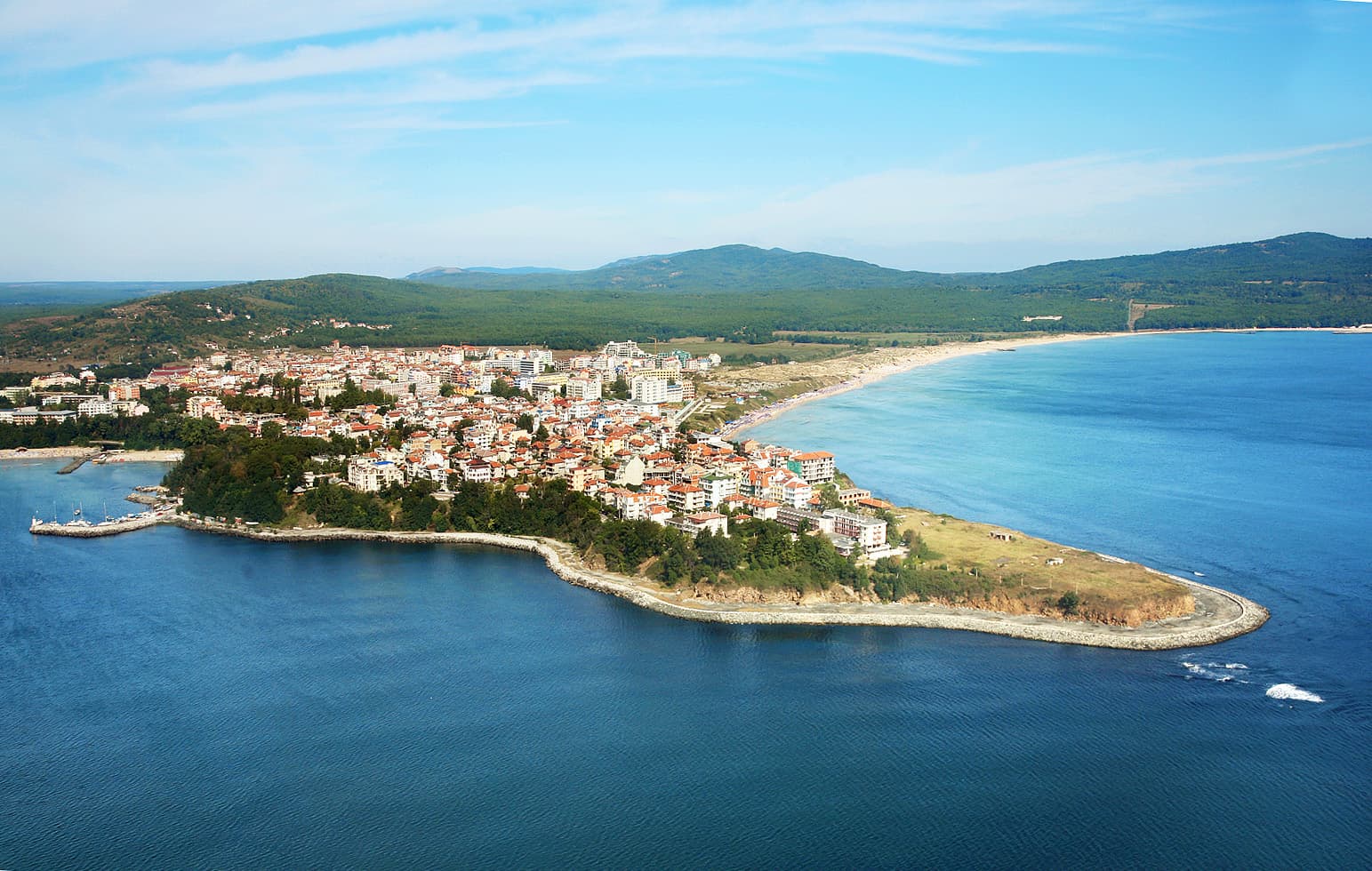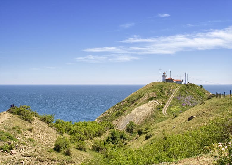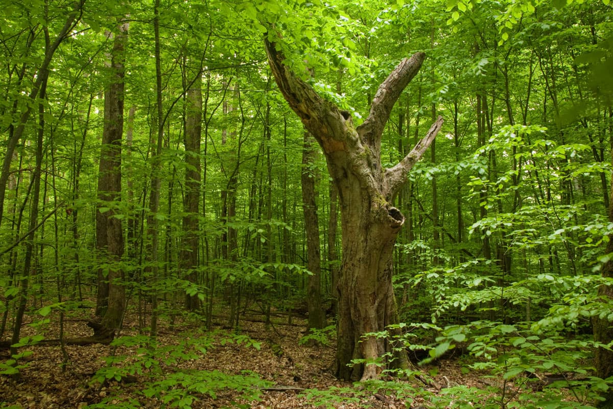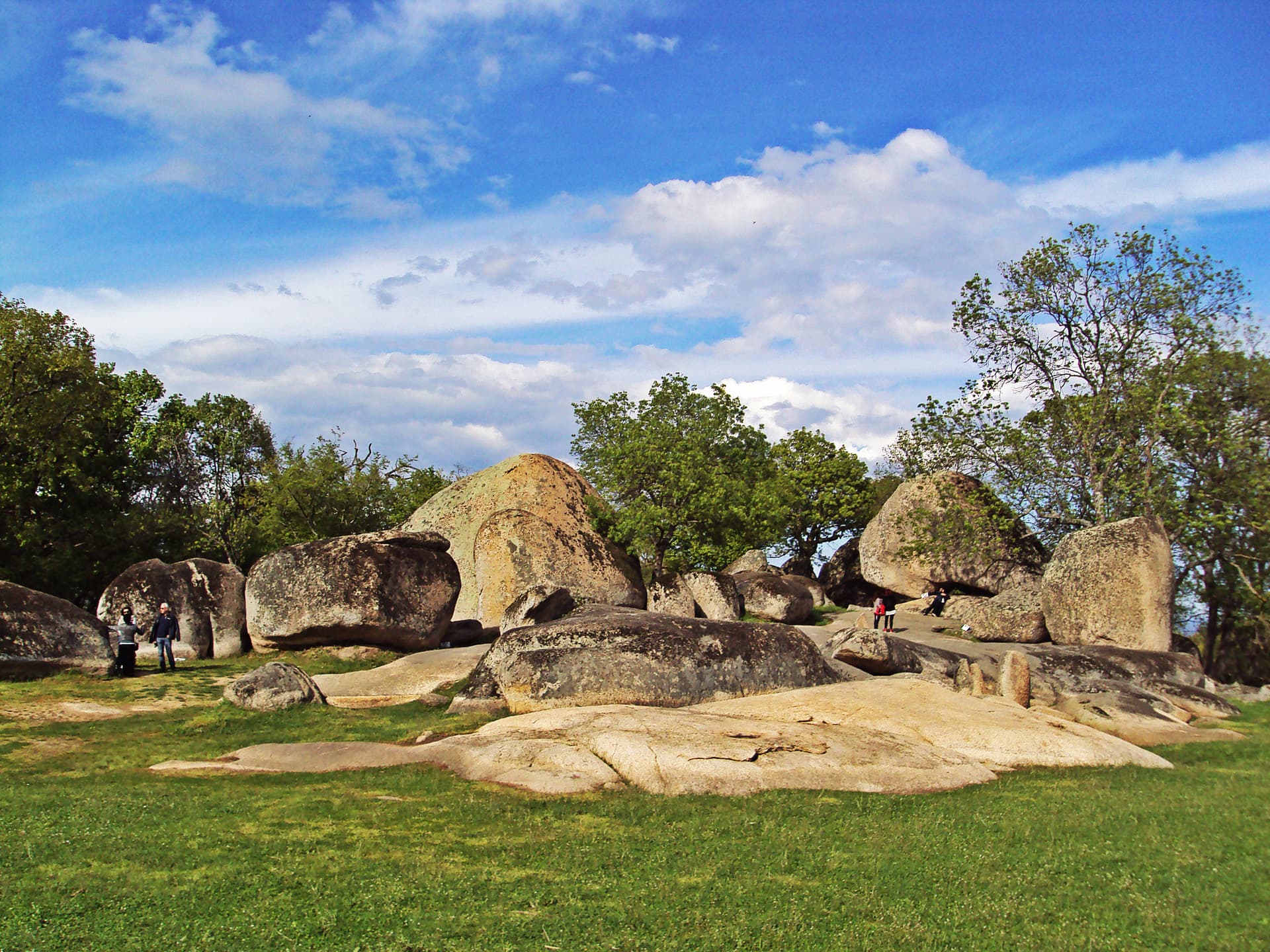
Begliktash, frequently designated across historical documents as Beglik Tash, is a unique prehistoric megalithic sanctuary situated along the southern Bulgarian Black Sea coast. The destination positions at a distance of 5 kilometers from the resort town of Primorsko and 40 kilometers south of the regional administrative center, the city of Burgas, nestled within the densely forested northern slopes of the mystical Strandzha Mountains. In geological terms, the sanctuary expands immediate to the scenic valley of the Zigra River, comprising a monumental natural rock ensemble. The formation consists of massive syenite blocks exhibiting diverse structural dimensions and dramatic shapes, forged directly on-site due to the extended spherical weathering of the rock matrices belonging to the ancient Rosen pluton. Beyond its remarkable natural layout, Begliktash operates as one of the largest, most complex, and best-preserved prehistoric megalithic sanctuaries verified across the territory of the Republic of Bulgaria. The overall perimeter of the central sacred architectural core occupies a land area of approximately 8 decares. Chronology of Scientific Discoveries and Archaeological Excavations The Begliktash sanctuary was initially recorded for Bulgarian historical science during the pioneering field surveys executed by the prominent Czech-Bulgarian scholar Karel Skorpil in the years immediately following the nation's Liberation from Ottoman rule. Inside his journals, Skorpil documented that near Cape Maslen, proximal to the historical village of Kyupriya, which operates today as the contemporary town of Primorsko, a remarkable rocky crest rises atop the Kitka Peak. He named this specific feature Apostol Tash, detailing it structurally as a colossal rock block displaying an extraordinary heart-like shape, resting inverted with its narrow apex anchored upon the underlying stone floor. During the timeline covering 1972 and 1973, within the framework of the extensive Apollonia - Strandzha Interdisciplinary Archaeological Expedition, organized under the direction of the legendary Bulgarian scholars Professor Aleksandar Fol and Professor Ivan Venedikov, the sacred site was revisited by a specialized academic team. The expedition mapped for the first time an array of artificially carved circular depressions, basins, and sacrificial pits cutting into the bedrock underneath the inverted monolith. The team further documented a secondary vital element - a massive rock block exhibiting a walnut-like silhouette and an impressive diameter spanning 12 meters. This megalith was deliberately balanced on top of adjacent smaller stones, functioning as the covering tier of a colossal dolmen, beneath whose vaulted ceiling travelers can walk freely today. Despite this early scholarly evaluation, the destination remained entirely isolated and unknown to the broader public beyond restricted academic circles for close to a century. It was only during the timeline spanning 2002 to 2004 that the prominent Bulgarian archaeologist Tsonya Drazheva, representing the Regional Historical Museum in Burgas, initiated the first systematic and targeted archaeological excavations at the ancient Thracian sanctuary. Operating across three intensive field seasons, her team cleared the dense Mediterranean vegetation and systematically restored several collapsed megaliths and altars to their estimated original layout. In 2005, the extensive archaeological survey was temporarily suspended due to a complete deficit of state and municipal financing. Industrial Destruction, Political Isolation, and Public Socialization Throughout the mid-20th century, the physical integrity of Begliktash faced severe degradation driven by the operations of the Burgas Stone Quarries, which used explosives across sectors of the hill to harvest industrial building aggregates. Due to this intrusive human footprint, researchers evaluating the sanctuary explicitly note within their scientific briefs that the original cultural strata across specific zones have been heavily damaged, displaced, and mixed as a consequence of massive rockslides, heavy erosion, and weathering. The comprehensive socialization of the sanctuary to operate as an official destination for international cultural, historical, and ecological tourism commenced only in 2003. Public entry into the geographical perimeter of the site throughout the 1970s and 1980s was strictly impossible for ordinary citizens and independent researchers. This heavy restriction stemmed from the fact that the entire mountain forest was integrated within the highly secured state parameters of the Perla Hunting Estate. This retreat was utilized for recreation and hunting by the head of state, Todor Zhivkov, and the ruling political elite, monitored by armed detachments representing the Safety and Protection Department. The initial rescue archaeological surveys in the central core of the sanctuary launched immediately following the modification of the land's legal status in 2001, led by the Bulgarian archaeologists Tsonya Drazheva and Dimitar Nedev.
Burgas
2.4 km away

Burgas
5.3 km away
Burgas
5.5 km away
Begliktash is located in Burgas, Bulgaria.
Begliktash is most easily reached by car. Use the coordinates above to navigate, or open the location in OpenStreetMap or your preferred maps app for turn-by-turn directions. Public transport options vary by region — for remote destinations a rental car gives the most flexibility.
Begliktash is best walked from May through October, when the trail is clear of snow and weather is generally stable. Summer middays can be hot at lower altitudes — start early. Winter walking requires proper gear and route knowledge.
Suitability depends on the specific route. Bulgarian trails range from paved family-friendly paths to multi-day high-mountain crossings. Check the length, elevation gain, and surface before setting off. Sturdy footwear, water, and a basic map (offline or paper) are essential even on short walks.