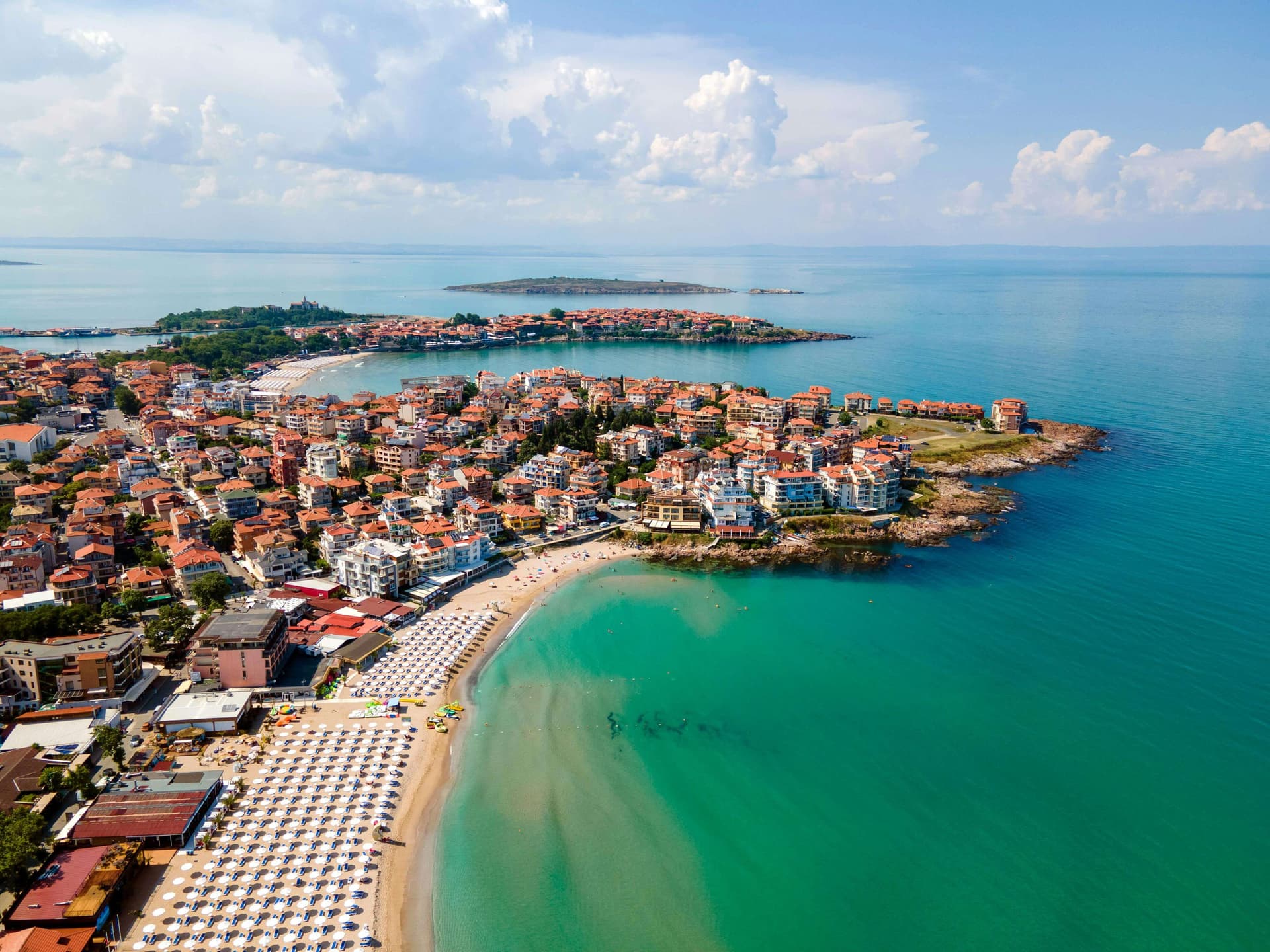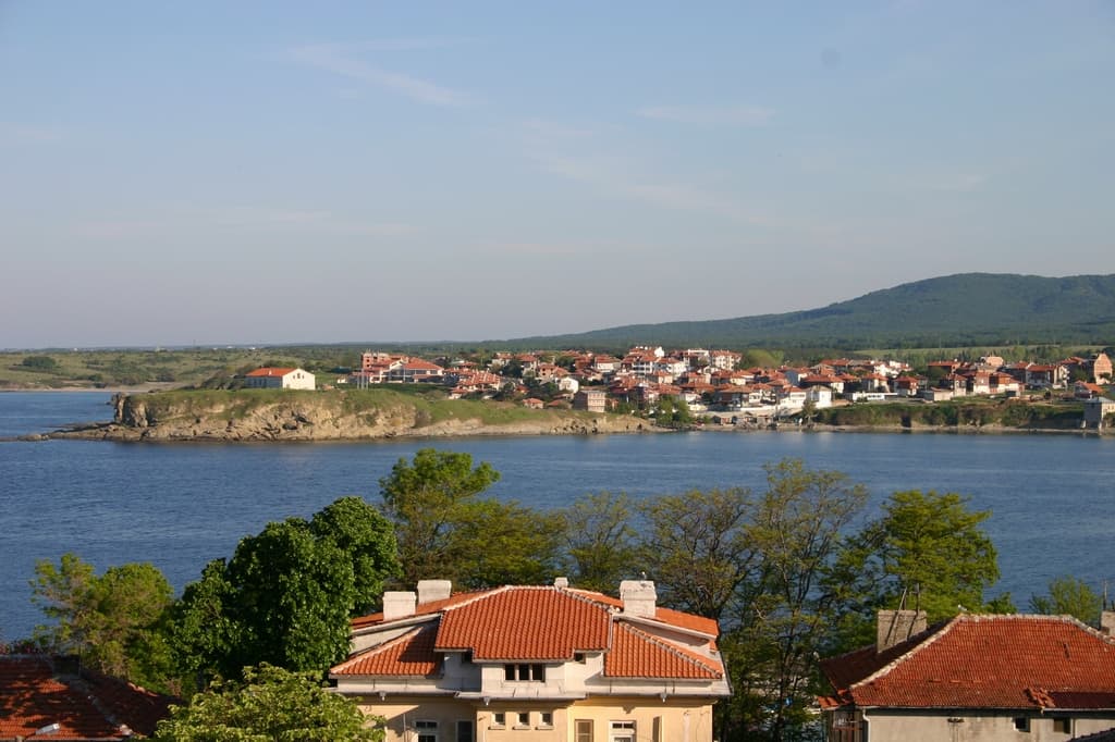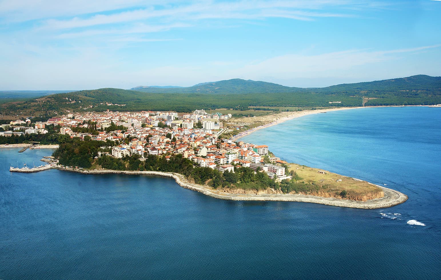
Primorsko is a charming and rapidly growing coastal resort town situated in Southeastern Bulgaria, within the Burgas Province. The town lies in close proximity to the historic seaside centers of Sozopol and Ahtopol, serving as the administrative capital of the Primorsko Municipality. The travel distance to the regional city of Burgas is exactly 50 km. According to official statistical demographics from late 2025, the permanent population of the resort counts 3108 residents.
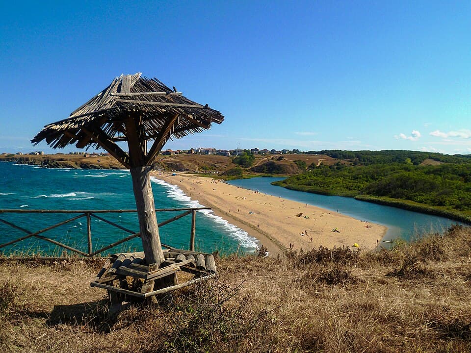
Primorsko occupies a highly scenic geographical position, developed across a rocky peninsula that cuts into the Black Sea between the saline waters of the Stamopolu Lagoon and the Devil's Bay (Djavolski Zaliv). The town is nestled at the very base of the Strandzha Mountain ridges, providing a unique combination of fresh mountain air currents and a mild marine climate. Running alongside the municipality is the second longest continuous sandy beach strip on the entire Bulgarian Black Sea coast, surpassed in scale only by the Kamchia to Shkorpilovtsi beach alignment. The protected territory of the Stamopolu Marsh is also preserved within the municipal borders.
Located in immediate proximity to the town is a pristine wilderness sanctuary, established as a strictly protected nature reserve back in 1940. The Ropotamo Reserve extends along both banks of the Ropotamo River, covering a vast estate of 1000 hectares. It protects ancient dense longos forests, massive coastal sand dunes, and rare wetland flora. The ecosystem incorporates several smaller specialized reserves:
Situated nearby are the Merry Rocks (Veselite Skali), a unique natural terrace covered with enormous rounded boulders. The site offers hikers a spectacular bird's-eye view over the winding twists of the Ropotamo River and the majestic Lion's Head rock formation that towers high above the water canyon.
Begliktash represents one of the most phenomenal archaeological discoveries in Bulgaria, unearthed in 2003. It stands as the oldest known Thracian megalithic sanctuary discovered along the Bulgarian Black Sea coast and across all of Southeastern Thrace. The complex spans 12 decares of land nestled among the forested ridges of Cape Maslen Nos. The sanctuary was created around the 14th century BC (during the late Bronze Age) and remained active without interruption until the 5th century AD, serving as a spiritual destination for Thracians, Greeks, and Romans over different eras.
Architecture and Astronomical Functions of the Megalith:

Burgas region
0.3 km away
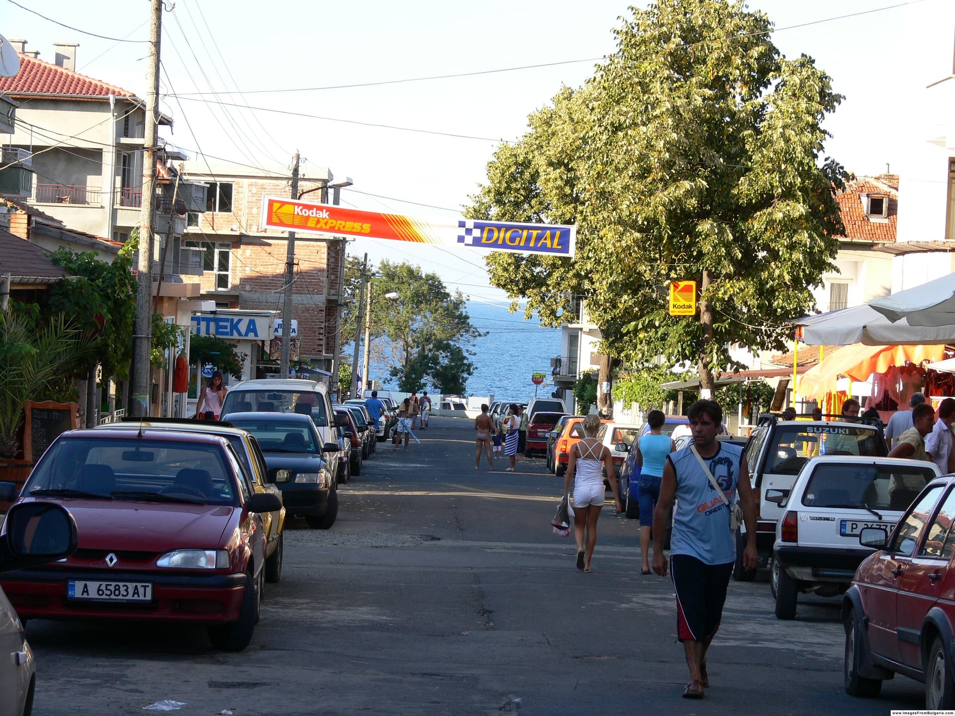
Burgas region
4.3 km away
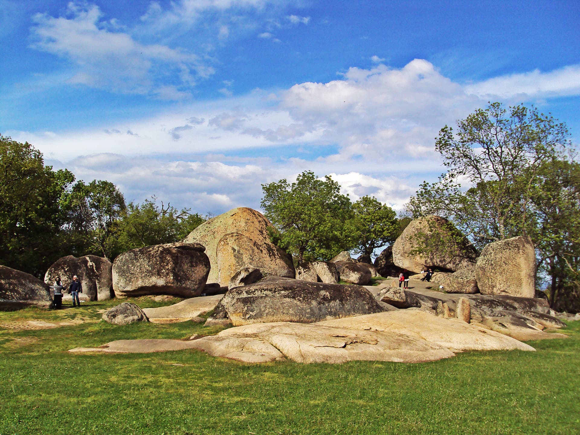
Burgas region
5.3 km away
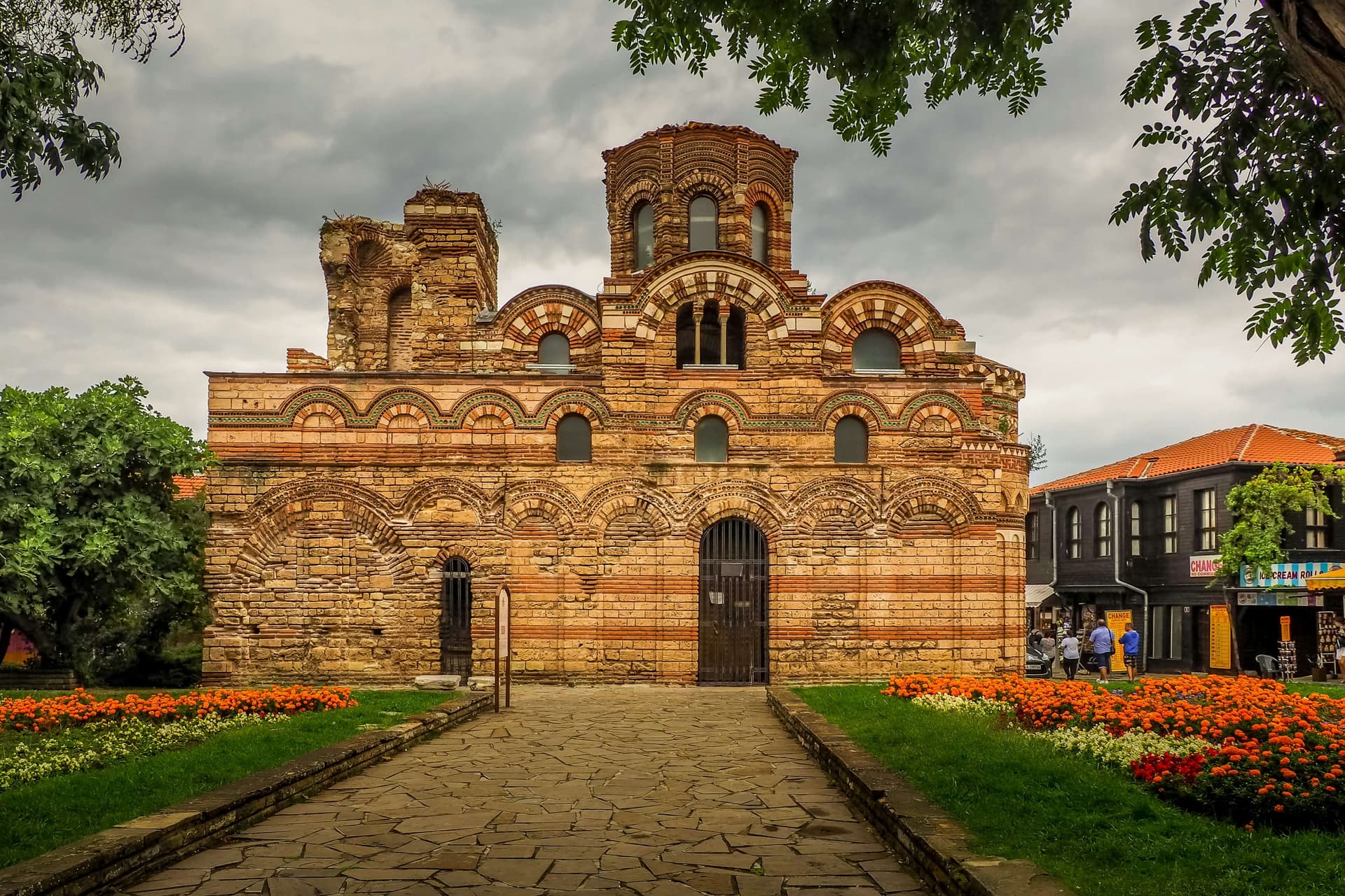
The best day trips from Burgas: Nessebar and Sozopol old towns, the Pomorie salt pans, Ropotamo reserve and Strandzha, with bus and driving tips.
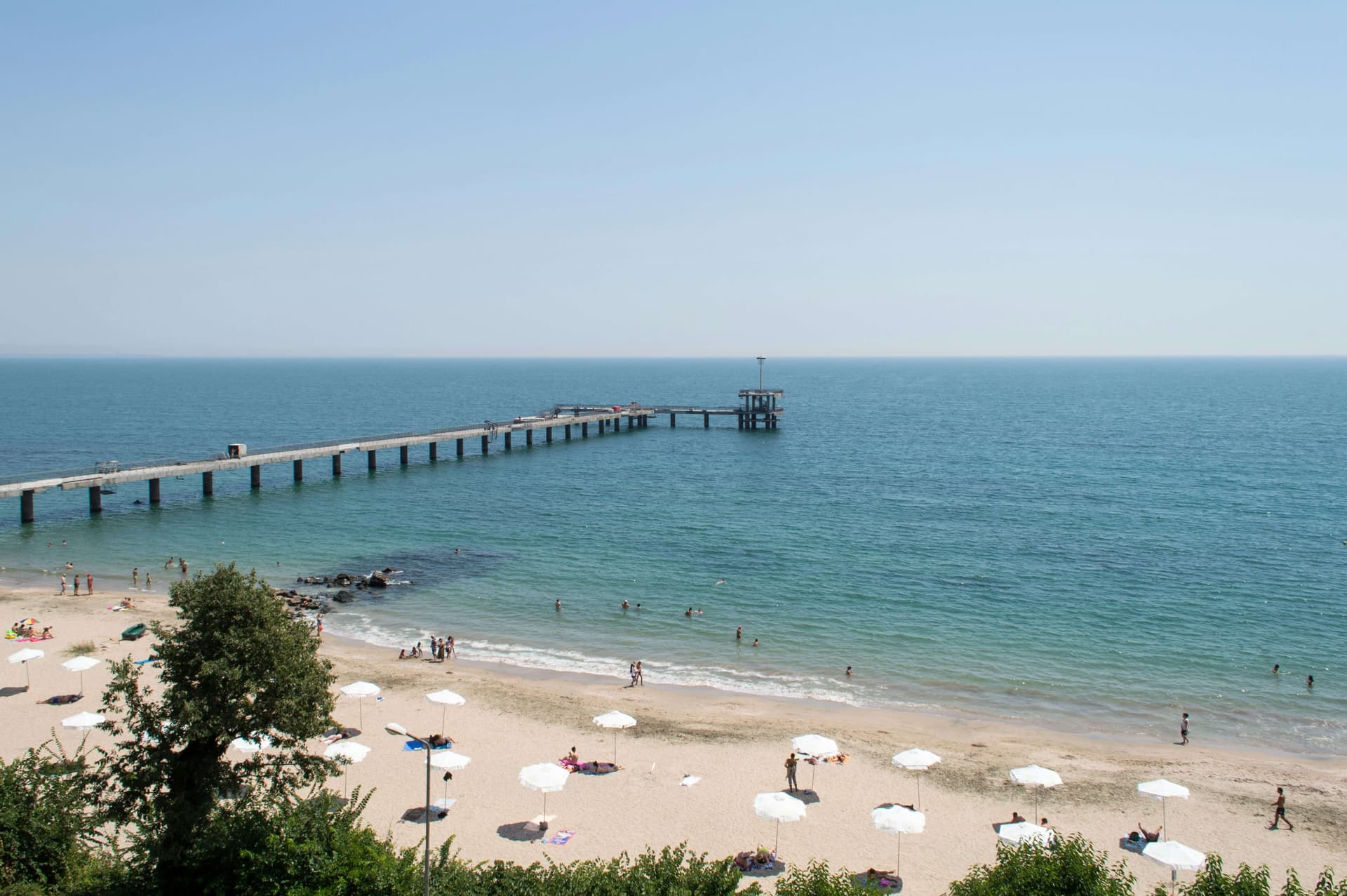
How to get around Burgas without a car: Burgasbus routes, the South and West terminals, buses to Sunny Beach and Nessebar, taxis and bike hire.
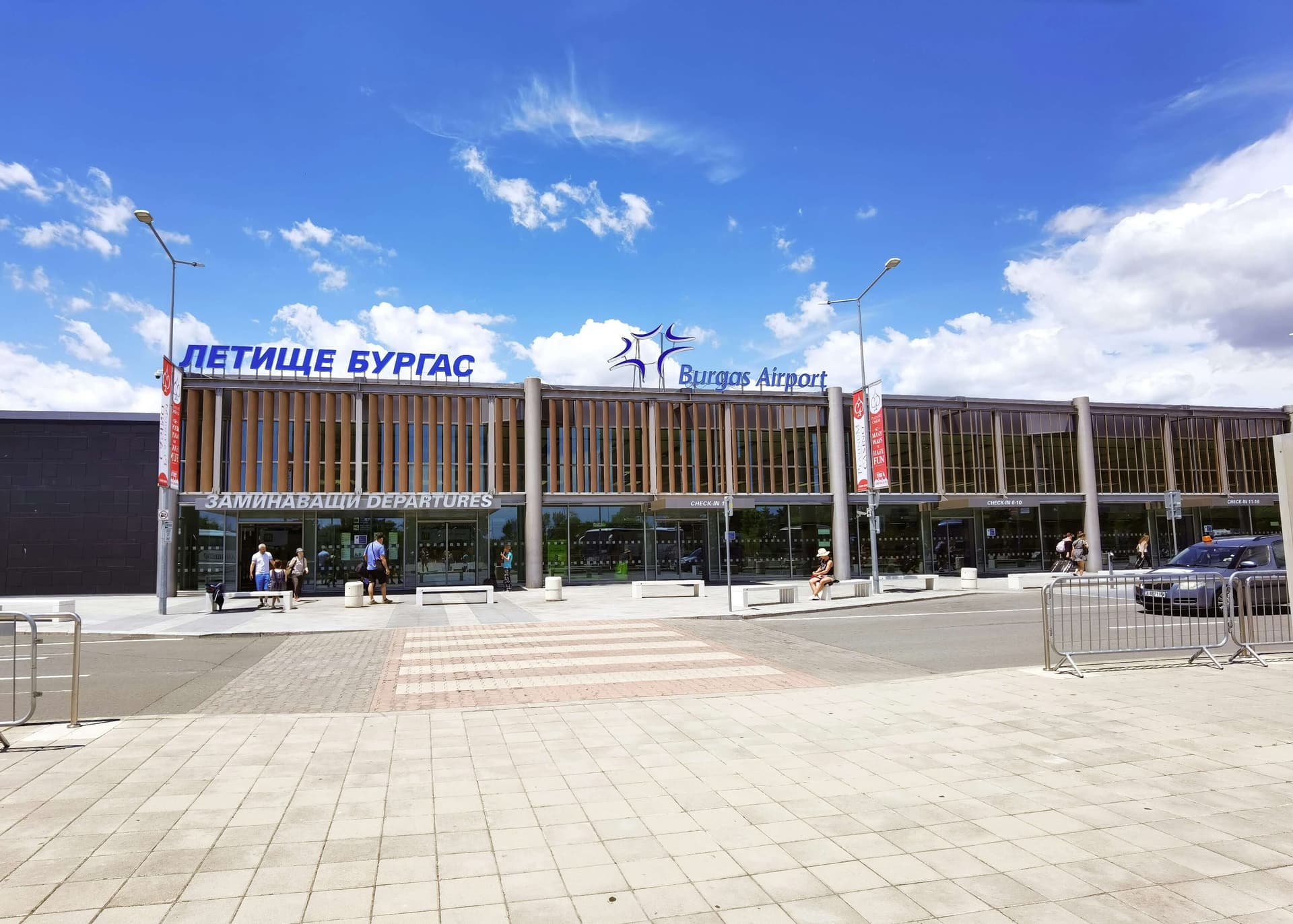
A complete guide to transfers from Burgas Airport (BOJ): Bus No. 15 to the city, direct Bus No. 10 to Sunny Beach and Nessebar, taxis, and fare details.
Primorsko is located in Burgas, Bulgaria.
Primorsko is most easily reached by car. Use the coordinates above to navigate, or open the location in OpenStreetMap or your preferred maps app for turn-by-turn directions. Public transport options vary by region — for remote destinations a rental car gives the most flexibility.
Primorsko can be visited year-round, but late spring (May–June) and early autumn (September–October) offer the most pleasant weather and fewer tourists. Summer is the busiest season; winter is the quietest, with shorter daylight and possible cold weather.
Bulgarian settlements typically reward unhurried walking — historic centres, churches and monasteries, local markets, and family-run restaurants serving regional dishes. Larger towns often have museums and seasonal cultural events. The local tourist information centre is a good first stop for current opening hours and what's on.