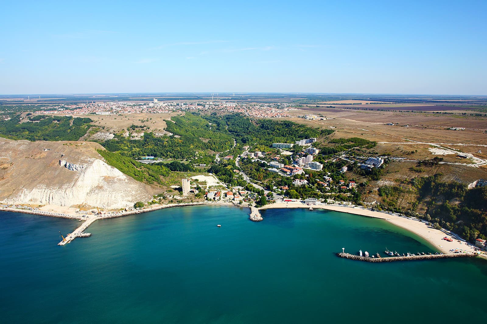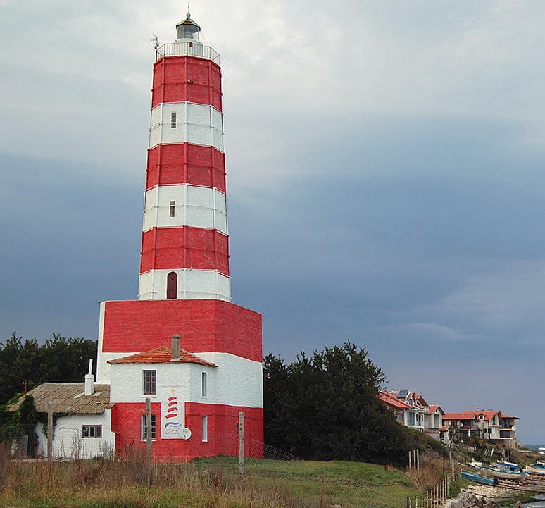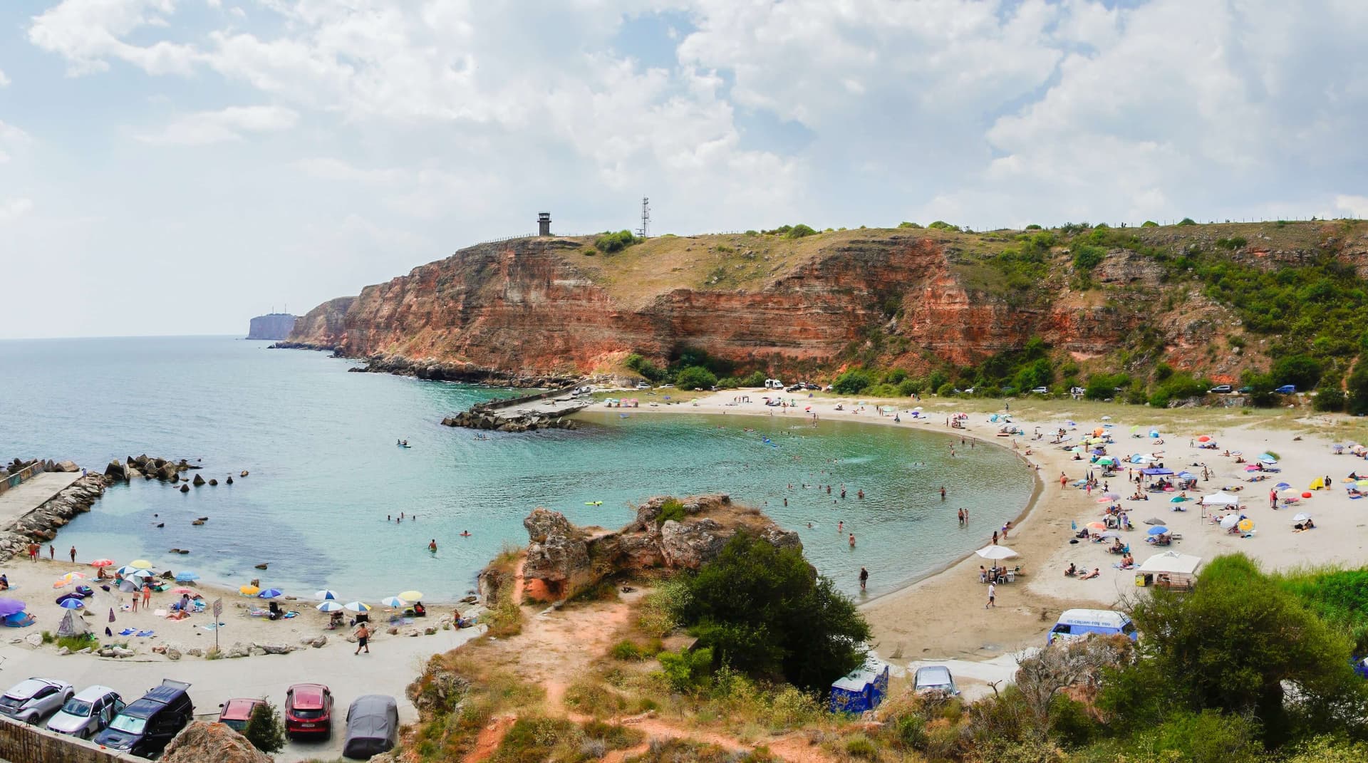
North-East Bulgaria
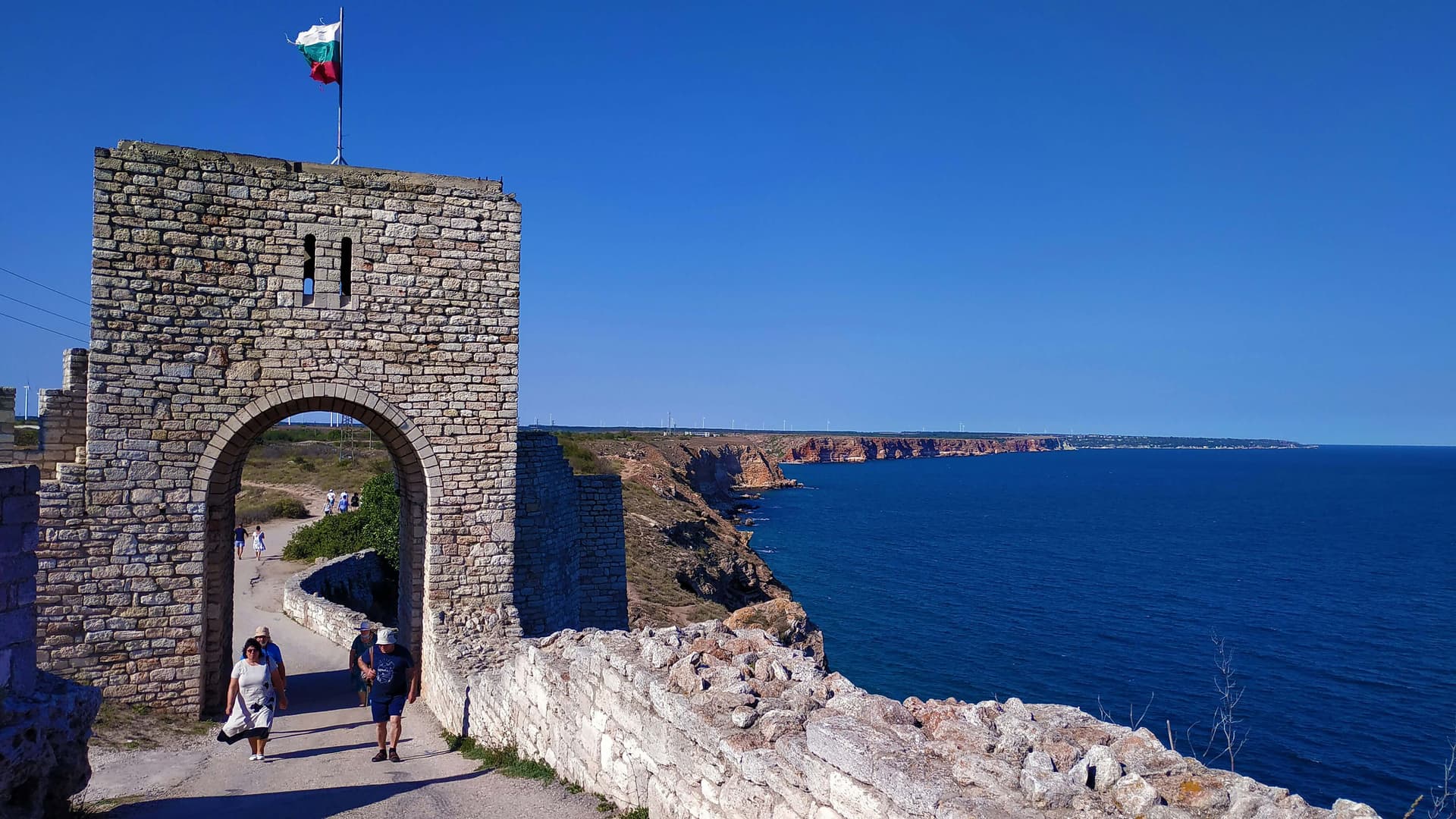
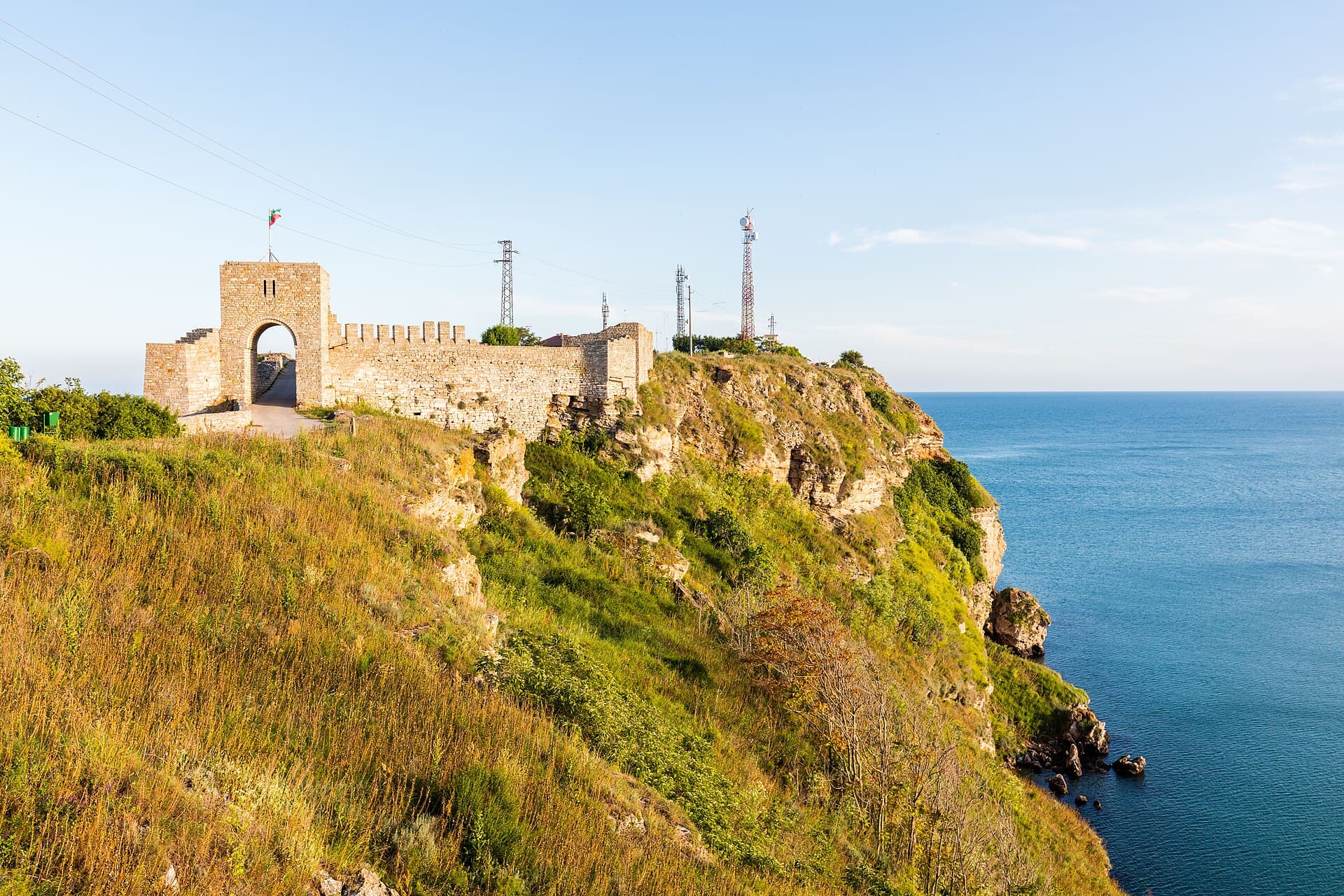
Cape Kaliakra · Wikimedia Commons (CC-BY-SA)
North-East Bulgaria is one of the country's six planning regions and covers the oblasts of Varna, Dobrich, Targovishte, and Shumen. It spans 14,487 km², or 13.05% of the country's territory.
Geography & location
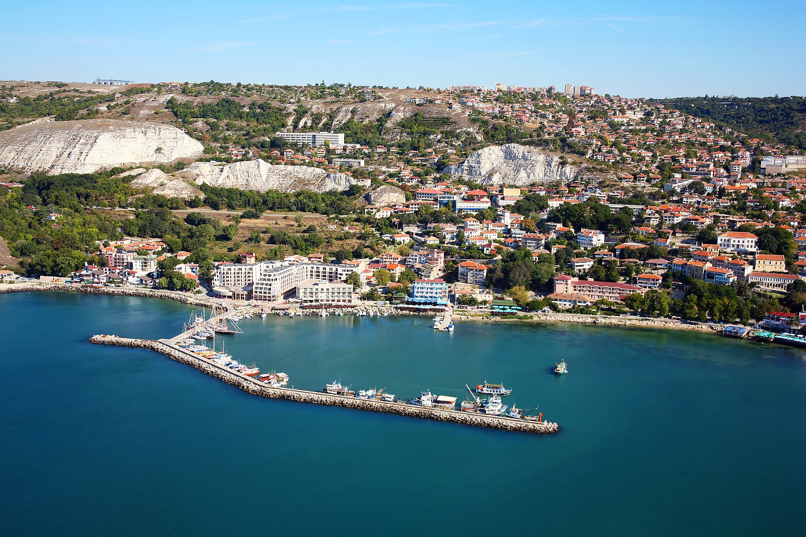
Its position in the north-eastern corner of Bulgaria gives the region a number of advantages over the other northern regions. To the north-east, the regional boundary coincides with the country's land border with Romania, and to the east the region opens onto the Black Sea. To the south it borders the South-East region — the lower Stara Planina is crossed by several passes, while the Luda Kamchia gorge carries the Varna–Karnobat railway, easing connections with southern Bulgaria. To the west and north-west the region borders North-Central Bulgaria.
Climate & natural resources
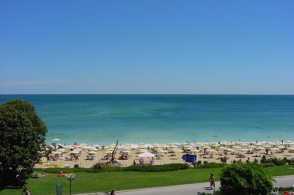
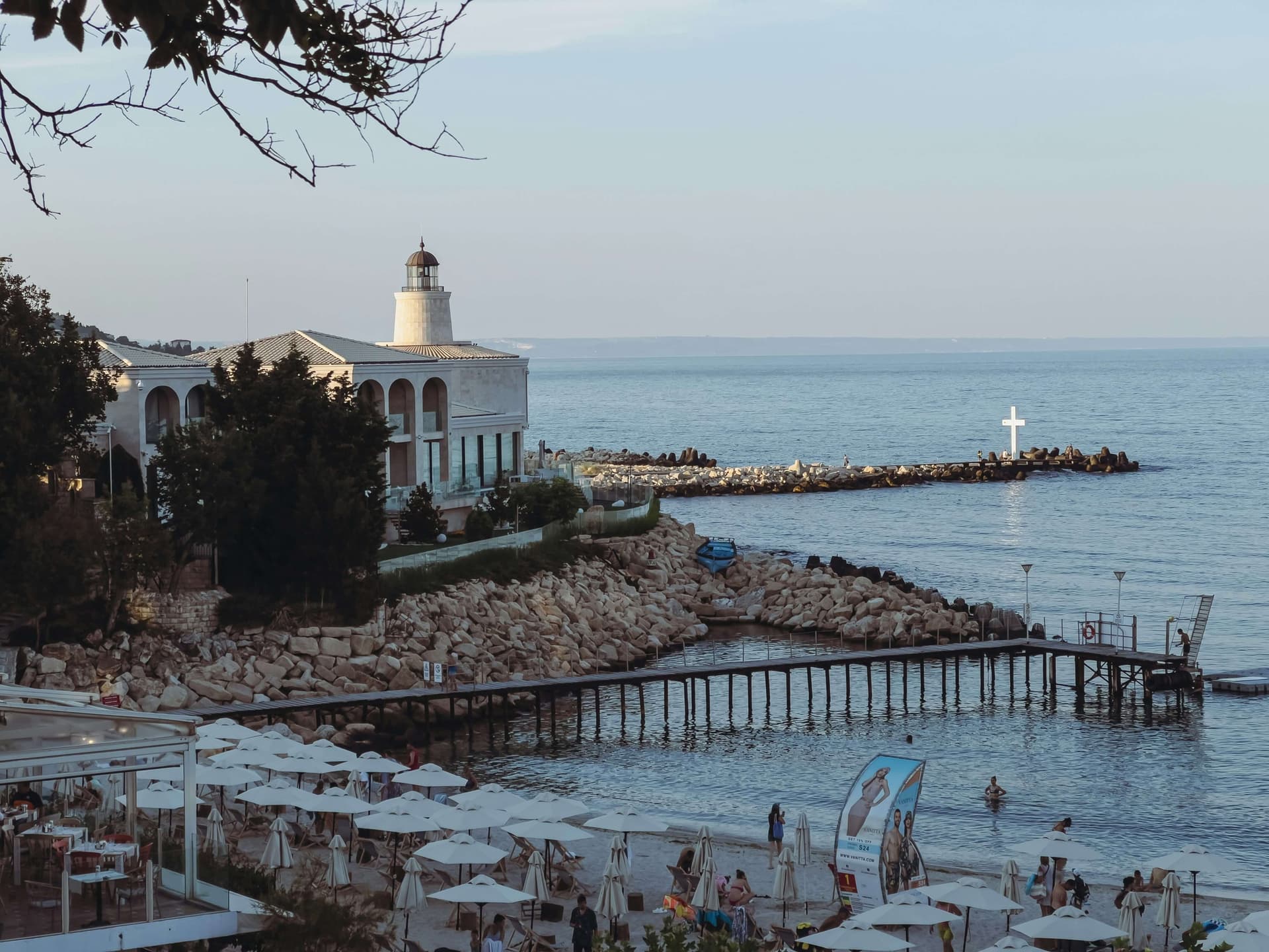
The relief is hilly-plain, with wide flat plateaus that favour agriculture and transport. Coal reserves in the Dobrudzha basin are sizeable but, owing to the difficulty of extraction, play no decisive role in the regional economy. Manganese ore is mined near Obrochishte (Dobrich) and Ignatievo (Varna), while the most important non-metallic raw materials are kaolin at Kaolinovo, rock salt at Provadia, and limestones, clays, and quartz sand at Beloslav — feedstocks for the porcelain, glass, and cement industries. Agro-climatic and recreational resources support both agriculture and tourism, with cereal production particularly well developed.
Rivers & water resources
The region is poor in water, with overall low surface runoff. The most important rivers are the Provadiyska and the Kamchia, whose catchments host the Ticha and Kamchia reservoirs among others. The Devnya karst springs are used in an integrated way for water supply and industry, while the coastal lakes along the northern shore are tapped for therapeutic mud. Water shortage remains one of the serious economic challenges facing the region.
Soils & farmland
The most extensive soil resource is the fertile chernozem, which covers most of the lowlands. Grey forest soils prevail at higher elevations, and alluvial-meadow soils run along the rivers. Around 60% of the region's land is arable, making North-East Bulgaria one of the country's main grain-producing regions.
Forests
Forest resources are dominated by broadleaf species, but their use is relatively modest — only about 5% of the country's timber comes from this region. Especially valuable are the longoz (riparian flood-plain) forests along the Kamchia and Batova rivers, alongside the protective forest belts of the Dobrudzha plateau, which shield the fertile farmland from erosion and strong winds.
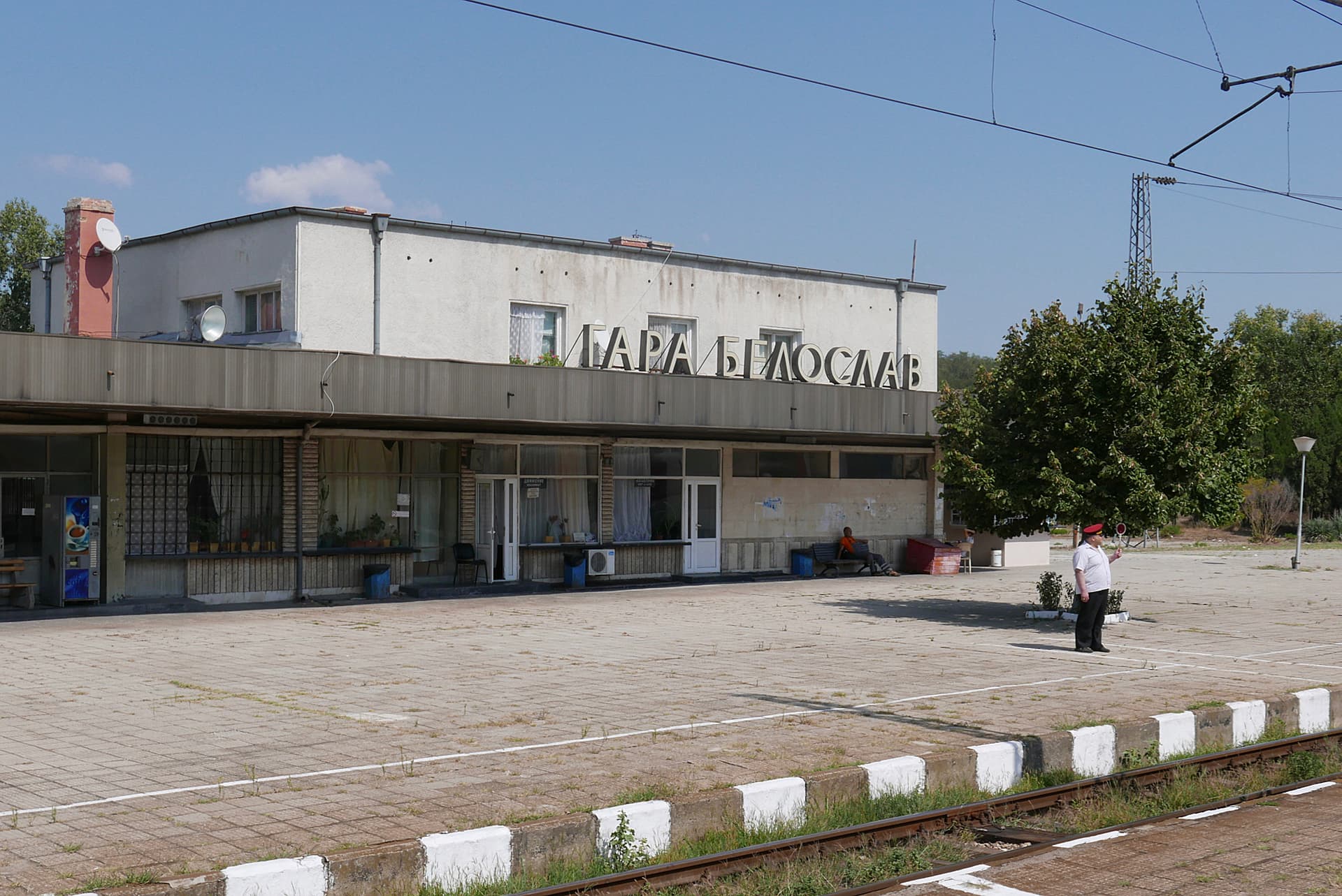
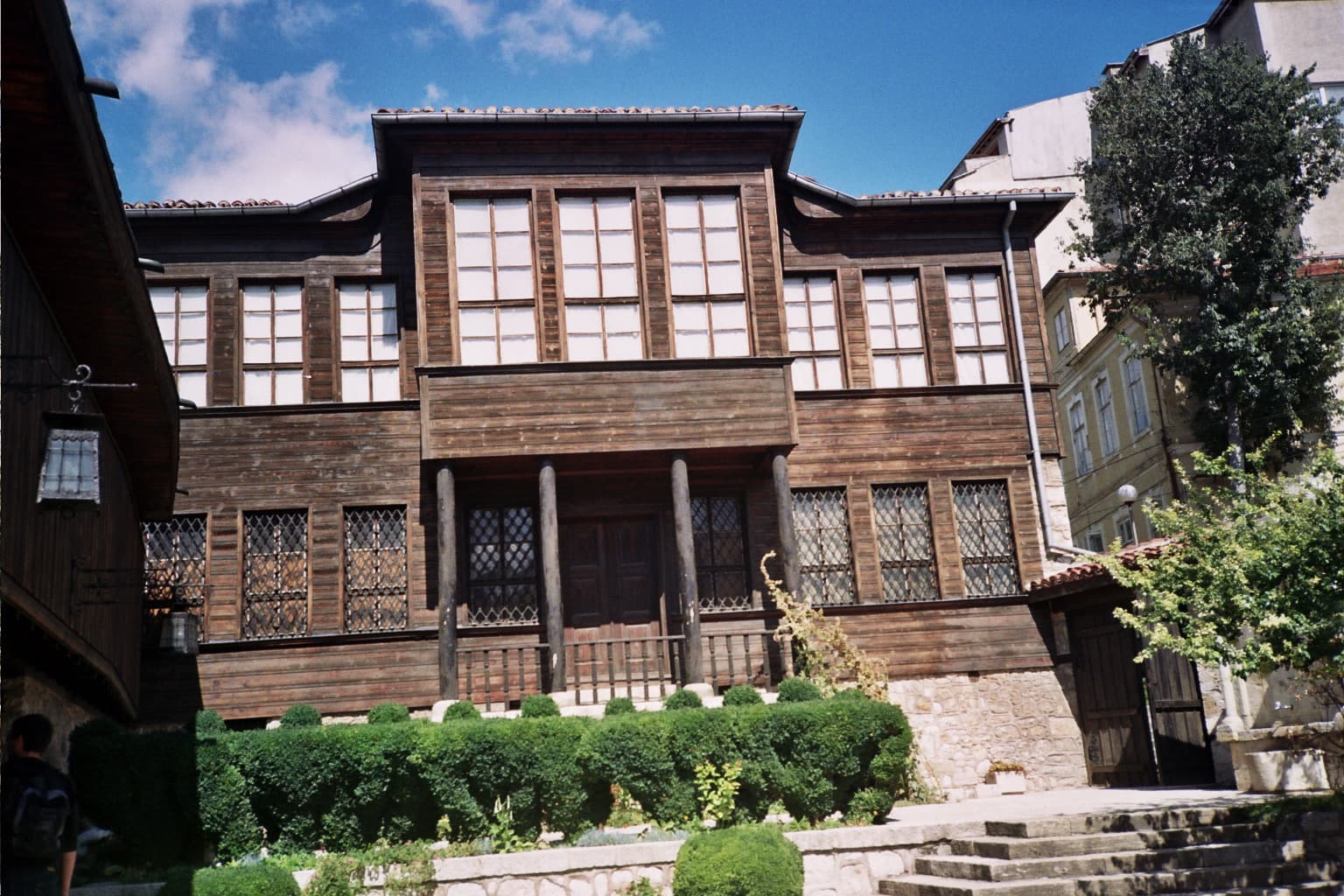
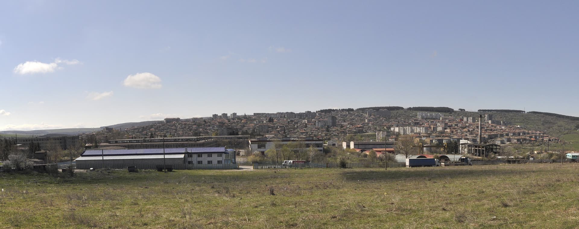
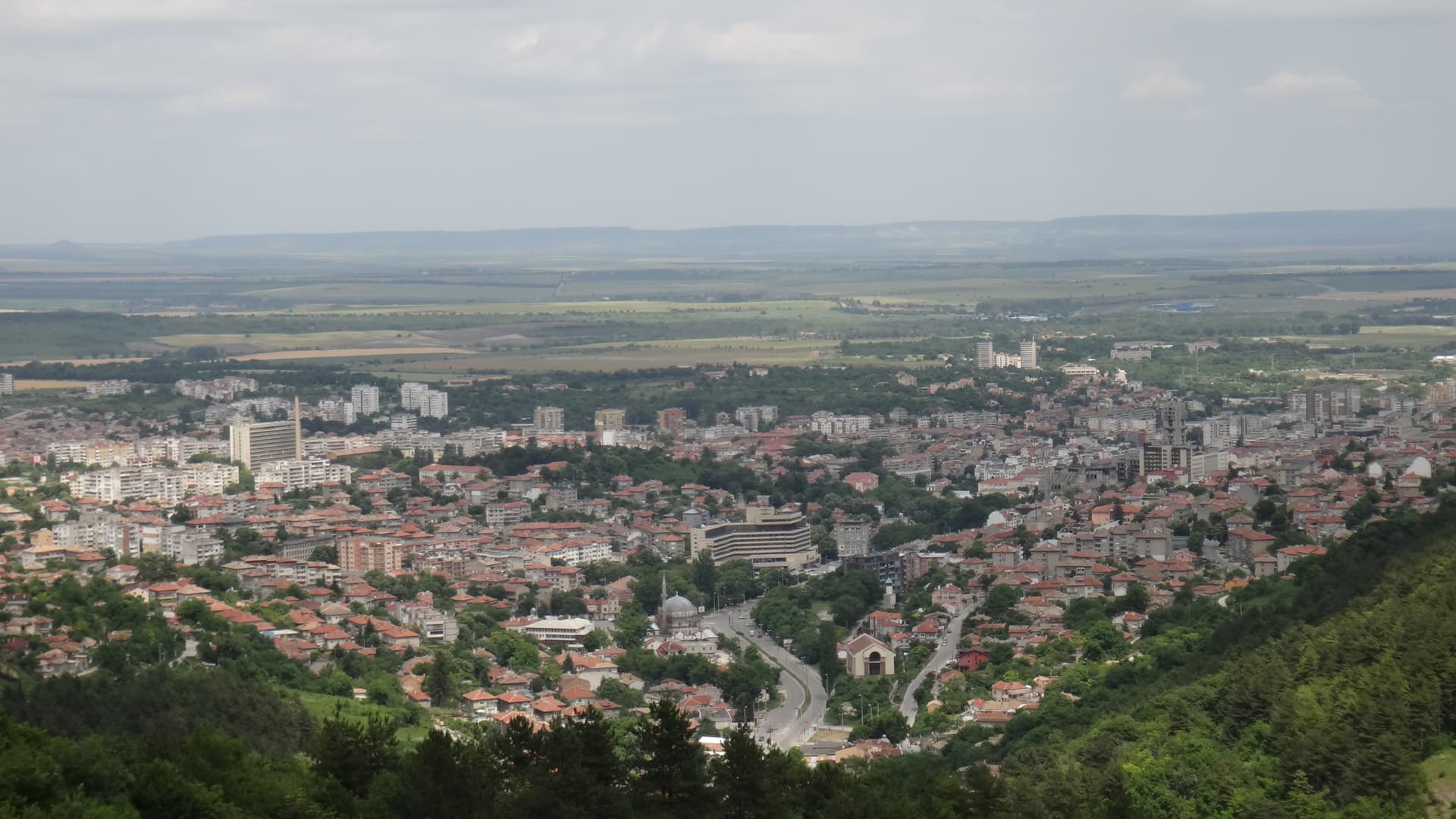
Population & settlements
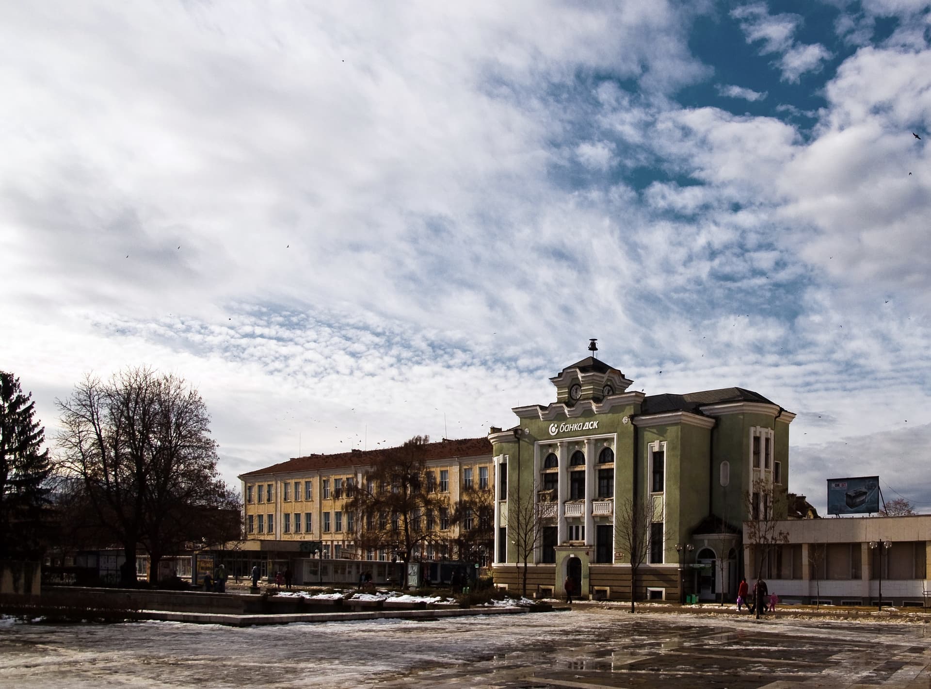
The birth rate in the region is higher than the national average, which softens the otherwise negative natural growth rate. The urban share is high at 72.7%, largely thanks to Varna. The settlement network counts 721 settlements, including 29 cities; small towns and large villages dominate. Only two cities top 100,000 inhabitants — Varna (335,000) and Dobrich (104,000).