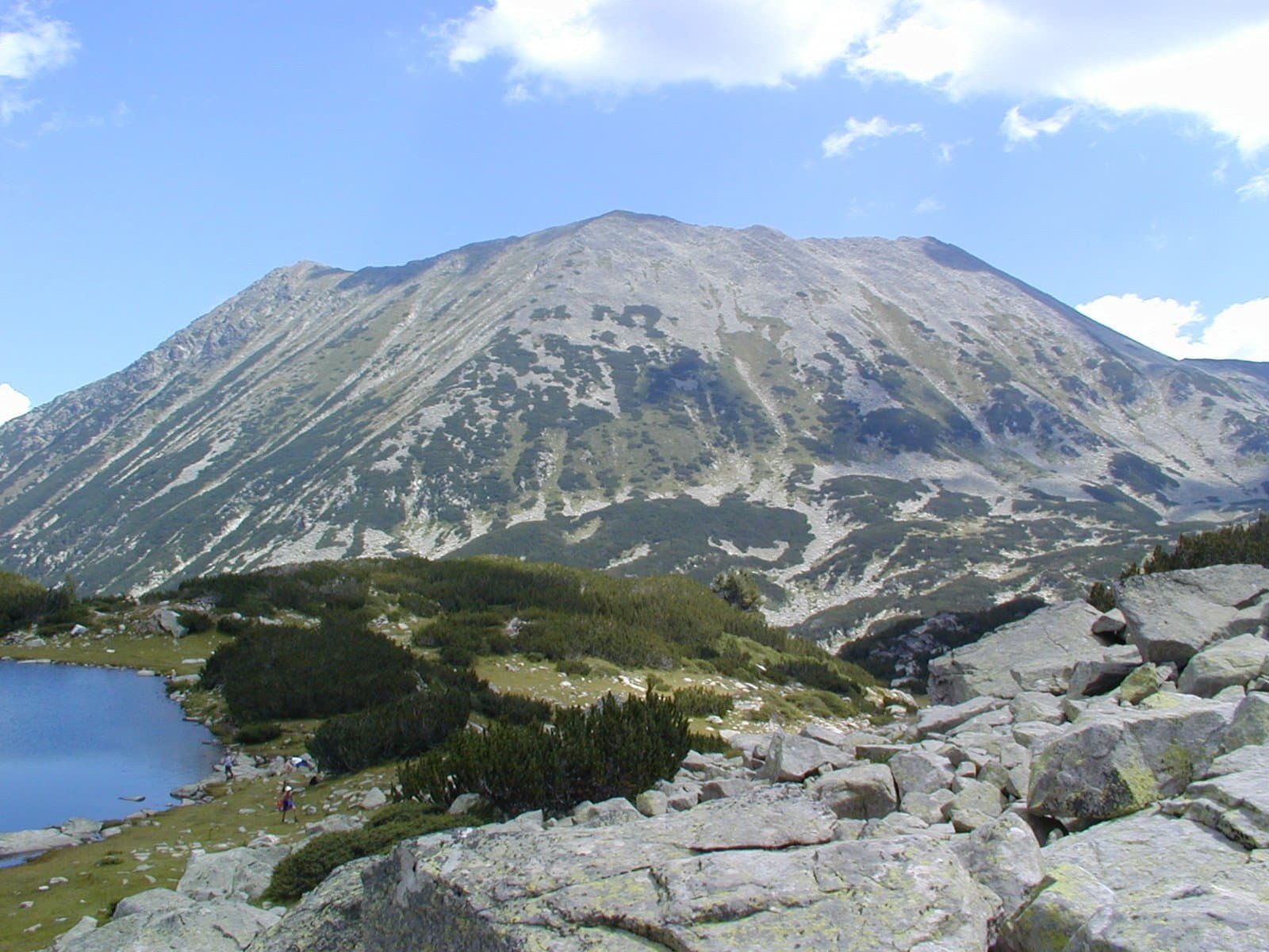
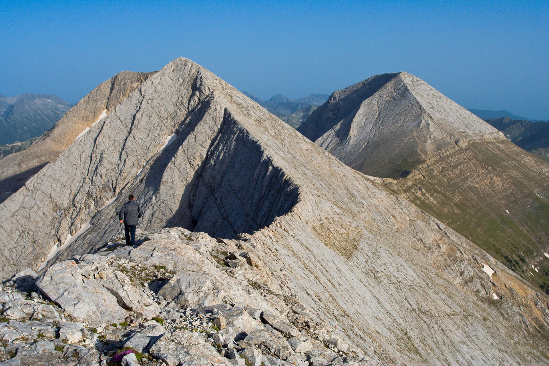
Vihren Peak is the undisputed ruler of the Pirin Mountains and one of the most majestic and magnetic alpine massifs on the Balkan Peninsula. Soaring to a height of 2914 meters, Vihren is the second-highest peak in Bulgaria after Musala in Rila and the third-highest in the Balkans after Mount Olympus in Greece. Situated on the main ridge in the northern section of Pirin, it stands between Kutelo Peak to the northwest and Hvoynati Peak to the southeast, connected to them by the high mountain passes of Premkata and Kabata. Until 1942, the peak was officially named Eltepe, translating to "the peak of storms" — a name still preserved by a small weather shelter located at its foot, built next to a permanent snow patch for scientific observation.
The geological structure of Vihren consists entirely of glittering white marbles. Because marble rock does not retain water, the immediate area around the summit is completely devoid of streams or glacial lakes, with the nearest being the Vlahini Lakes to the southwest. A fascinating feature of Vihren is its shifting shape depending on the direction of approach — viewed from the town of Bansko, it resembles a truncated pyramid, while from the south, it reveals the sharp geometry of a four-sided pyramid. The vegetation along its steep slopes is minimal, limited to alpine grasses and lichens, but the rocky ridge of Dzhamdzhievi Skali is globally famous for its abundance of the rare Edelweiss flower. Wildlife is surprisingly rich, and large herds of wild chamois can frequently be spotted inhabiting the deep glacial cirque of Kazanite below the peak.
As an essential destination for every mountaineer, Vihren is a prominent highlight of the 100 National Tourist Sites and the "Conqueror of the 10 Mountain Peaks" national challenges. Commemorative stamps can be collected at Vihren Hut, Banderitsa Hut, and the Nikola Vaptsarov Museum in Bansko. During the winter season, all approaches to this alpine giant are highly prone to avalanches and require professional winter gear and expert mountaineering experience.
Several classic and alpine trails approach the summit during the summer months:

Blagoevgrad region
0.6 km away
Blagoevgrad region
1.1 km away
Blagoevgrad region
1.2 km away

Blagoevgrad region
1.7 km away
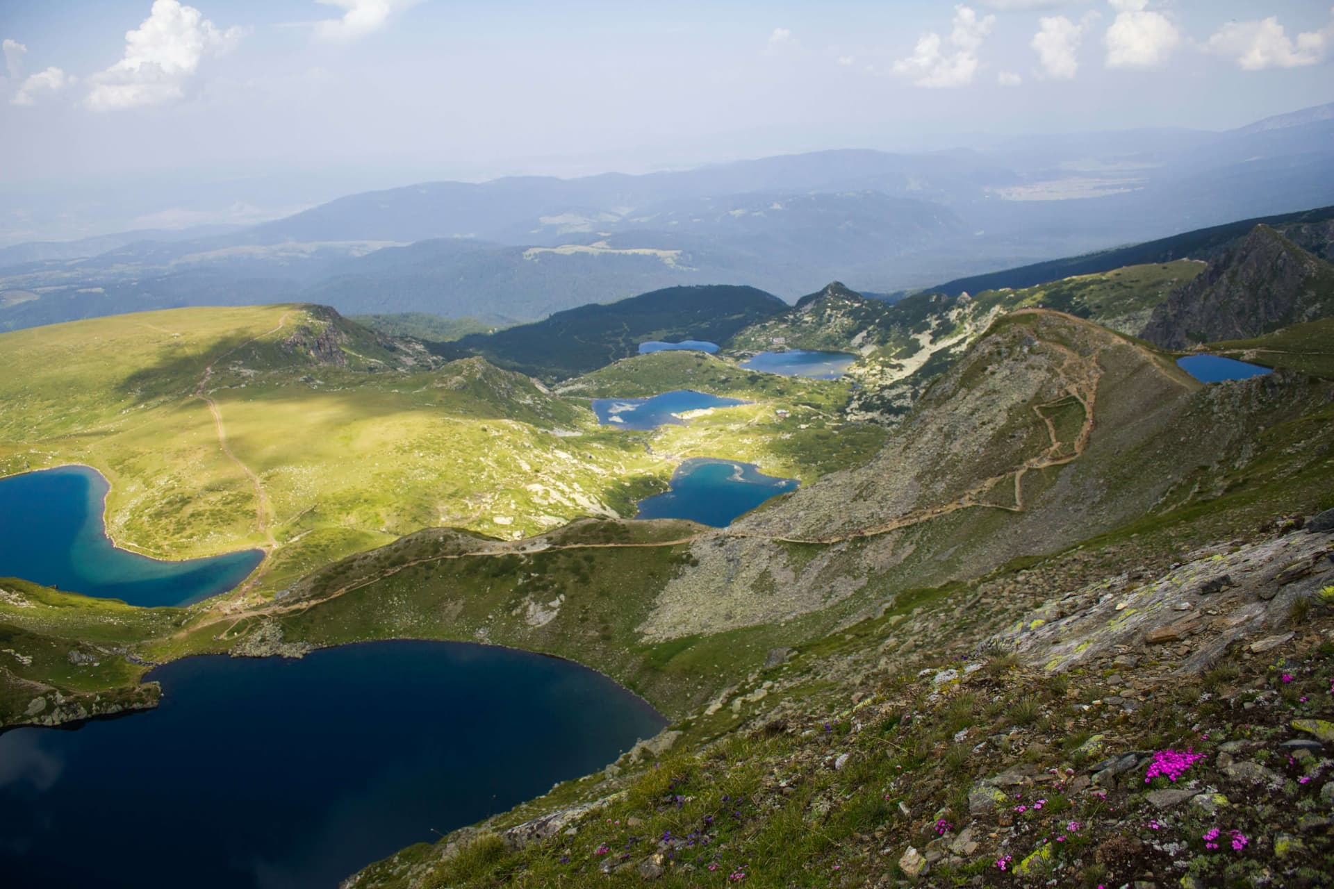
A guide to Bulgaria's three national parks and eleven nature parks — Rila, Pirin, Central Balkan, Vitosha, Vrachanski Balkan, Strandzha, Persina and the rest — what the categories mean and which to visit.
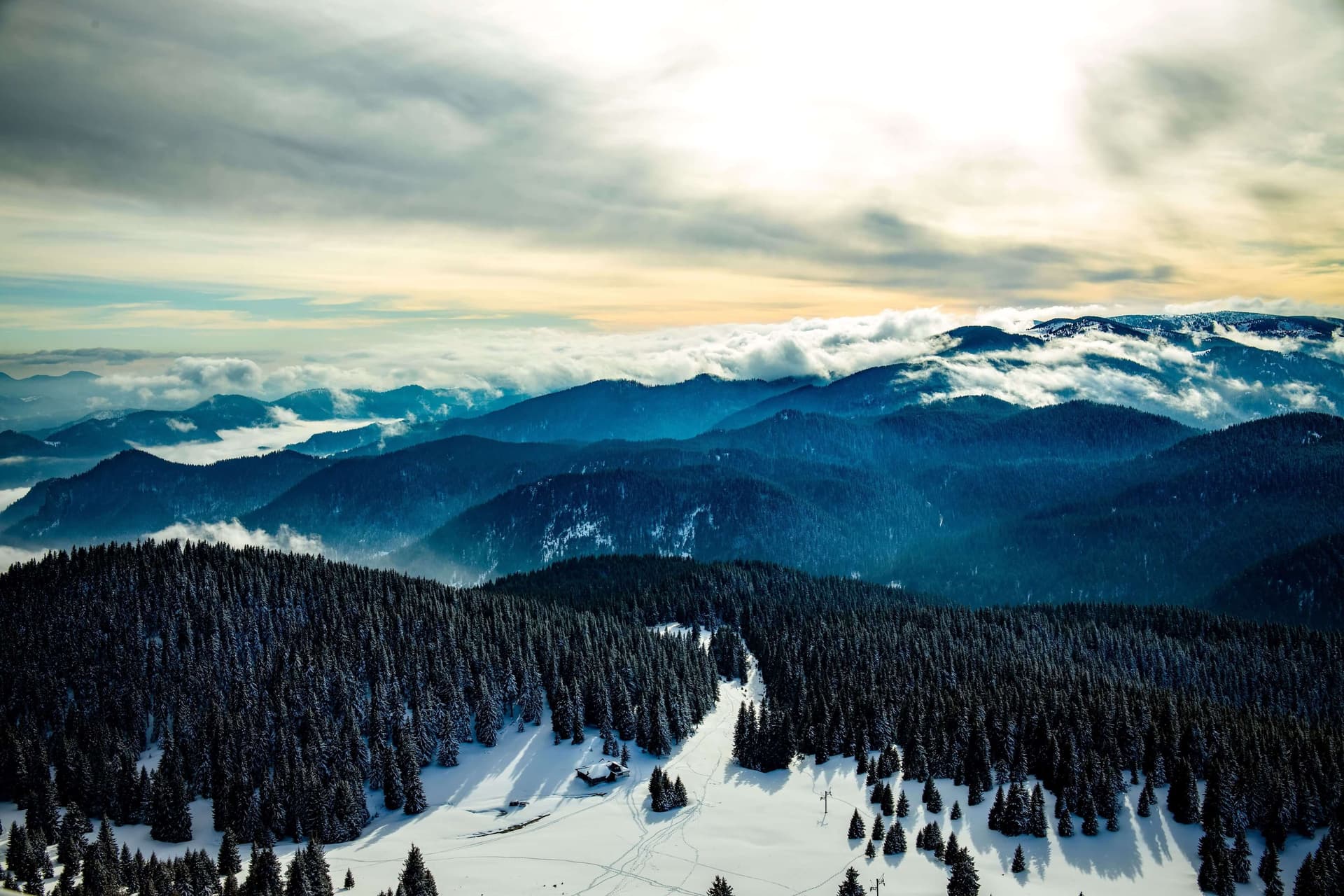
Which Bulgarian network to pick, whether you need a SIM at all as an EU visitor, eSIM options, passport rules, and where coverage actually drops.
The highest peak of every major Bulgarian mountain — Musala, Vihren, Botev and more, with elevations, difficulty, base towns and how to climb each.
Vihren peak is located in Blagoevgrad, Bulgaria.
Vihren peak is most easily reached by car. Use the coordinates above to navigate, or open the location in OpenStreetMap or your preferred maps app for turn-by-turn directions. Public transport options vary by region — for remote destinations a rental car gives the most flexibility.
Late spring through early autumn (May–September) is best for Vihren peak, when trails are clear of snow and weather is most stable. Higher peaks may hold snow into June and see fresh snow as early as October. Winter visits are for experienced mountaineers with proper gear.
Vihren peak reaches an elevation of 2,914 metres above sea level.
Hiking boots, layered clothing, water (1.5–2 L per person), sun protection, and a windproof jacket — mountain weather changes quickly. For longer routes also bring a map (paper or offline), a head torch, and emergency rations. Tell someone your planned route and expected return time.