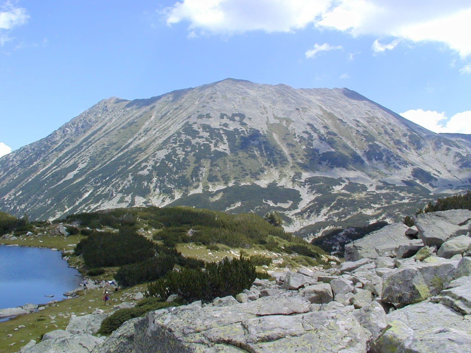
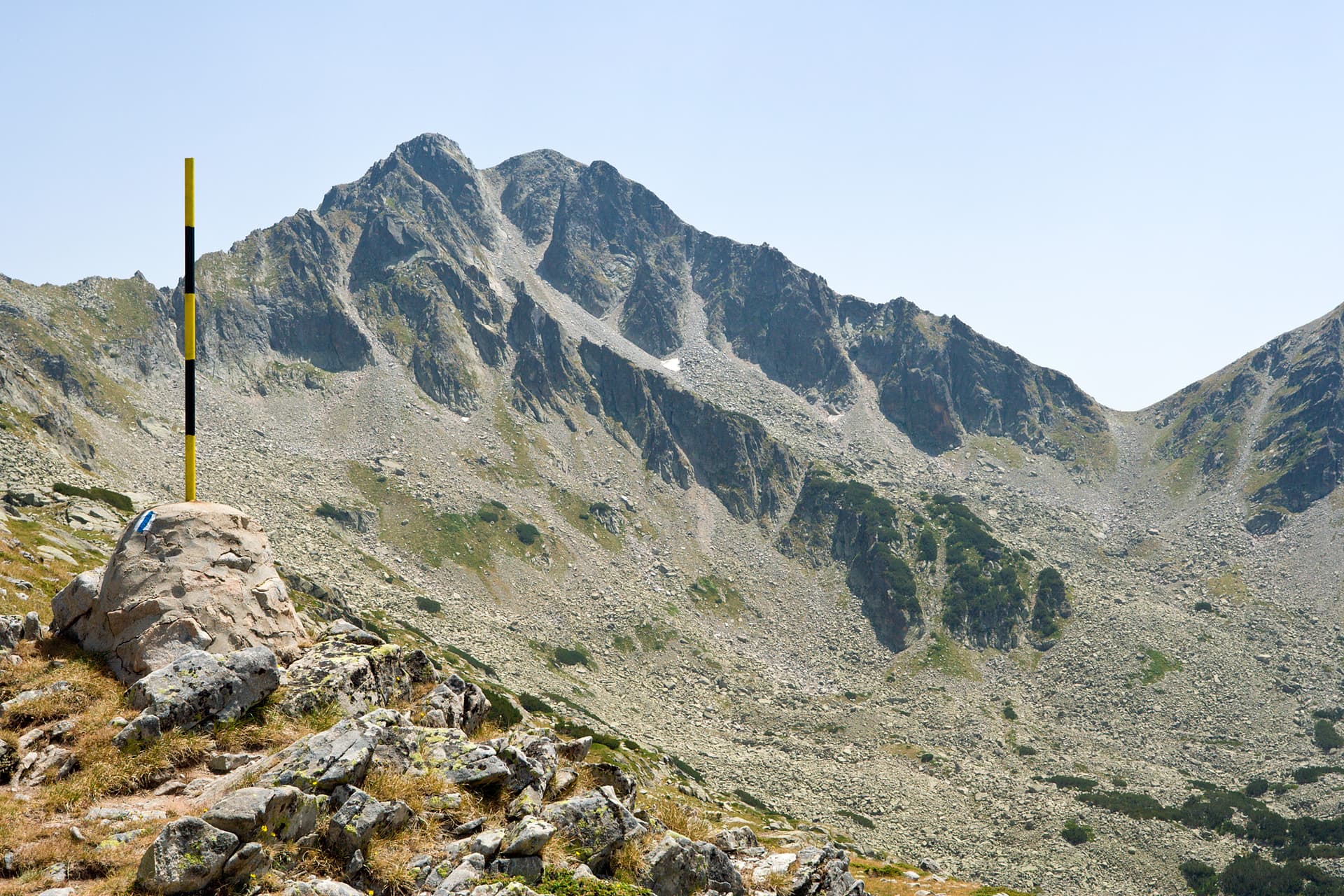
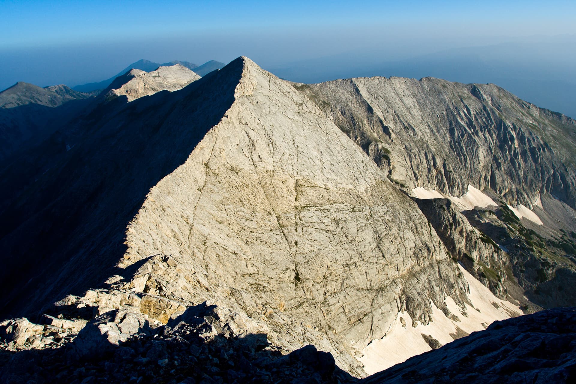
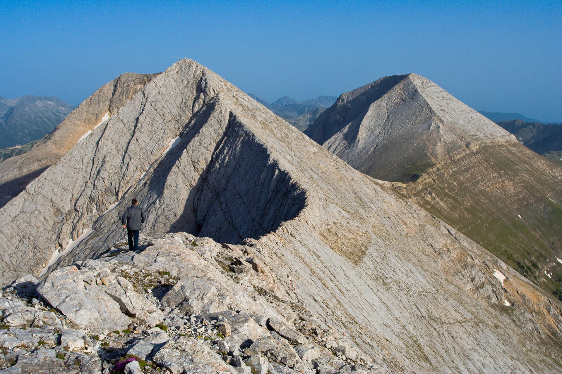
The "Koncheto" (The Little Horse) rock ridge is one of the most iconic, adrenaline-fueled, and magnetic alpine destinations in the Pirin Mountains and across Bulgaria. This formidable, razor-thin saddle connects the second and third highest peaks in the Pirin range — Kutelo (2908 m) and Banski Suhodol (2886 m). The historical name echoes the physical experience of crossing it: in the past, before safety modifications, hikers were forced to straddle the narrow marble crest on all fours like riding a horse. Today, a sturdy steel safety cable is anchored along the entire ridge, yet the traverse remains a serious high-altitude undertaking. On one side, the cliff drops vertically for nearly 400 meters down into the Dalboki Suhodol cirque, while the opposite slope is steeply exposed, demanding absolute concentration.
The most popular, shorter, and highly frequented option. The primary trailheads are Vihren Hut and Banderitsa Hut (located a 30–40 minute walk apart from each other). Both chalets are accessible via a paved asphalt mountain road leading up from the town of Bansko.
Note: To prevent overcrowding, local authorities frequently ban civilian vehicles on the road to the huts between 08:00 and 16:00 during high summer. Always check current regional transit restrictions before driving up.
A longer, more peaceful, and highly rewarding trekking alternative. The primary gateway is Yavorov Hut, accessible via an unpaved 8 km dirt logging road (unsuitable for standard low-clearance vehicles). Most hikers choose to spend the night at the chalet before tackling the ridge. Another alternative includes an approach from Zagaza Hut (via a 22 km dirt road), though it is rarely used as a direct gateway to Koncheto.
This is the shortest yet physically engaging standard route to the saddle. The path curves beneath the colossal northern face of Mount Vihren, entering the dramatic glacial cirque of Golemia Kazan (The Big Cauldron). From there, the trail ascends steeply up to the Premkata saddle, which separates Vihren from Kutelo. Leaving Premkata, the path climbs up the slope of Kutelo before branching off midway to skirt around the peak's eastern flank.
Caution: This skirting segment is roughly 500–600 meters long. The trail here becomes exceptionally narrow, covered in loose gravel, and slippery, with absolutely no safety cables or chains installed. Immediately after completing this challenging section, the steel safety cable begins, guiding you directly onto the Koncheto ridge line toward Banski Suhodol.
A route strictly tailored for trekkers in prime physical condition. Adding Pirin’s highest summit to the journey infuses a massive amount of early fatigue into your legs. The hike leaves Vihren Hut along the classic southern "Tsar's Trail," leading to a steep 3-hour scramble to the summit.
After standing on top of Mount Vihren (2914 m), a taxing, knee-buckling descent begins down its near-vertical northern face toward the Premkata saddle. This section is very steep but fully secured with fixed metal chains. Upon reaching Premkata, you rejoin the path that skirts around Kutelo to reach the starting link of the Koncheto safety cable.
Blagoevgrad region
0.3 km away
Blagoevgrad region
0.8 km away

Blagoevgrad region
1.1 km away
Blagoevgrad region
1.7 km away

The highest peak of every major Bulgarian mountain — Musala, Vihren, Botev and more, with elevations, difficulty, base towns and how to climb each.

How to climb Vihren (2,914 m), Bulgaria's second-highest peak, from Bansko — the route, the fearsome Koncheto ridge, huts, season and what to pack.
Koncheto is located in Blagoevgrad, Bulgaria.
Koncheto is most easily reached by car. Use the coordinates above to navigate, or open the location in OpenStreetMap or your preferred maps app for turn-by-turn directions. Public transport options vary by region — for remote destinations a rental car gives the most flexibility.
Late spring through early autumn (May–September) is best for Koncheto, when trails are clear of snow and weather is most stable. Higher peaks may hold snow into June and see fresh snow as early as October. Winter visits are for experienced mountaineers with proper gear.
Koncheto reaches an elevation of 2,810 metres above sea level.
Hiking boots, layered clothing, water (1.5–2 L per person), sun protection, and a windproof jacket — mountain weather changes quickly. For longer routes also bring a map (paper or offline), a head torch, and emergency rations. Tell someone your planned route and expected return time.