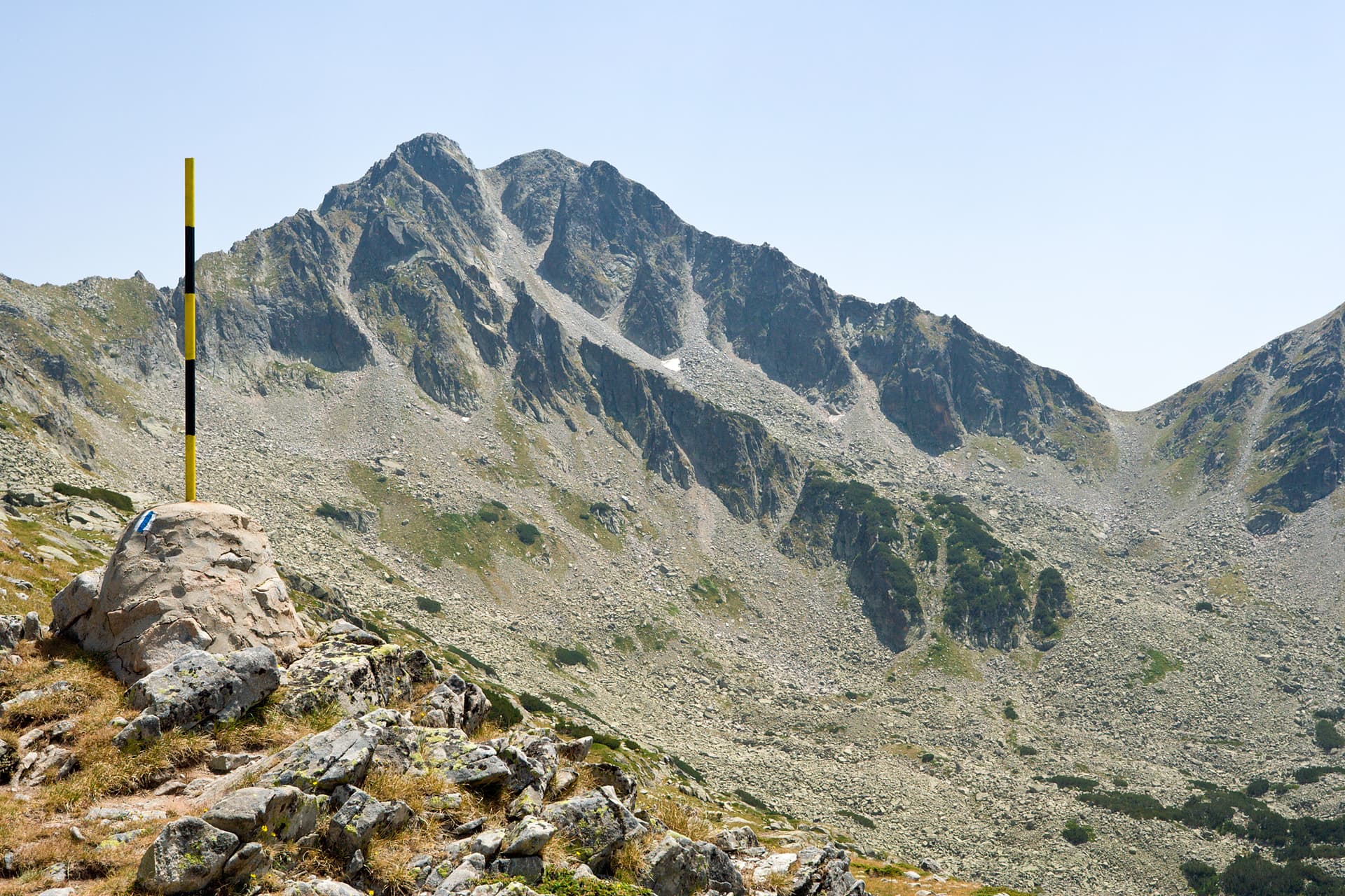
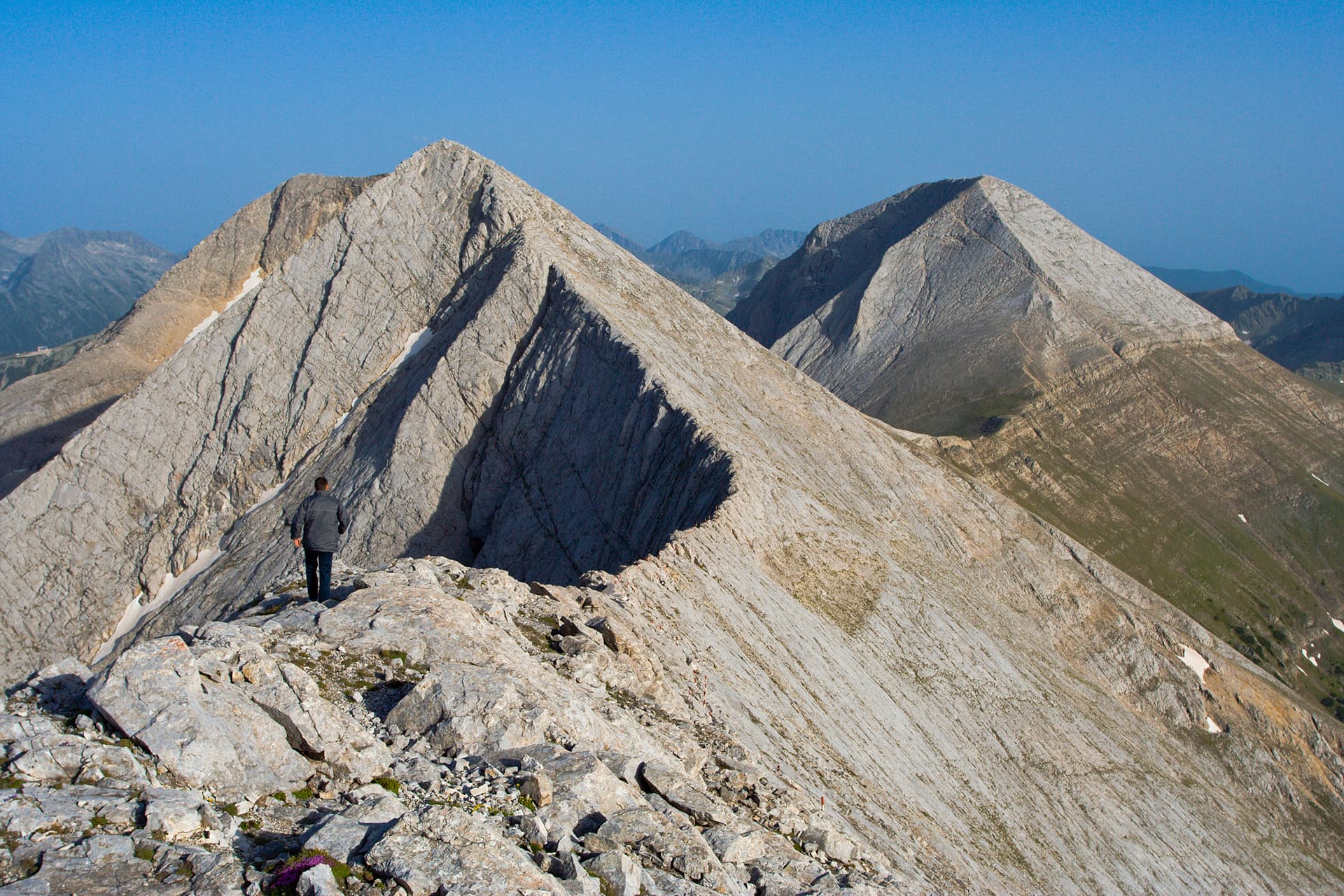
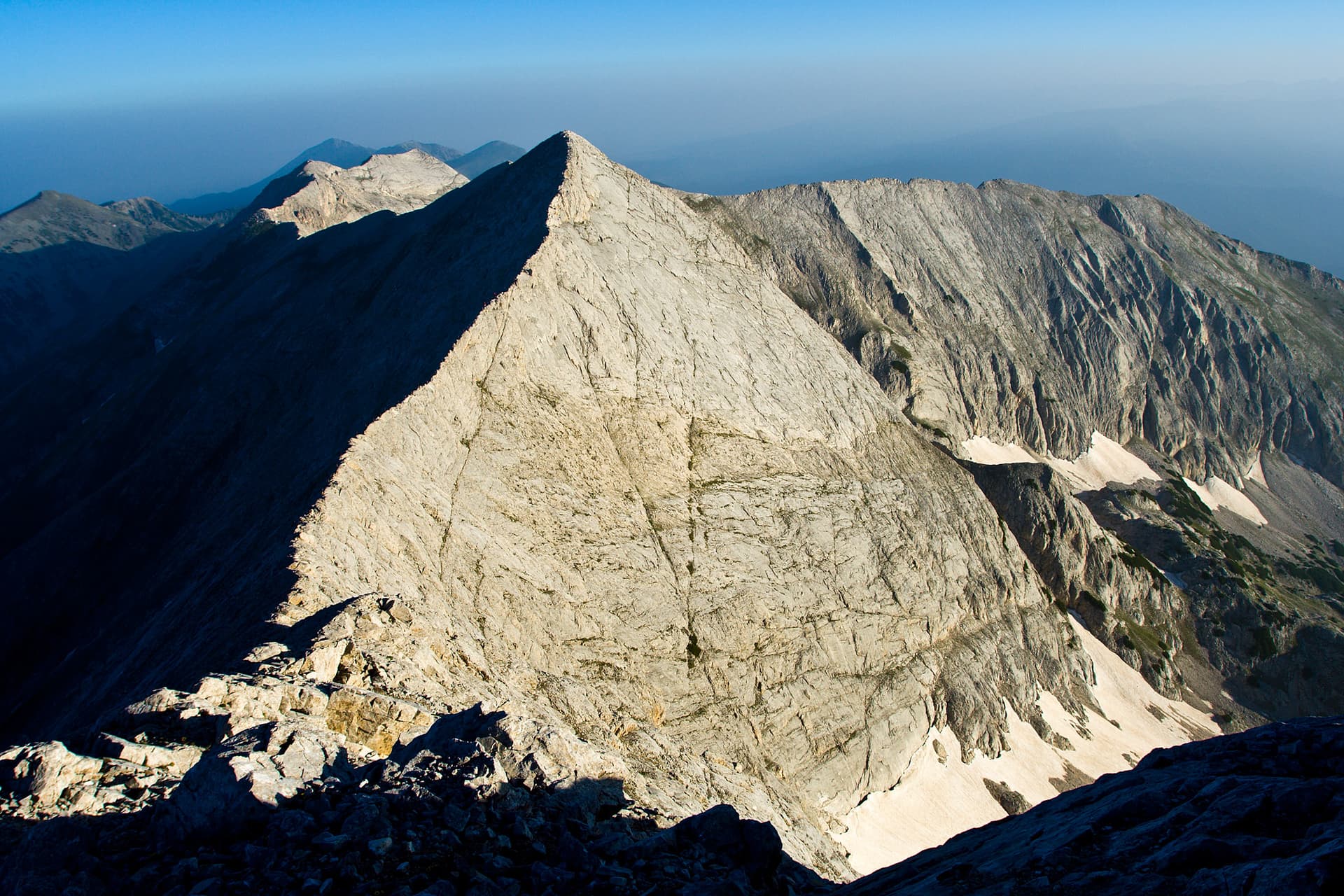
Tsrna Mogila Peak is one of the most enigmatic and least visited summits in the Pirin Mountains. While the official maps place the name on a lower elevation (1976 m), the hiking community recognizes the impressive 2682 m summit as the true Tsrna Mogila. It is famous for its steep rocky western face and its connection to the legendary abandoned ski history of Bansko. Hiking Routes Traverse from Kutelo Peak (Difficult): A strenuous 10–11 hour trek. It involves descending from Kutelo over scree and rocky ridges where the trail is marked only by stone cairns. Navigation is tricky; staying to the right is crucial to avoid getting stuck in the impassable Tsrna Mogila cirque. Via "Akademika" Base (Easier): Starting from Banderishka Polyana, hikers follow the line of the abandoned chairlift. The path is overgrown with dwarf pine (klek), making a GPS essential. From the top station of the lift, the summit is just a 20-minute walk away. The Legend of the Abandoned Lift Built in the early 1980s by the French company Poma, this double chairlift was once a key training facility for the Bulgarian national ski team. The Ski Run: At 4700 meters long, it was one of the longest in the country. However, due to extreme avalanche risk and narrow sections (only 5 meters wide), it was abandoned in 2002. Present Day: The lift remains a ghost-like structure, serving as a landmark for freeriders and adventurous hikers. Practical Information - Transport: Bansko is the main gateway. To reach the town, check the train schedule for Bansko (the scenic narrow-gauge railway) or use the regular bus lines from Sofia. - Safety: This is a high-altitude, non-marked area. Always carry a GPS and be prepared for sudden weather changes. - Starting Point: Banderishka Polyana, accessible via the main gondola from Bansko or by car.
Blagoevgrad
1.0 km away

Blagoevgrad
1.1 km away
Blagoevgrad
1.2 km away

Blagoevgrad
1.5 km away
Tsarna mogila is located in Blagoevgrad, Bulgaria.
Tsarna mogila is most easily reached by car. Use the coordinates above to navigate, or open the location in OpenStreetMap or your preferred maps app for turn-by-turn directions. Public transport options vary by region — for remote destinations a rental car gives the most flexibility.
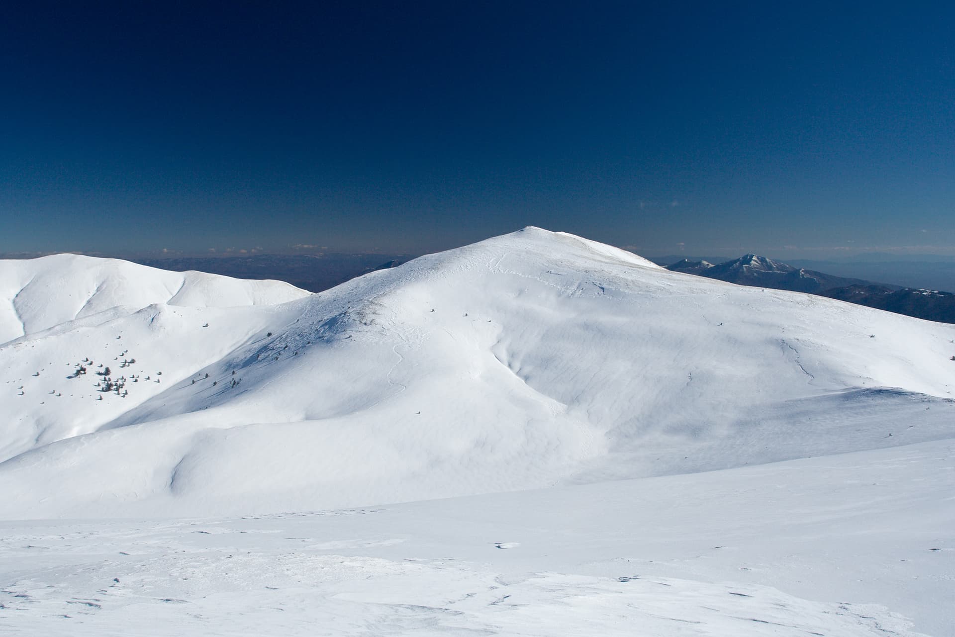
Late spring through early autumn (May–September) is best for Tsarna mogila, when trails are clear of snow and weather is most stable. Higher peaks may hold snow into June and see fresh snow as early as October. Winter visits are for experienced mountaineers with proper gear.
Tsarna mogila reaches an elevation of 2,682 metres above sea level.
Hiking boots, layered clothing, water (1.5–2 L per person), sun protection, and a windproof jacket — mountain weather changes quickly. For longer routes also bring a map (paper or offline), a head torch, and emergency rations. Tell someone your planned route and expected return time.