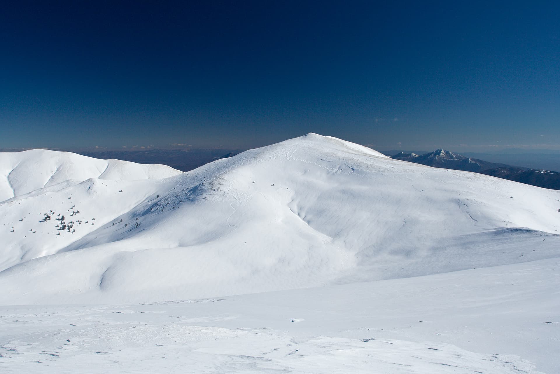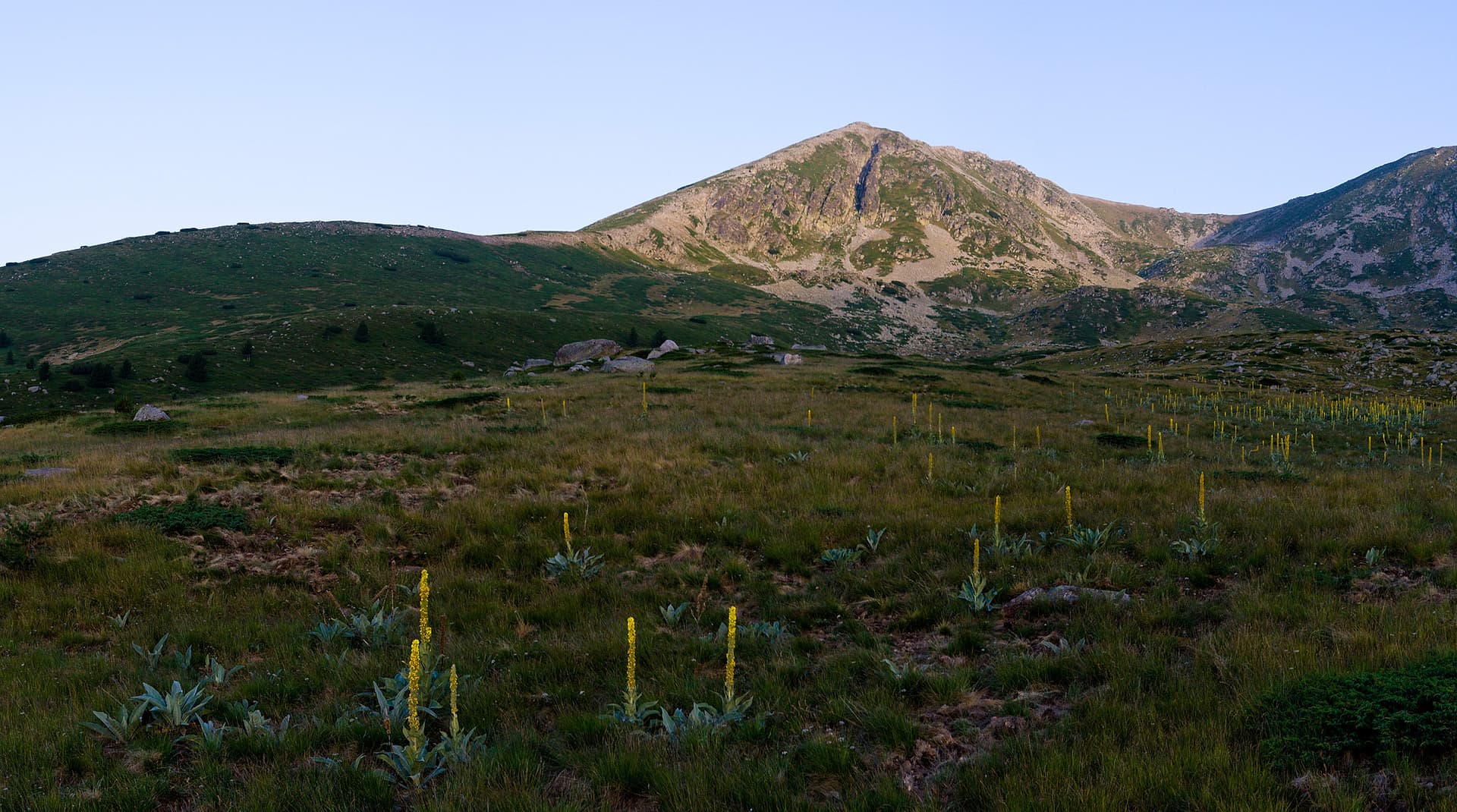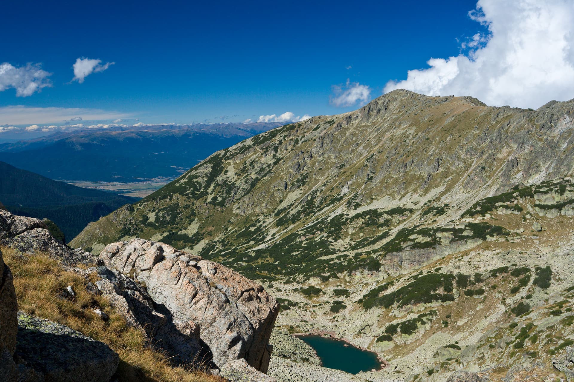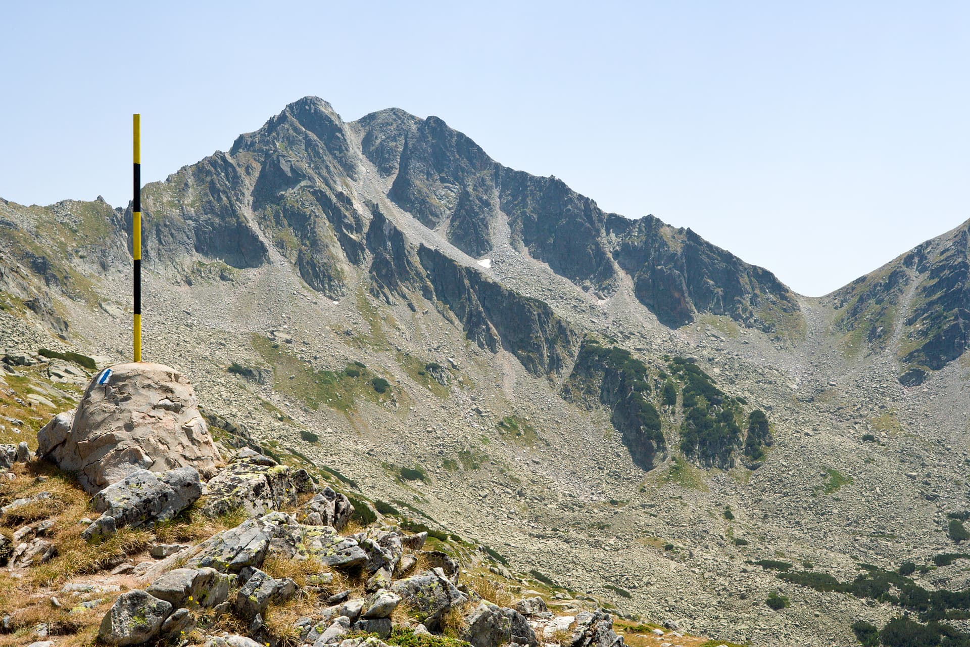
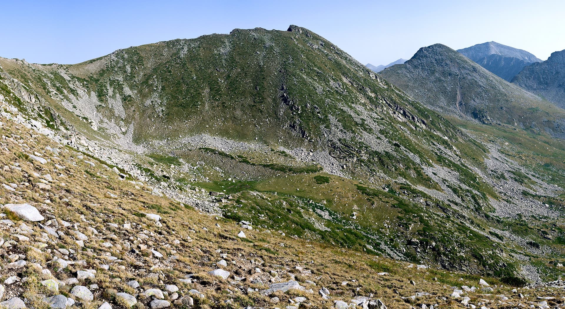
Yalovarnika peak (2763 meters) is one of the most imposing and massive granite summits within the alpine Northern Pirin range. Situated on the iconic Kamenitsa side ridge, its distinct double twin-peak profile cuts a sharp silhouette between two other mountain giants – Kamenitsa and Kuklite peaks. Yalovarnika is a mountain of stark contrasts, plunging into near-vertical, forbidding rock faces to the northwest, while gently rolling down into lush alpine meadows to the southeast. Natural Features and Terrain - The Northwestern Slopes: These faces are nearly vertical, heavily fractured, and severely eroded. Dropping down into the boulder-strewn Begovitsa cirque, they give the peak its true alpine appearance, framed by extensive dry rockfalls at the base. - The Northeastern Slopes: Equally craggy and inaccessible, these rock walls enclose a small inner cirque opening toward the Demirkapiya basin, where the pristine Manenkoto Lake rests at the bottom. - The Southern and Southeastern Slopes: Completely contrasting the northern faces, these gentle terrain features are grassy and blanketed with mountain juniper. They form the northern boundary of the vast Bashmandra cirque, serving as the source for numerous fresh streams feeding the Sredna and Treta rivers. Logistics, Approaches, and Hiking Trails - Base Camps: The most convenient starting locations for an ascent include the Tevno Ezero Shelter, Begovitsa Hut, and Pirin Hut. - The Western Ridge Classic: The summit is most directly accessible via its western ridge from the deep saddle that separates Yalovarnika from Zabat (The Tooth) peak, located to the west-southwest. The gentle southern and southeastern slopes also offer straightforward cross-country hiking without any established trail. - Safe Alternative Trails: For summer hiking, there are two secure routes marked by stone cairns that avoid excessive loss of elevation. One trail passes through the southernmost couloir on the eastern ridge. The other paths branches off about 80 meters east of the main summit, starting with a sharp hairpin turn before descending along steep switchbacks – this route preserves the most altitude. Route Hazards and Mountain Memory - The Ridge Traverse to Kamenitsa: Attempting to cross the main ridge north toward Kamenitsa peak carries severe objective dangers. The two giants are separated by a jagged chain of vertical, loose, and hazardous rock towers (gendarmes). The safe alternative requires descending into the secondary cirque near Manenkoto Lake. - In Memoriam: The unforgiving nature of the Kamenitsa ridge is marked by a tragic piece of history. While navigating these dangerous rock gendarmes in the year 2000, the mountaineer Georgi Elenkov – Zhuzhu lost his life. A memorial plaque dedicated to him can be seen along the main hiking trail leading from Begovitsa Hut to the Tevno Ezero Shelter.

Blagoevgrad
0.6 km away
Blagoevgrad
1.4 km away
Blagoevgrad
1.7 km away
Blagoevgrad
1.7 km away
Yalovarnika is located in Blagoevgrad, Bulgaria.
Yalovarnika is most easily reached by car. Use the coordinates above to navigate, or open the location in OpenStreetMap or your preferred maps app for turn-by-turn directions. Public transport options vary by region — for remote destinations a rental car gives the most flexibility.
Late spring through early autumn (May–September) is best for Yalovarnika, when trails are clear of snow and weather is most stable. Higher peaks may hold snow into June and see fresh snow as early as October. Winter visits are for experienced mountaineers with proper gear.
Yalovarnika reaches an elevation of 2,763 metres above sea level.
Hiking boots, layered clothing, water (1.5–2 L per person), sun protection, and a windproof jacket — mountain weather changes quickly. For longer routes also bring a map (paper or offline), a head torch, and emergency rations. Tell someone your planned route and expected return time.