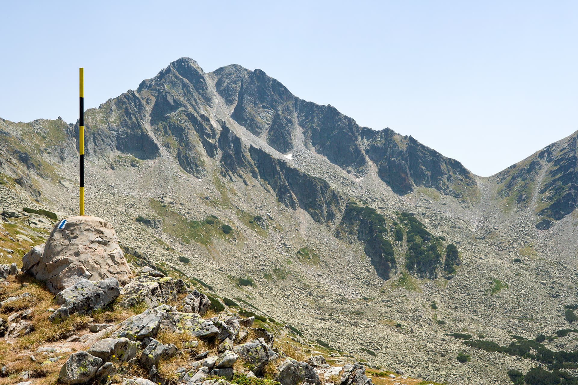
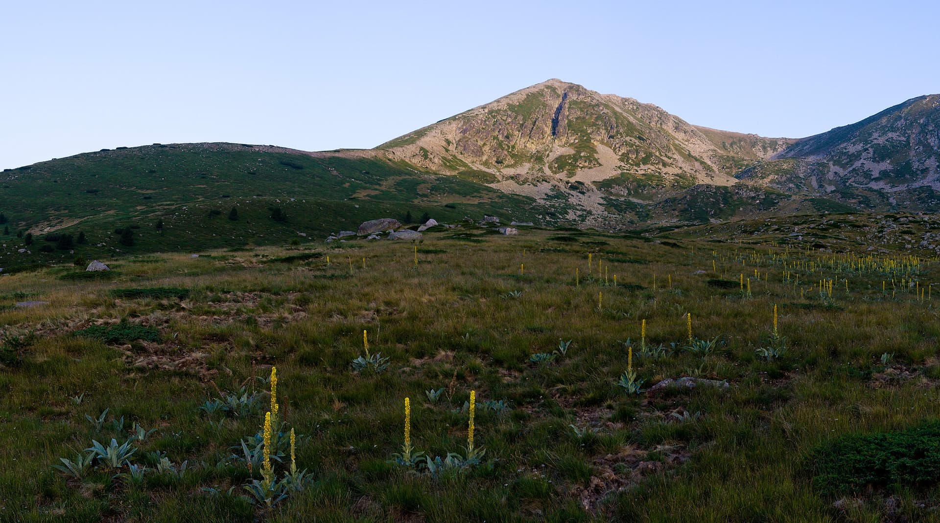
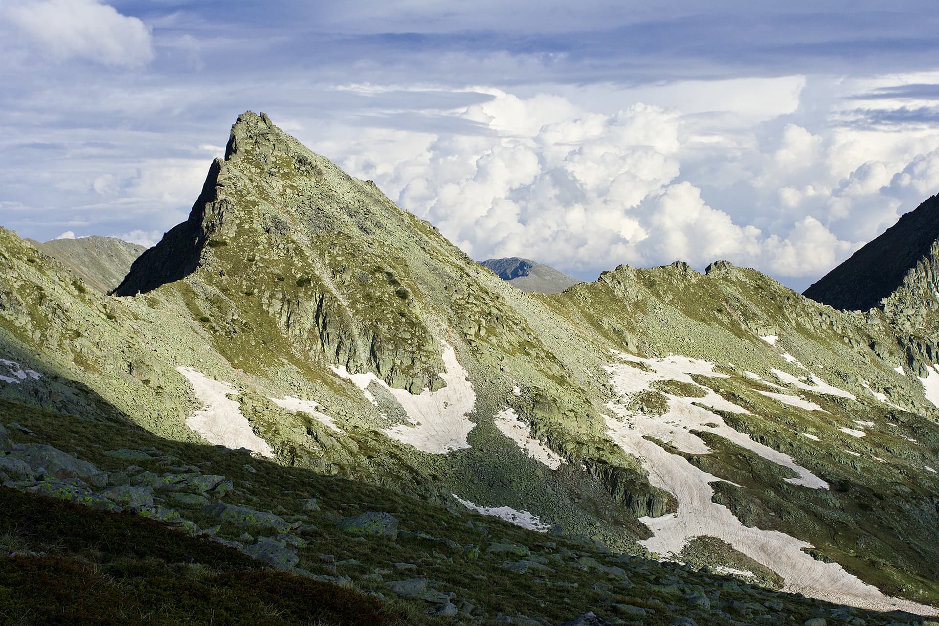
The Northwest Ridge of Kamenishka Kukla Peak is one of those alpine climbs that sit hidden right in plain sight, yet are rarely visited by climbers. The route offers stunning panoramas, airy steps, and enjoyable movements with direct views over Tevno Lake and most of Pirins highest alpine peaks. The ridge has a typical easy granite structure – loose in some easy sections, but the technically harder pitches are solid and offer great protection. In short, this climb is nothing less than devilishly good fun! Technical Parameters and Gear Requirements - Difficulty Grade: Touches IV plus according to the Bulgarian and French grading system, with sustained movements between grade II and grade III. - Climbing Time: Approximately 2 hours to 2 hours and 30 minutes for the climbing section only. - Best Season: From late May to late November. - Required Gear: Ropes 2 by 30 meters or a single 60 meter rope, 4 long slings from 120 to 180 centimeters for slinging boulders, a small set of medium nuts, and 3-4 medium cams or friends. Approach Routes - The closest base camp to the wall is the Tevno Ezero Shelter. The main approaches from the valleys are: - Via Gotse Delchev Hut and Bezbog Hut: From the top chairlift station at Bezbog, cross the Bezbog saddle to Popovo Lake following the yellow markings, follow the Kralevi Ezera trail under blue markings, and ascend Lya Kraledvorska Porta saddle to reach Tevno Ezero Shelter in about 3-4 hours at a good pace. From the shelter, it takes 1 more hour to reach the base via the Belemeto trail marked with stone cairns. - Via Demyanitsa Hut: Follow the blue markings south through Demyanitsa Valley to Mozgovishka Porta, then proceed south along the blue trail toward Begovishki Preval for about 3 hours to 3 hours and 30 minutes. - Via Begovitsa Hut: Follow the yellow and blue markings through Begovitsa Valley to Begovishki Preval, then descend north following the green markings for about 2 hours and 30 minutes to 3 hours. - Final Approach Section: Leave the main trail in Belemeto and scramble up the scree slopes toward the amphitheater like northwest flank. Climb up a loose grass and stone couloir to the left to reach the toe of the northwest ridge where the climbing begins. Watch out for loose rock! Route Description - Start and First Tower: The initial steps are easy scrambling of grade II. Soon you reach the base of a steep but low angle stone tower on the ridge. Climb it from the right side along a shallow, small corner or dihedral feature rated around grade III plus or IV minus, protected well with cams. After 20-25 meters, the ridge flattens out. Build a belay around a boulder. - The Main Tower Traverse: Climb up the obvious and easy ridge crest to a prominent, near vertical 10-12 meter high tower. Climb it straight up to its midpoint, then traverse airy into its left side because going straight up is harder and very loose. This leads to a grade II chimney. Climb it to a small notch on the ridge and belay around a block. - The Slab Dihedral: From the notch, climb up the ridge to a slab angled at around 50 to 55 degrees. Climb the left side of the slab along a beautiful dihedral corner formed by the slab and a massive boulder. The crack on the right wall of the corner takes medium cams perfectly at grade IV. Top out on a grassy ledge below the summit ridge and build a cam belay in a horizontal crack on the left. - The Crux Finish: Move toward the summit crest over low angle slabs to a prominent detached block. Step around the block to face the final crux section – a series of parallel, near vertical cracks formed by heavy blocks. Some are loose so take extra care. The exit moves are around grade IV plus, protected by a cam. Top out onto the main summit ridge, traverse 6 meters, and build a gear or block belay. Continue to the actual summit along an easy but very exposed crest of grade III minus. Descent and Objective Hazards - Descent: On foot, scramble down the easy southern boulder fields of Kamenishka Kukla to Begovishki Preval saddle. From there, follow the marked trails back to Tevno Ezero Shelter or down to Begovitsa Hut. - Hazards: The ultimate objective danger on this route is loose rock. Rockfall hazards are highly present on the easier scrambling sections along the entire ridge line, inside the final approach couloir, and right at the final grade IV plus crux exit cracks leading onto the main summit ridge. Be extremely careful if there are climbing parties below you!
Blagoevgrad
0.6 km away

Blagoevgrad
1.0 km away
Blagoevgrad
1.4 km away
Blagoevgrad
1.7 km away
Kamenishka kukla is located in Blagoevgrad, Bulgaria.
Kamenishka kukla is most easily reached by car. Use the coordinates above to navigate, or open the location in OpenStreetMap or your preferred maps app for turn-by-turn directions. Public transport options vary by region — for remote destinations a rental car gives the most flexibility.
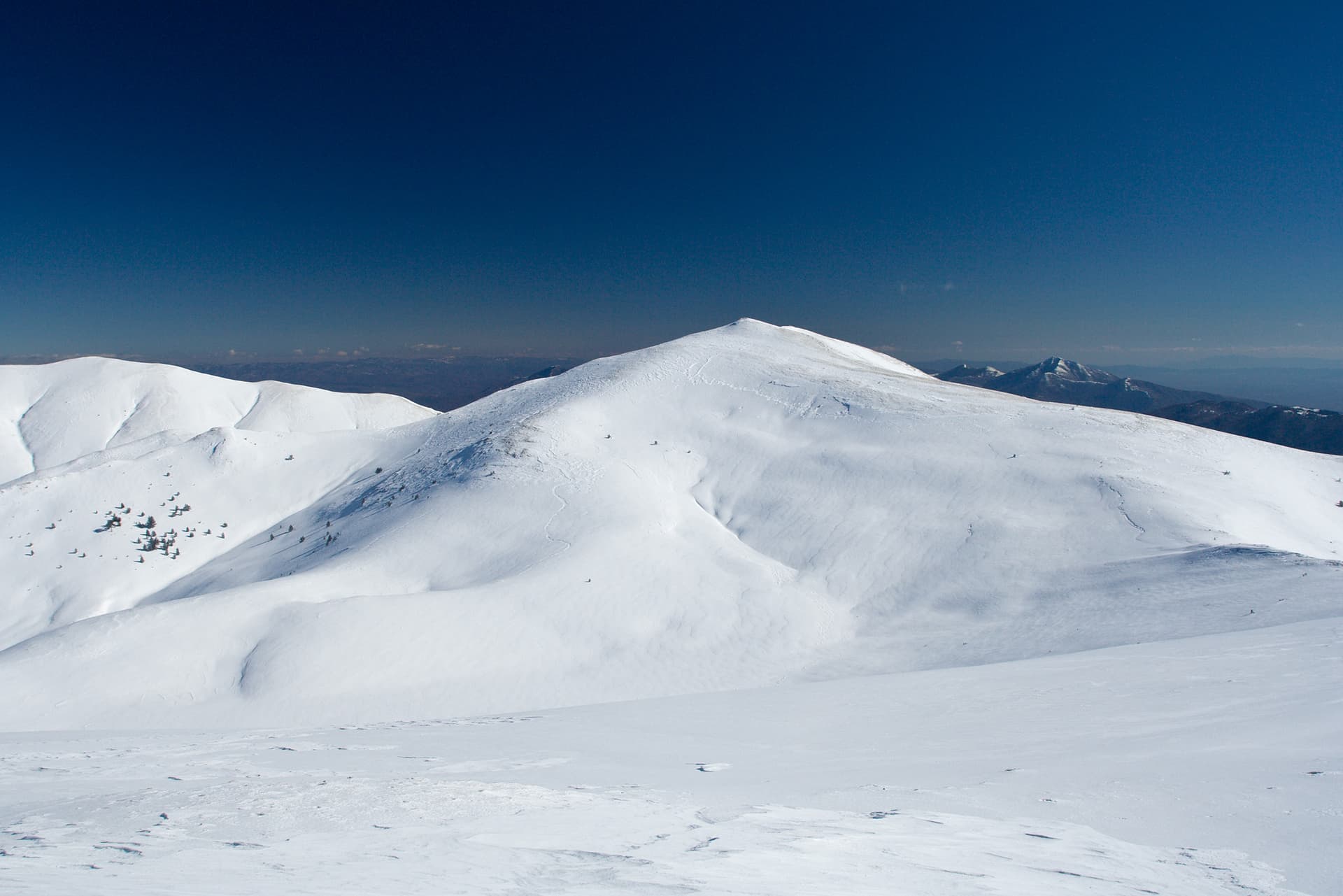
Late spring through early autumn (May–September) is best for Kamenishka kukla, when trails are clear of snow and weather is most stable. Higher peaks may hold snow into June and see fresh snow as early as October. Winter visits are for experienced mountaineers with proper gear.
Kamenishka kukla reaches an elevation of 2,717 metres above sea level.
Hiking boots, layered clothing, water (1.5–2 L per person), sun protection, and a windproof jacket — mountain weather changes quickly. For longer routes also bring a map (paper or offline), a head torch, and emergency rations. Tell someone your planned route and expected return time.