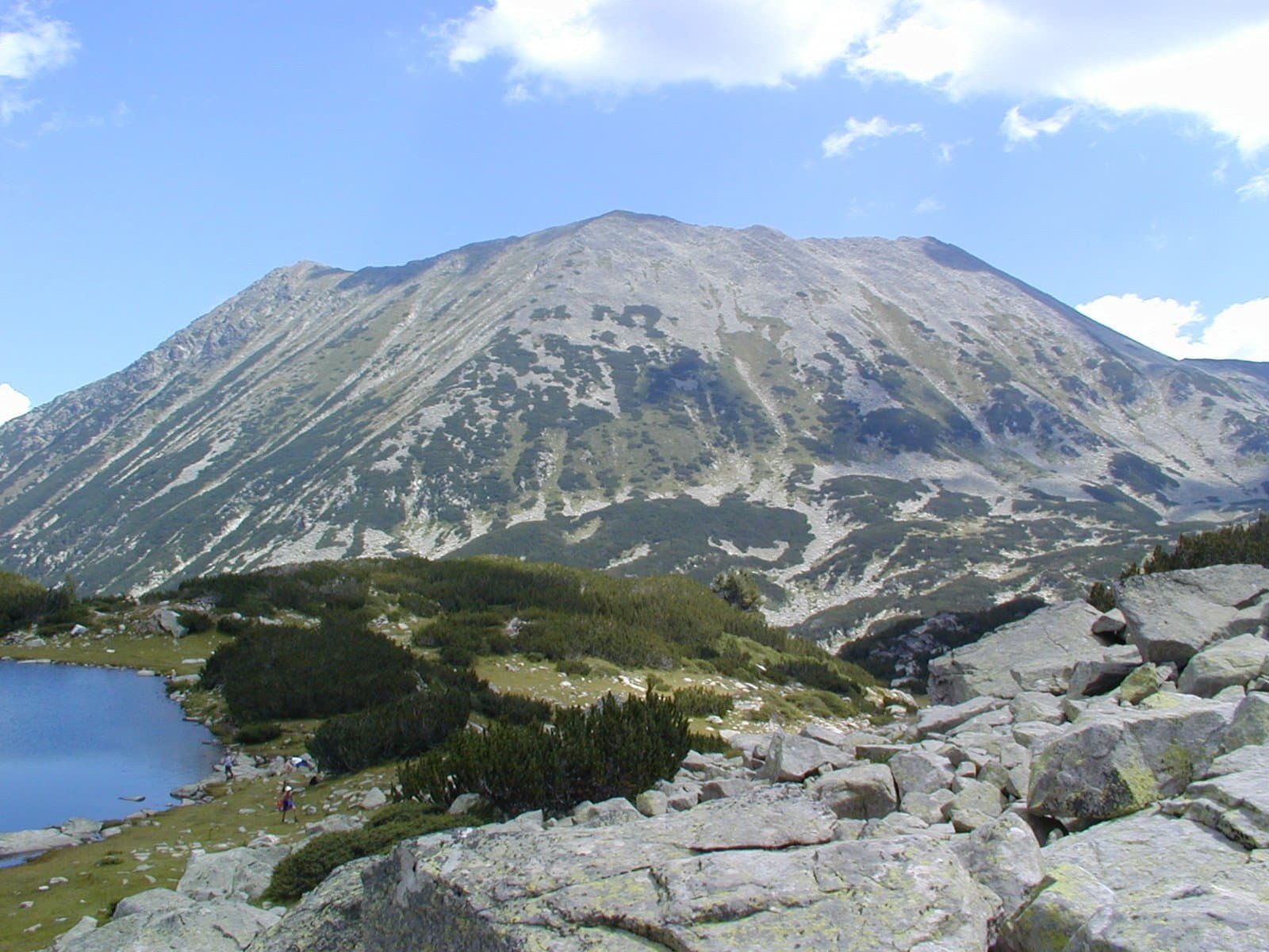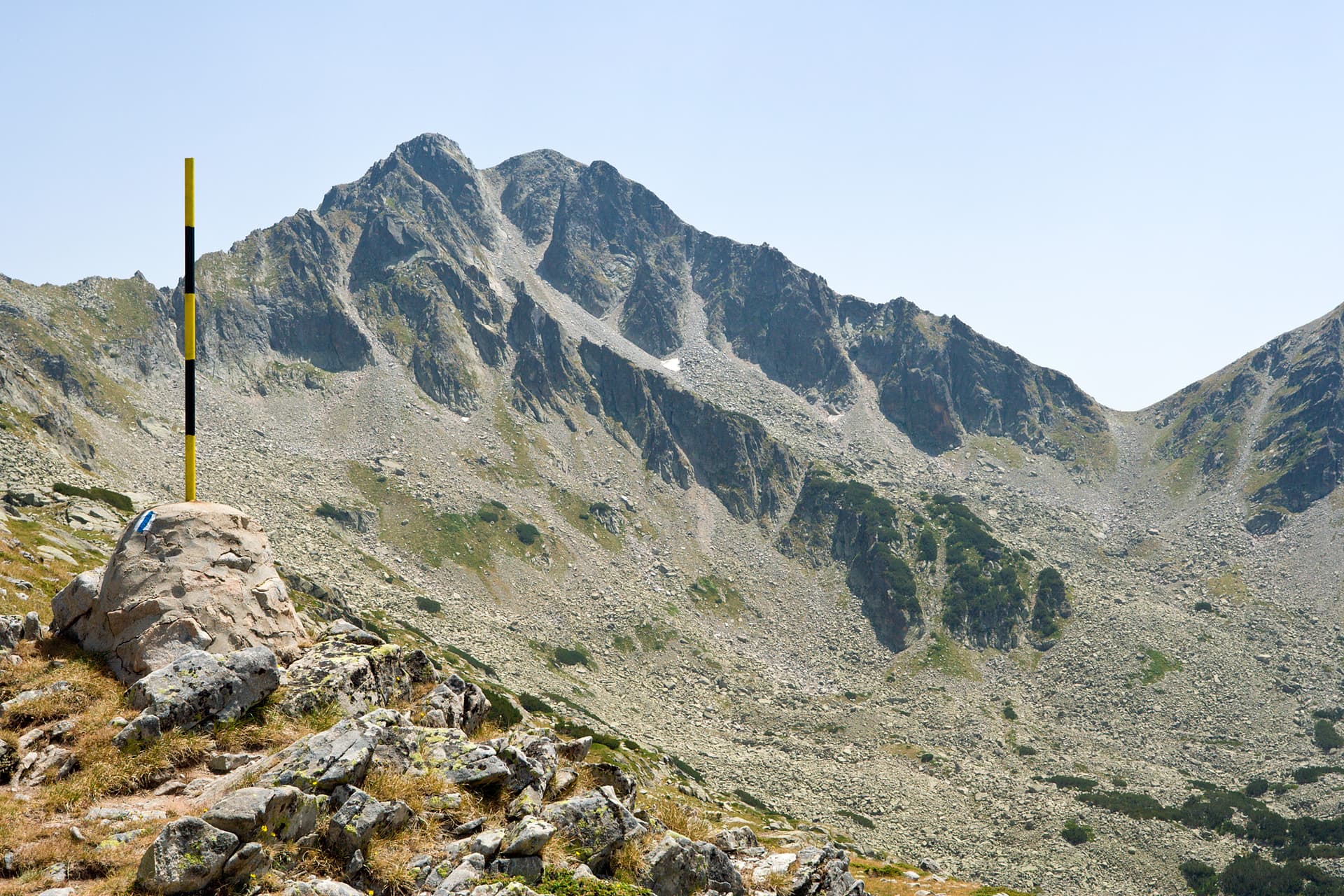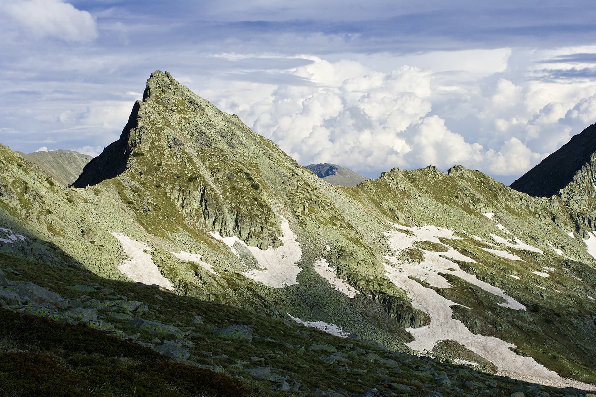
Kralev Dvor (2,684 m) is a sharp granite horn on the main Pirin ridge; bg.wikipedia gives 2,680 m. Seen from Tevno lake it has a distinctive triangular shape, tilted slightly north-north-west.
The peak was shaped by the glaciers of the Demirkapiyski, Kraledvorski and Belemeto cirques. To the north is the massive Momin Dvor, joined to Kralev Dvor by the easy Lyava Kraledvorska Porta saddle. To the south the Kamenitsa side ridge branches off, the first neighbour being Malka Kamenitsa beyond the Dyasna Kraledvorska Porta saddle. To the east a hard-to-reach stone crest leads to the Demirkapiyski Chuki.
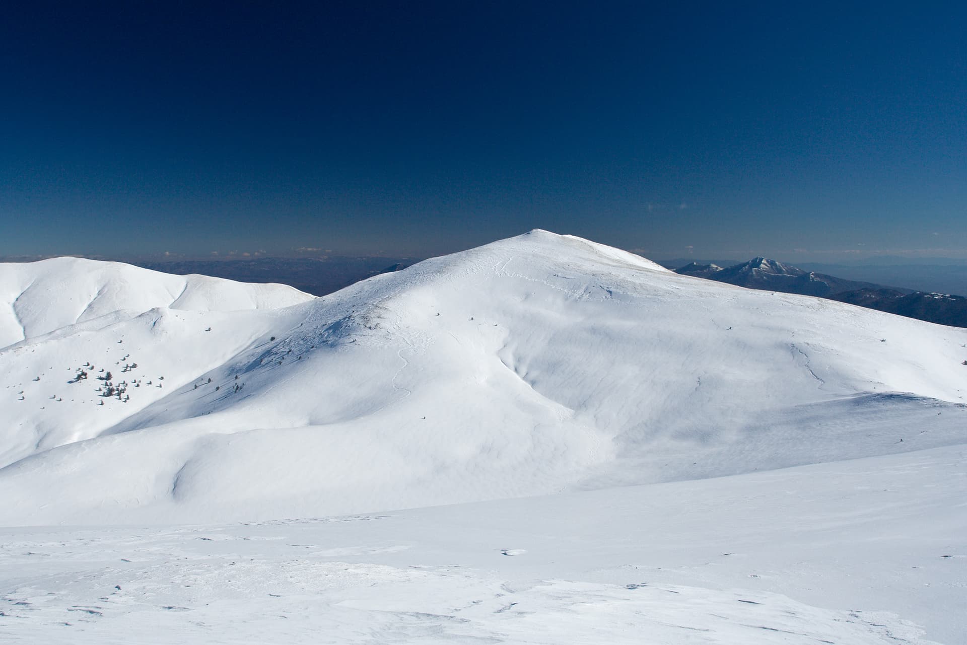
The summit is reached in 10–15 minutes along the northern crest from Lyava Kraledvorska Porta or the southern crest from Dyasna Kraledvorska Porta; from the Tevno Ezero shelter it is 30–40 minutes to the east. The Bezbog hut – Tevno Ezero shelter path crosses Lyava Kraledvorska Porta, and the Pirin hut – Tevno Ezero shelter path crosses Dyasna. The right-hand saddle is recognisable by its winter marker poles, the left-hand one by its stone cairns. The summit looks over the Kraledvorski, Popovoezeren and Belemeto cirques and their lakes.
Bezbog hut is reached from Dobrinishte via Gotse Delchev hut and the lift between the two huts; from Bezbog to the shelter takes about 3 hours.
Kralev Dvor is located in Blagoevgrad, Bulgaria.
Kralev Dvor is most easily reached by car. Use the coordinates above to navigate, or open the location in OpenStreetMap or your preferred maps app for turn-by-turn directions. Public transport options vary by region — for remote destinations a rental car gives the most flexibility.
Late spring through early autumn (May–September) is best for Kralev Dvor, when trails are clear of snow and weather is most stable. Higher peaks may hold snow into June and see fresh snow as early as October. Winter visits are for experienced mountaineers with proper gear.
Kralev Dvor reaches an elevation of 2,684 metres above sea level.
Hiking boots, layered clothing, water (1.5–2 L per person), sun protection, and a windproof jacket — mountain weather changes quickly. For longer routes also bring a map (paper or offline), a head torch, and emergency rations. Tell someone your planned route and expected return time.