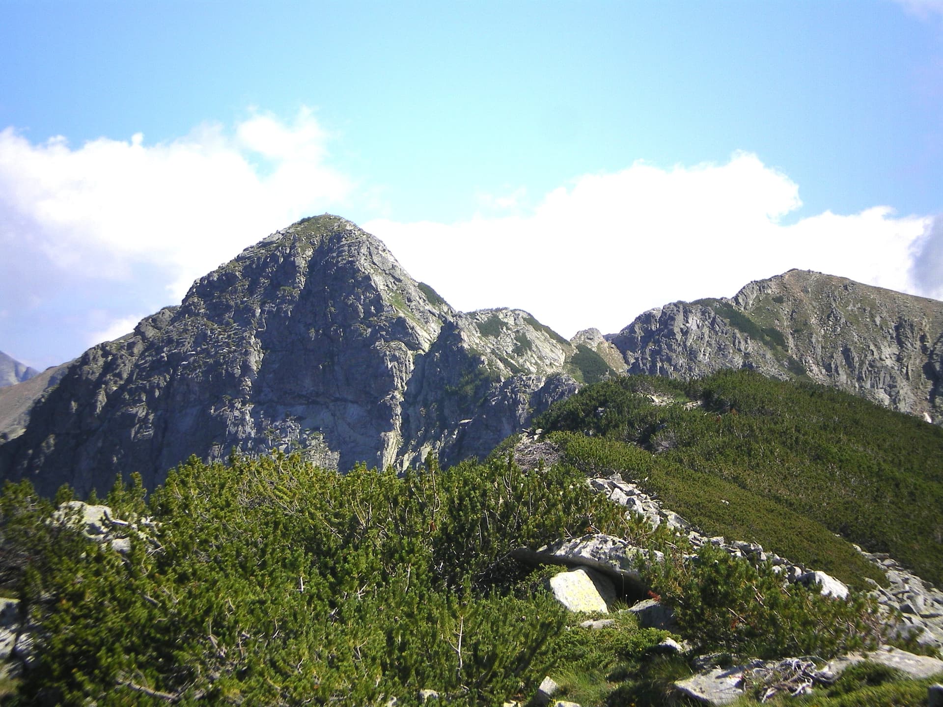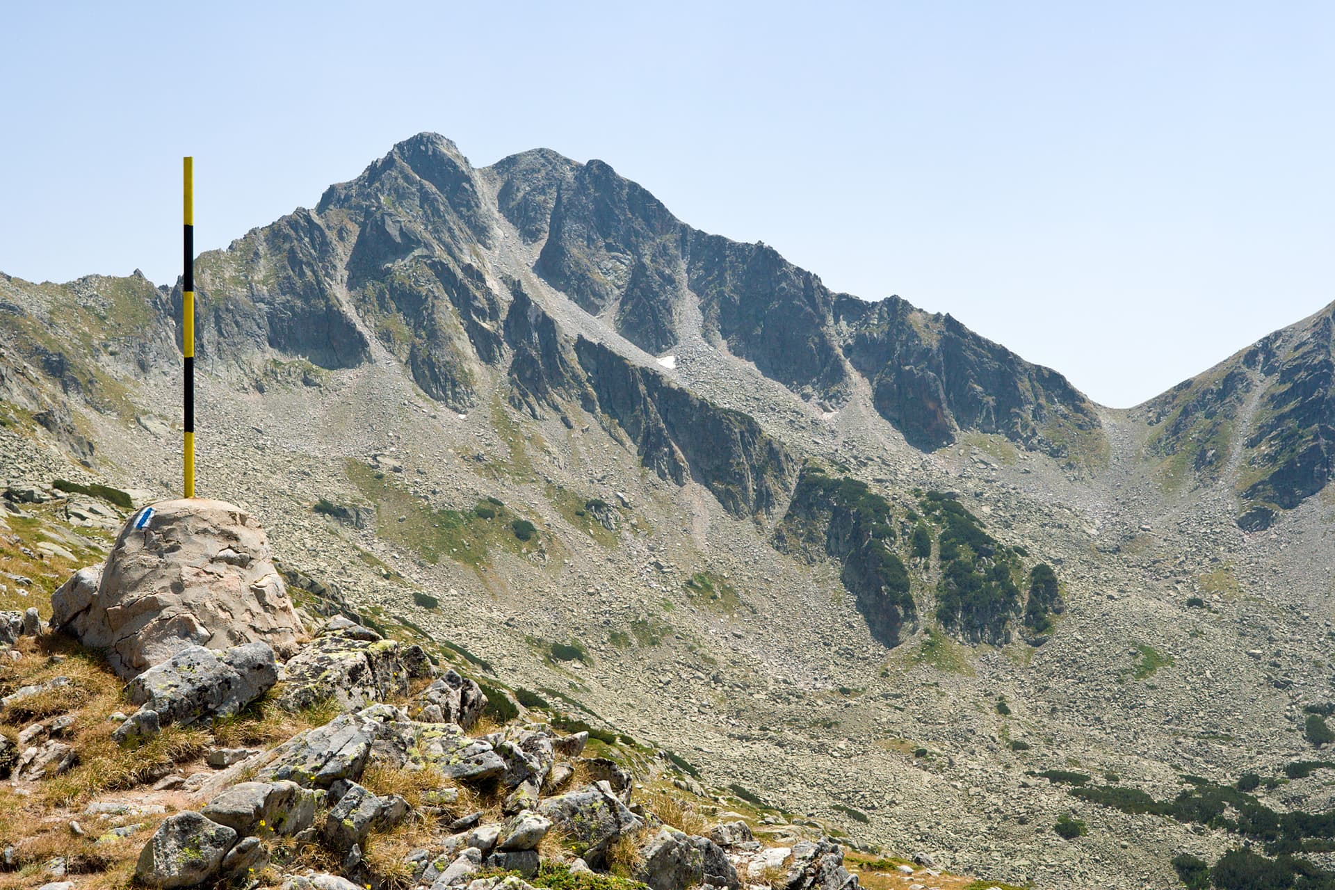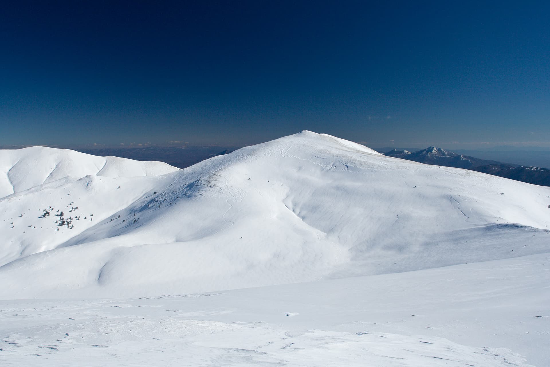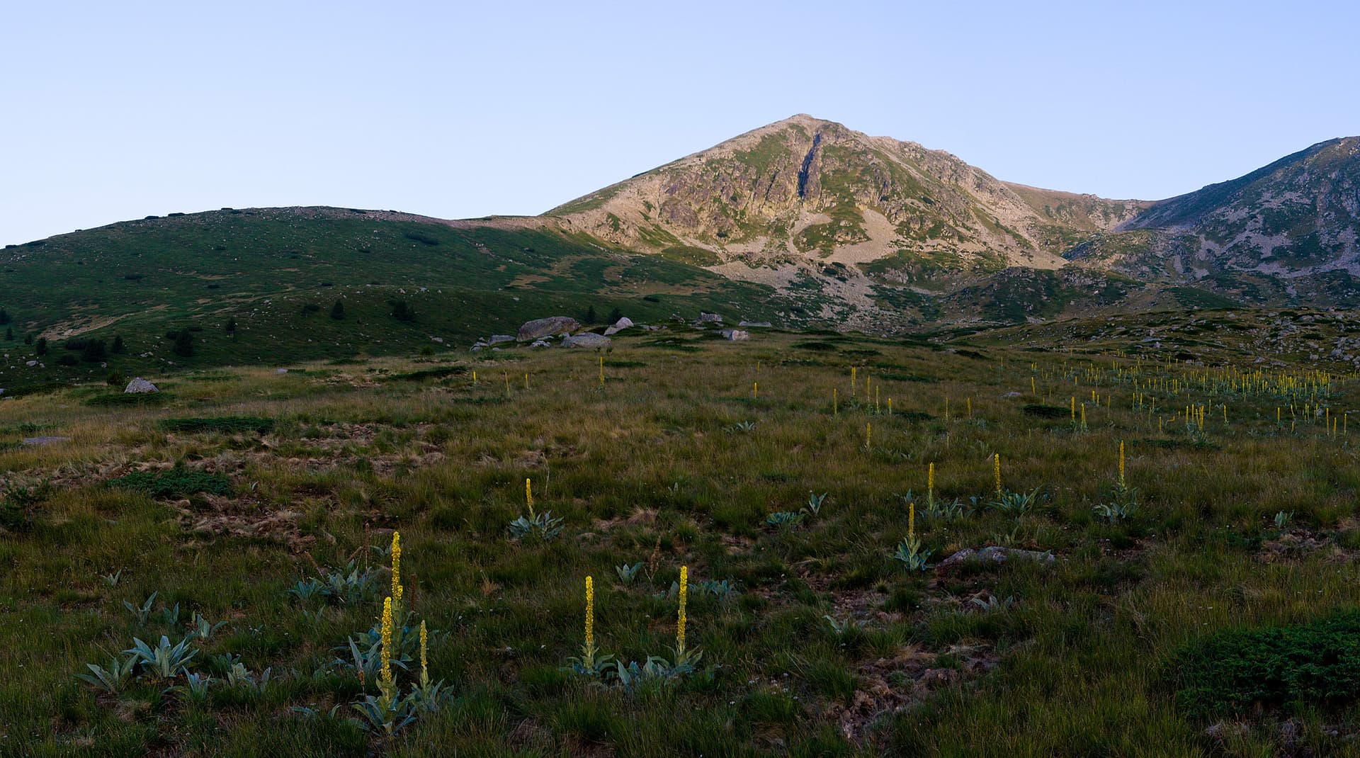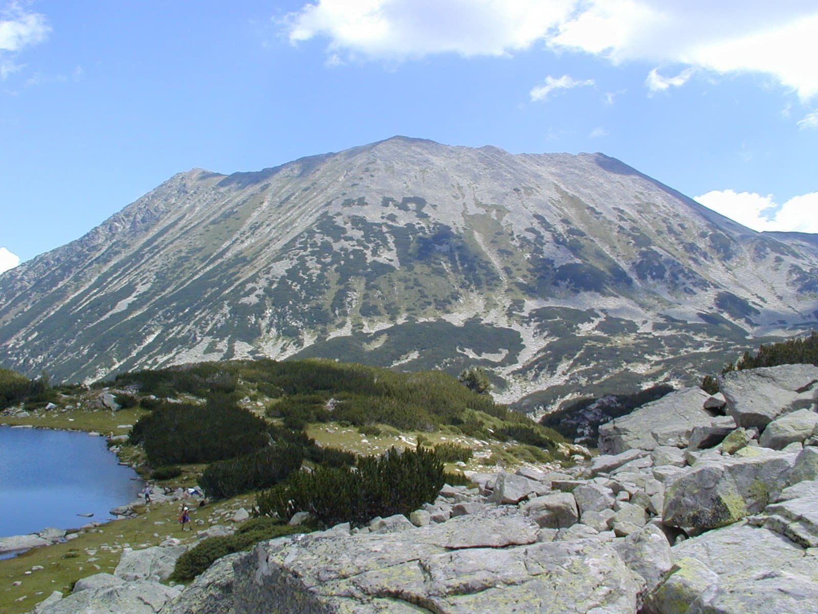
Todorka Peak, also known as Todorin Vrah or Golyama Todorka, is one of the most massive and recognizable granite peaks in the Northern Pirin Mountains. Soaring to an altitude of 2746 meters, it ranks as the 11th highest peak in the entire mountain range and stands as the highest point of the Todorka side ridge. The peak features exceptionally steep slopes, which transform into rugged, sheer rock faces to the northeast. Structurally, it forms an impressive truncated pyramid with three distinct summits, often referred to by hikers as Golyama (Great), Sredna (Middle), and Malka (Little) Todorka. The highest point is located on the northern side, commanding the skyline above the town of Bansko with its sharp, clean pyramidal shape. Several of the premier ski runs of the local resort are carved directly into these northern slopes. The main ridge crest curves beautifully to the southwest, reaching an elevation of 2706 meters before turning southeast toward a final point at 2712 meters.
The geographic positioning of the summit offers an extraordinary display of diverse alpine landscapes. To the west and south stretches the grand Banderitsa Valley, which wraps smoothly around the base of the mountain. Tucked into a deep eastern cirque are the two Todorini Lakes (popularly known as Todorini Ochi - Todorka's Eyes), located right along the classic hiking trail connecting Vihren Hut and Demyanitsa Hut. The summit platform rewards climbers with an unparalleled panoramic view in every direction — Mount Vihren and Mount Kutelo rise majestically to the west, the rocky ridge of Ushitsite cuts the horizon to the east, and the sharp profile of Kamenitsa Peak dominates the south. On clear days, the view to the north opens up so perfectly over Bansko that individual streets and buildings can be easily distinguished.
Hikers looking to stand on top of Todorka can choose between two main routes:
The origin of the peak's name is tied to two dramatic local legends. The first speaks of a brave Bulgarian woman named Todorka, a defender of the historic Sitan Fortress. Choosing death over capture and dishonor by the invading Ottoman forces, she fled up the mountain, scaled the high peak, and threw herself down into the vertical abyss (some versions involve an Ottoman leader named Murat Bey, after whom the nearby Muratov Peak was named). The second, more romantic legend describes a local girl named Todorka whose father refused to let her marry her beloved, Vasil. Heartbroken, she ran up to the summit and wept so bitterly that her tears gathered to form the two Todorini Lakes. Vasil searched for her in vain across the ridges until he finally reached the nearby Vasilashki Chukar Peak; in absolute despair, he threw himself into the glacial waters below, giving his name to the Vasilashki Lakes.

How to climb Vihren (2,914 m), Bulgaria's second-highest peak, from Bansko — the route, the fearsome Koncheto ridge, huts, season and what to pack.
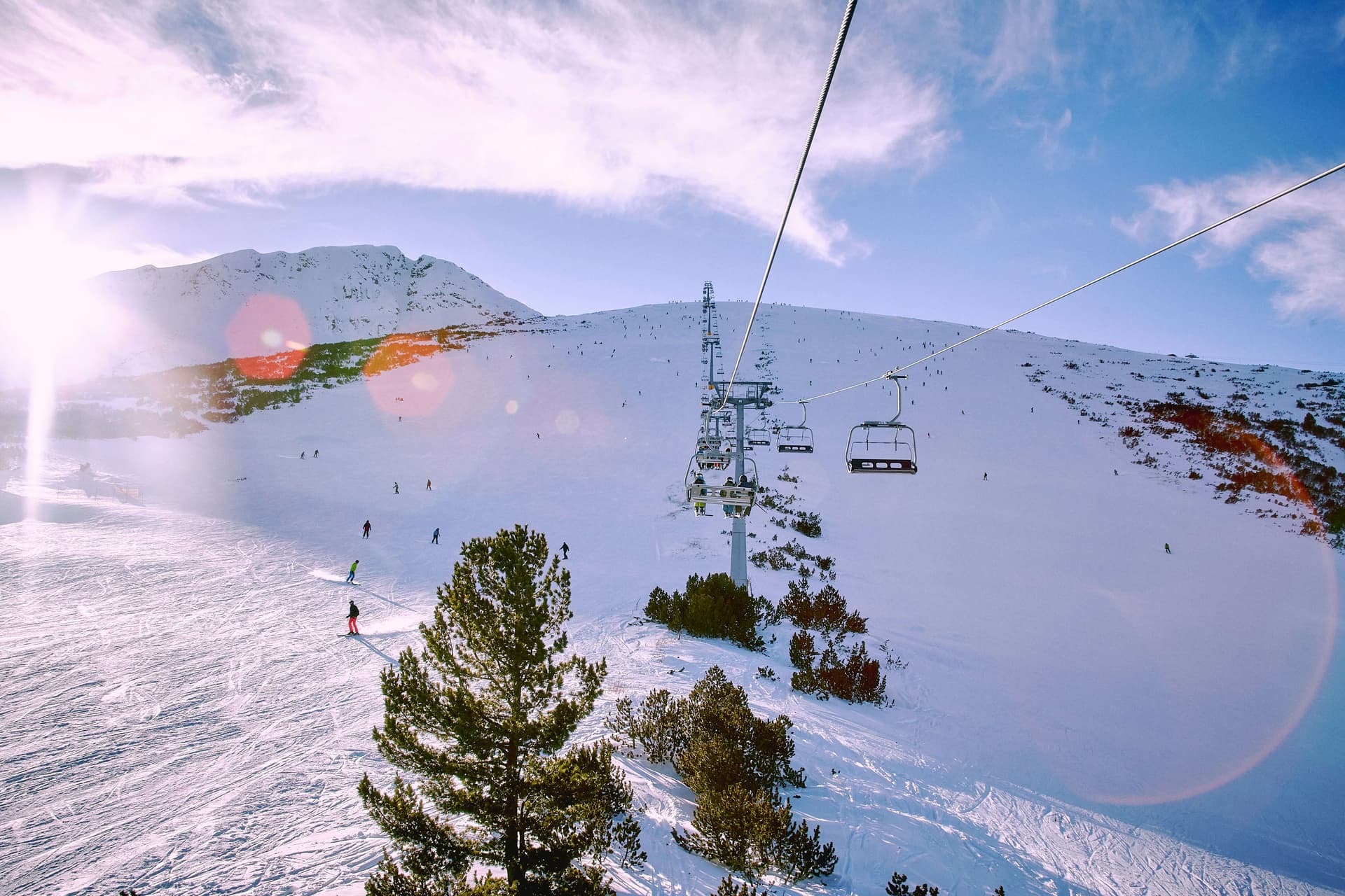
A complete guide to Bansko ski resort: 75 km of pistes, the gondola from town, lift pass prices, night skiing, parking, family skiing, and where to stay.
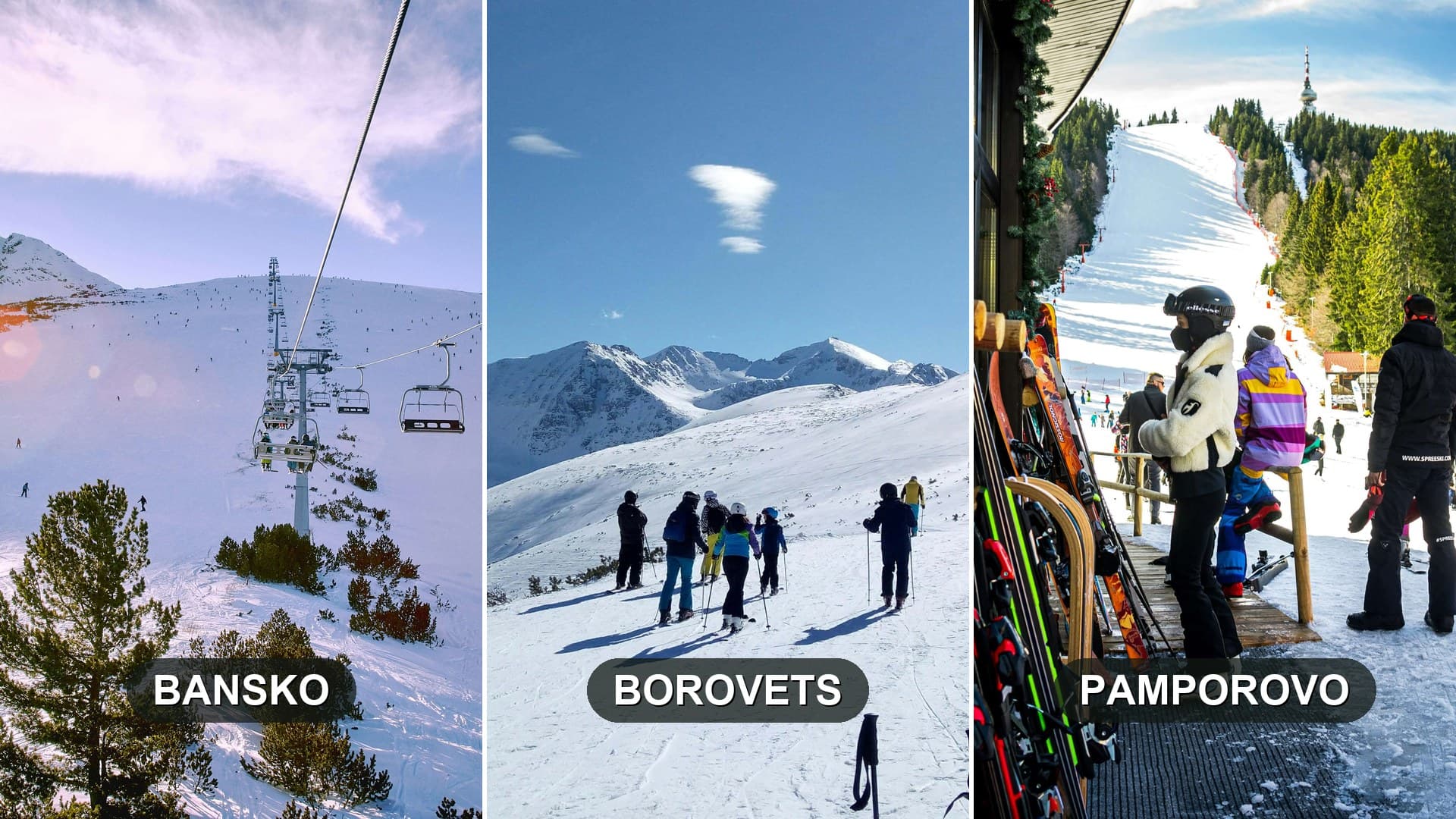
Borovets, Bansko, or Pamporovo? Bulgaria's top ski resorts compared on pistes, snow, beginners, lift passes, nightlife, and transfer times.
Todorka peak is located in Blagoevgrad, Bulgaria.
Todorka peak is most easily reached by car. Use the coordinates above to navigate, or open the location in OpenStreetMap or your preferred maps app for turn-by-turn directions. Public transport options vary by region — for remote destinations a rental car gives the most flexibility.
Late spring through early autumn (May–September) is best for Todorka peak, when trails are clear of snow and weather is most stable. Higher peaks may hold snow into June and see fresh snow as early as October. Winter visits are for experienced mountaineers with proper gear.
Todorka peak reaches an elevation of 2,746 metres above sea level.
Hiking boots, layered clothing, water (1.5–2 L per person), sun protection, and a windproof jacket — mountain weather changes quickly. For longer routes also bring a map (paper or offline), a head torch, and emergency rations. Tell someone your planned route and expected return time.