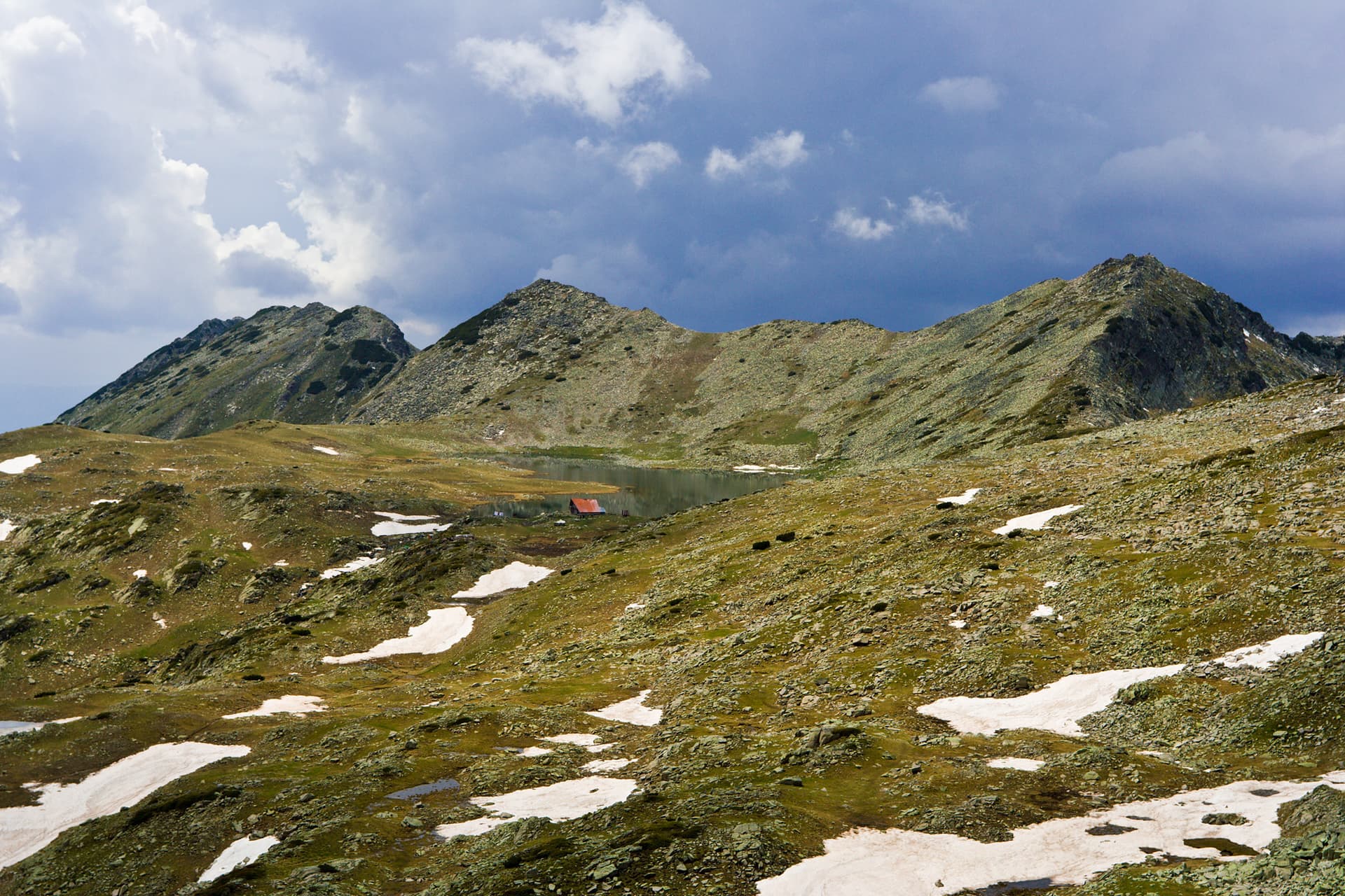
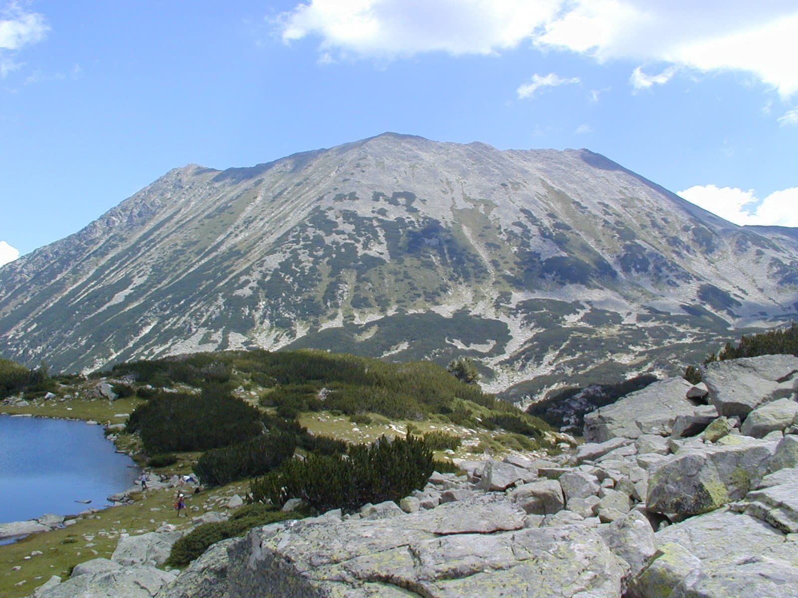
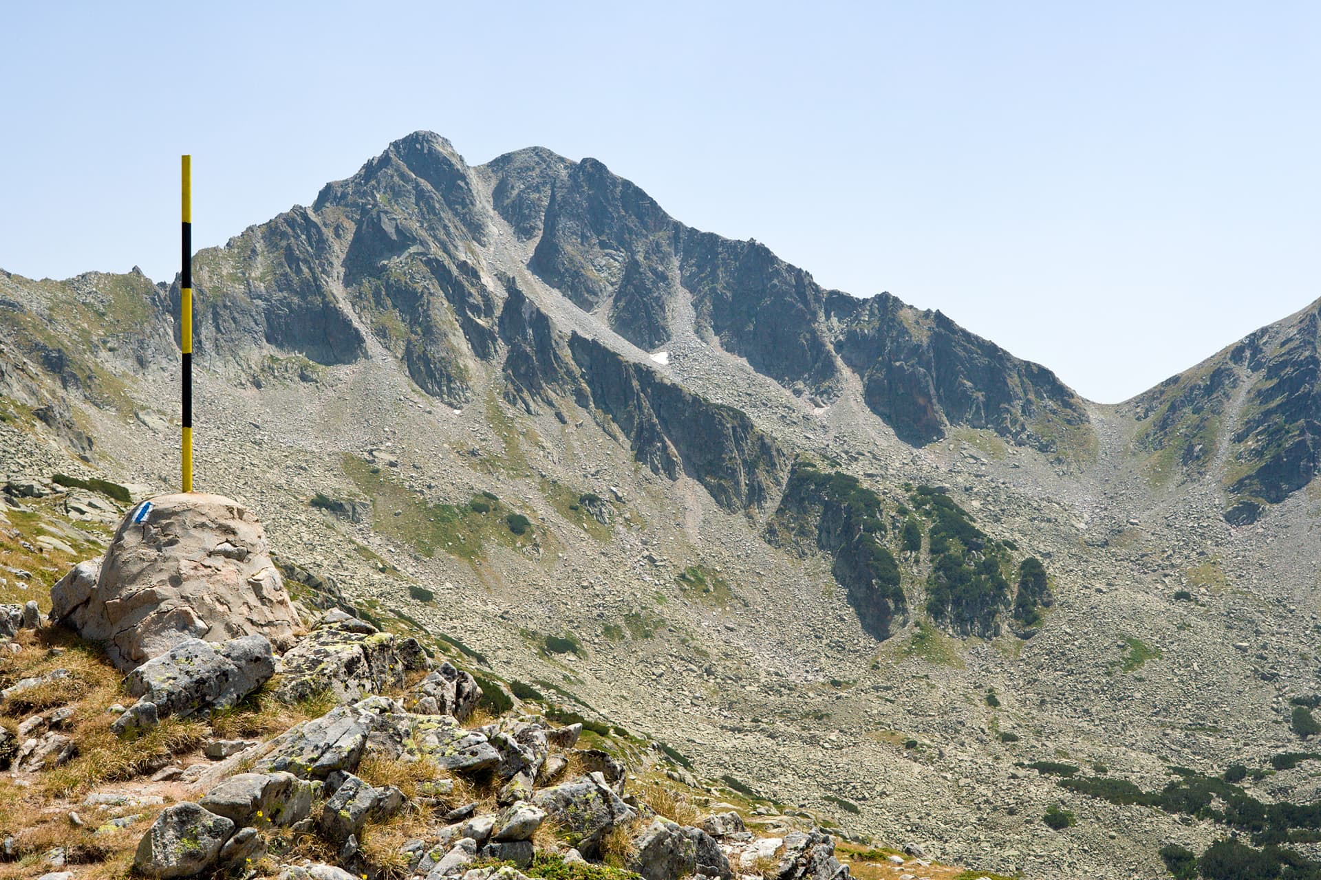
Valyavishka Chuka – one of the majestic sentinels of Northern Pirin, rising in the heart of the Blagoevgrad region, is both a challenge and a reward for every mountain enthusiast. With an altitude of 2664 meters, this impressive peak is known for its conical shape and dominant presence over the beautiful Valyavishka Valley.
Ascending Valyavishka Chuka is not for everyone, but the efforts are richly rewarded. The routes to the summit offer breathtaking views of vast cirques, crystal-clear lakes, and sharp ridges. Particularly picturesque is the path passing by the Valyavishki Lakes – mirrors of the sky scattered across the alpine wilderness, adding a mystical charm to the landscape. From the peak, a panorama unfolds, encompassing a large part of Pirin – from the rugged rocks of Muratov Vrah and Todorin Vrah to the distant outlines of Rila.
Valyavishka Chuka is not just a peak; it's an experience. Here you can feel the raw beauty of the high mountains, breathe in the pure mountain air, and enjoy the silence, broken only by the wind and the whistle of birds of prey. Every step upwards is an immersion in the wild, and the view from the summit is a lesson in humility and admiration for the power and grandeur of Pirin.
It is recommended to visit during the summer months when the trails are accessible and the weather is more stable. Remember – Valyavishka Chuka is not just a point on the map, but a destination that leaves lasting memories and a desire to return.
Valyavishka chuka is located in Blagoevgrad, Bulgaria.
Valyavishka chuka is most easily reached by car. Use the coordinates above to navigate, or open the location in OpenStreetMap or your preferred maps app for turn-by-turn directions. Public transport options vary by region — for remote destinations a rental car gives the most flexibility.
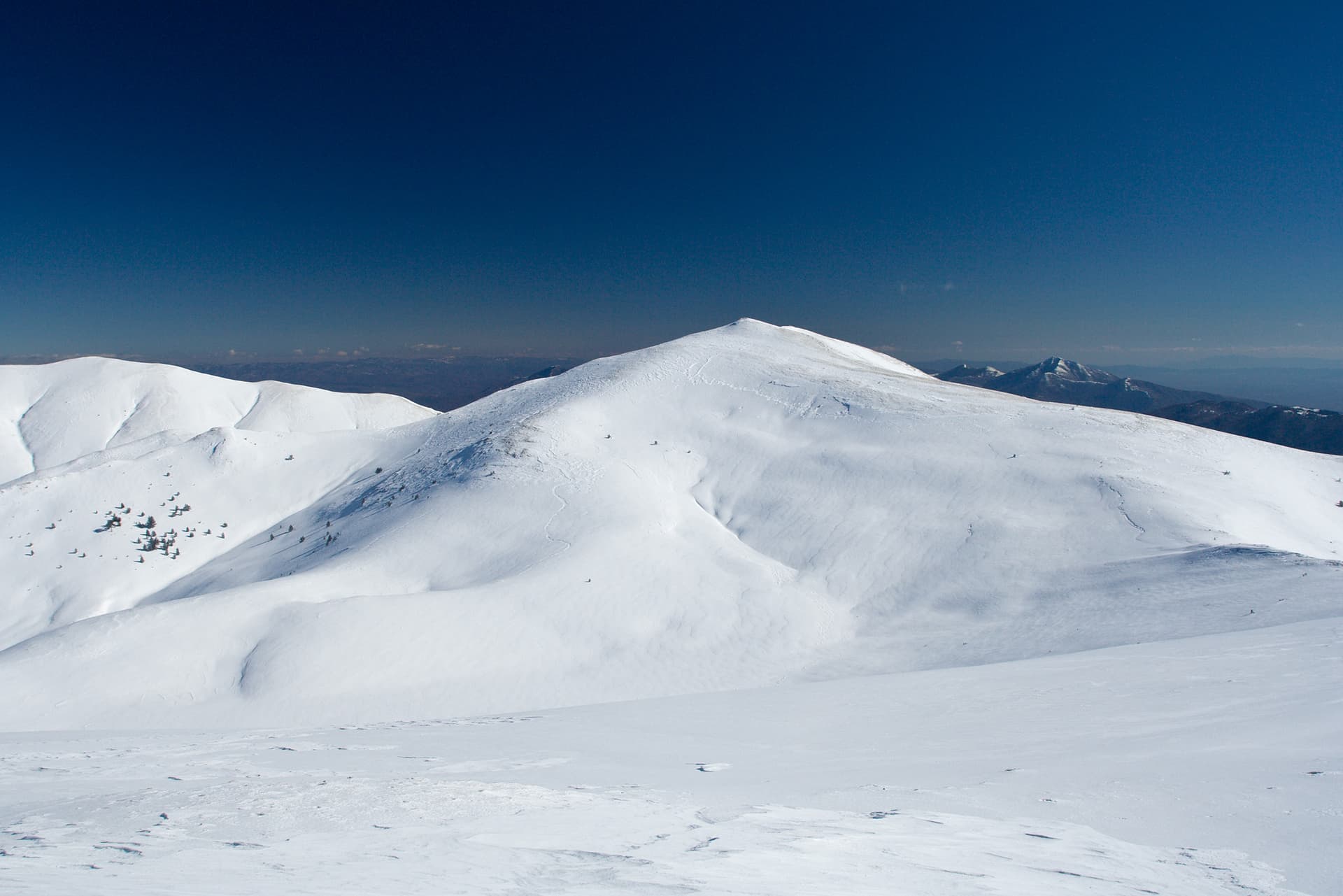
Late spring through early autumn (May–September) is best for Valyavishka chuka, when trails are clear of snow and weather is most stable. Higher peaks may hold snow into June and see fresh snow as early as October. Winter visits are for experienced mountaineers with proper gear.
Valyavishka chuka reaches an elevation of 2,652 metres above sea level.
Hiking boots, layered clothing, water (1.5–2 L per person), sun protection, and a windproof jacket — mountain weather changes quickly. For longer routes also bring a map (paper or offline), a head torch, and emergency rations. Tell someone your planned route and expected return time.