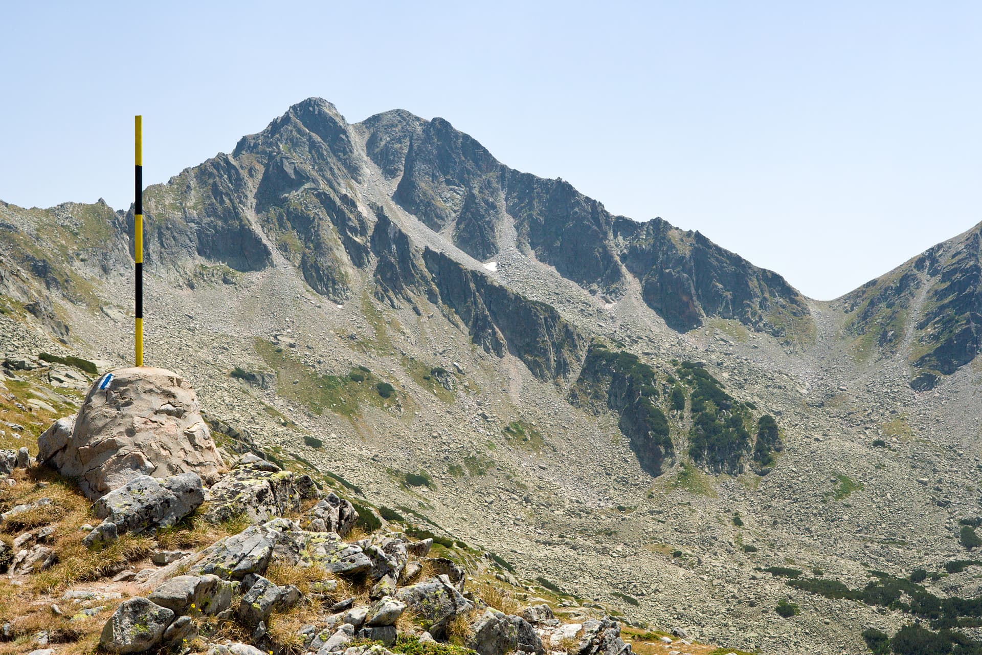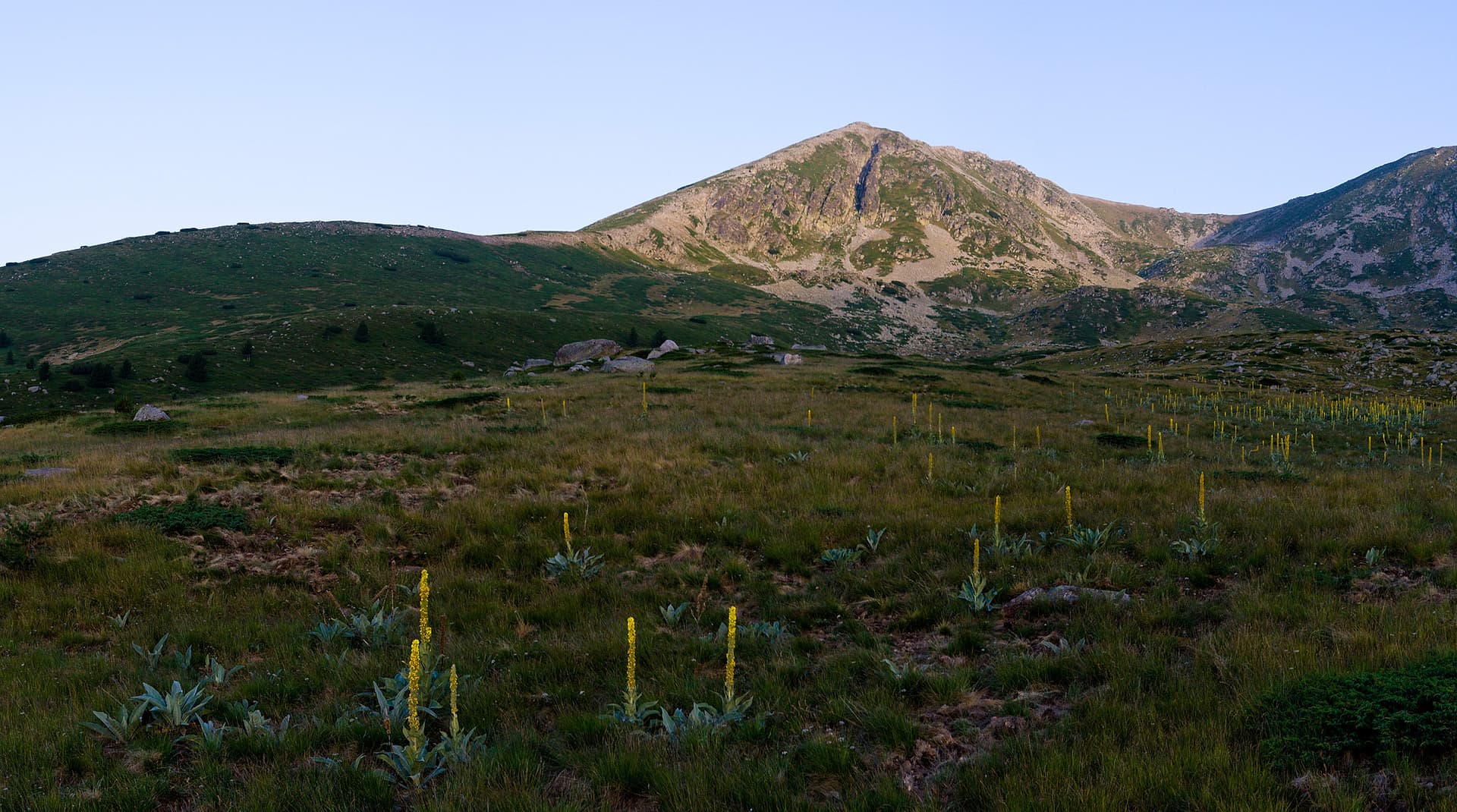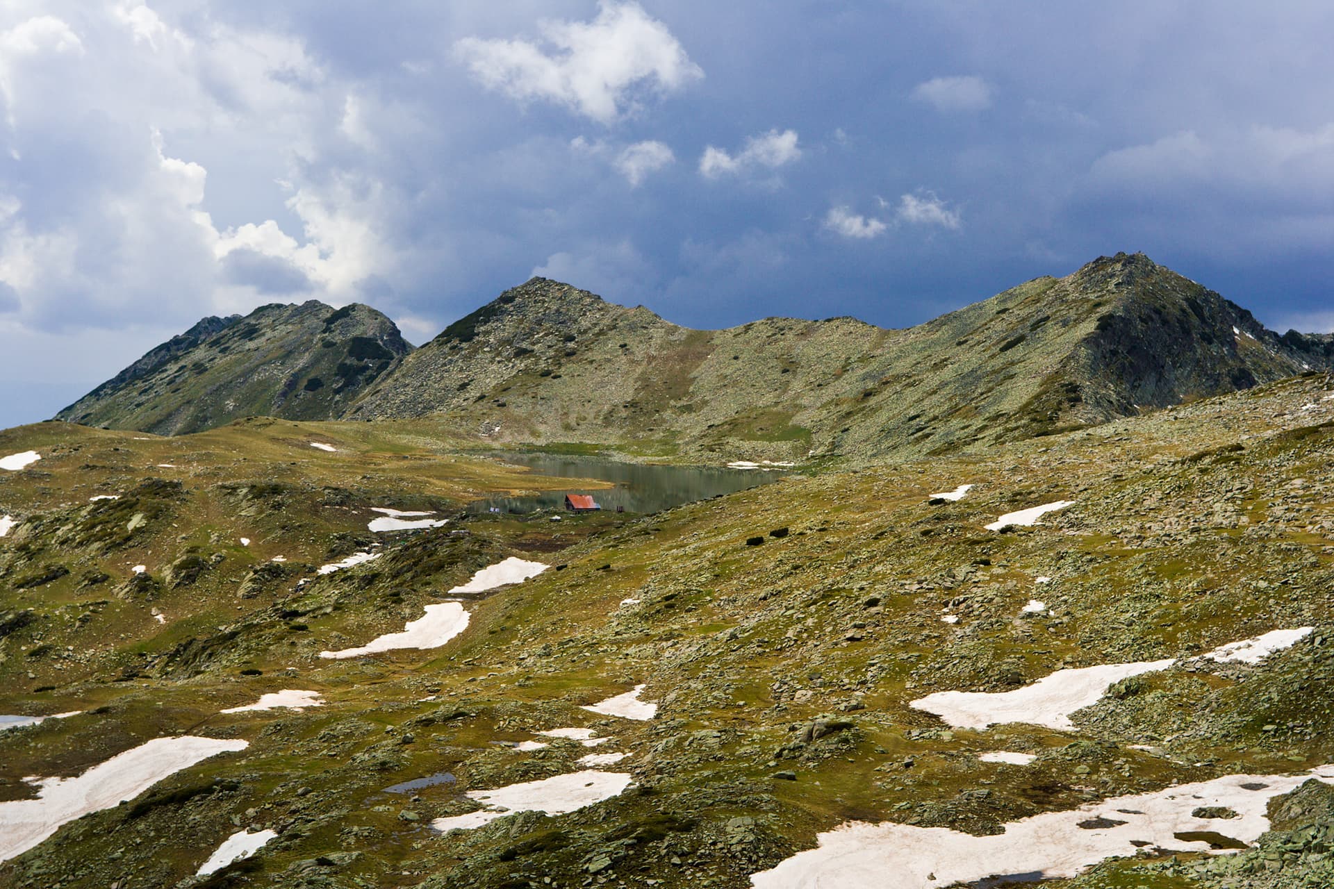
Valyavishki Chukar stands as one of the majestic and imposing peaks in the northern part of Pirin, offering unforgettable experiences and breathtaking panoramas. Rising to an altitude of 2664 meters, this marble giant is located in Bansko Municipality, Blagoevgrad region, and dominates the picturesque valley of the Valyavishki Lakes. Its impressive presence makes it a key point for anyone wishing to immerse themselves deep into Pirin's wild nature. The ascent to Valyavishki Chukar is a challenge, yet an exceptional reward for every mountain enthusiast. Routes to it usually start from Vihren Hut, passing through Muratovo Lake and continuing towards Razlozhki Sukhi Lakes, offering a variety of views and terrain. Another option is from Demyanitsa Hut, following the scenic Kobilichno Ridge. From the peak, a magnificent 360-degree view unfolds: to the west, you admire Muratov Peak and its lakes; to the north, Todorka Peak and the iconic Vihren; and to the east, the Bezbog Ridge and the entire Valyavishki Lake bottom, shimmering below, encircled by raw rock formations. Characteristic of the area is the typical alpine landscape with stony screes, lush grassy meadows, and extensive dwarf pine formations, harboring rich flora. Here you might also encounter typical Pirin fauna, including curious chamois and graceful eagles circling above the ancient rocks. The most suitable time for climbing is during the summer months (July-August) and early autumn (September), when weather conditions are most stable and offer clear views. Be prepared for steep sections and rocky terrain, but know that every drop of sweat is worth it. Valyavishki Chukar is a place that will leave you speechless before the power, scale, and untouched beauty of Pirin, carving itself deep into your memories.

Blagoevgrad
0.5 km away
Blagoevgrad
1.2 km away
Blagoevgrad
1.5 km away
Valyavishki chukar is located in Blagoevgrad, Bulgaria.
Valyavishki chukar is most easily reached by car. Use the coordinates above to navigate, or open the location in OpenStreetMap or your preferred maps app for turn-by-turn directions. Public transport options vary by region — for remote destinations a rental car gives the most flexibility.
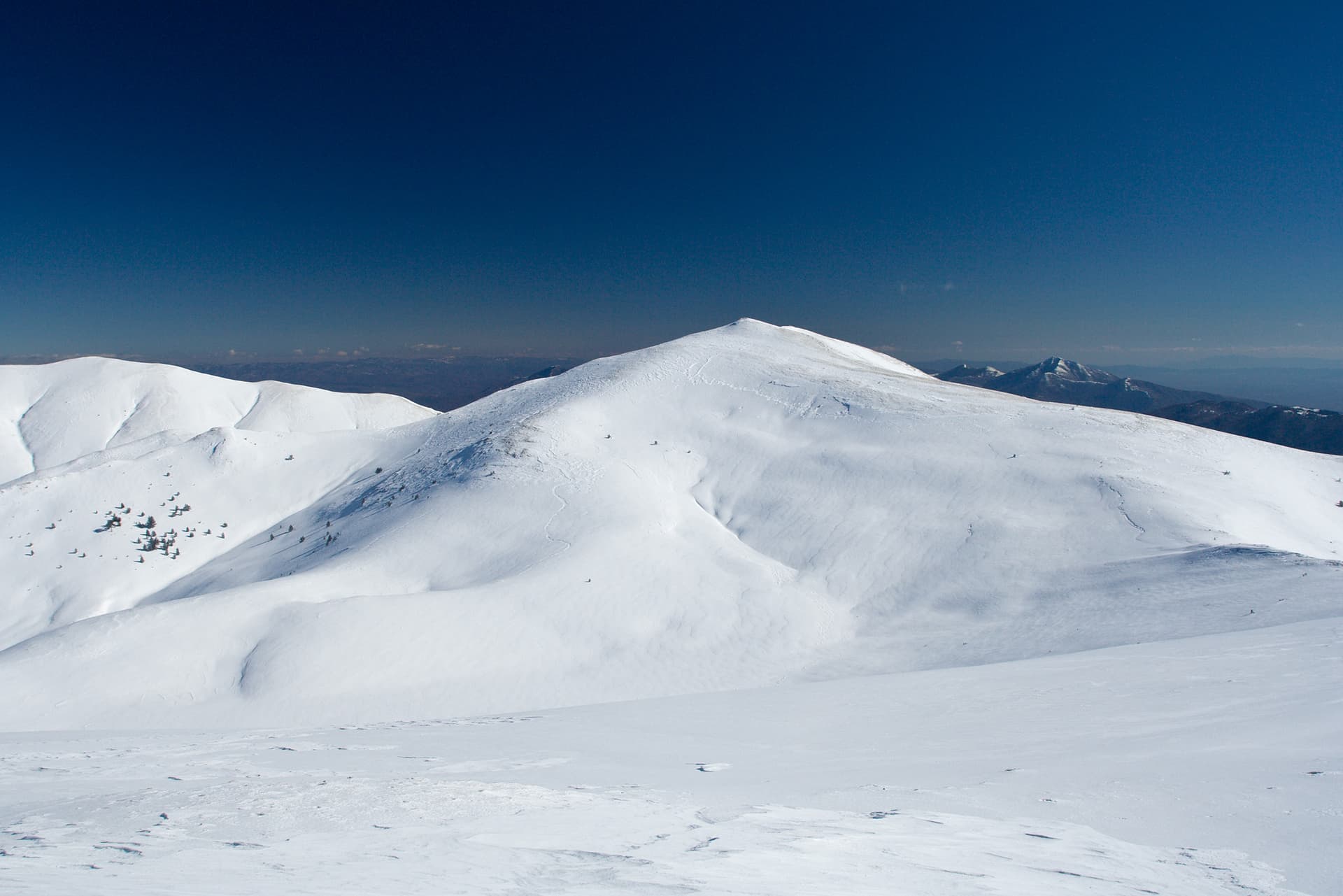
Late spring through early autumn (May–September) is best for Valyavishki chukar, when trails are clear of snow and weather is most stable. Higher peaks may hold snow into June and see fresh snow as early as October. Winter visits are for experienced mountaineers with proper gear.
Valyavishki chukar reaches an elevation of 2,670 metres above sea level.
Hiking boots, layered clothing, water (1.5–2 L per person), sun protection, and a windproof jacket — mountain weather changes quickly. For longer routes also bring a map (paper or offline), a head torch, and emergency rations. Tell someone your planned route and expected return time.