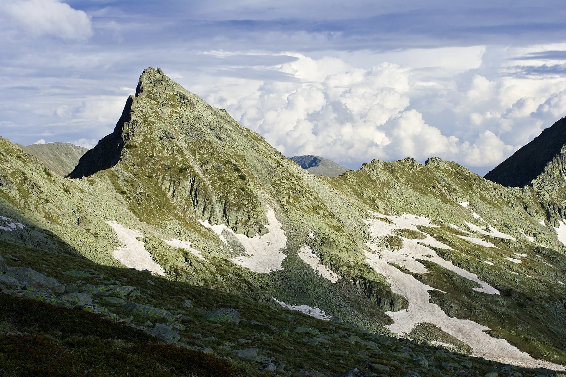
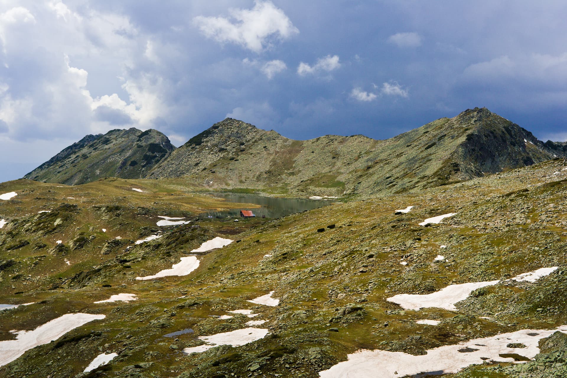
Mount Dzhengal (2,729 m) stands as one of the most iconic and sought-after summits in the Pirin Mountains. While its eastern face from Popovo Lake is known for extreme exposure and high adrenaline, the route from the Tevno Ezero Shelter offers a much safer, yet equally rewarding alpine experience. Route Essentials - Starting Point: Tevno Ezero Shelter (accessible only by foot). - Marking: There is no official park marking. The trail is indicated by unofficial orange dots painted on the rocks, marking the safest and most efficient path. - Terrain: Very rugged, consisting mostly of large boulders (moraines) and jagged rocks. It requires focus and steady footing. - Duration: Approximately 1 hour and 45 minutes one way. - Hydration: Water is available only at the starting point (the shelter). Trail Breakdown - The Saddle: The trek begins behind the shelter, heading towards the saddle between Valyavishki Chukar and Momini Dvori. The descent into the gully towards the Valyavishki Cirque is the most technical part of the start. - The Boulders: A significant portion of the hike involves navigating massive granite moraines. It is crucial to follow the orange dots closely to stay on the safest line through the rock fields. - The Final Push: Once you reach the col between Dzhengal and Momini Dvori, the terrain changes. The final ascent to the summit is surprisingly straightforward, with a well-trodden soil path leading to the highest point. The View from the Top The summit provides an unparalleled 360-degree view of Northern Pirin. Looking down, you will see the legendary Samodivski Lakes (also known as the Kralyevi Lakes). One of the lakes is perfectly heart-shaped, earning it the nickname "The Heart of Pirin."

Blagoevgrad
0.2 km away
Blagoevgrad
0.4 km away
Blagoevgrad
0.7 km away
Blagoevgrad
1.1 km away
z. Tevno ezero - v. Dzhengal is located in Blagoevgrad, Bulgaria.
z. Tevno ezero - v. Dzhengal is most easily reached by car. Use the coordinates above to navigate, or open the location in OpenStreetMap or your preferred maps app for turn-by-turn directions. Public transport options vary by region — for remote destinations a rental car gives the most flexibility.
z. Tevno ezero - v. Dzhengal is best walked from May through October, when the trail is clear of snow and weather is generally stable. Summer middays can be hot at lower altitudes — start early. Winter walking requires proper gear and route knowledge.
Suitability depends on the specific route. Bulgarian trails range from paved family-friendly paths to multi-day high-mountain crossings. Check the length, elevation gain, and surface before setting off. Sturdy footwear, water, and a basic map (offline or paper) are essential even on short walks.