The Dobrinishte–Melnik route is marked route No 5 in Pirin. It crosses the mountain from north to south: from Dobrinishte via the Gotse Delchev, Bezbog and Pirin huts to Melnik. It is marked in green, it is about 47 km, and the total walking time is about 17 hours. It is a 2–3 day trek, not a day walk.
Dobrinishte is a spa village 6 km from Bansko, with hot mineral springs. Melnik is Bulgaria's smallest town, known for its sand pyramids, old houses and wine.
The route is for experienced hikers. It has long stretches above the tree line with no water or shade, and a big height range, from about 800 m at Dobrinishte to over 2,200 m at Bezbog and down to about 450 m at Melnik. The season is July to September. Book the huts in advance.
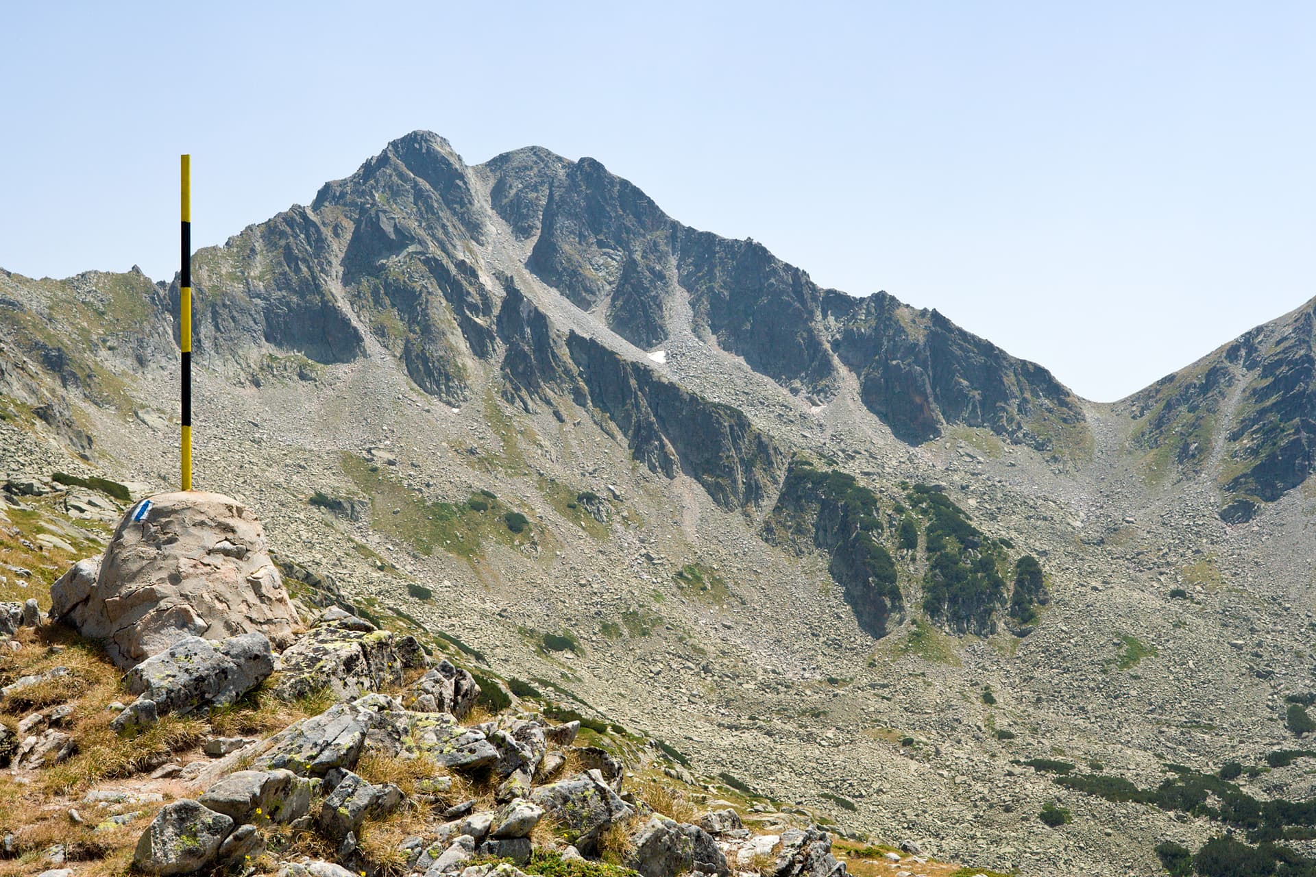
Blagoevgrad region
0.6 km away
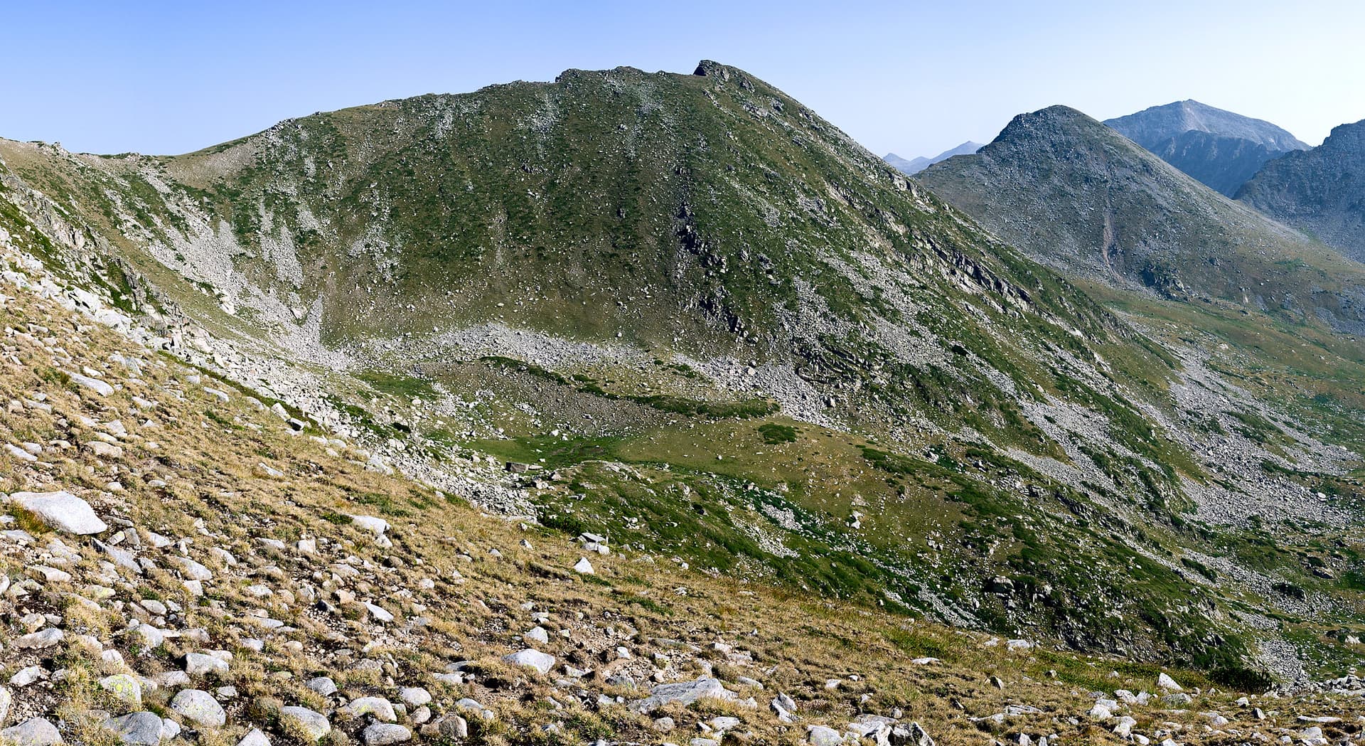
Blagoevgrad region
1.1 km away
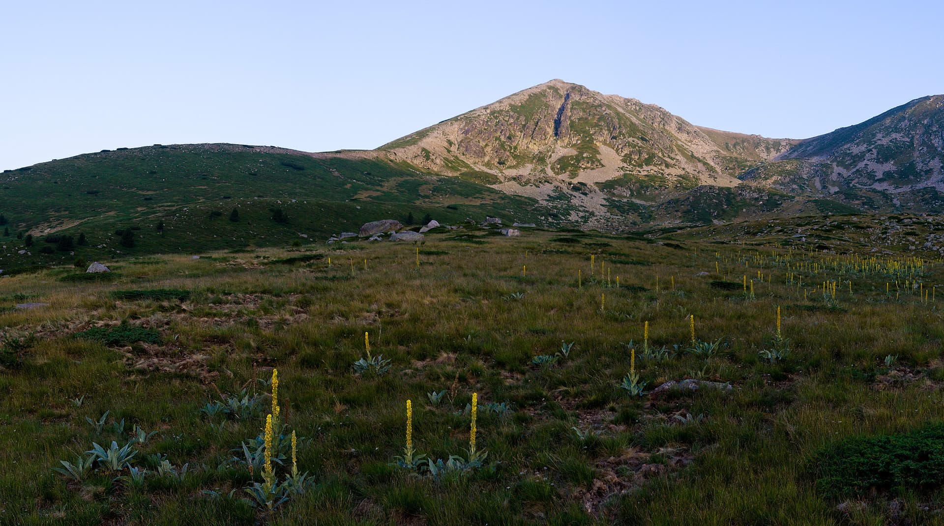
Blagoevgrad region
1.7 km away
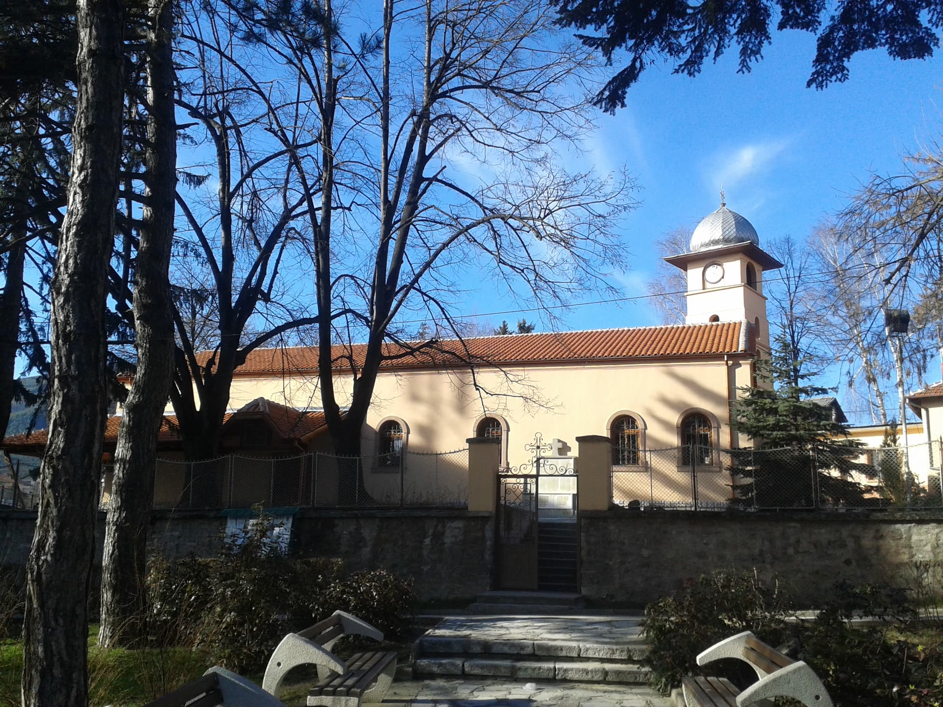
Blagoevgrad region
1.8 km away
Dobrinishte – Melnik is located in Blagoevgrad, Bulgaria.
Dobrinishte – Melnik is most easily reached by car. Use the coordinates above to navigate, or open the location in OpenStreetMap or your preferred maps app for turn-by-turn directions. Public transport options vary by region — for remote destinations a rental car gives the most flexibility.
Dobrinishte – Melnik is best walked from May through October, when the trail is clear of snow and weather is generally stable. Summer middays can be hot at lower altitudes — start early. Winter walking requires proper gear and route knowledge.
Suitability depends on the specific route. Bulgarian trails range from paved family-friendly paths to multi-day high-mountain crossings. Check the length, elevation gain, and surface before setting off. Sturdy footwear, water, and a basic map (offline or paper) are essential even on short walks.



