The route links Yavorov hut (1,740 m) in northern Pirin with Kamenitishki Pass (about 2,670 m) on the main ridge. It is about 7 km long and waymarked in blue. The whole route lies in Pirin National Park.
From the hut, follow the green waymarks towards Yavorova Polyana and turn onto the blue ones after about 1 km. The path crosses the western half of the Bayuva Dupka cirque, between the Sabite and Sredonosa ridges, and comes out on Kamenitishki Pass — the saddle between Kamenitsa peak (2,726 m) and Bayuvi Dupki peak. On the pass it joins the red-marked path from Yavorov hut to Vihren hut; the so-called Kaiser’s Road also ends there. The pass is about 3.5–4 hours from the hut.
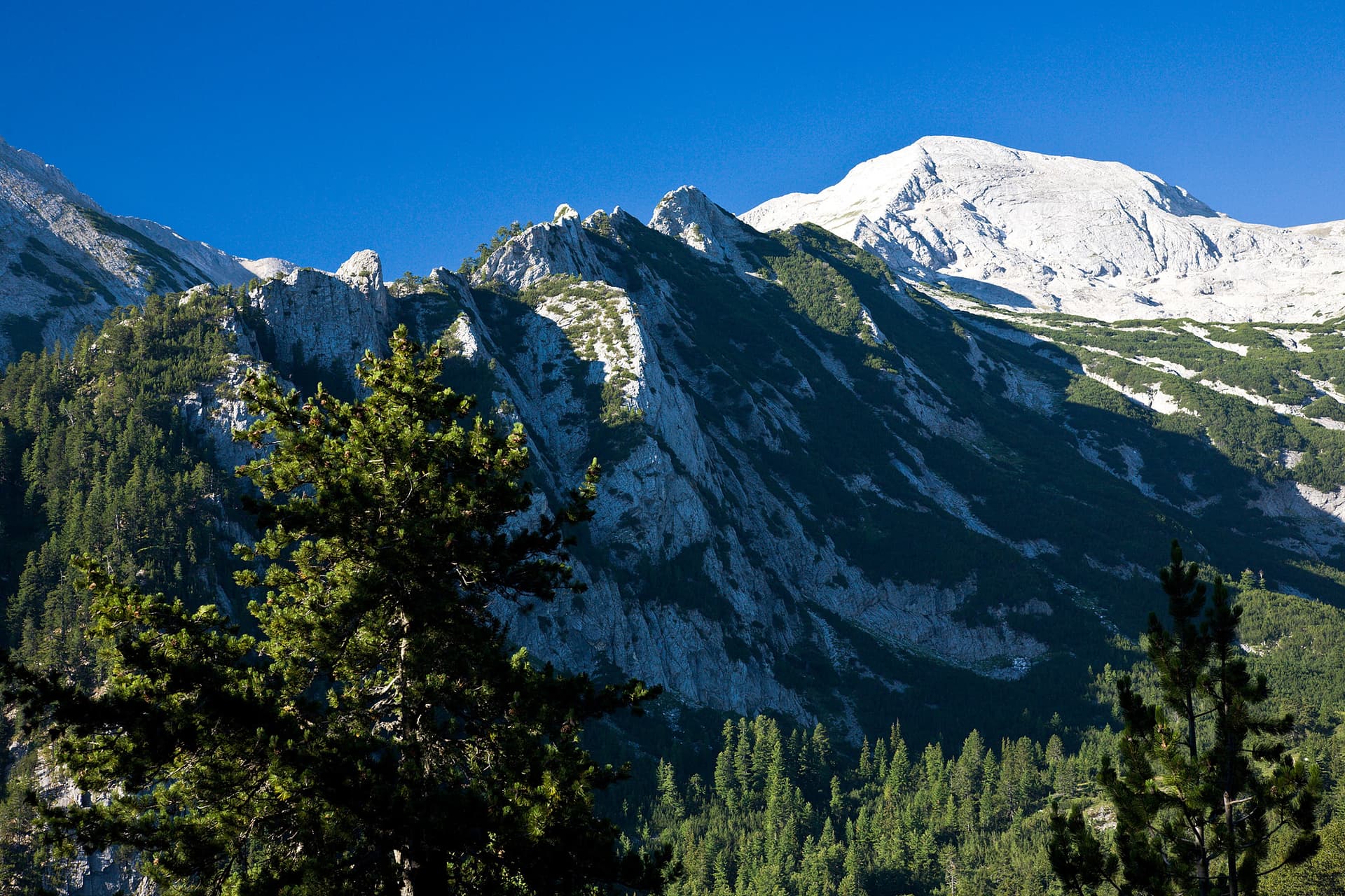
The first half of the way is in forest, the second on alpine meadows above it, through the Pogledets area. Up here the marble part of the main ridge begins: Kamenitsa is built of Proterozoic marble and lies in the Bayuvi Dupki – Dzhindzhiritsa reserve. From the pass the red waymarks continue to Koncheto and Vihren.
The path is old and poorly maintained. In places the waymarks are missing and cannot be relied on alone, and higher up there is scrub that makes the going hard. The slope steepens gradually and is steepest below the Sabite slopes. The climb from the hut to the pass is about 930 m, and there is no water on the way. This is a high-mountain hike for experienced walkers with a map or GPS, not a family walk. The north-eastern slopes of Kamenitsa are prone to avalanches.
The starting point is Yavorov hut. From Razlog it is about 4 hours on foot past the Betolovoto area, and from the park entrance at Betolovoto about 1.5 hours. The hut has a restaurant and a snack bar; next to it is the All Saints chapel, consecrated in 2016.

Blagoevgrad region
1.7 km away
Blagoevgrad region
1.7 km away
Blagoevgrad region
1.9 km away
Blagoevgrad region
2.9 km away
Yavorov Hut – Kamenitishki Pass is located in Blagoevgrad, Bulgaria.
Yavorov Hut – Kamenitishki Pass is most easily reached by car. Use the coordinates above to navigate, or open the location in OpenStreetMap or your preferred maps app for turn-by-turn directions. Public transport options vary by region — for remote destinations a rental car gives the most flexibility.
Yavorov Hut – Kamenitishki Pass is best walked from May through October, when the trail is clear of snow and weather is generally stable. Summer middays can be hot at lower altitudes — start early. Winter walking requires proper gear and route knowledge.
Suitability depends on the specific route. Bulgarian trails range from paved family-friendly paths to multi-day high-mountain crossings. Check the length, elevation gain, and surface before setting off. Sturdy footwear, water, and a basic map (offline or paper) are essential even on short walks.