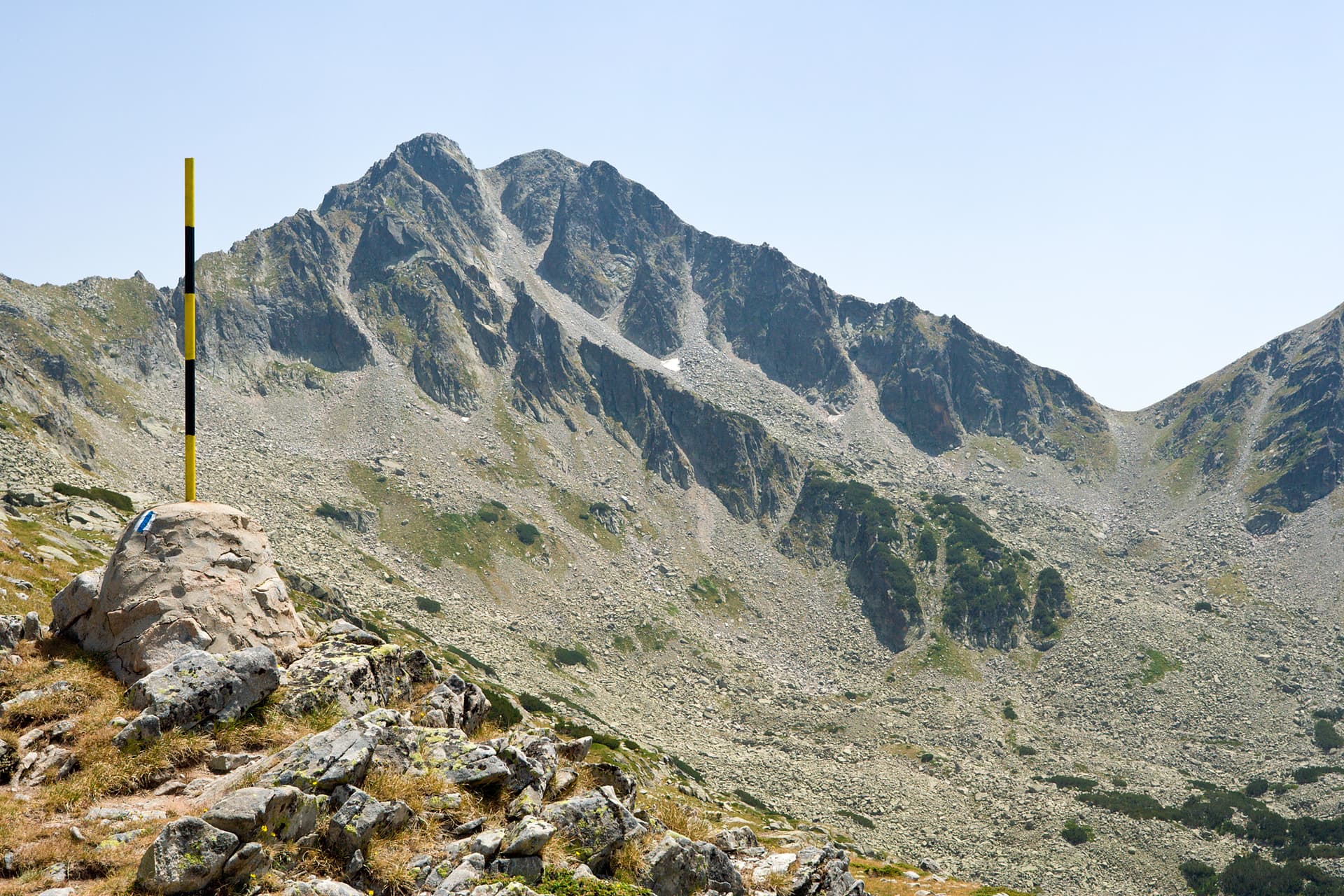
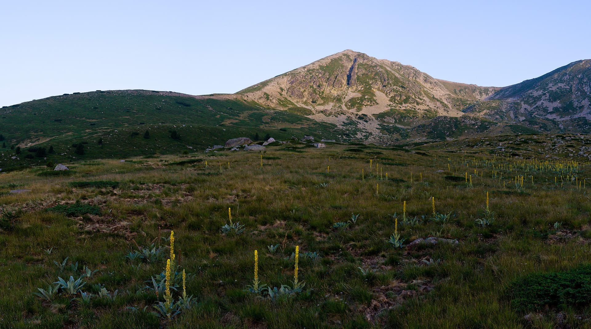
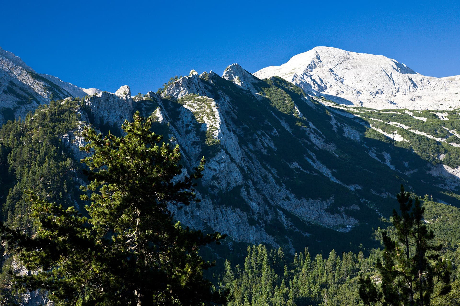
Albutin Peak is a dominant mass on the main ridge of the Pirin Mountains, located between Razlozhki Suhodol and Kamenishki Peak. It is a massive grass-and-rock summit with steep slopes offering breathtaking 360-degree views. The hike from Betolovo via Yavorov Hut is long and demanding, featuring a significant elevation gain of over 1600 meters. Route Facts: - Starting Point: Betolovo area (near the town of Razlog). - Intermediate Stop: Yavorov Hut. - Elevation Gain: +1603 m. - Distance: 8.6 km. - Duration: Approx. 5 hours (one way). - Difficulty: Strenuous. Hike Highlights: The trail starts in the lush forests of the Betolovo area and reaches Yavorov Hut in about 90 minutes. From there, hikers pass the "Bunkera" shelter and enter the dwarf pine zone, leading to Suho-dolsko Lake—the last water source on the trail. The final push involves ascending the Itipitsa saddle and following the winter marking poles to the grassy plateau of the summit. Logistics: - Accommodation: To save energy, consider staying overnight at Yavorov Hut. - Transport: Betolovo is accessible by car via an asphalt road from the main Sofia-Bansko highway. If traveling by train, check the train schedule for Razlog, then take a taxi to the trailhead.

Blagoevgrad
1.4 km away
Blagoevgrad
1.9 km away
Blagoevgrad
2.2 km away
Albutin is located in Blagoevgrad, Bulgaria.
Albutin is most easily reached by car. Use the coordinates above to navigate, or open the location in OpenStreetMap or your preferred maps app for turn-by-turn directions. Public transport options vary by region — for remote destinations a rental car gives the most flexibility.
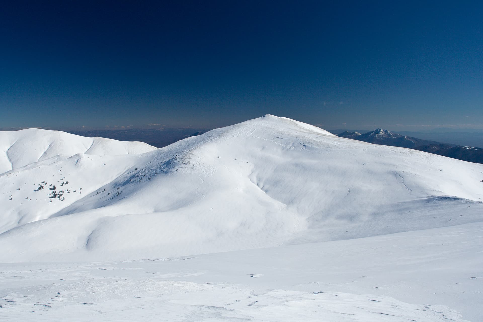
Late spring through early autumn (May–September) is best for Albutin, when trails are clear of snow and weather is most stable. Higher peaks may hold snow into June and see fresh snow as early as October. Winter visits are for experienced mountaineers with proper gear.
Albutin reaches an elevation of 2,688 metres above sea level.
Hiking boots, layered clothing, water (1.5–2 L per person), sun protection, and a windproof jacket — mountain weather changes quickly. For longer routes also bring a map (paper or offline), a head torch, and emergency rations. Tell someone your planned route and expected return time.