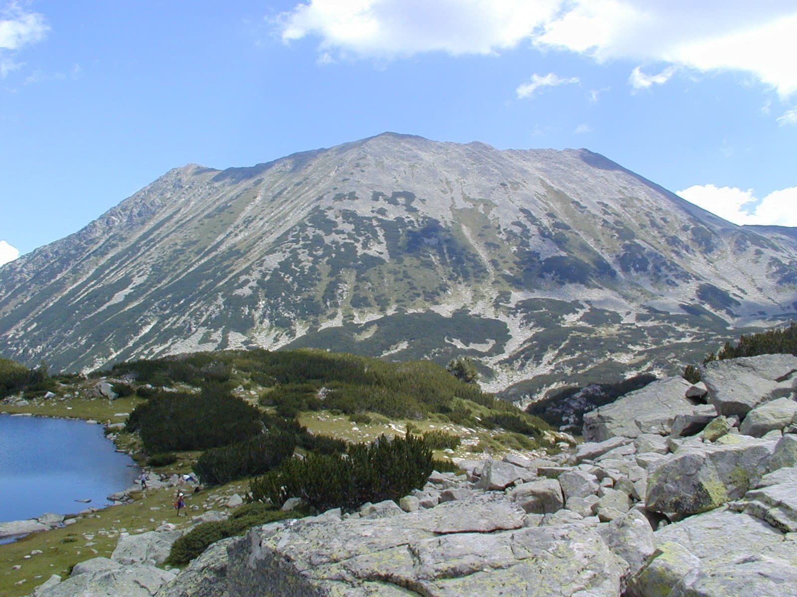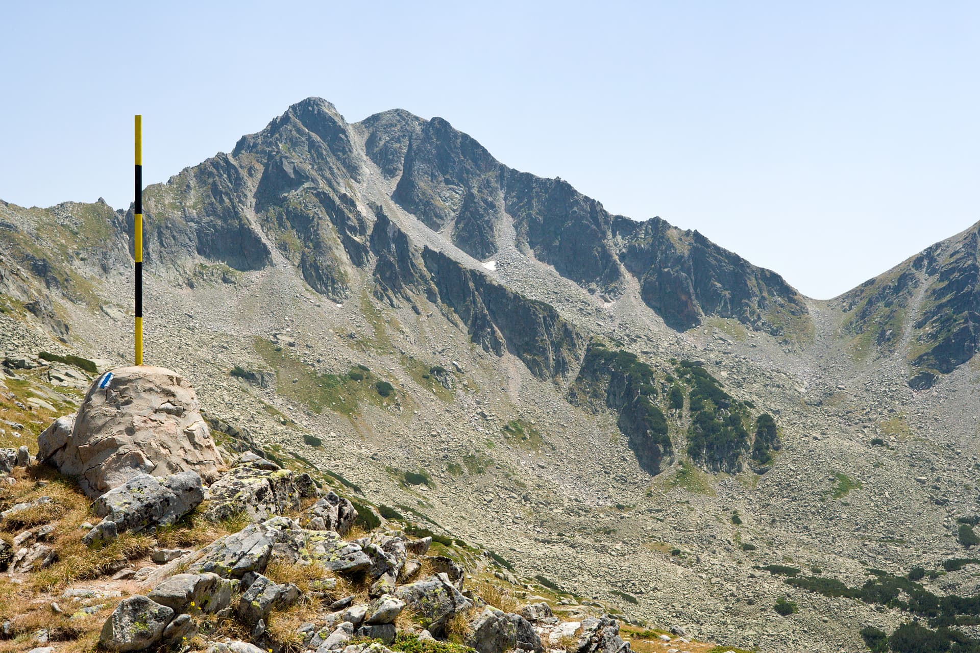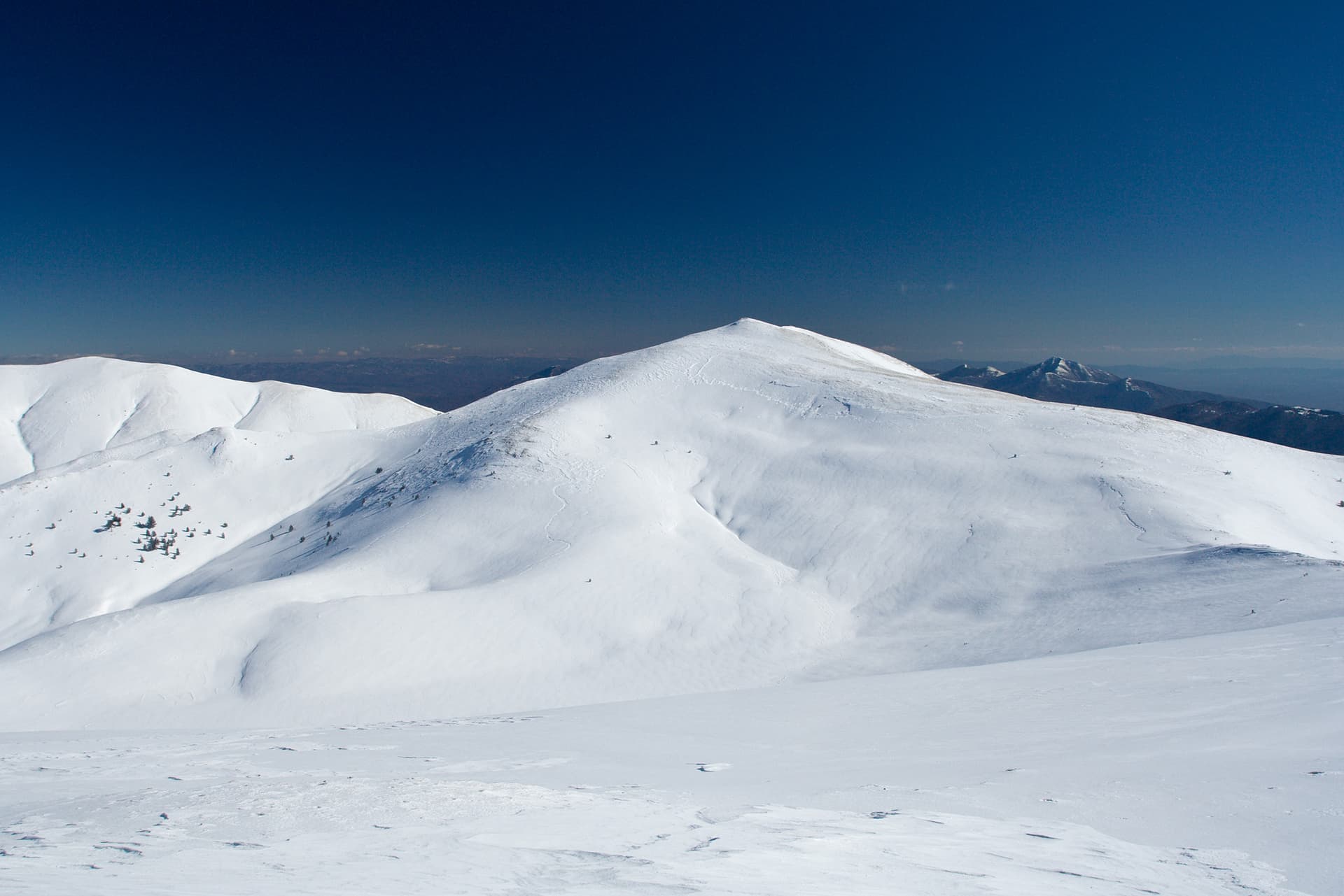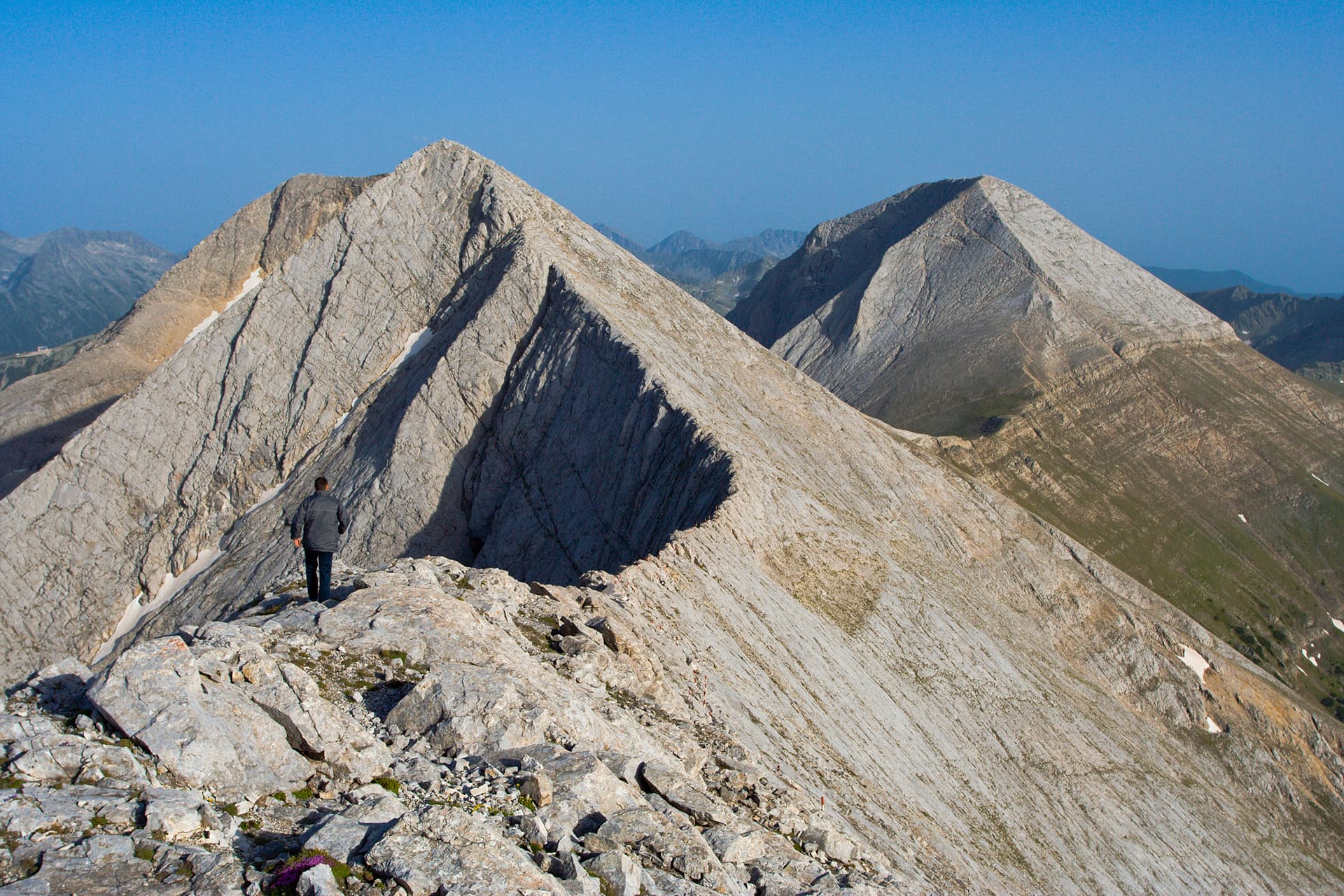
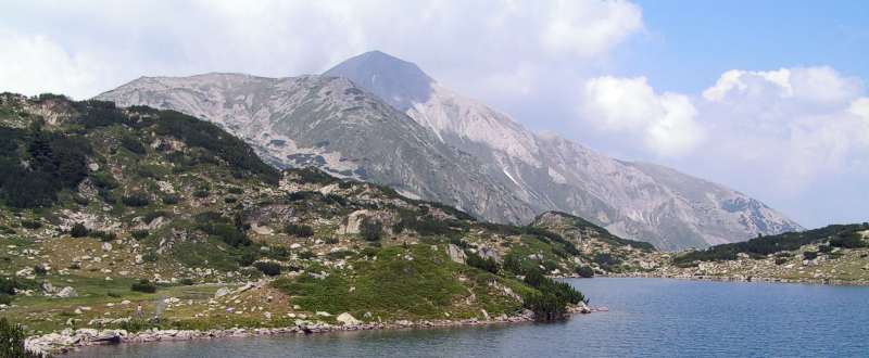
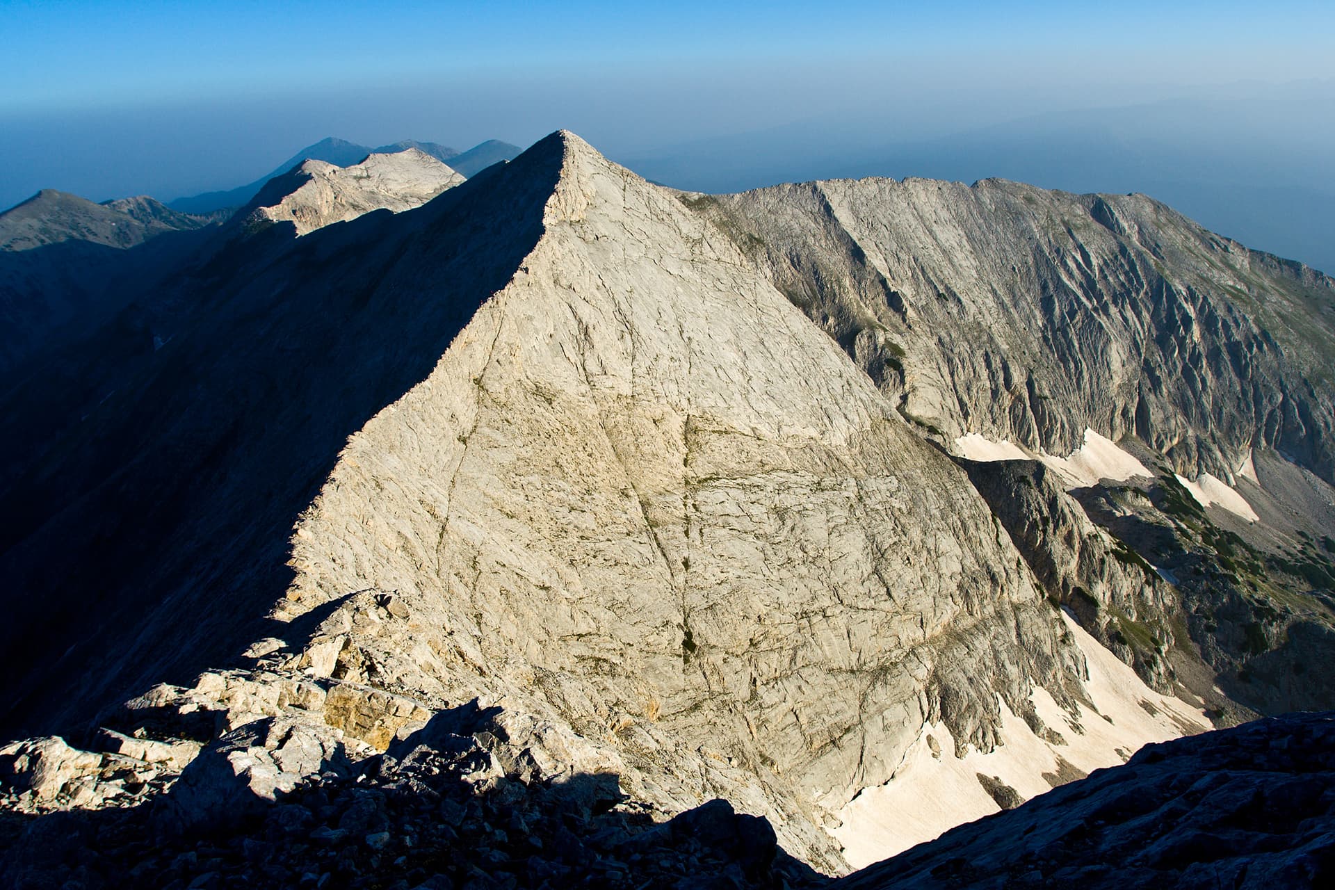
Kutelo, one of the majestic peaks of Pirin, rising to 2908 meters above sea level, is the second-highest point in the mountain and third in Bulgaria. Located in the northern part of Pirin, within Bansko municipality, Blagoevgrad region, it is part of the famous karst ridge. Kutelo boasts an exceptionally alpine character – with its steep slopes, rocky edges, and extensive scree fields, it offers a significant challenge for any serious mountaineer.
The ascent to Kutelo is an unforgettable experience, rewarding climbers with breathtaking panoramic views. From the summit, a magnificent panorama unfolds towards the neighboring peaks of Vihren and Banski Suhodol, as well as the serrated ridge of Koncheto, which is often part of the route to Kutelo. On a clear day, the horizon stretches far and wide, revealing the full beauty of Pirin, Rila, and even the Rhodopes. The area is home to rare plant species, including the iconic edelweiss, which thrives on the limestone cliffs.
Kutelo is a destination for experienced hikers seeking thrilling adventures and an immersion in wild nature. The trails are well-marked but demand good physical fitness and appropriate equipment, especially when traversing high-altitude sections. The peak is often included in longer treks along the main Pirin ridge and is a must-stop for those aiming to conquer the highest points of the mountain. A visit to Kutelo is a journey into the heart of Pirin, leaving lasting memories of the grandeur of Bulgarian nature.

Blagoevgrad region
0.8 km away

Blagoevgrad region
1.0 km away
Blagoevgrad region
1.1 km away
Blagoevgrad region
1.1 km away
Kutelo is located in Blagoevgrad, Bulgaria.
Kutelo is most easily reached by car. Use the coordinates above to navigate, or open the location in OpenStreetMap or your preferred maps app for turn-by-turn directions. Public transport options vary by region — for remote destinations a rental car gives the most flexibility.
Late spring through early autumn (May–September) is best for Kutelo, when trails are clear of snow and weather is most stable. Higher peaks may hold snow into June and see fresh snow as early as October. Winter visits are for experienced mountaineers with proper gear.
Kutelo reaches an elevation of 2,908 metres above sea level.
Hiking boots, layered clothing, water (1.5–2 L per person), sun protection, and a windproof jacket — mountain weather changes quickly. For longer routes also bring a map (paper or offline), a head torch, and emergency rations. Tell someone your planned route and expected return time.