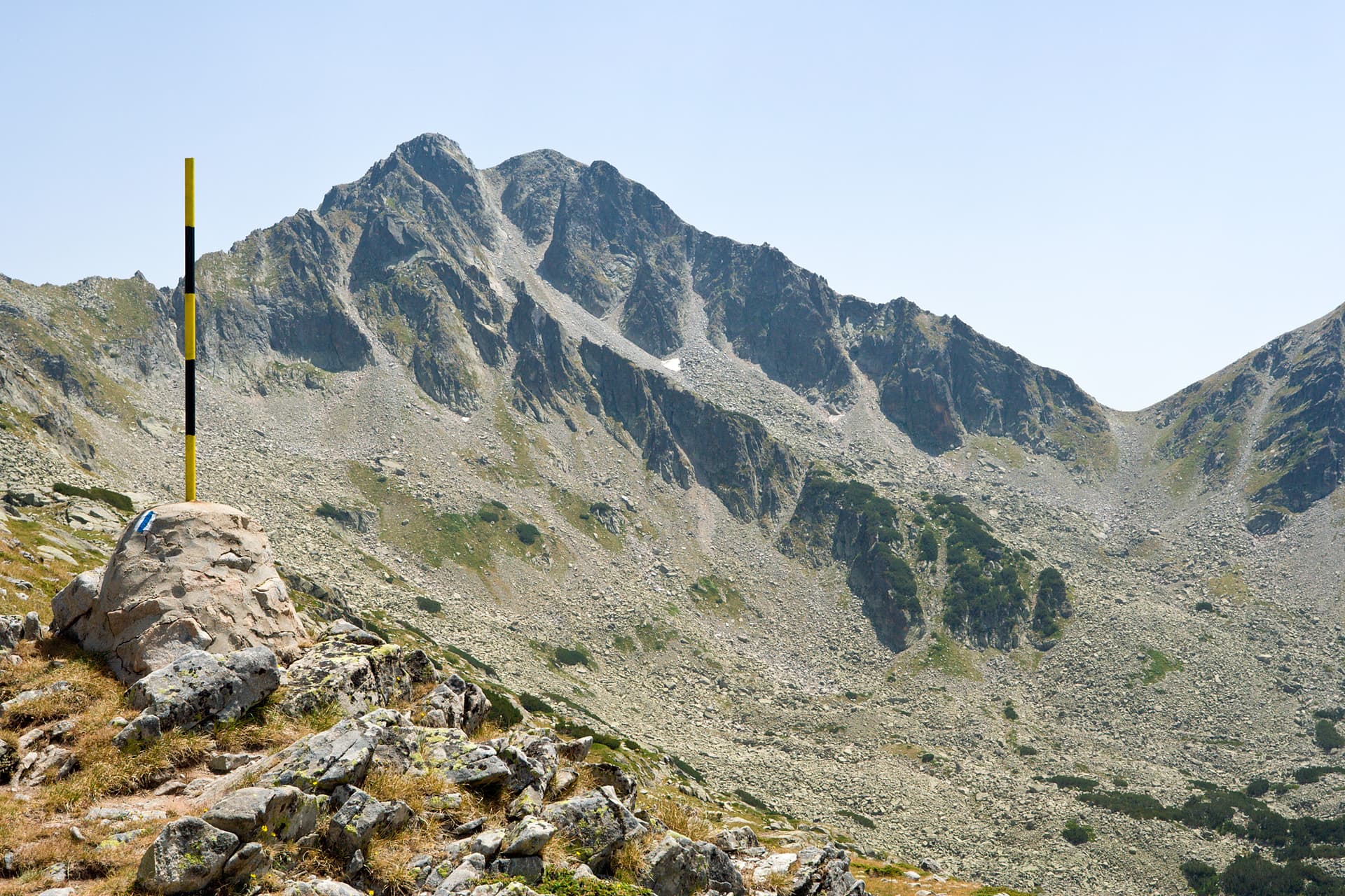
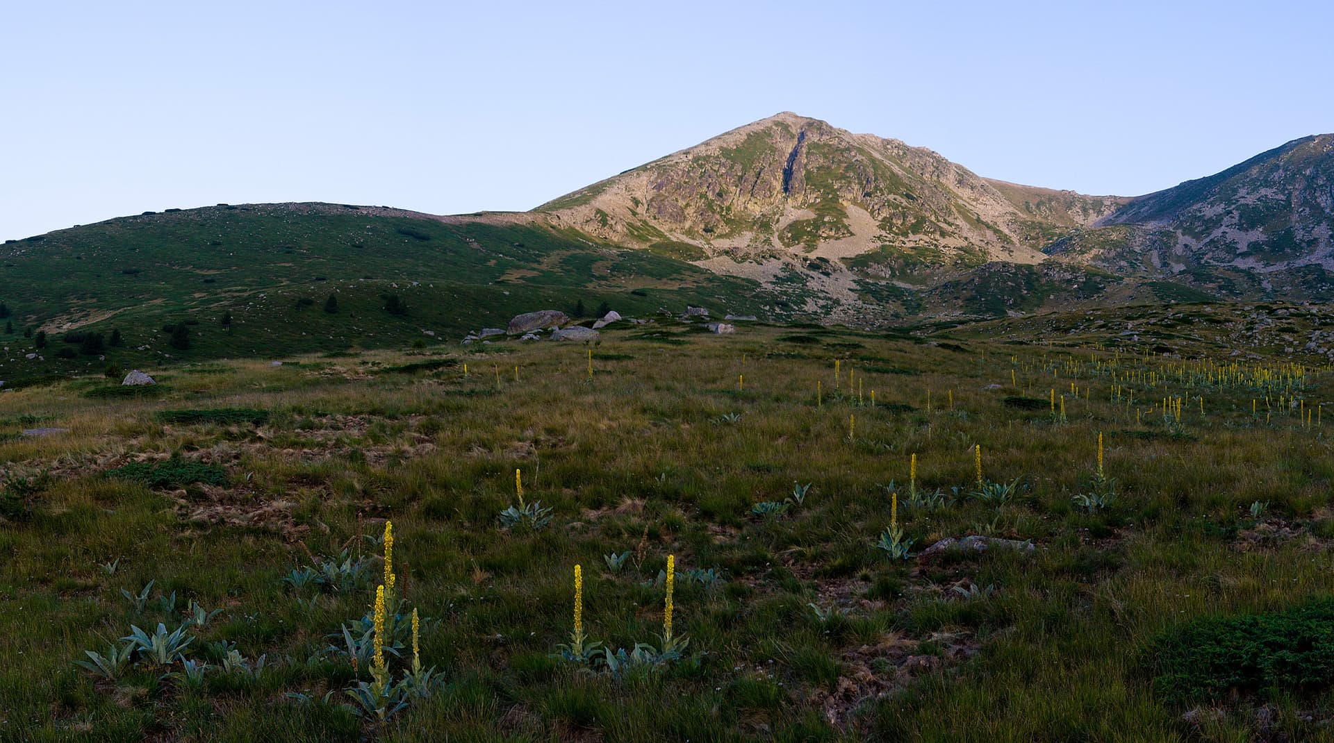
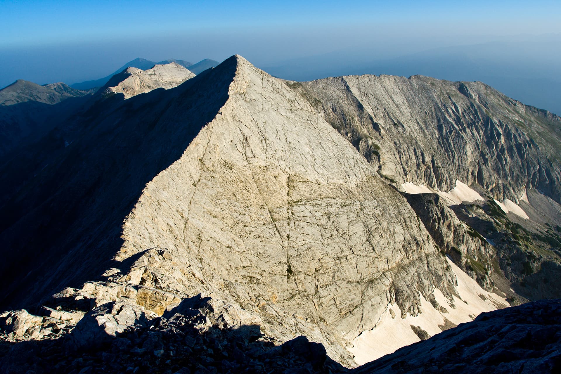
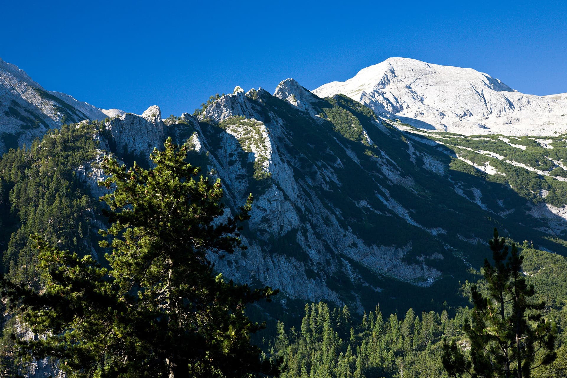
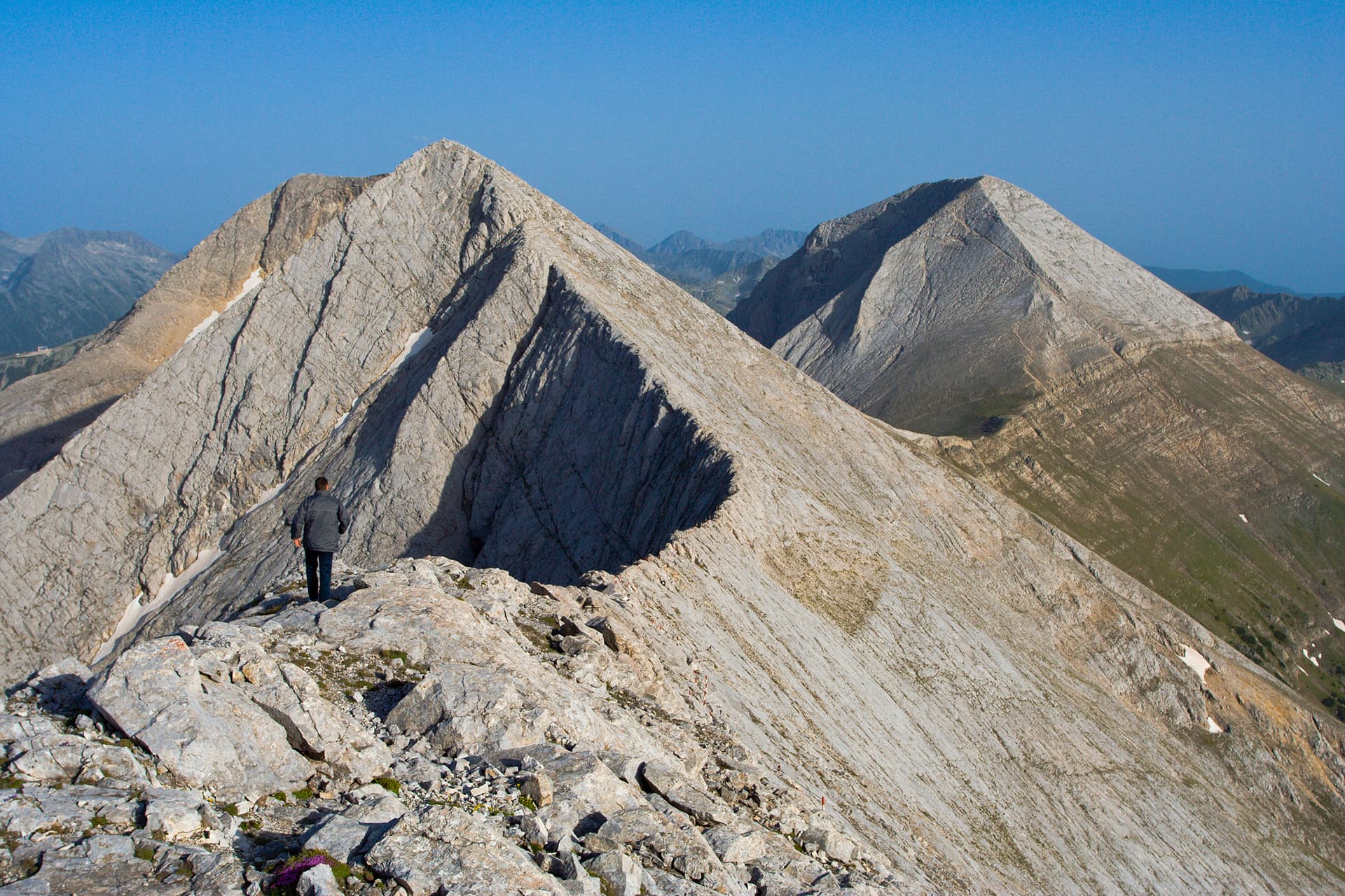
Banski Suhodol is the third-highest peak in the Pirin Mountains (standing at 2884 m). Located in the northern part of the range, it is a key summit of the majestic Marble Ridge. Known for its sheer cliffs and dizzying views, it offers one of the most thrilling alpine experiences in Bulgaria. Landscape and Alpine Features The peak is defined by its rugged, karst topography and extreme slopes: - The Koncheto Ridge: To the southeast, Banski Suhodol is connected to Kutelo Peak by the world-famous Koncheto (The Little Horse). This is a breathtaking limestone ridge, in some places only 70 cm wide, with vertical drops on both sides. - The Northeast Wall: A massive, 300-meter vertical marble wall drops into the Banski Suhodol cirque. This wall is a legendary destination for Bulgarian alpinists, and snow remains at its base throughout the entire year. - The Southwest Slope (Straneto): This side descends nearly 1000 meters down toward the Vlahinska River valley. Although less steep than the northeast face, the elevation drop creates an unforgettable and imposing sight. Panoramic Views Standing on the summit provides a 360-degree theater of Pirin’s most iconic landmarks: - To the south, you can see the marble giants Vihren and Kutelo. - To the west, the view overlooks the crystal-clear Vlahinski Lakes and the sharp "marble tooth" of Sinanitsa Peak. - To the north, the ridge continues toward the Bayuvi Dupki Peak and the jagged Koteshki Rid (Cat’s Ridge). Practical information - Height: 2884 m (3rd highest in Pirin). - Key Feature: Connected to Kutelo Peak via the famous Koncheto ridge—a narrow limestone edge with a width of just 70 cm. - Difficulty: Strenuous/Alpine. Suitable for experienced hikers. - Best approach: From Vihren Hut or Yavorov Hut.
Blagoevgrad
0.3 km away

Blagoevgrad
0.6 km away
Blagoevgrad
1.2 km away
Blagoevgrad
1.5 km away
Banski suhodol is located in Blagoevgrad, Bulgaria.
Banski suhodol is most easily reached by car. Use the coordinates above to navigate, or open the location in OpenStreetMap or your preferred maps app for turn-by-turn directions. Public transport options vary by region — for remote destinations a rental car gives the most flexibility.
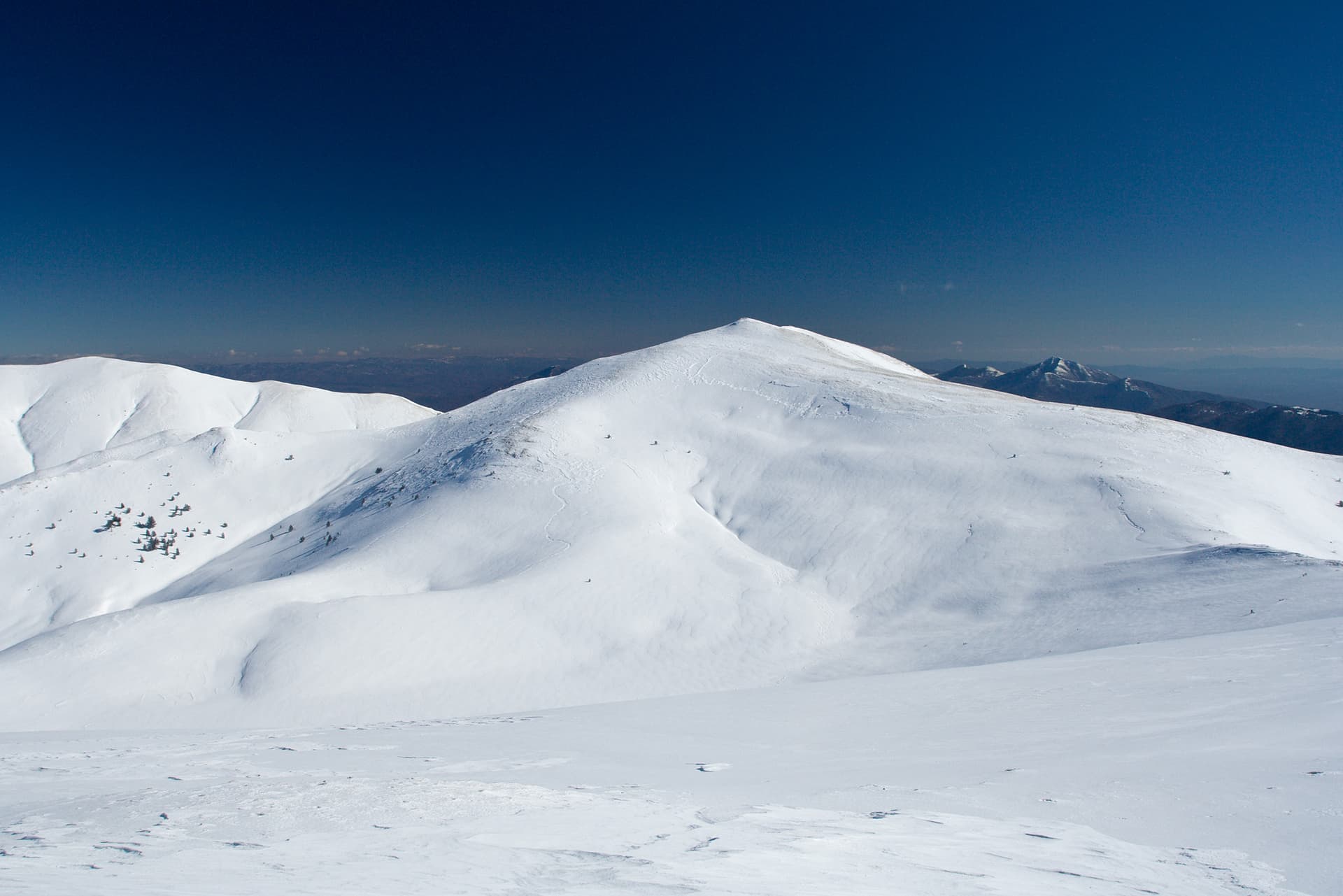
Late spring through early autumn (May–September) is best for Banski suhodol, when trails are clear of snow and weather is most stable. Higher peaks may hold snow into June and see fresh snow as early as October. Winter visits are for experienced mountaineers with proper gear.
Banski suhodol reaches an elevation of 2,884 metres above sea level.
Hiking boots, layered clothing, water (1.5–2 L per person), sun protection, and a windproof jacket — mountain weather changes quickly. For longer routes also bring a map (paper or offline), a head torch, and emergency rations. Tell someone your planned route and expected return time.