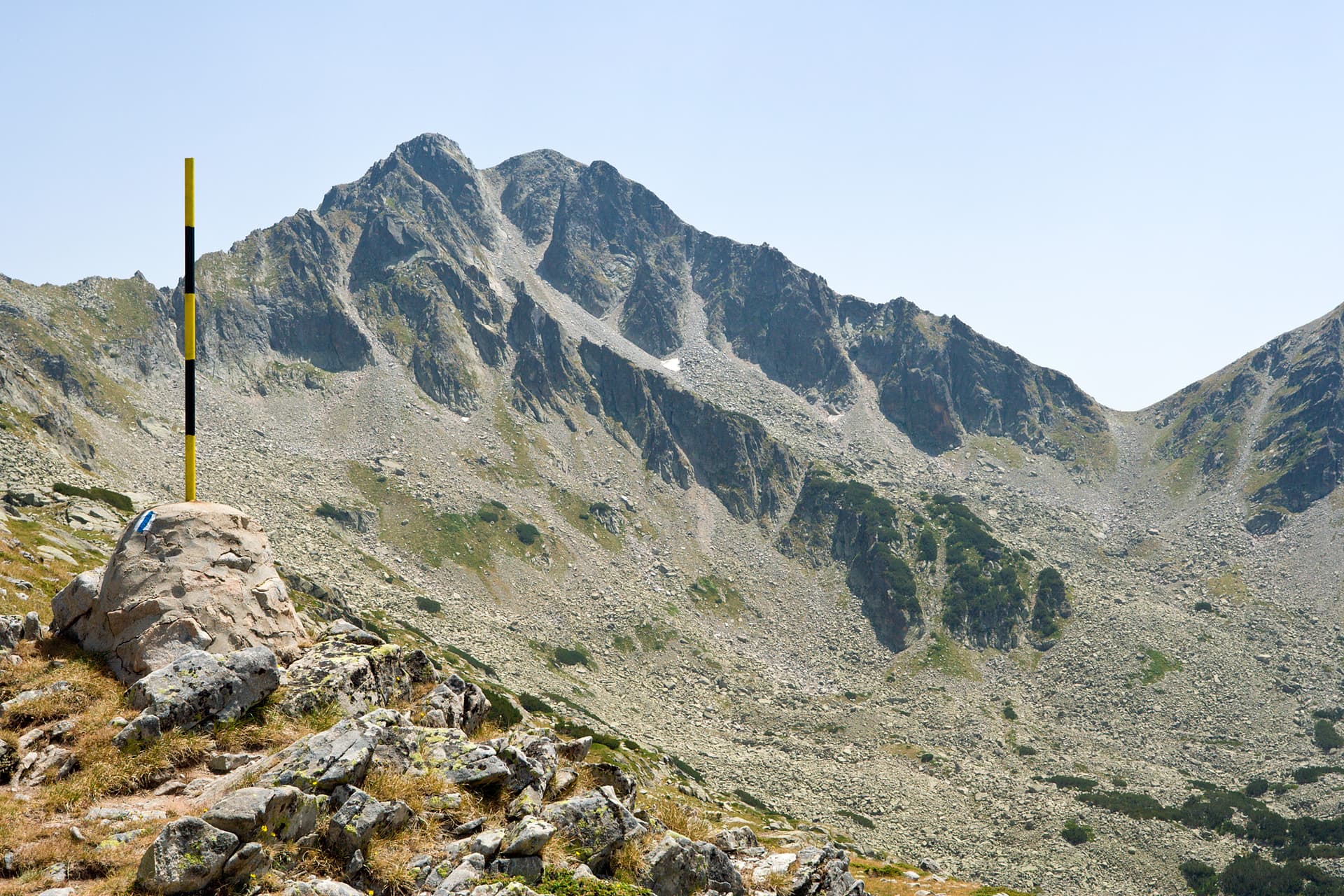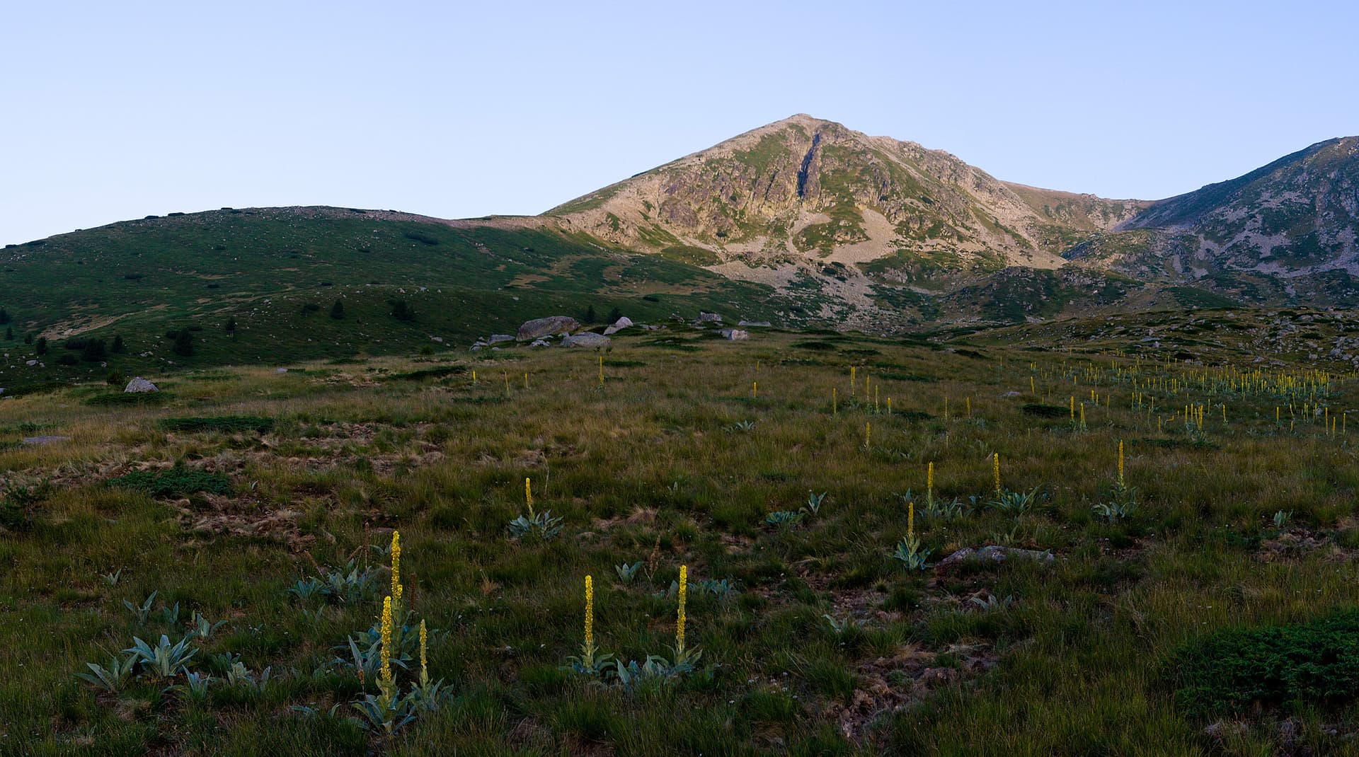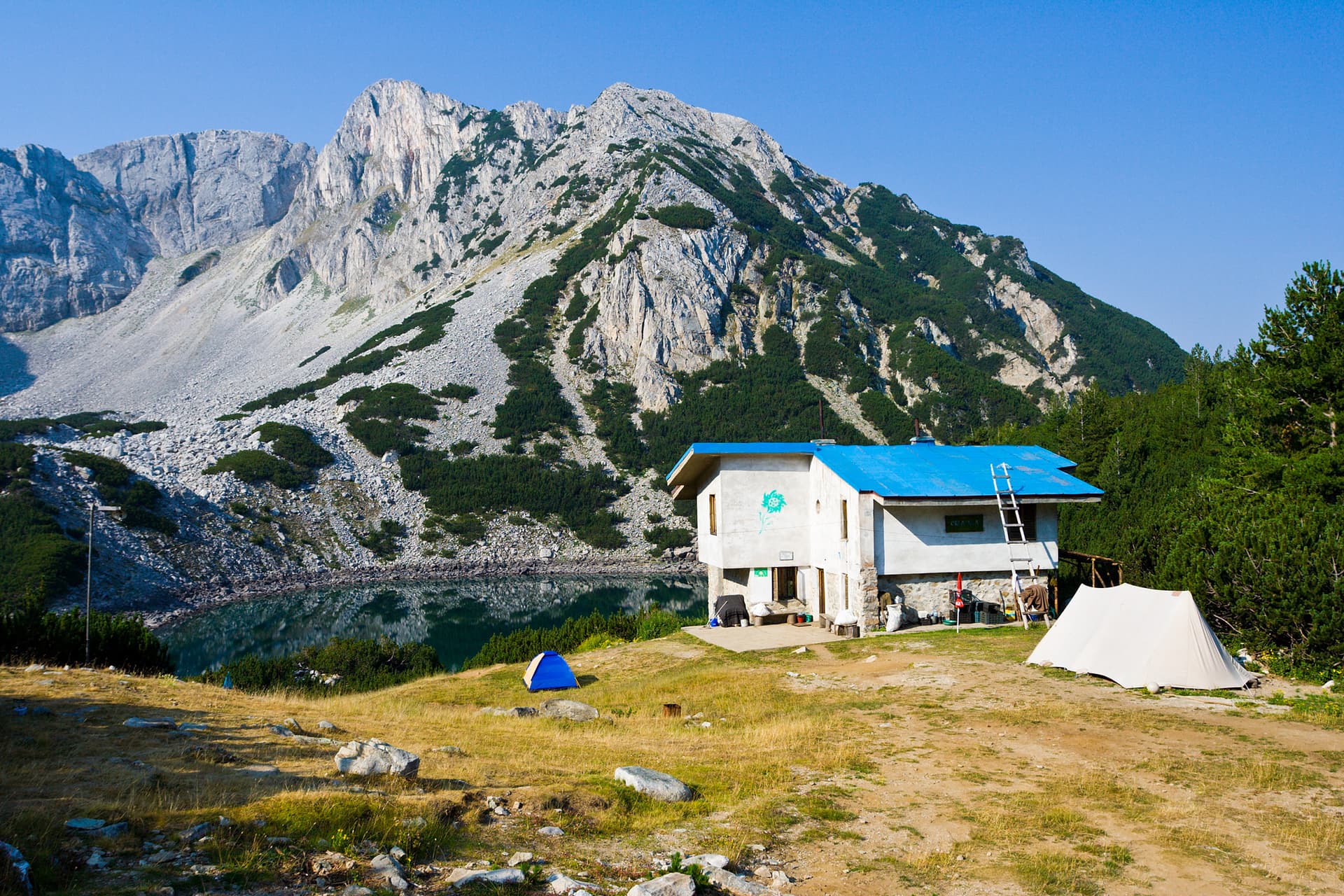
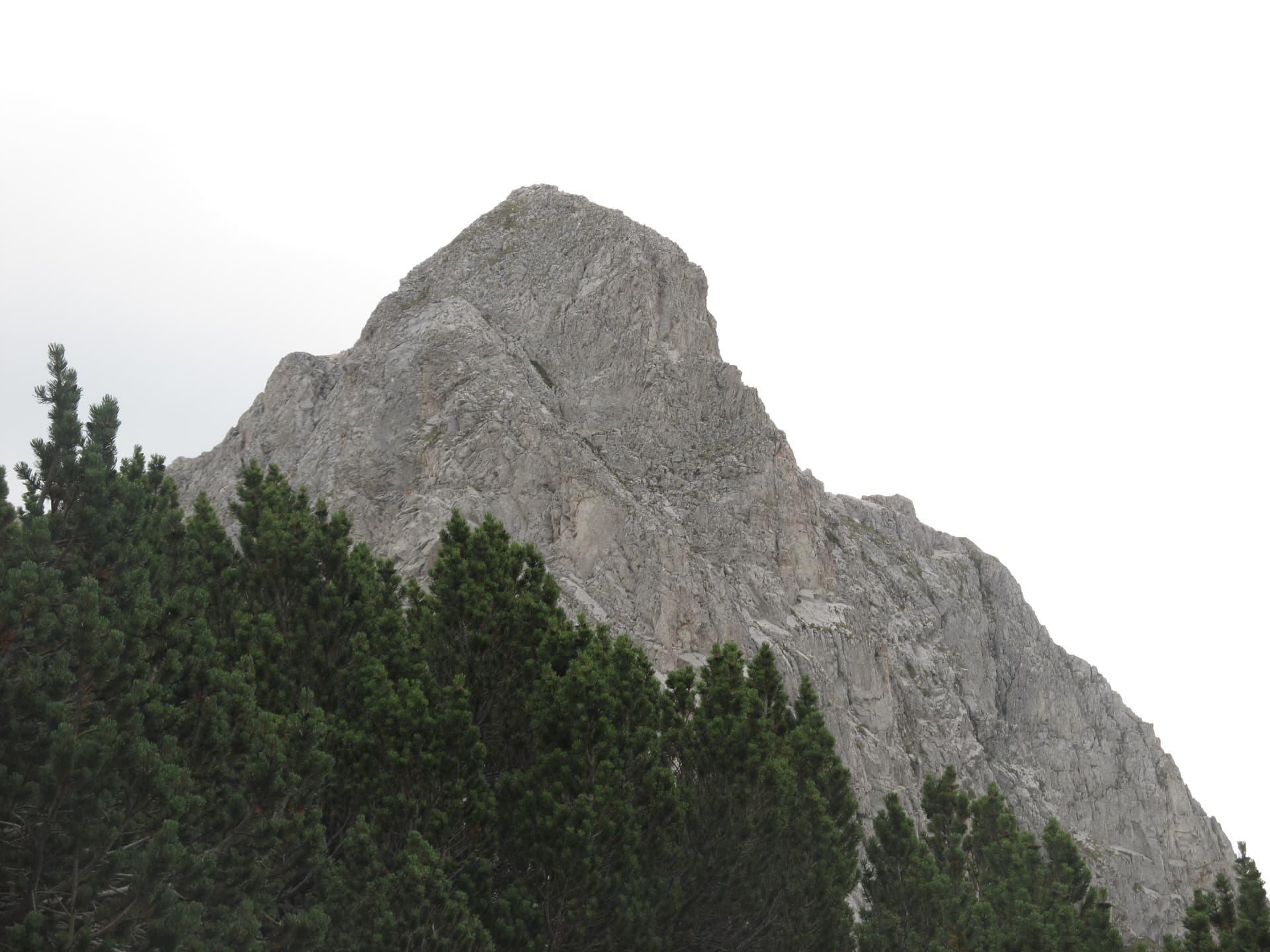
Standing at 2,516 meters, Mount Sinanitsa is undeniably one of the most beautiful and dramatic peaks in the Pirin Mountains, and all of Bulgaria. Known locally by several names, including The Split Peak (Raztsepenia Vrah) and The Limestone Crag (Varovitata Chuka), it crowns the Sinanitsa side ridge. Positioned slightly off the beaten track of Pirin's main heavy foot traffic, Sinanitsa sees fewer crowds, holding a reputation as a favorite, mystical sanctuary for seasoned mountaineers. Peak Anatomy: Pink Marble and Vertical Walls The peak’s distinct geological structure gives it a highly recognizable, sharp aesthetic: - The Silhouette: When viewed from the southwest (such as from the town of Sandanski), Sinanitsa displays a prominent, cloven appearance that makes it instantly identifiable. The entire massif is composed of brilliant, rose-grey marble. - A Mountaineering Legend: The northeastern face of Sinanitsa drops into an intimidating, vertical 200-meter wall, serving as a classic European class "A" alpine climbing location. It was conquered for the first time on July 12, 1949, by Andrey Todorov and Vasil Nastev. The grueling first winter ascent was achieved on April 27, 1955, by Encho Petkov and Yordan Machirski. Hiking Routes and Logistics On clear days, the summit of Sinanitsa opens up to a breathtaking 360-degree view, sweeping from the razor-thin Koncheto ridge and Mount Vihren to the northeast, all the way to the massive block of Mount Kamenitsa to the southeast. The Main Ascent: The primary route begins at Sinanitsa Hut, located on the shore of the deep blue Sinanitsa glacial lake. The push from the hut to the summit takes about 1 hour. Connecting Trails: Sinanitsa can be woven into a multi-day trek starting from various major huts in Pirin, with hiking times ranging between 2 and 6 hours: - From Spano Pole Shelter (the shortest approach) - From Vihren Hut - From Yane Sandanski Hut - From Begovitsa (Kamenitsa) Hut
Blagoevgrad
0.9 km away

Blagoevgrad
1.9 km away
Blagoevgrad
2.9 km away
Blagoevgrad
3.1 km away
Sinanitsa is located in Blagoevgrad, Bulgaria.
Sinanitsa is most easily reached by car. Use the coordinates above to navigate, or open the location in OpenStreetMap or your preferred maps app for turn-by-turn directions. Public transport options vary by region — for remote destinations a rental car gives the most flexibility.
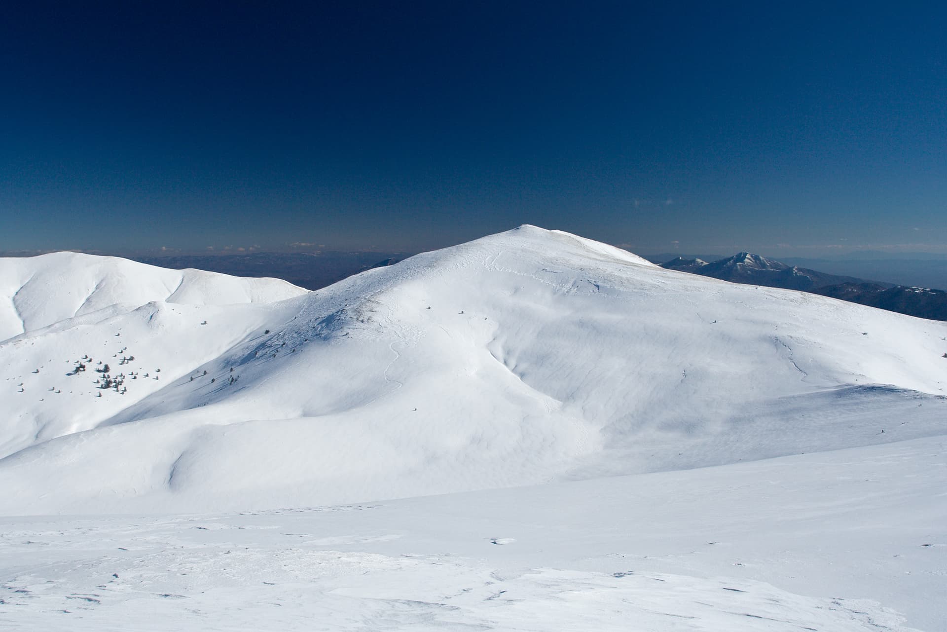
Late spring through early autumn (May–September) is best for Sinanitsa, when trails are clear of snow and weather is most stable. Higher peaks may hold snow into June and see fresh snow as early as October. Winter visits are for experienced mountaineers with proper gear.
Sinanitsa reaches an elevation of 2,516 metres above sea level.
Hiking boots, layered clothing, water (1.5–2 L per person), sun protection, and a windproof jacket — mountain weather changes quickly. For longer routes also bring a map (paper or offline), a head torch, and emergency rations. Tell someone your planned route and expected return time.