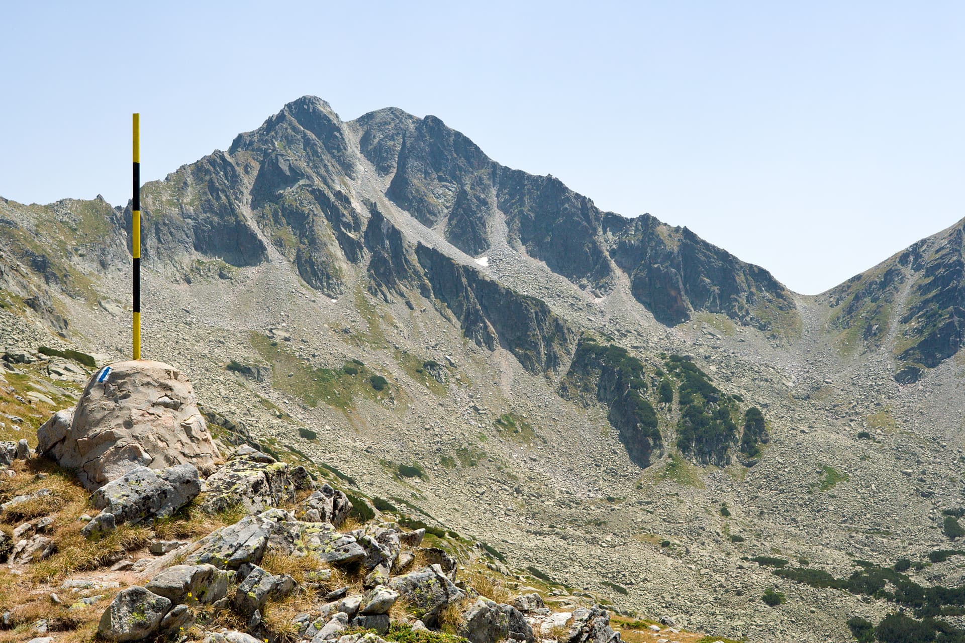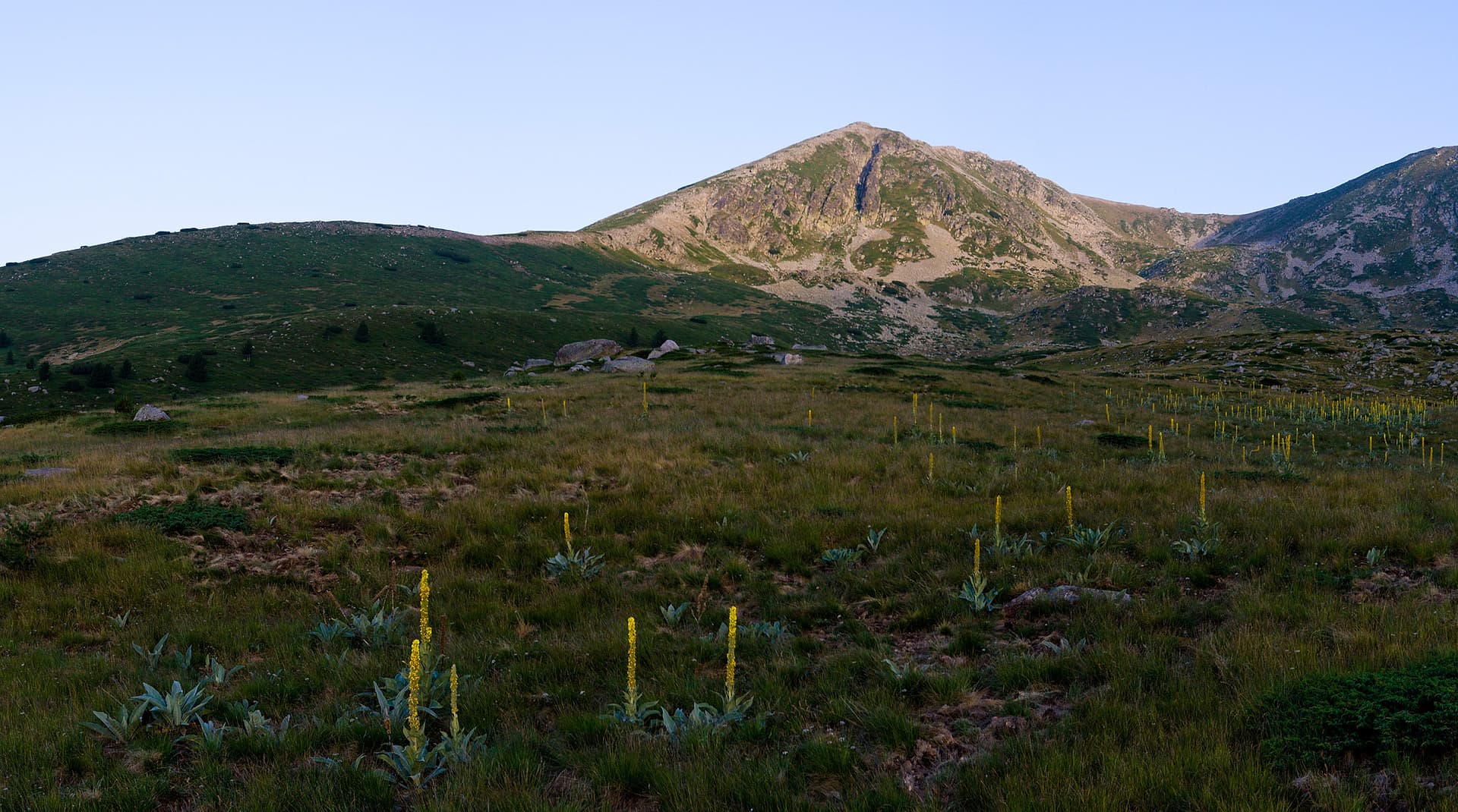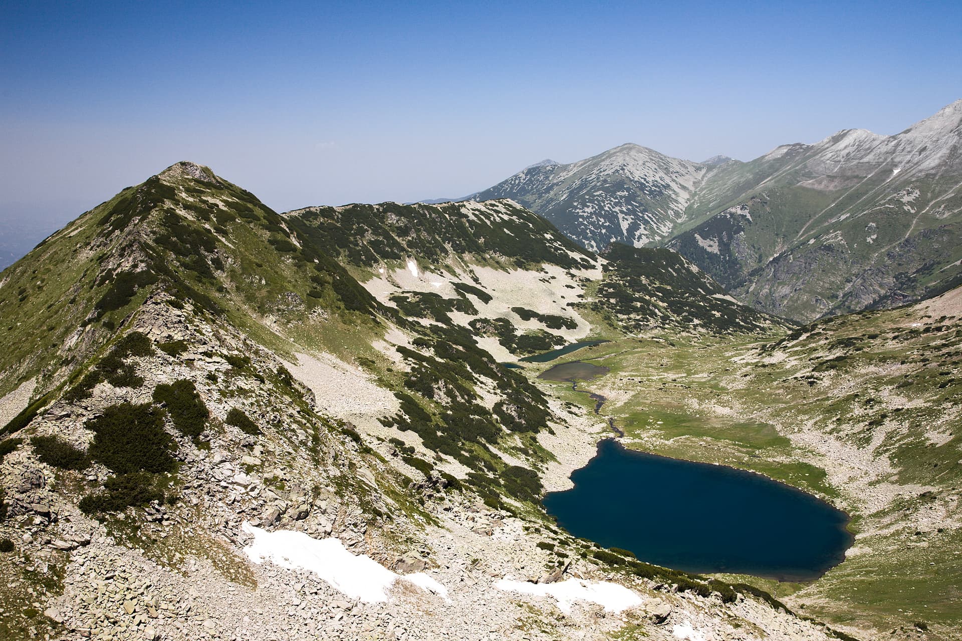
Gredaro Peak (2605 m) is a lesser-known but highly distinctive summit in the Pirin Mountains. Situated northwest of Muratov Peak, it lends its name to the entire Gredaro Ridge, which acts as a natural divide between the Vlahinska and Georgiitsa river cirques. The peak’s silhouette is remarkably versatile—appearing as a perfect cone from the south and as a massive hump from the east and west. Topography and the Gredaro Ridge The ridge branches off the Main Pirin Ridge at Muratov Peak, passing through the Muratova Premka saddle before reaching its highest point at Gredaro. - Vlahinska Chuka Peak: Located on one of the northern branches, this independent peak (2403 m) is notorious for its steep slopes covered in scree and dense dwarf pine. - Gredarski Kazan (The Cauldron): A distinct hollow on the northern slopes of the ridge, enclosed by the rugged terrain of Vlahinska Chuka. - Gredarsko Lake: A small glacial lake part of the Vlahinski Lakes group, situated southeast of Vlahinska Chuka. Hydrography and Etymology The Gredarska River originates from the western slopes of the peak, flowing through a shallow forested valley before merging into the Vlahinska River. - Origins of the Name: The name is derived from the archaic word "gryad" (gred), meaning a short ridge. Local lore also suggests a connection to "gredi" (beams/logs), referring to the historical practice of dragging timber down the snowy slopes during winter. Practical Information - Difficulty: High, due to the lack of marked trails and the presence of thick dwarf pine thickets along the ridge. - Starting Point: Vihren Hut or Banderitsa Hut (via Muratov Peak). - Best for: Experienced mountaineers seeking solitude and off-trail alpine adventures.

Blagoevgrad
1.2 km away
Blagoevgrad
1.3 km away
Blagoevgrad
1.4 km away
Blagoevgrad
1.8 km away
Gredaro is located in Blagoevgrad, Bulgaria.
Gredaro is most easily reached by car. Use the coordinates above to navigate, or open the location in OpenStreetMap or your preferred maps app for turn-by-turn directions. Public transport options vary by region — for remote destinations a rental car gives the most flexibility.
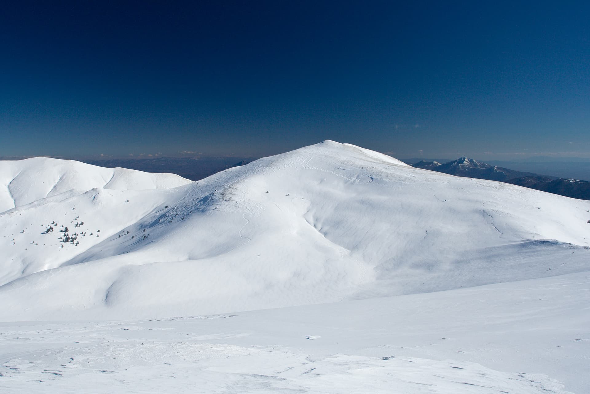
Late spring through early autumn (May–September) is best for Gredaro, when trails are clear of snow and weather is most stable. Higher peaks may hold snow into June and see fresh snow as early as October. Winter visits are for experienced mountaineers with proper gear.
Gredaro reaches an elevation of 2,605 metres above sea level.
Hiking boots, layered clothing, water (1.5–2 L per person), sun protection, and a windproof jacket — mountain weather changes quickly. For longer routes also bring a map (paper or offline), a head torch, and emergency rations. Tell someone your planned route and expected return time.