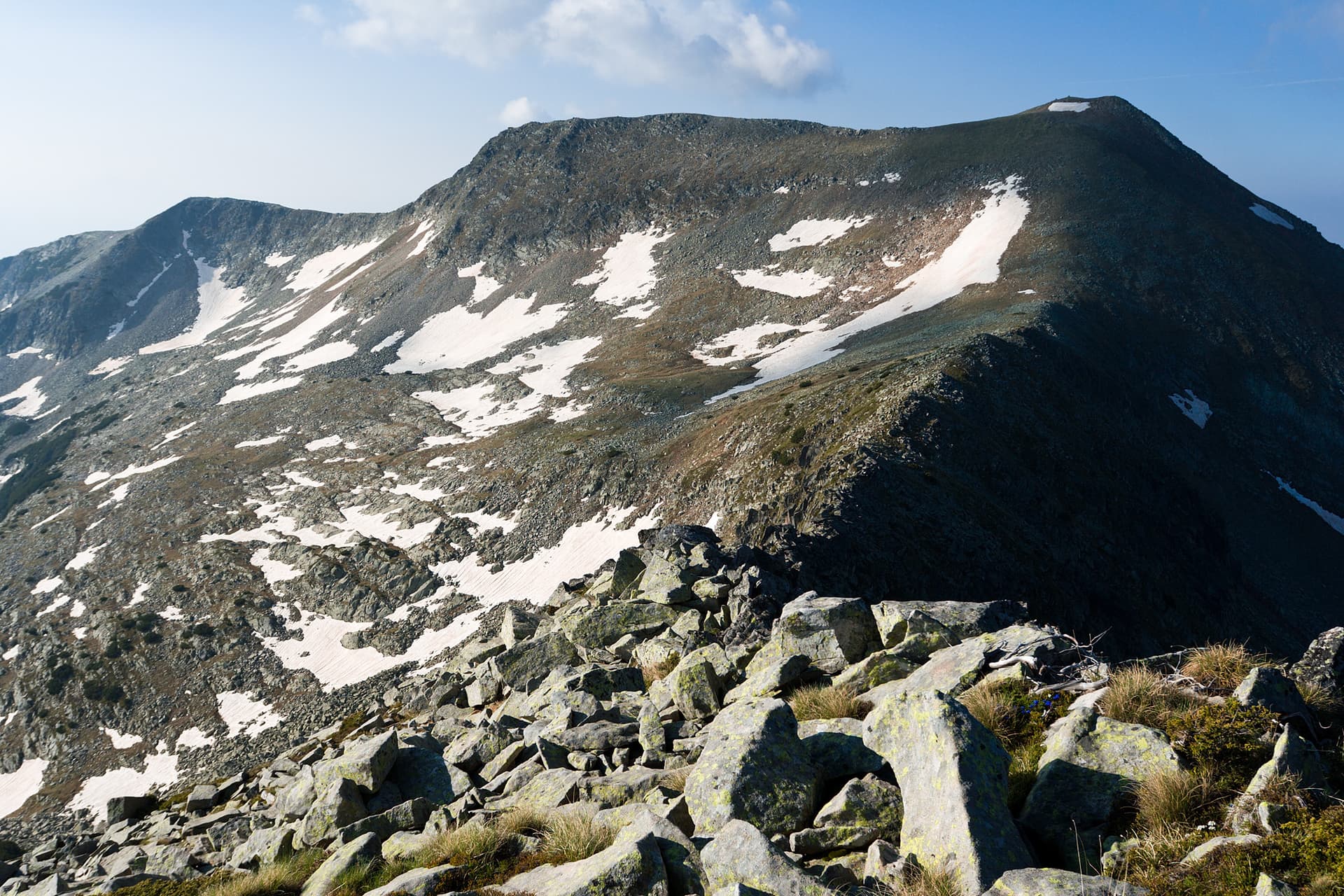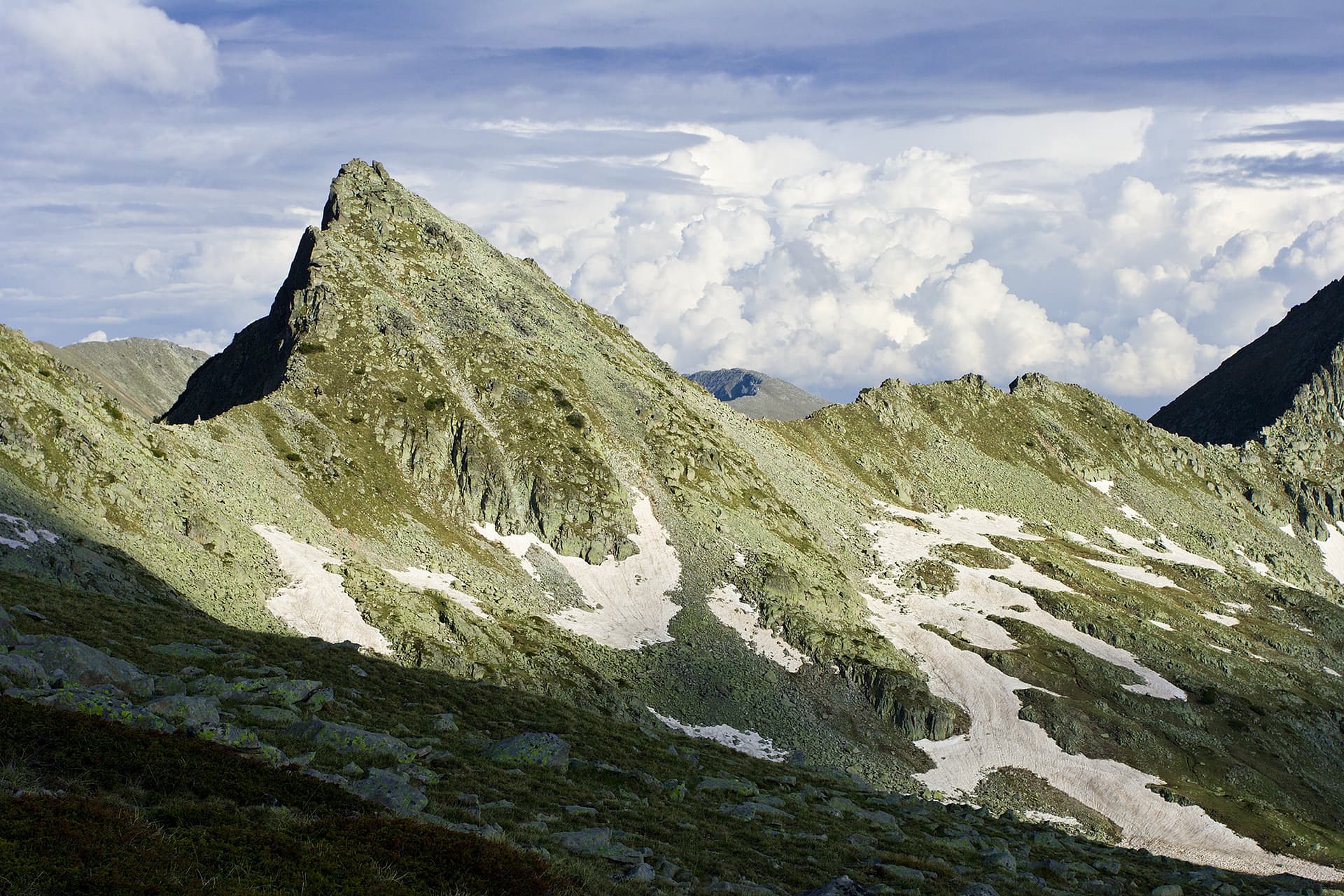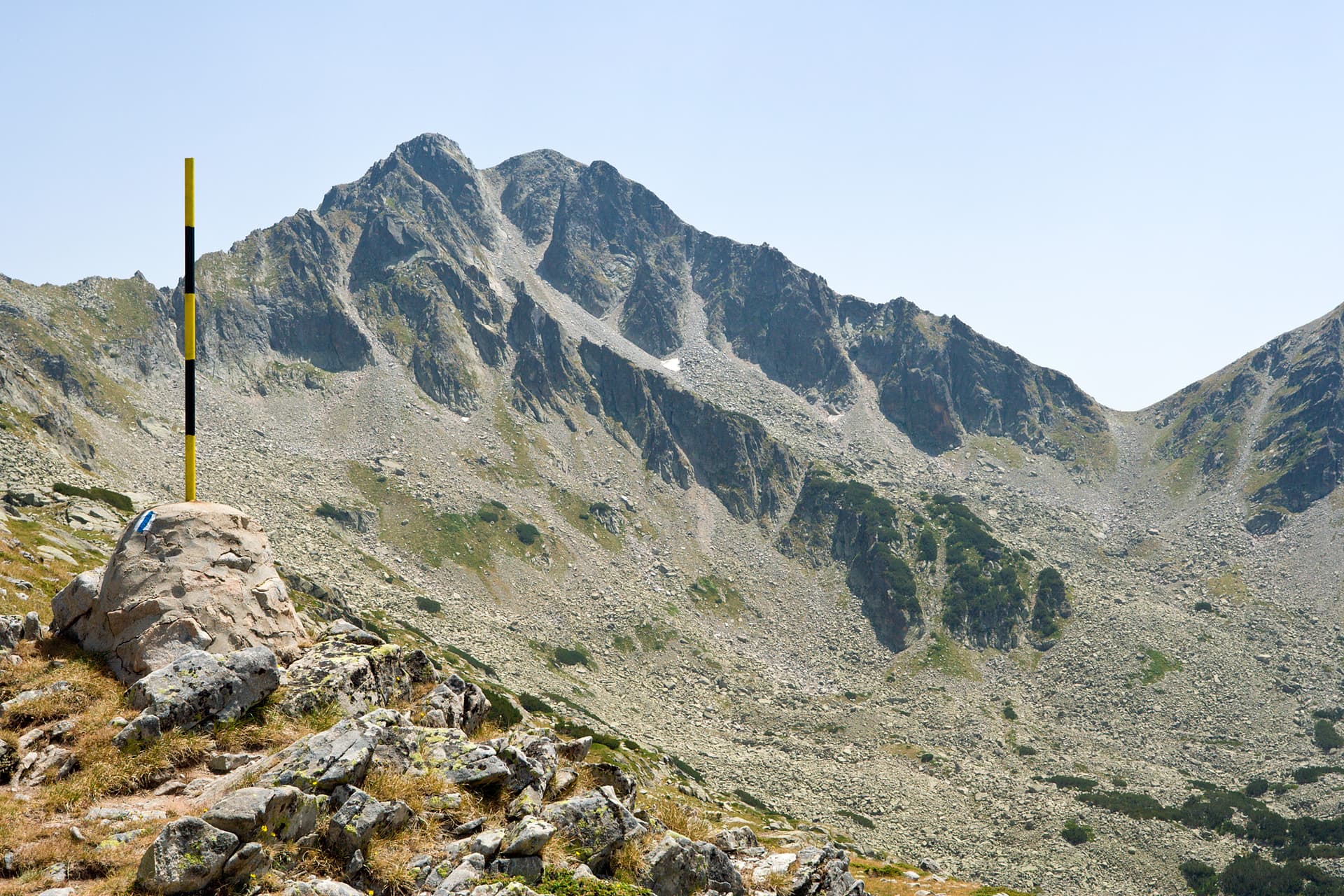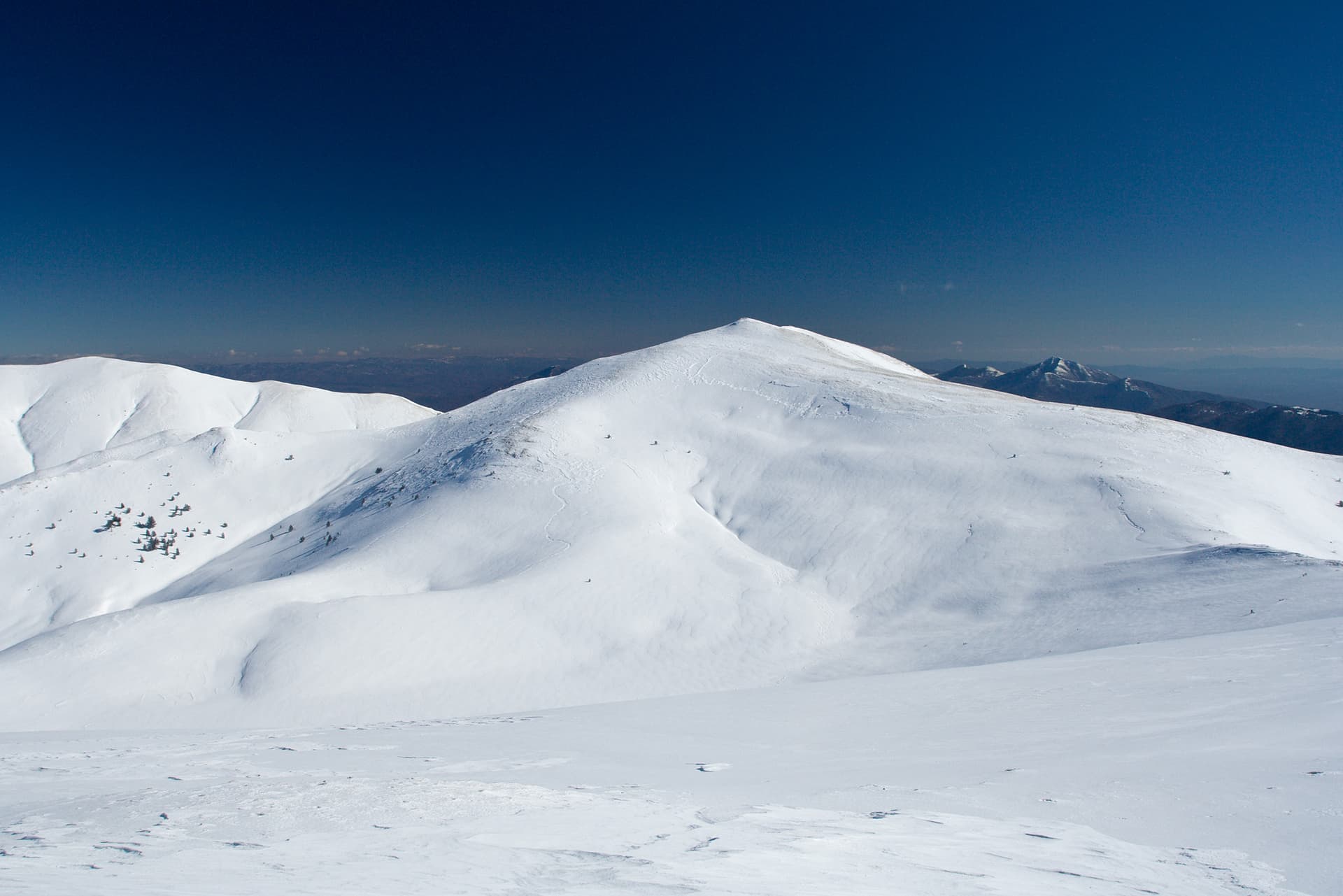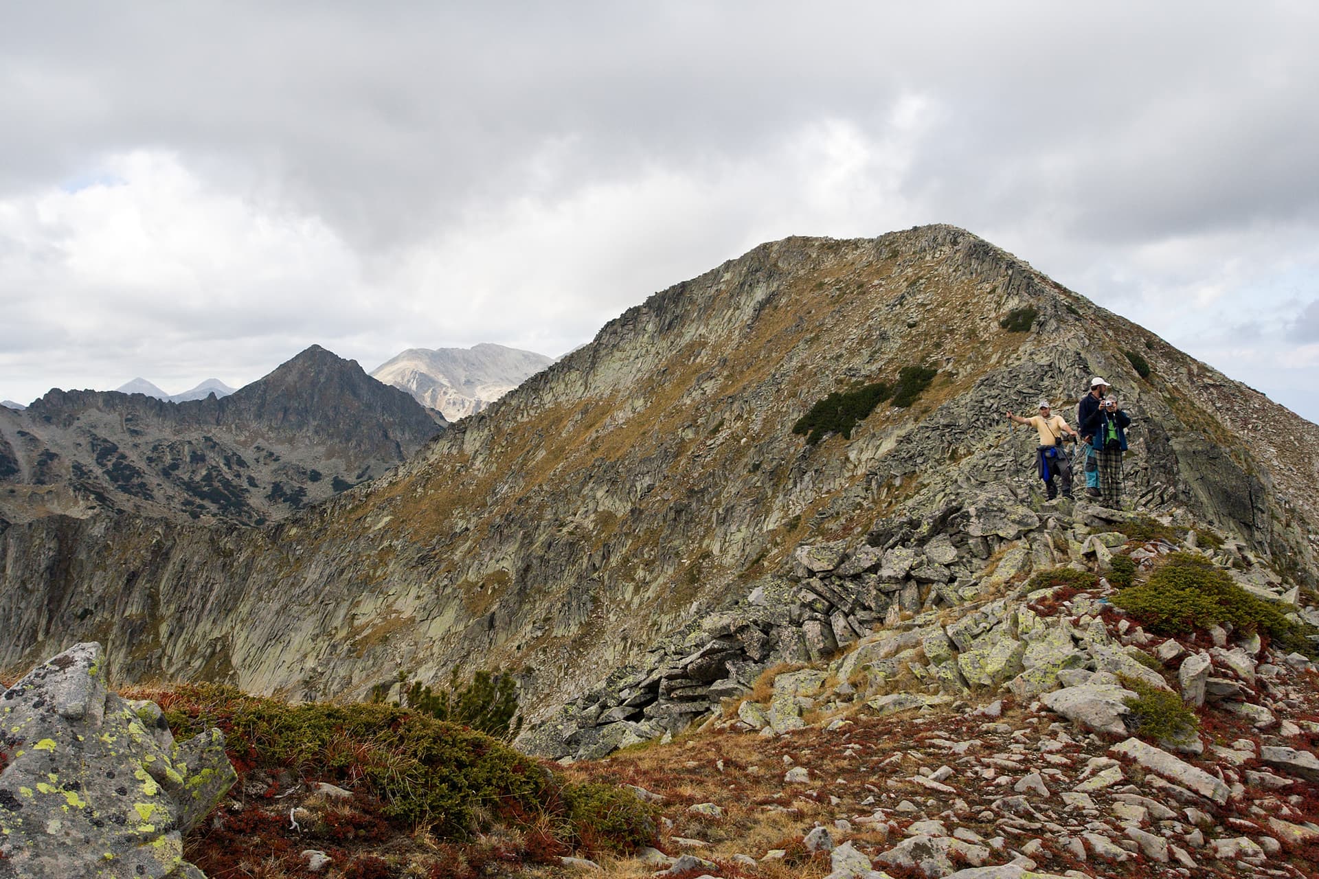
Dzhano (2,668 m) is a peak on the central ridge of Pirin, between the Demirkapiya saddle and Chengelchal.
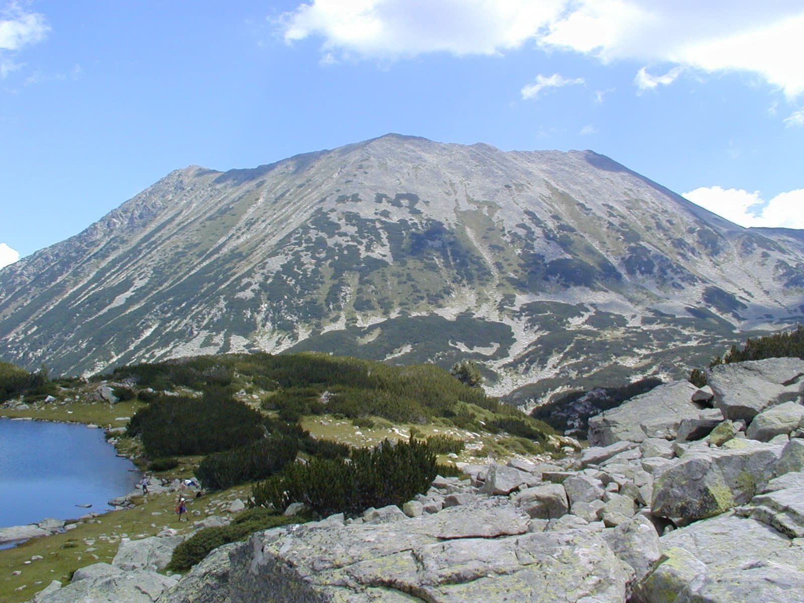
The peak is surrounded by some of the largest Pirin lakes, the Popovo and the Kremenski lakes. From it the main ridge turns south; to the north the short Dzhangalitsa side ridge branches off with the neighbouring peak Sivriya, and to the north-east an unnamed ridge that many authors call the Kremenski ridge. The ridge south to Chengelchal is rocky and narrow, and hikers call it "Malkoto Konche".
Seen from Popovo lake Dzhano looks imposing, but it is lower than the next peaks along the ridge to the south. It is not rocky but covered with moraines. During the "Revival Process" it was renamed Orlovets, but the name did not stick. The path from the Izvorite shelter past the Kremenski lakes leads to the summit.
Dzhano is located in Blagoevgrad, Bulgaria.
Dzhano is most easily reached by car. Use the coordinates above to navigate, or open the location in OpenStreetMap or your preferred maps app for turn-by-turn directions. Public transport options vary by region — for remote destinations a rental car gives the most flexibility.
Late spring through early autumn (May–September) is best for Dzhano, when trails are clear of snow and weather is most stable. Higher peaks may hold snow into June and see fresh snow as early as October. Winter visits are for experienced mountaineers with proper gear.
Dzhano reaches an elevation of 2,668 metres above sea level.
Hiking boots, layered clothing, water (1.5–2 L per person), sun protection, and a windproof jacket — mountain weather changes quickly. For longer routes also bring a map (paper or offline), a head torch, and emergency rations. Tell someone your planned route and expected return time.