MestalaMestala
HomePlacesMapTripBlogAboutFAQ
EN|БГ

Discover Bulgaria with Mestala.

AboutFAQLicensePrivacy
Chengelchal
MountainsBlagoevgrad

Chengelchal

HomePlacesMountainsChengelchal
Elevation: 2,709 mCoordinates: 41.68665, 23.51543View on OpenStreetMap

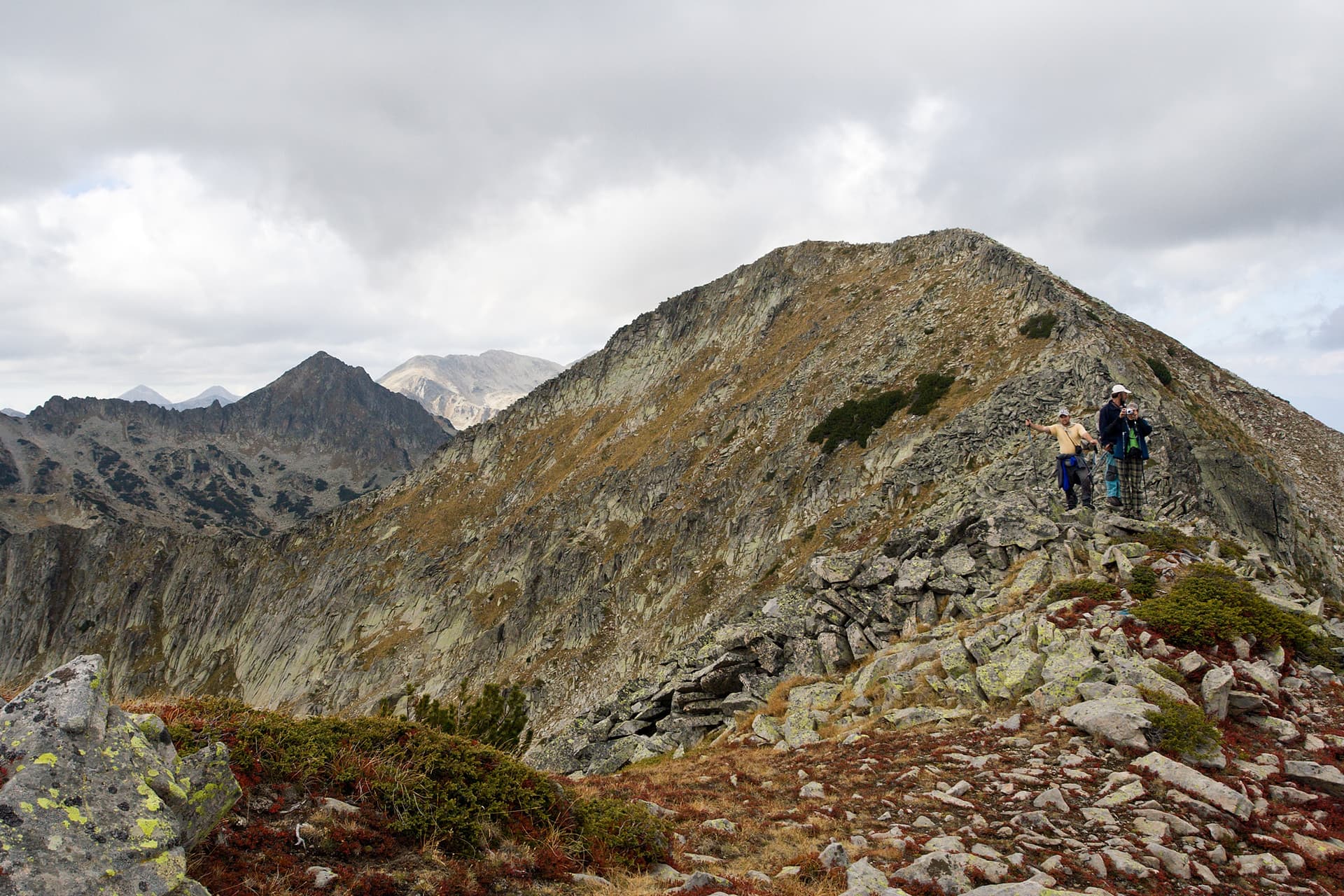
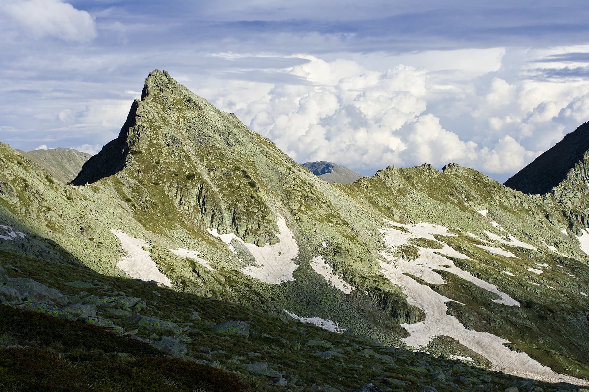
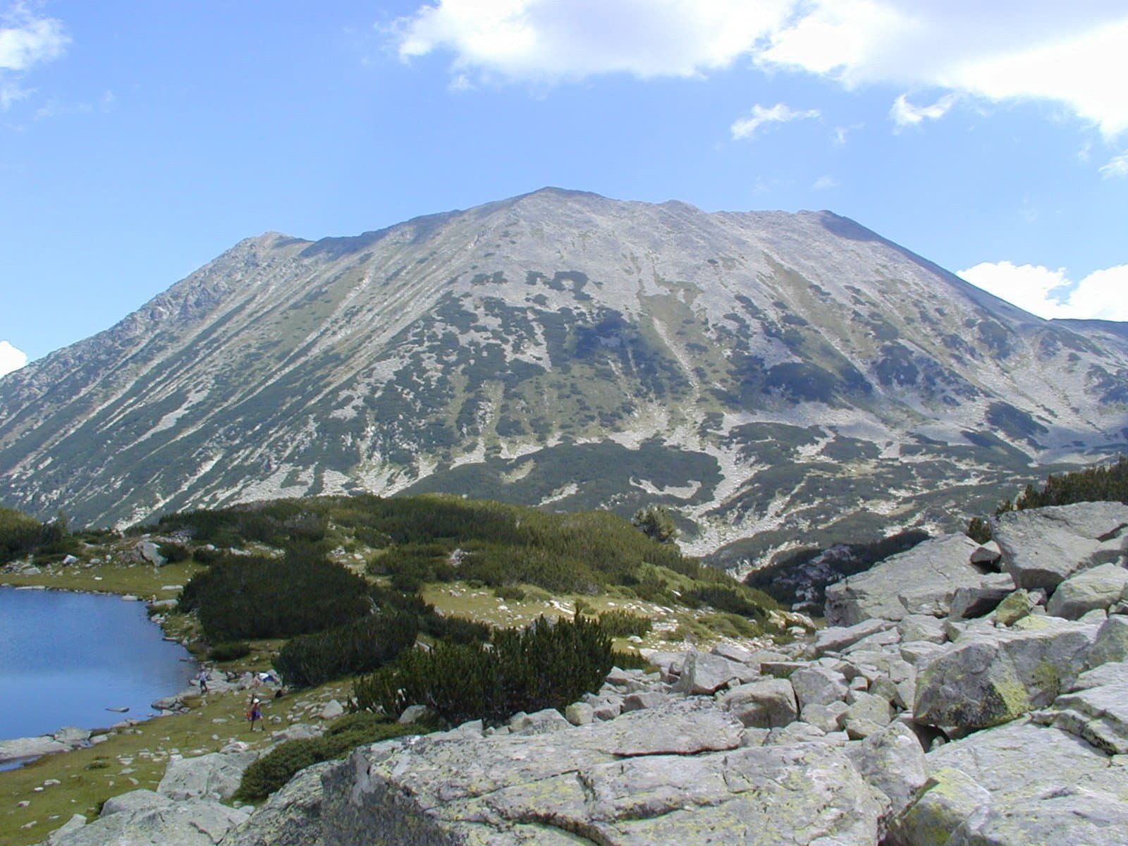
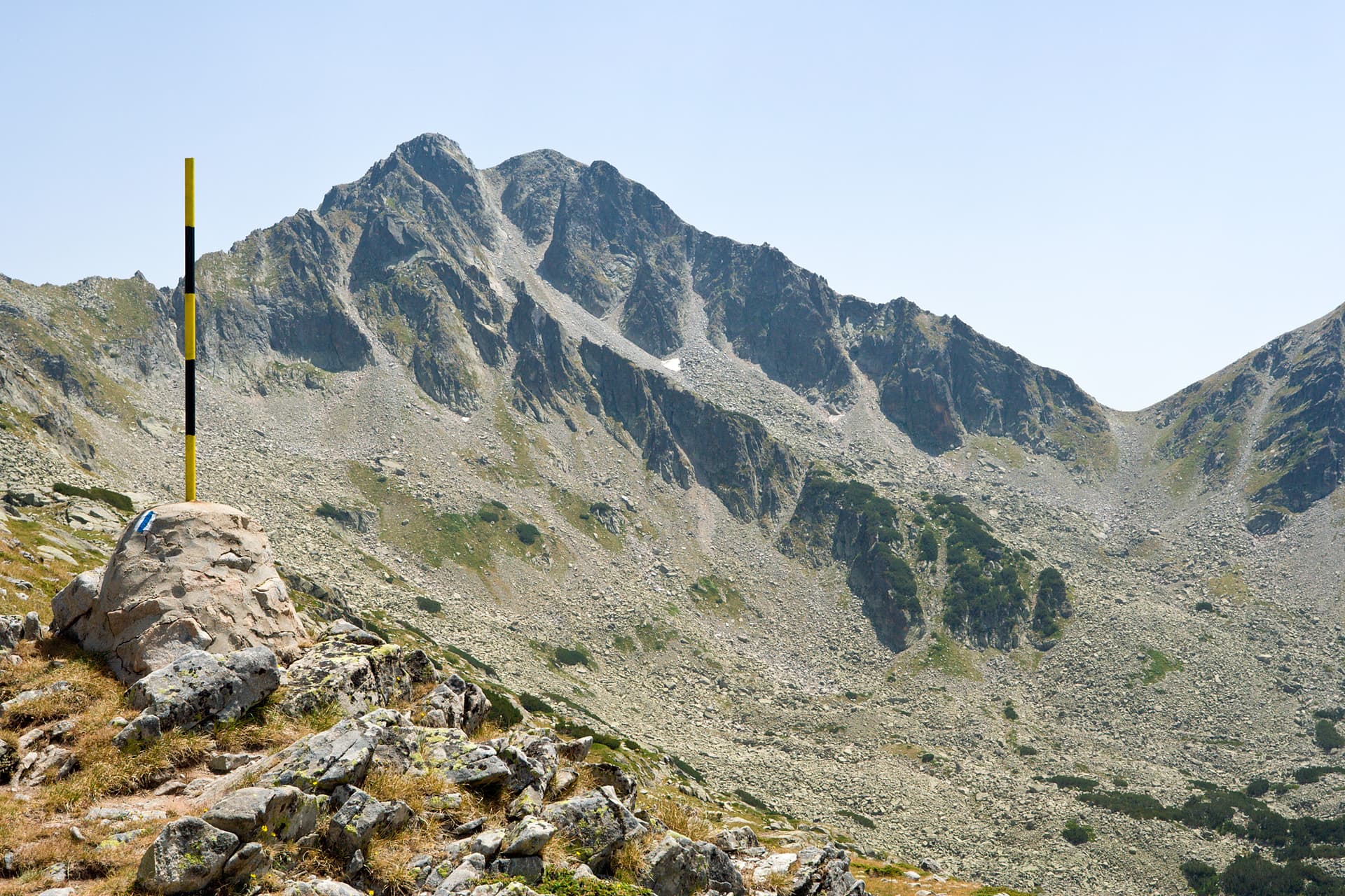
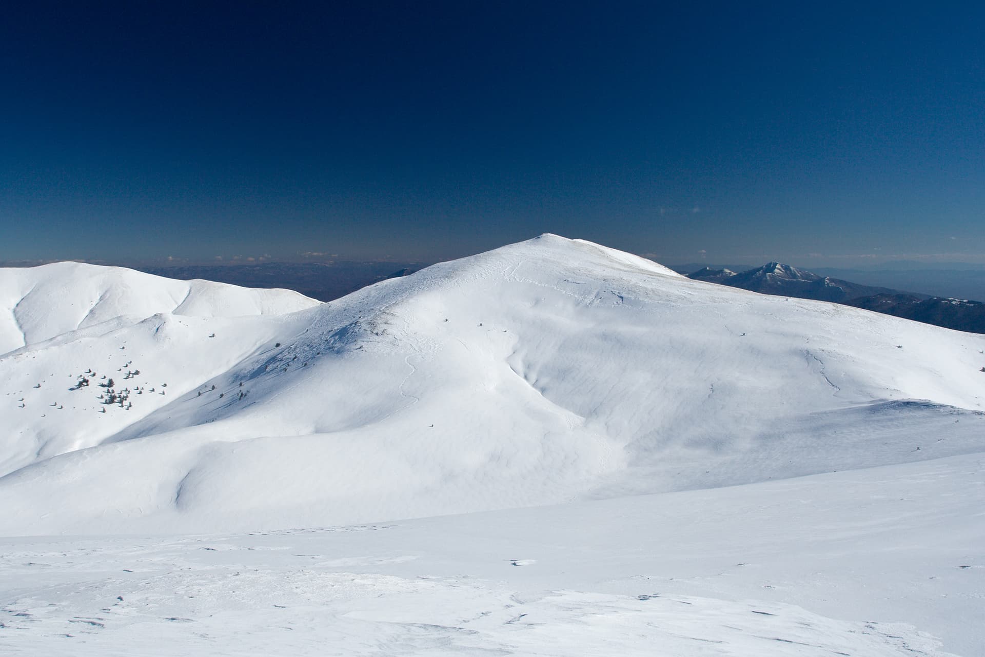
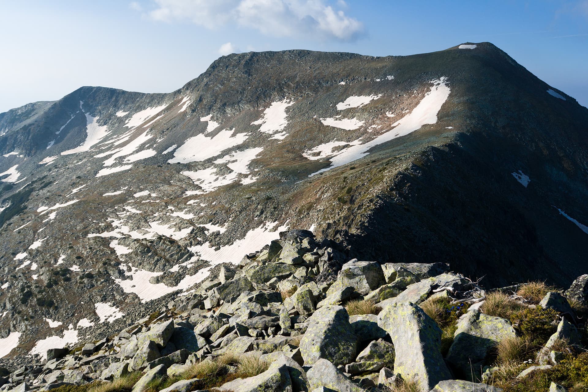
Immerse yourself in the wild beauty of Pirin Mountain by conquering Chengelchal Peak – one of the impressive giants in the northern part of the range, a prominent member of the Rila-Rhodope Massif. Situated on the main Pirin ridge between Debeli Vrah and Momin Dvor peaks, Chengelchal majestically rises to 2709 meters above sea level, offering unforgettable experiences for every mountaineer in the Blagoevgrad region. The peak itself is rocky and alpine, typical of Pirin's higher elevations. The ascent to it, while not extreme, requires good physical preparation and appropriate gear. From Chengelchal, some of the most breathtaking panoramic views in Pirin unfold – before you, the massive outlines of Vihren, Kutelo, and Banski Suhodol will stretch out, and your gaze will wander across endless ridges and valleys, covered with ancient Bosnian pine forests and high-alpine meadows. The area around Chengelchal is a paradise for high-mountain enthusiasts. Here, you can feel the true spirit of Pirin, breathe crystal-clear air, and enjoy pristine nature. The peak is accessible via marked trails, often forming part of longer routes connecting huts like Vihren and Banderitsa. The most suitable period for visiting is during the summer months (July-September), when snow cover has receded and weather conditions are favorable. Don't miss adding Chengelchal to your list of Pirin adventures – it will reward you with views you'll cherish for a lifetime!

Nearby Places

Dzhano
Mountains

Dzhano

Blagoevgrad

0.8 km away

Malka Kamenitsa
Mountains

Malka Kamenitsa

Blagoevgrad

2.0 km away

Kralev dvor
Mountains

Kralev dvor

Blagoevgrad

2.1 km away

z. Izvorite - Kremenski ezera - v. Dzhano
Trails

z. Izvorite - Kremenski ezera - v. Dzhano

Blagoevgrad

2.1 km away

More to explore

Koncheto
Mountains

Koncheto

Blagoevgrad

Yalovarnika
Mountains

Yalovarnika

Blagoevgrad

Gotsev Peak
Mountains

Gotsev Peak

Blagoevgrad

Golena
Mountains

Golena

Blagoevgrad

Frequently asked questions

Where is Chengelchal located?

Chengelchal is located in Blagoevgrad, Bulgaria.

How do I get to Chengelchal?

Chengelchal is most easily reached by car. Use the coordinates above to navigate, or open the location in OpenStreetMap or your preferred maps app for turn-by-turn directions. Public transport options vary by region — for remote destinations a rental car gives the most flexibility.

What is the best time to visit Chengelchal?

Late spring through early autumn (May–September) is best for Chengelchal, when trails are clear of snow and weather is most stable. Higher peaks may hold snow into June and see fresh snow as early as October. Winter visits are for experienced mountaineers with proper gear.

How high is Chengelchal?

Chengelchal reaches an elevation of 2,709 metres above sea level.

What should I bring when visiting Chengelchal?

Hiking boots, layered clothing, water (1.5–2 L per person), sun protection, and a windproof jacket — mountain weather changes quickly. For longer routes also bring a map (paper or offline), a head torch, and emergency rations. Tell someone your planned route and expected return time.