The path leads from the Izvorite shelter area past the Kremenski lakes to Dzhano peak (2,668 m) in Northern Pirin. It is marked in yellow and is about 3.3 km long with about 600 m of ascent.
The path starts at about 2,060 m near the shelter and climbs into the Kremen cirque. It passes the western shores of the three highest lakes and below Dzhano continues in steep zigzags over the moraines. It reaches the crest of the Dzhangalitsa ridge right next to the summit, at about 2,650 m.
There are nine Kremenski lakes – seven permanent and two that dry out. Lower Kremensko lake (2,306 m) is the largest of the group and the second largest in Pirin after Popovo lake, 27 m deep. The upper lake lies at 2,357 m. The lakes take their name from Kremen village, whose land they are on. Dzhano stands on the main ridge between the Demirkapiya saddle and Chengelchal peak; its slopes are covered in moraine. From there you see both the Kremenski lakes and Popovo lake.
A short but steep high-mountain walk over rock and moraine, with no shade. For experienced walkers in good weather, between July and September.
The Izvorite shelter is on the brown-marked route from Kremen village to Bezbog hut. Bezbog is reached by the chairlift from Gotse Delchev hut above Dobrinishte.
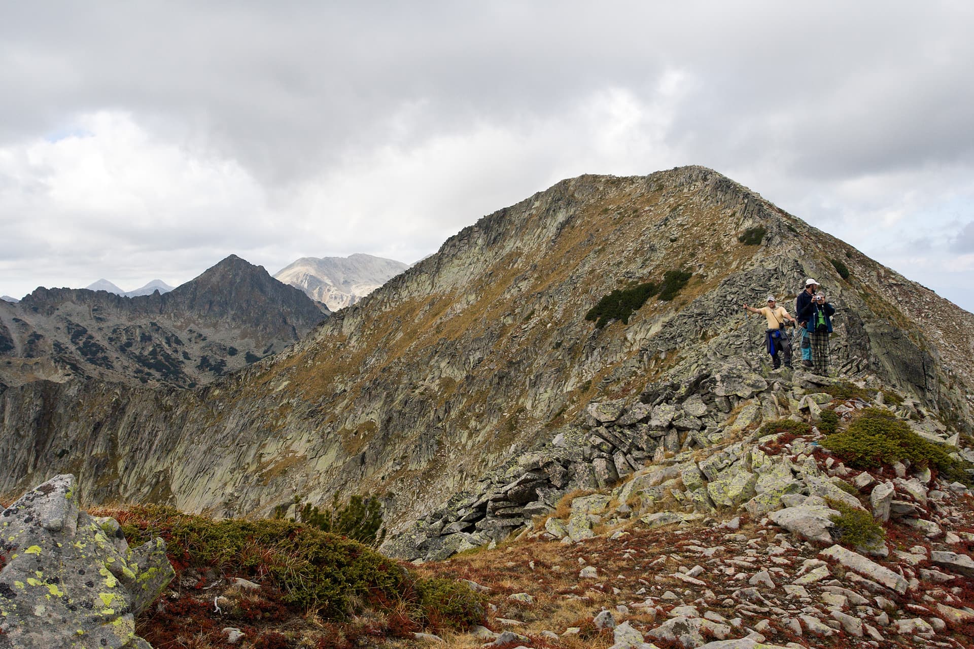
Blagoevgrad region
1.5 km away
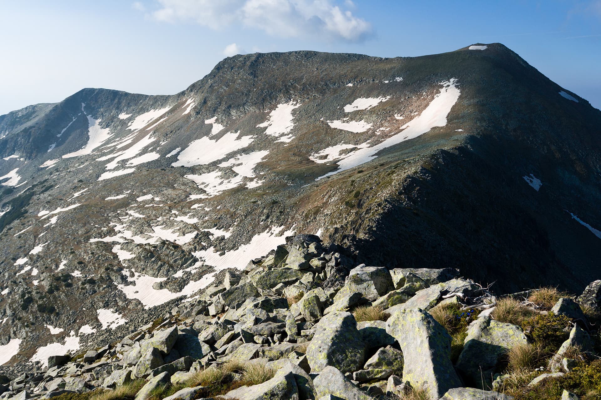
Blagoevgrad region
2.1 km away
Izvorite Shelter – Kremenski Lakes – Dzhano Peak is located in Blagoevgrad, Bulgaria.
Izvorite Shelter – Kremenski Lakes – Dzhano Peak is most easily reached by car. Use the coordinates above to navigate, or open the location in OpenStreetMap or your preferred maps app for turn-by-turn directions. Public transport options vary by region — for remote destinations a rental car gives the most flexibility.
Izvorite Shelter – Kremenski Lakes – Dzhano Peak is best walked from May through October, when the trail is clear of snow and weather is generally stable. Summer middays can be hot at lower altitudes — start early. Winter walking requires proper gear and route knowledge.
Suitability depends on the specific route. Bulgarian trails range from paved family-friendly paths to multi-day high-mountain crossings. Check the length, elevation gain, and surface before setting off. Sturdy footwear, water, and a basic map (offline or paper) are essential even on short walks.