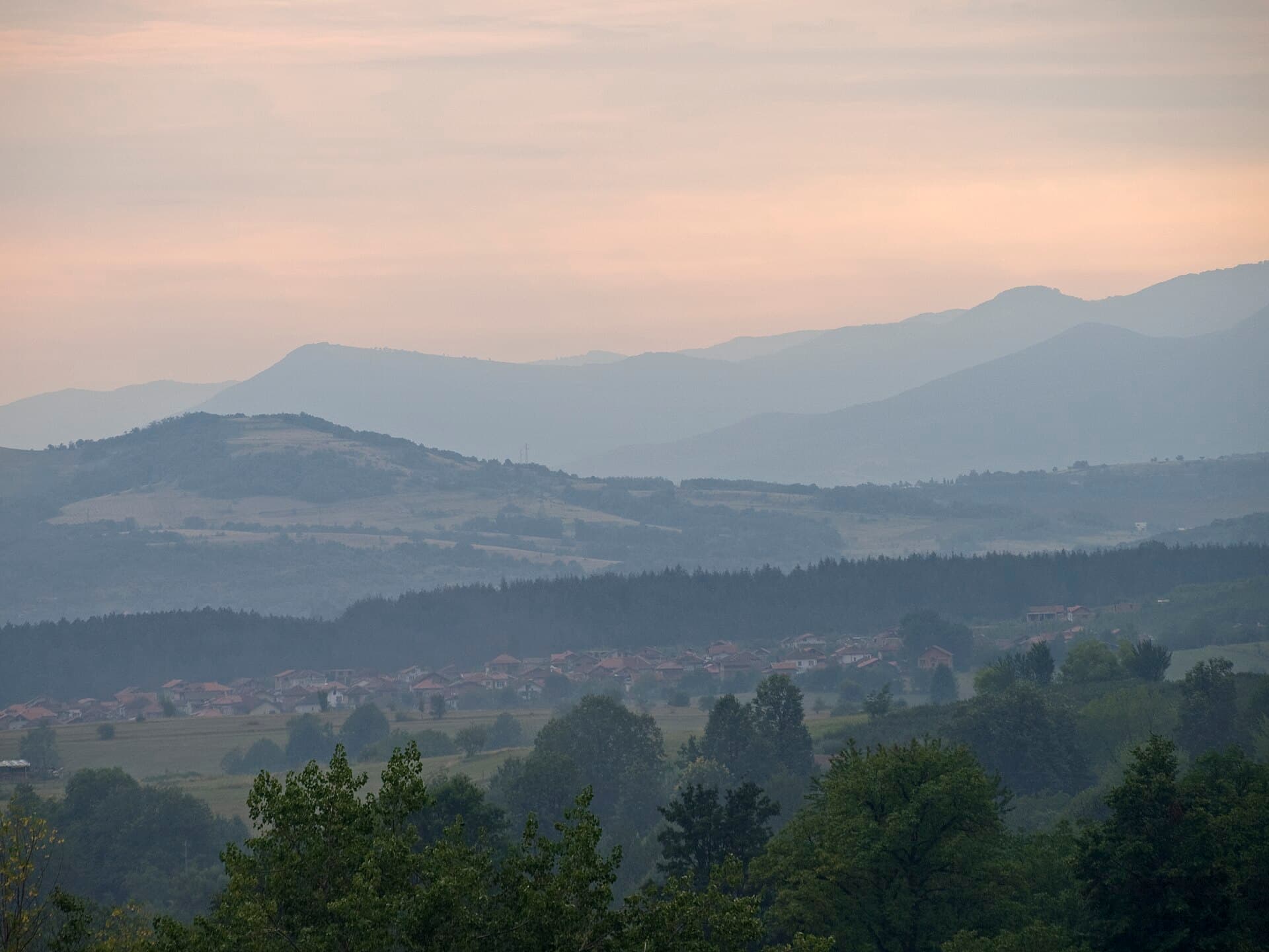
Located just 600 meters southwest of the city of Montana and elevated 60 meters above the town level, Ogosta Reservoir stands as the fourth largest by surface area (23.6 sq km) and the second largest by water volume (506 million cubic meters) in Bulgaria. This massive engineering project impounds the waters of three mountain rivers—Ogosta, Burziya, and Zlatitsa—creating a sweeping aquatic landscape at the foot of the Balkan Mountains.
Construction on the dam spanned two decades, concluding in 1986 before its official inauguration in September 1987. To make way for the vast artificial lake, two historical villages were entirely submerged, with their residents relocated to nearby Montana and Berkovitsa:
Originally designed to irrigate vast agricultural tracts extending from Montana to the fertile Zlatiyata plain near Lom, the irrigation pipeline network remained partially unfinished following the political transitions of the late 1980s.
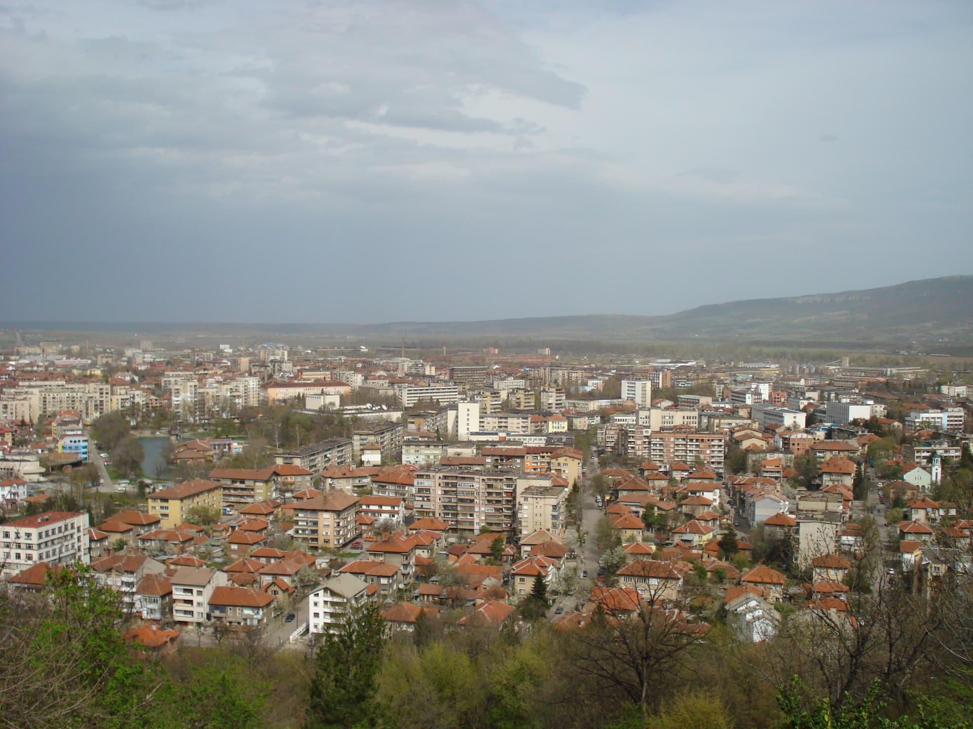
Montana region
6.0 km away

Montana region
15.3 km away
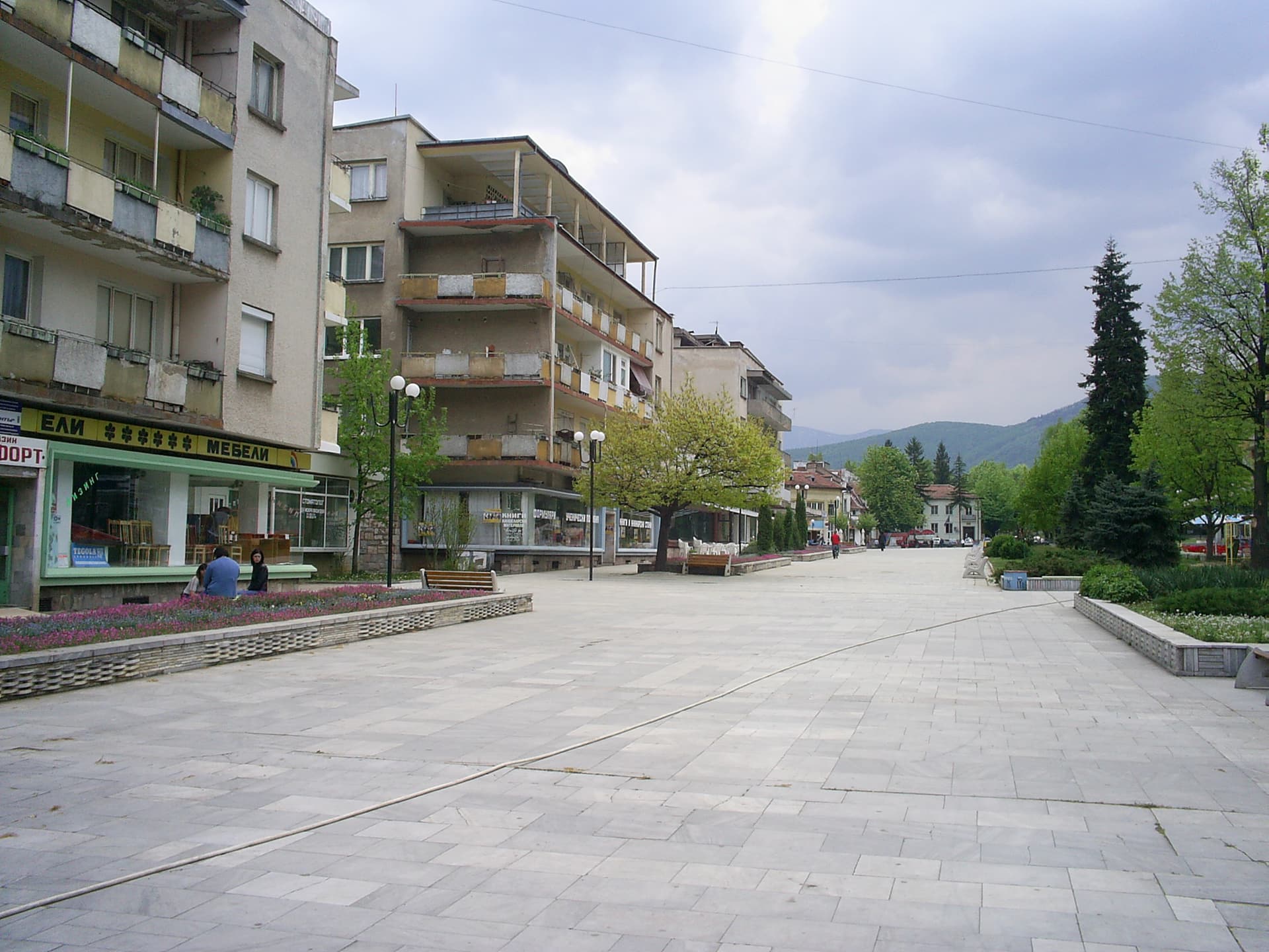
Montana region
15.5 km away
Ogosta Reservoir is located in Montana, Bulgaria.
Ogosta Reservoir is most easily reached by car. Use the coordinates above to navigate, or open the location in OpenStreetMap or your preferred maps app for turn-by-turn directions. Public transport options vary by region — for remote destinations a rental car gives the most flexibility.
Late spring through early autumn (May–September) is the most popular time to visit Ogosta Reservoir. Water is warmest in July and August. Mountain lakes may be inaccessible or frozen in winter.
Permitted activities at Ogosta Reservoir depend on local regulations and conditions. Many Bulgarian lakes allow swimming and recreational fishing with a permit; some — particularly drinking-water reservoirs and protected glacial lakes — restrict access. Check signage on site and verify with local authorities before swimming or fishing.