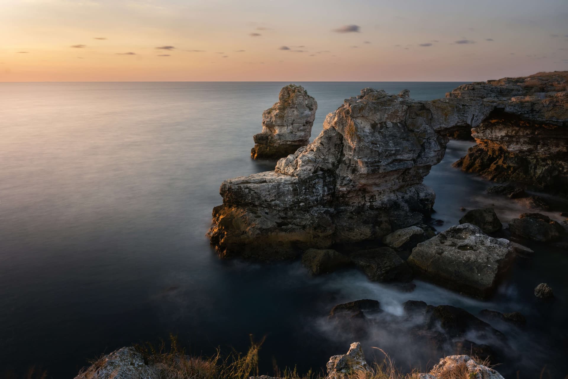
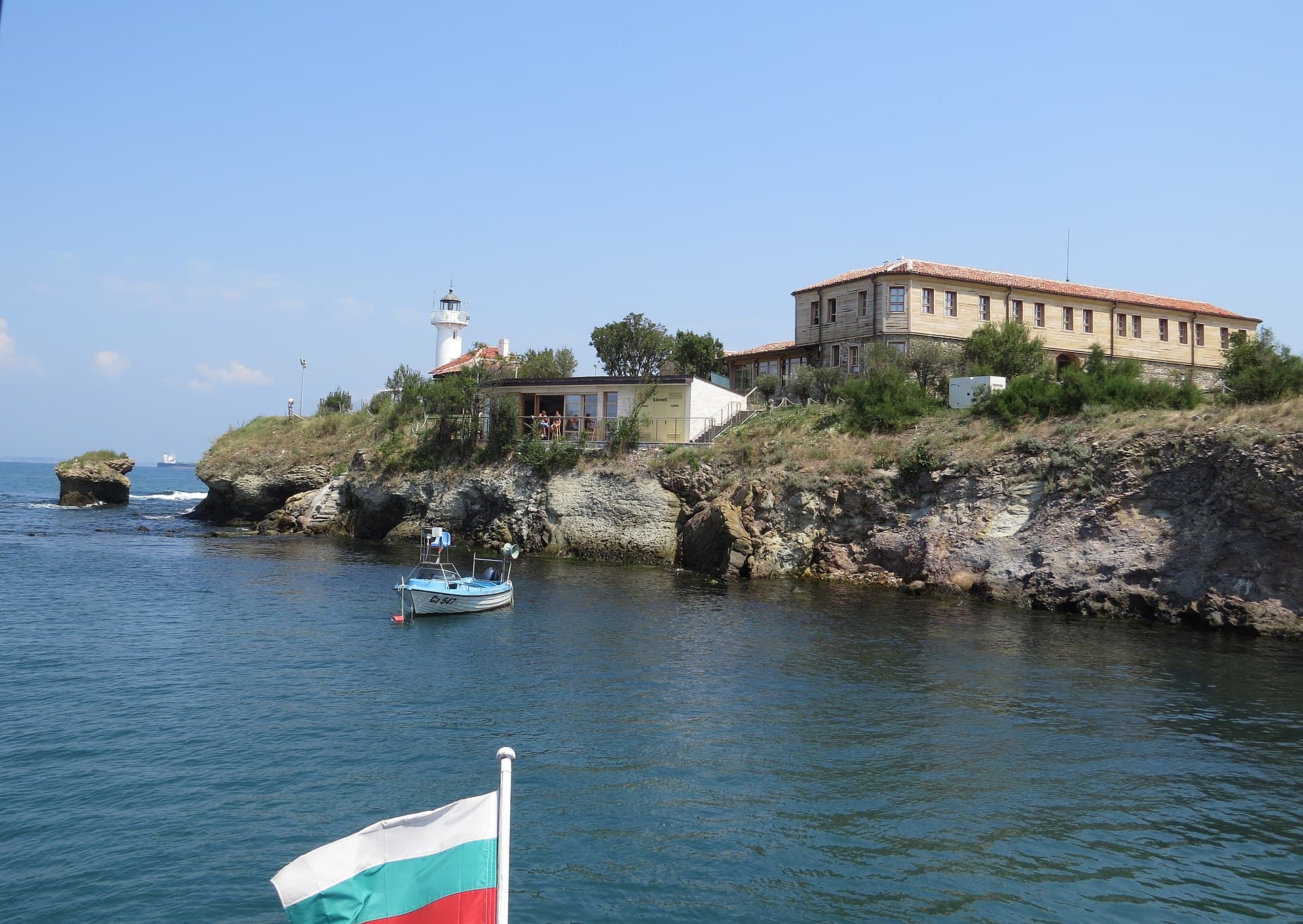
Atanasovsko Lake stands as an exceptionally valuable, specialized, and large-scale coastal water body situated within the urban boundaries of the city of Burgas, occupying the territories expanding between the Izgreв and Sarafovo city quarters and directly west of them. It operates as a pivotal element of the extensive Burgas Lake Complex, bordering directly eastward with the marine waters of the Black Sea via the Atanasovska Spit, which comprises a natural sandy barrier measuring roughly 1 kilometer in length. The lake is a coastal lagoon and is distinguished by an immense, unique biodiversity profile of flora and fauna, with a major percentage of its native species strictly sheltered under the Biodiversity Act and inscribed within the IUCN Red List of Threatened Species. The basin is interconnected with the Black Sea through a complex infrastructure of artificial and natural channels, facilitating its routine drainage and water exchange operations. The physical parameters of the lake are monumental: its total land area amounts to 7208.89 hectares, the continuous length spans close to 9 kilometers, the horizontal width extends up to 4.3 kilometers, and the average depth hovers within shallow intervals from 0.8 to 0.9 meters. To secure the stable conservation of rare, endangered, and vanishing nesting, migratory, and wintering waterfowl species across the country and the European continent, the Atanasovsko Lake Maintained Reserve was officially established. Traditional Salt Production, Hydrography, and Transport Infrastructure Due to the exceptionally high natural salinity levels of the water, which hover within a constant range from 20 to 27.5 percent, the lake is systematically utilized for commercial and artisanal salt harvesting via authentic, traditional methodologies. The distinct habitats, ecosystems, and bio-communities characterizing this wetland are entirely and heavily dependent on the preservation of this industrial activity in the exact format it is executed. The official initiation of marine salt harvesting within the region dates back to the historical year 1906. Cutting directly through the core of the lake body along an artificially engineered earthen dike is the new primary national highway, linking Burgas with the Sarafovo quarter, the Burgas International Airport, and the city of Varna. Concurrently, the old automobile route and the Burgas - Pomorie railway line cross directly over the sandy Atanasovska Spit, tracking fully parallel to the Burgas urban beach. This central dike splits the lake body into two vast segments - northern and southern, which remain continuously linked both with each other and with the Black Sea via a system of sluices and channels. Industrial marine salt extraction is executed actively across both sections of the lagoon, though operations are predominantly concentrated within the evaporation pans of the southern tier. The salinity parameters of the water are regularly boosted due to the managed link connecting the lake to the sea, yielding an annual extraction output of approximately 40 000 tons of pure Bulgarian sea salt. Evolution of the Ecological Protection Status and Reserve Management Over recent decades, the legal protection framework governing the lake has progressed through several critical development phases: - Proclamation of the Reserve: In 1980, the entire northern segment of the lake was officially declared a strict nature reserve. - Buffer Protection Zone: One year later, in 1981, the southern segment of the lake alongside the land territories positioning immediate to the shoreline of the entire water body were declared an official buffer zone to the core reserve, aiming to mitigate industrial contamination. - Recategorization: In 1999, in complete compliance with the guidelines of the Protected Areas Act, the reserve was formally recategorized into the bracket of a maintained reserve, allowing managed ecological tracking and traditional industrial salt extraction. - Birdwatching Hide Facility: In 2001, anchored along the shoreline of the Southern segment of the lake, positioning immediate to the Lukoil fueling station, a contemporary Birdwatching Hide was engineered, successfully welcoming international ornithologists and eco-travelers. - Management Framework: In 2003, a thorough Management Plan tailored for the protected territory was officially approved by state decree. - Protected Locality Status: In 2007, the former historical buffer zone was fully converted into an independent protected territory under the legal category of a protected locality. According to the strict regulations of the Protected Areas Act inside the Republic of Bulgaria, the maintained reserve is permanently monitored, controlled, and managed directly by the Regional Inspectorate of Environment and Water in Burgas, operating under the direct methodological supervision and oversight of the Ministry of Environment and Water.
Burgas
4.6 km away
Burgas
9.7 km away

Burgas
9.9 km away
Burgas
10.4 km away
Atanasovsko Lake is located in Burgas, Bulgaria.
Atanasovsko Lake is most easily reached by car. Use the coordinates above to navigate, or open the location in OpenStreetMap or your preferred maps app for turn-by-turn directions. Public transport options vary by region — for remote destinations a rental car gives the most flexibility.
Late spring through early autumn (May–September) is the most popular time to visit Atanasovsko Lake. Water is warmest in July and August. Mountain lakes may be inaccessible or frozen in winter.
Permitted activities at Atanasovsko Lake depend on local regulations and conditions. Many Bulgarian lakes allow swimming and recreational fishing with a permit; some — particularly drinking-water reservoirs and protected glacial lakes — restrict access. Check signage on site and verify with local authorities before swimming or fishing.