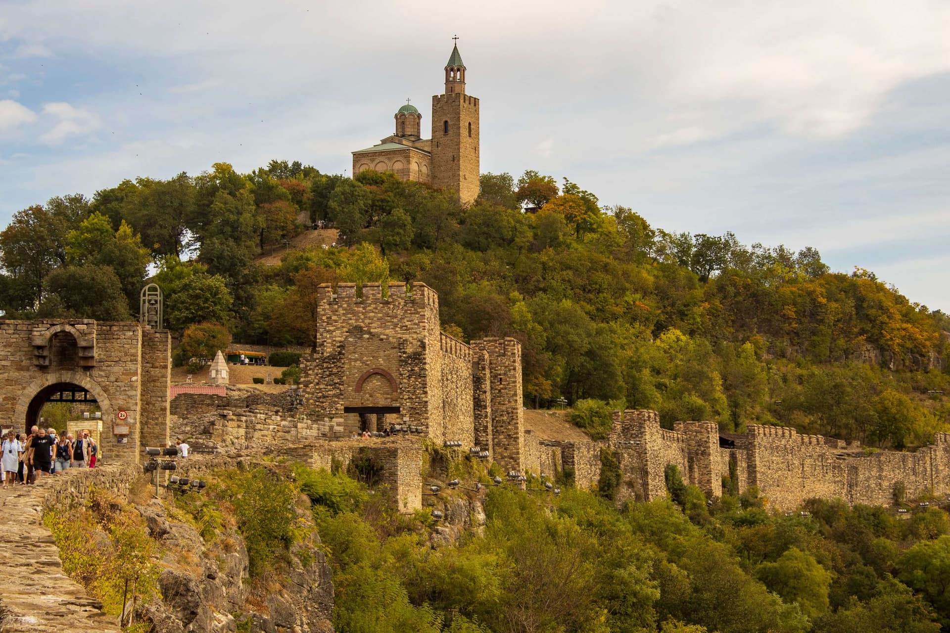
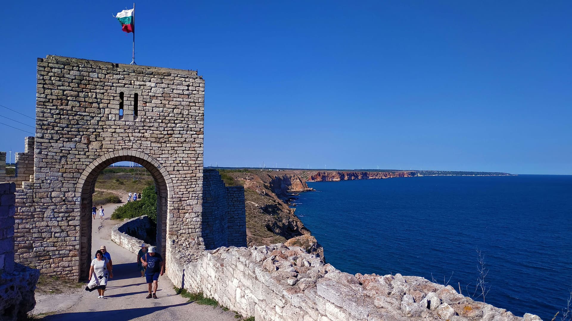
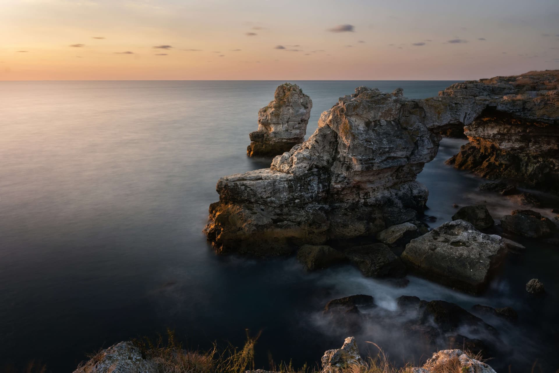
The Yailata National Archaeological Reserve stands as one of the most significant, wealthy, and best-preserved historical and environmental complexes along the Black Sea coast of Bulgaria. The very name Yailata derives directly from the Turkish word yayla, which translates literally as a high plateau or elevated mountain pasture. The site positions within the boundaries of the Dobrich Province, located at a distance of 2 kilometers south of the coastal village of Kamen Bryag and 18 kilometers northeast of the municipal center, the city of Kavarna. In geographical terms, the reserve comprises a vast, specialized maritime terrace extending across a total land area of 300 decares. It is naturally isolated from the waves of the Black Sea by monumental cliff faces whose vertical height reaches from 50 to 60 meters. Due to its outstanding historical, scientific, and environmental value, the Yailata locality was officially declared a National Archaeological Reserve by a formal resolution of the Council of Ministers in 1989. Concurrently, to ensure the long-term conservation of dozens of rare, endangered plant and animal species and their distinct habitats, the territory commands the legal status of the Yailata Protected Area. Infrastructural Expansion and International Initiatives The initial real state steps toward the permanent preservation, evaluation, and public display of the archaeological assets within Yailata were implemented in 1989, when the antiquities inside the rural boundaries of Kamen Bryag village received their protected status over a perimeter of 300 decares. At the dawn of the 21st century, a large-scale European initiative under the PHARE program of the European Union was successfully engineered and deployed in the region. The primary objective of this project was the development of a contemporary travel destination, supported by a developed and easily accessible pedestrian infrastructure leading to the principal monuments, transforming the reserve into a modern hub for cultural tourism. The Centuries-Old History of the Cave Complex The limestone cliffs of Yailata shield an immense number of natural and artificially modified karst caves. Across separate historical epochs, these chambers shifted their functionality, serving human populations for diverse objectives. During the Middle Ages, the entire cave network was transformed into an organized and permanent subterranean settlement, whose rock recesses were utilized as residential dwellings, artisan workshops, and secure food storehouses. Following the 11th century AD, the character of the settlement shifted entirely. The site began to be actively utilized by ascetic monks for the engineering of secluded monastic cells and small underground rock-cut churches, converting the terrace into a major spiritual capital along the Black Sea shoreline. The Klise Maara Rock-Cut Church and its Sacred Inscriptions The most remarkable, celebrated, and scientifically documented among all the rock-cut shrines within the boundaries of the reserve is the cave bearing the authentic title of Klise Maara, dedicated to the Holy Equal-to-the-Apostles Saint Constantine I and Helen. The cave received its Christian title during the 19th century from the newly arrived Bulgarian Christian population settling the village of Kamen Bryag. Following a centuries-long interruption during the Ottoman rule, these citizens successfully revived religious life and Orthodox pilgrimage at this ancient sacred site. Valuable material markers from early Bulgarian history are conserved within the interior of the monument: - Structural Layout: The church is arranged across three separate underground chambers that are interconnected via passages carved into the stone. - Christian Inscriptions: Numerous Christian crosses of varying geometric shapes and sizes are incised into the masonry faces of all three chambers. - Proto-Bulgarian Runic Inscriptions: Within the second section of the cave, archaeologists discovered and thoroughly studied an authentic Proto-Bulgarian runic symbol, which serves as strong physical evidence attesting to the presence and culture of Asparuh's Bulgarians along the coast. - Chronology: These epigraphic and material monuments explicitly confirm that during the Early Middle Ages, the site functioned as an active Christian shrine, whose continuous spiritual operations endured at least until the absolute close of the 11th century AD.

Dobrich
2.4 km away
Dobrich
6.8 km away
Dobrich
7.3 km away
Dobrich
8.2 km away
Yaylata is located in Dobrich, Bulgaria.
Yaylata is most easily reached by car. Use the coordinates above to navigate, or open the location in OpenStreetMap or your preferred maps app for turn-by-turn directions. Public transport options vary by region — for remote destinations a rental car gives the most flexibility.
Yaylata can be visited year-round. Spring and autumn offer the most pleasant conditions for exploring, with mild temperatures and fewer crowds. Summer is ideal for photography and longer day trips; winter visits are possible but weather can limit access at some sites.
Most natural landmarks in Bulgaria are freely accessible and open year-round, though some sites have entrance fees or require a guide. Wear sturdy footwear and bring water, as the terrain can be uneven. Respect any protective barriers and stay on marked paths to preserve the site.