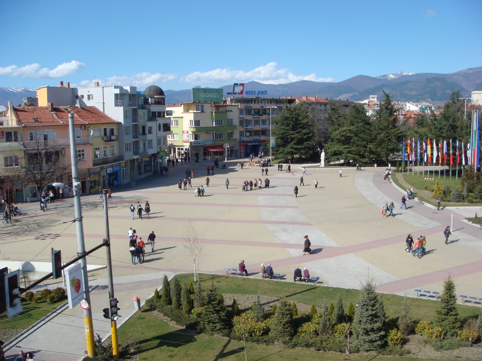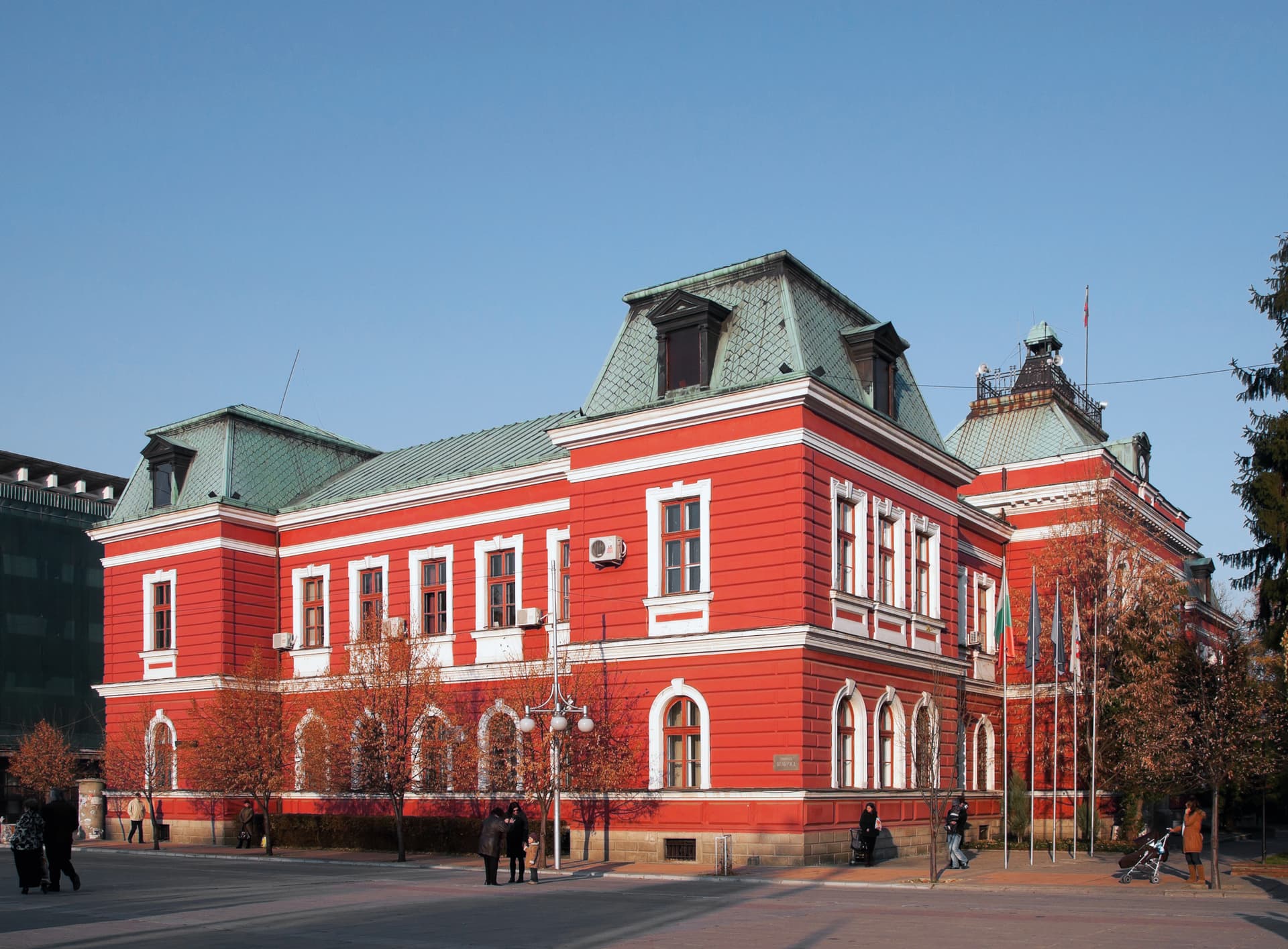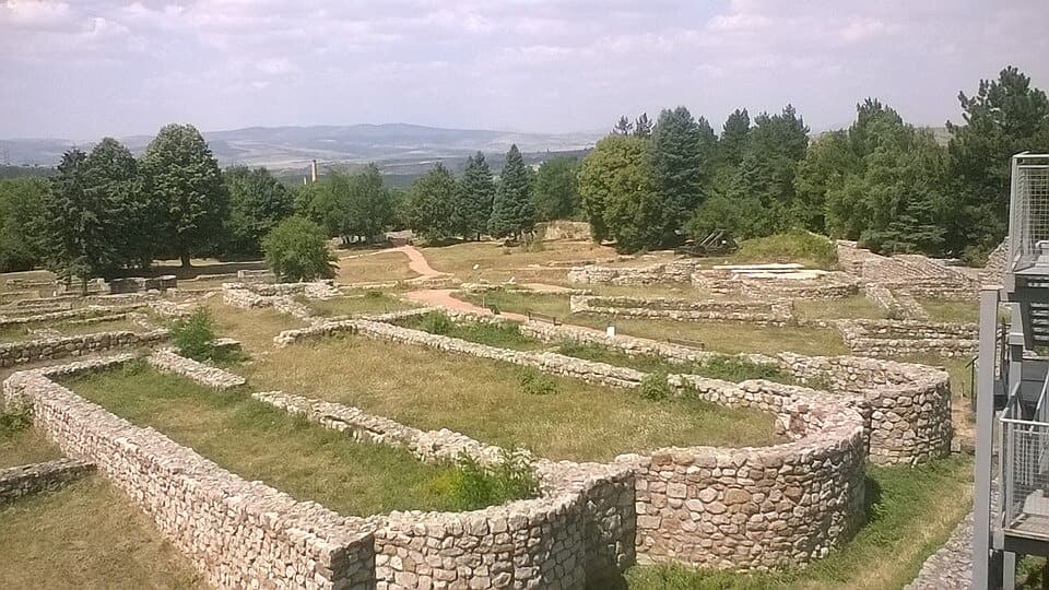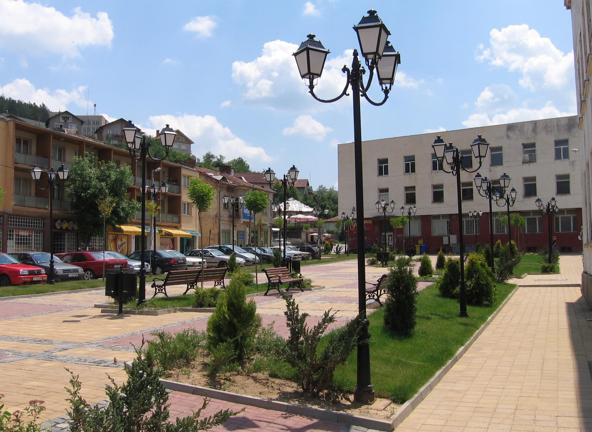
Tran is a small mountain town in western Bulgaria, in Pernik Province, set on both banks of the Erma River at the eastern end of the high Znepole basin. With 2,083 residents (National Statistical Institute, 31 December 2025) it's one of the smallest towns in the country — and that's a large part of its appeal. It's ringed by the hills of Kitka, Garkov Kamak, Charchalat and Murgovitsa, and both the Serbian border and the towns of Breznik and Dragoman are close by.
Tran is the administrative centre of a municipality of 52 settlements, part of the historical region of Kraishte.
The record Tran is famous for across Bulgaria: in the winter of 1947 the lowest temperature ever recorded in the country — –38.3 °C — was measured here. For most Bulgarians it's still the first thing the town's name brings to mind.
Town day is celebrated every year on 14 October, St Petka's Day, when the traditional fair is held.
This is why most people come to Tran — and it's worth the drive.
The gorge lies 5 km from town and is one of the most striking rock formations in western Bulgaria. The Erma rises in the Serbian Vlasina mountains, runs 25 km through Bulgarian territory and flows back into the Serbian stretch of the Nishava. There it carves the Poganovo Gorge — one of the most imposing canyons in all of southeastern Europe — beside the old Bulgarian monastery of St John the Theologian.
The Tran eco-trail is how you see the gorge from the inside. It starts from the asphalt road in Tran and runs 13 kilometres. Along the way you cross a wooden footbridge, follow a dirt track through a tunnel cut into the rock, then cross a second bridge. It ends at a panoramic viewpoint over the gorge itself — the best shot on the whole route.
The full circuit is a whole-day undertaking — set aside the day, not the afternoon. If you don't have that long, walk just the first section as far as the tunnel and the bridges and turn back: the most spectacular part comes early.
In the Berainci quarter of Tran, on a small rise above the Ralcha spring, stands the St Petka rock chapel — a natural cave turned into a place of worship.
It was restored between 1990 and 1994 by local residents at their own expense: steps were built with resting places along the way, and the collapsed façade wall was rebuilt. The cult of St Petka is one of the anchors of local identity — on St Petka's Day (14 October), during the town fair, a kurban (ritual meal) is held at the chapel.
As pilgrimage tourism has grown, the site draws increasing numbers of visitors from further afield. It takes little time to see and fits easily alongside everything else in town.
The Tran basin sits at 700–800 metres, covering 55 sq km, some 20 km long and 3–4 km wide. It's enclosed by six low and mid-height mountains of the Ruy-Veril range:
For people after quiet, wild landscape and somewhere without crowds. Tran has no museum complex, no pedestrian street lined with cafés, no packaged tourist infrastructure — it has a river, cliffs and mountains. If that's what you're looking for, few places in Bulgaria do it better.
Accommodation in town is limited — book ahead for a spring or autumn weekend.

Pernik region
0.1 km away
Pernik region
2.9 km away
Pernik region
4.9 km away
Tran is located in Pernik, Bulgaria.
Tran is most easily reached by car. Use the coordinates above to navigate, or open the location in OpenStreetMap or your preferred maps app for turn-by-turn directions. Public transport options vary by region — for remote destinations a rental car gives the most flexibility.
Tran can be visited year-round, but late spring (May–June) and early autumn (September–October) offer the most pleasant weather and fewer tourists. Summer is the busiest season; winter is the quietest, with shorter daylight and possible cold weather.
Bulgarian settlements typically reward unhurried walking — historic centres, churches and monasteries, local markets, and family-run restaurants serving regional dishes. Larger towns often have museums and seasonal cultural events. The local tourist information centre is a good first stop for current opening hours and what's on.