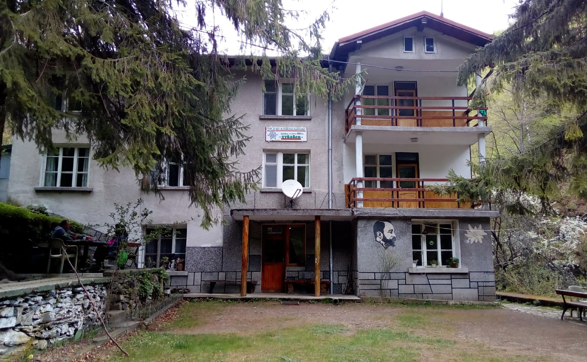
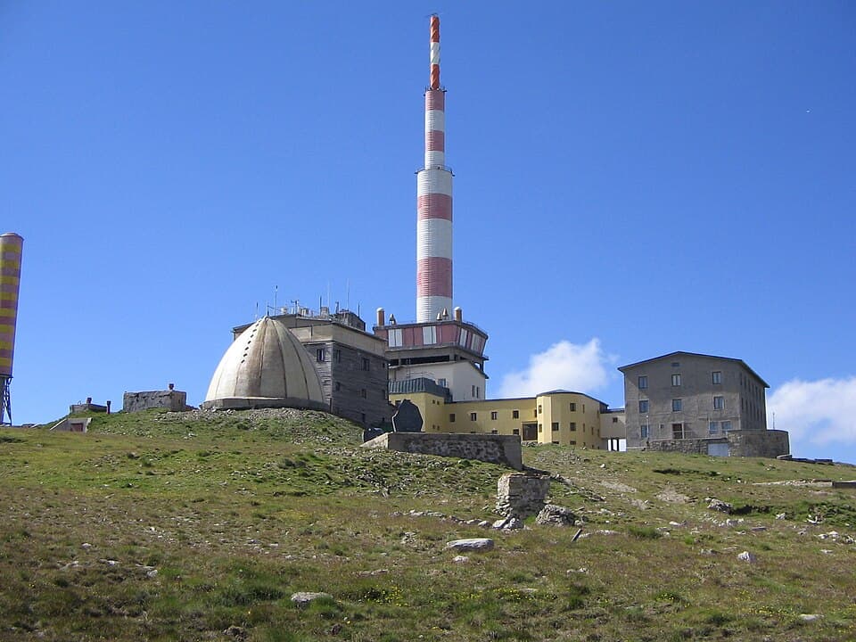
The Tarzan Trail leads from Rai hut (1,430 m) to Botev Peak (2,376 m) in the Central Balkan. It is marked in green, it is about 3.5 km, and the climb of about 950 m takes 2.5–3 hours.
The trailhead is the Panitsite area, 6–7 km of asphalt north of Kalofer. From there Rai hut is about 4.5 hours on blue waymarks. Trains and buses reach Kalofer, but only a taxi goes on to Panitsite.
At Panitsite, where the path to the hut starts. Sources disagree on whether it is paid; cars are not guarded.
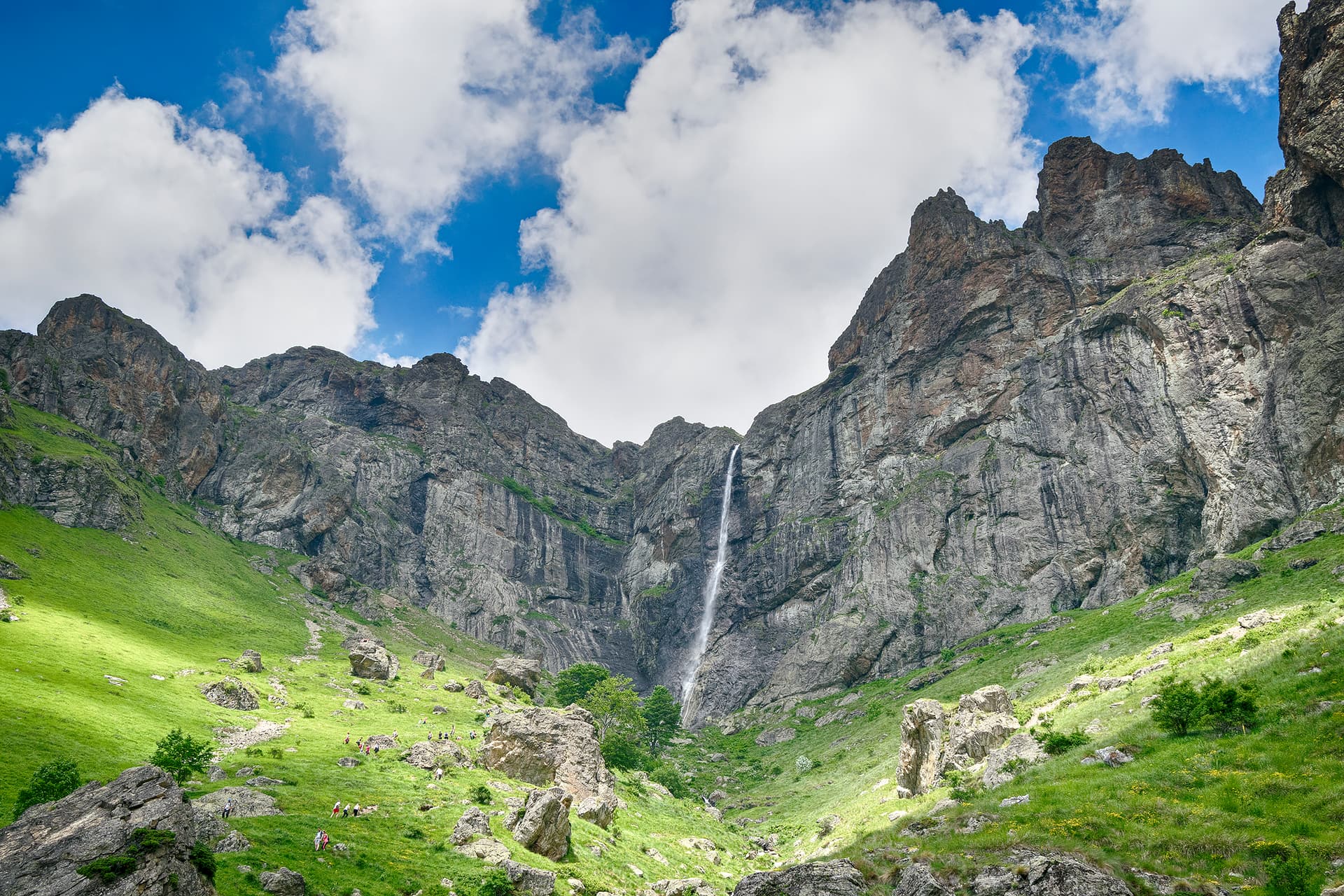
The trail leaves the hut beside the Raysko Praskalo waterfall. The first 400 m or so are the steepest, and the exposed sections have steel cables. Higher up the gradient eases. Todor Bozhkov, nicknamed "Tarzan", laid it out in 1941. Water is only at the hut and at the shelter below the summit.
Hard but non-technical. In dry weather it needs no climbing experience, but not for anyone afraid of heights. In rain or ice it is slippery and dangerous; not used in winter. Not for small children.
Mid-July to the end of September. In June snow lingers high up. Fog and wind on Botev arrive suddenly even in summer, so start early.
Rai hut is in the Central Balkan National Park, with 120 beds and cooked meals. No road reaches it; the Haydut tourist society of Kalofer runs it.
Usually the same way. From the summit you can descend north to Pleven hut and Apriltsi, or head west to Vasil Levski hut.
Plovdiv region
0.7 km away
Plovdiv region
1.1 km away

Plovdiv region
3.9 km away
Lovech region
3.9 km away
Tarzan Trail is located in Plovdiv, Bulgaria.
Tarzan Trail is most easily reached by car. Use the coordinates above to navigate, or open the location in OpenStreetMap or your preferred maps app for turn-by-turn directions. Public transport options vary by region — for remote destinations a rental car gives the most flexibility.
Tarzan Trail is best walked from May through October, when the trail is clear of snow and weather is generally stable. Summer middays can be hot at lower altitudes — start early. Winter walking requires proper gear and route knowledge.
Suitability depends on the specific route. Bulgarian trails range from paved family-friendly paths to multi-day high-mountain crossings. Check the length, elevation gain, and surface before setting off. Sturdy footwear, water, and a basic map (offline or paper) are essential even on short walks.