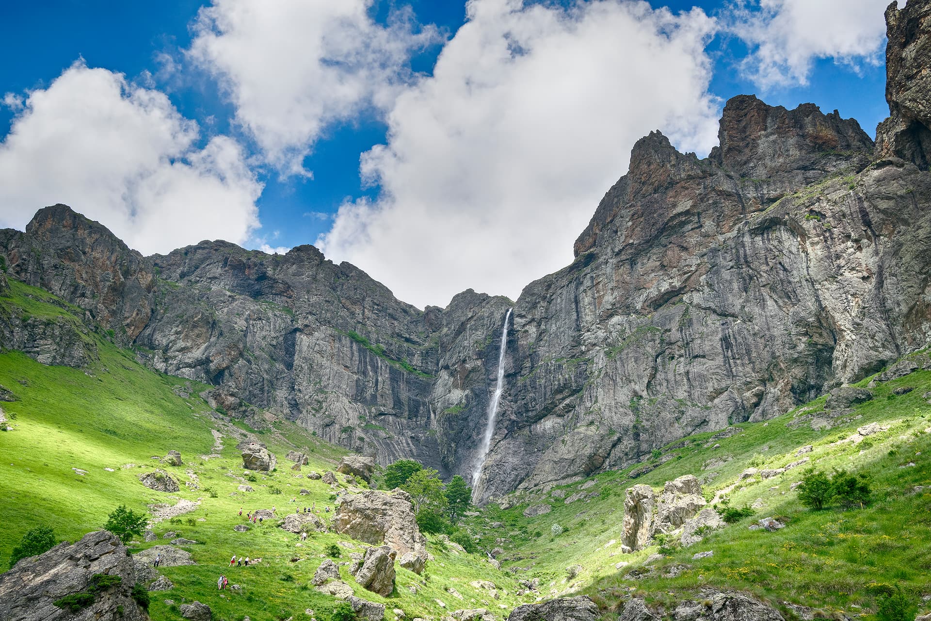
Selskata Mogila (2,017 m) is a peak in the Ravnets massif of the Kalofer mountain, north of Karlovo.
Ravnets (Chufadaritsa until 1942) rises south of the main Stara Planina ridge, between the Stara and Byala rivers; to the north a saddle at 1,870 m joins it to the Kalofer mountain at Zhaltesh peak and the Botev massif. Its crest is broad and flat, at 1,900–2,000 m, with low summits. The highest point is Ravnets peak (2,020.7 m).
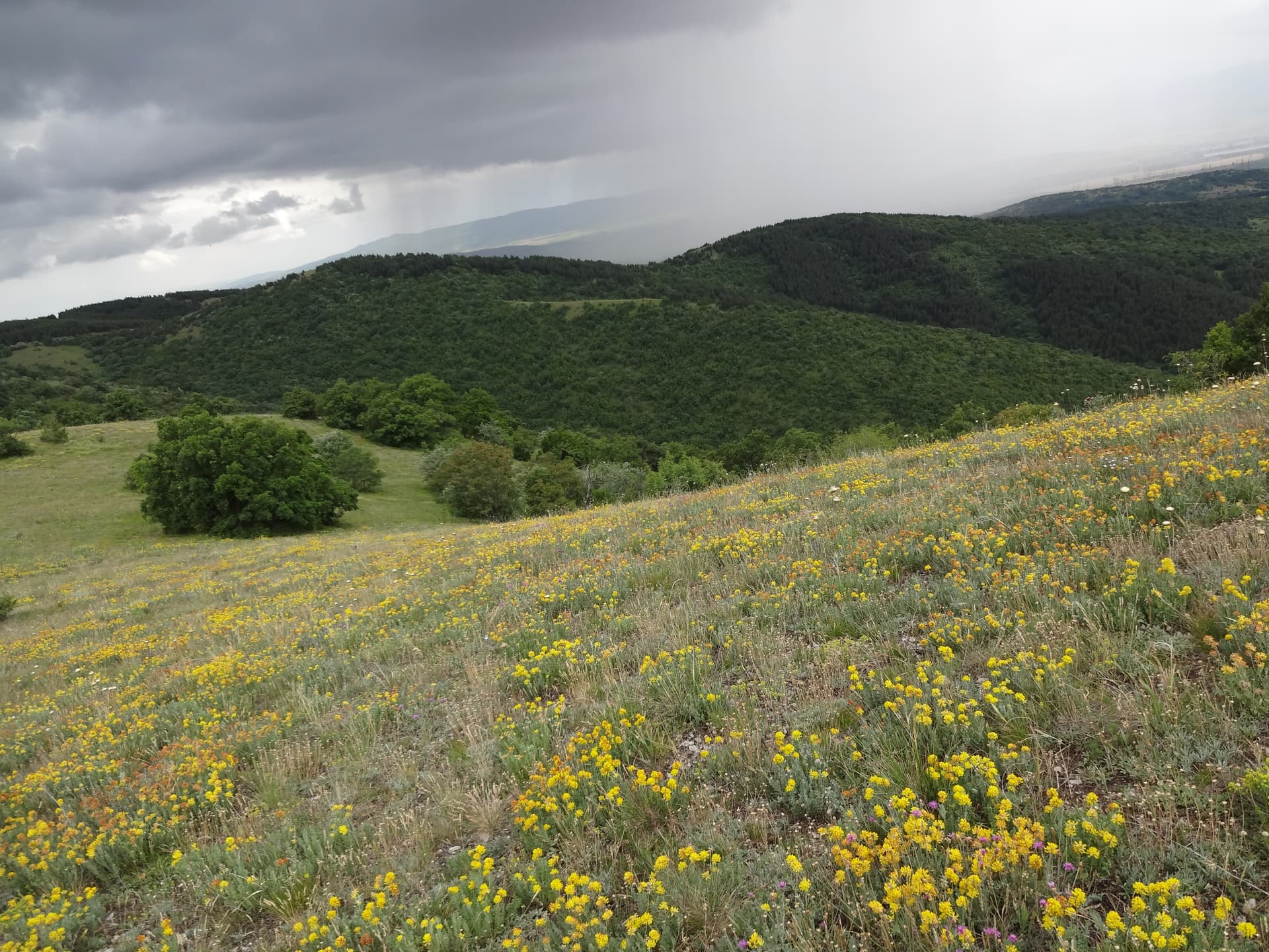
Selskata Mogila is one of the summits along the crest of the massif, together with Ravnets, Sinite Kamani, Belchu and Hayduta, and it is climbed on the hiking routes from Karlovo and the village of Vasil Levski. The massif is built of granite and crystalline rock, and the crest is covered in pasture. Ravnets lies in Central Balkan National Park; its huts are Vasil Levski, Hubavets, Balkanski Rozi and Ravnets.
Selskata Mogila is located in Plovdiv, Bulgaria.
Selskata Mogila is most easily reached by car. Use the coordinates above to navigate, or open the location in OpenStreetMap or your preferred maps app for turn-by-turn directions. Public transport options vary by region — for remote destinations a rental car gives the most flexibility.
Late spring through early autumn (May–September) is best for Selskata Mogila, when trails are clear of snow and weather is most stable. Higher peaks may hold snow into June and see fresh snow as early as October. Winter visits are for experienced mountaineers with proper gear.
Selskata Mogila reaches an elevation of 2,017 metres above sea level.
Hiking boots, layered clothing, water (1.5–2 L per person), sun protection, and a windproof jacket — mountain weather changes quickly. For longer routes also bring a map (paper or offline), a head torch, and emergency rations. Tell someone your planned route and expected return time.