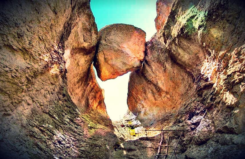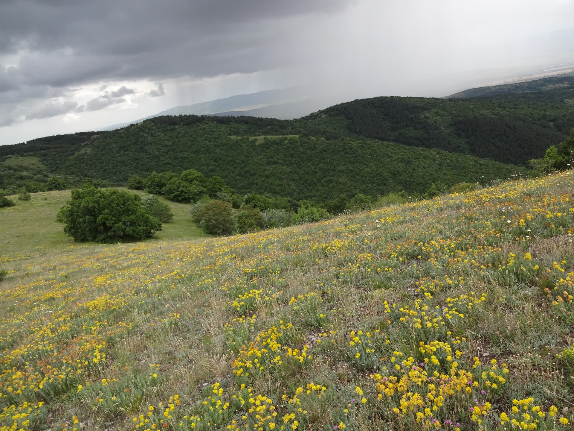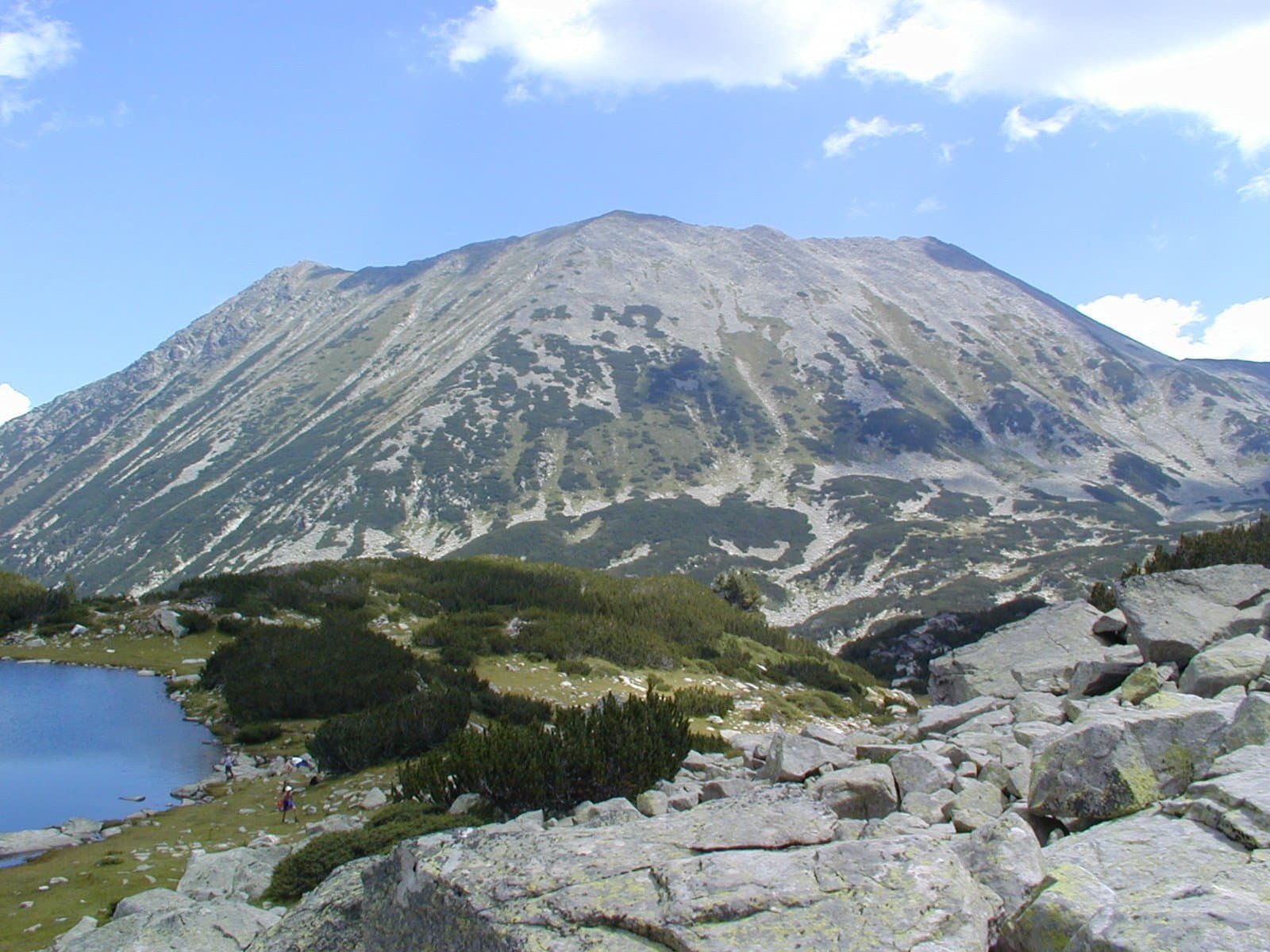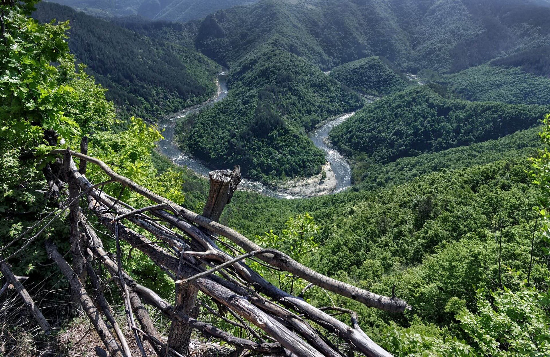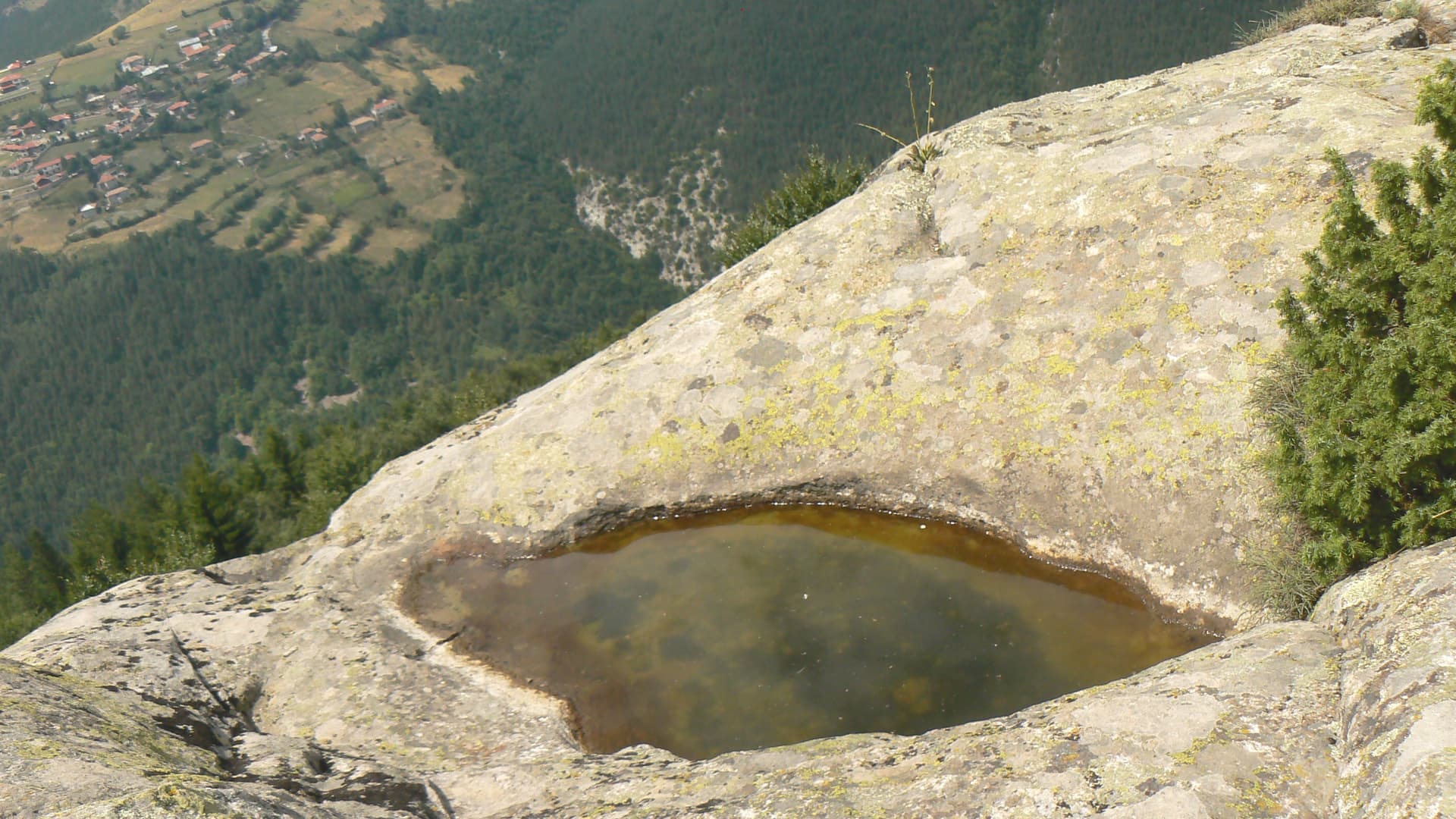
Belintash (also spelled Belantash, Beluntash, or "Beli Tashi") is one of the most mystical, highly energetic, and ancient natural and historical landmarks in Bulgaria. It is a massive, flat-topped mountain plateau nestled in the Rhodope Mountains, soaring at an altitude of 1,225 meters above sea level and located about 30 km southeast of the town of Asenovgrad, rising high above the villages of Mostovo, Topolovo, and Dolnoslav. Spanning roughly 5 decares along an elongated north-south rocky ridge with an average eastward slope of 18°, Belintash is recognized as the second-largest rock-cut sanctuary in Bulgaria, surpassed only by Perperikon. Ancient History and Archaeological Significance - A 7,000-Year-Old Complex: According to the pioneering research of the prominent Bulgarian prehistorian Prof. Ana Raduncheva, this high-altitude sanctuary was structurally and functionally linked to the nearby Eneolithic temple center near the village of Dolnoslav. Together, they operated as a unified, massive religious complex dating back nearly 7,000 years, making it one of the oldest sacred sites in Europe. - Sanctuary of the God Sabazios: It is hypothesized that in later historical epochs, when Thracian tribes (specifically the Bessi) populated these mountain ridges, they embraced this ancient holy site and dedicated it to their supreme solar deity, Sabazios (the Thracian equivalent of Dionysus). - Starmaps and Sacred Cisterns: The upper platform of the 300-meter-long altar-plateau features numerous hand-carved circular pits, channels, steps, and niches. Many researchers believe these geometric rock-cut systems represent a detailed prehistoric map of the constellations and the night sky. The plateau also features two large rock-cut basins (cisterns) that never dry up, even during the hottest summer months, surrounded by ancient stone seats carved directly into the bedrock. Magnetic Anomalies and Natural Wonders Belintash owes much of its mystical reputation to its extraordinary natural and geophysical features: - Strong Magnetic Anomaly: Both the Belintash plateau and the low-lying Dolnoslav temple lie within a powerful, scientifically recorded magnetic anomaly. Archaeoastronomical studies show that the prehistoric altars in the temple were strategically erected precisely on the spots with the most intense magnetic readings. - Sculptures of Nature: The plateau naturally forms a funnel shape, ending in a narrow stone ravine. When viewed from the north under specific sunlight conditions, the rock base of the plateau remarkably resembles a colossal lion lying on its belly. - The Giant Silhouettes: The surrounding mountain peaks (such as Draganitsa, Karadjov Kamak, In Kaya, and Shilnest Kamak) align naturally to mimic the silhouettes of giant male figures lying on their backs. One of these natural formations resembles a male body with arms crossed over his waist, facing the heavens. The surrounding mountain circle provides an excellent view of the main altar-plateau, allowing ancient crowds to witness the rituals performed on top. - Sanctuary for Rare Birds: Geologically, the massif is a flat summit located within an ancient pyroclastic volcanic flow. Today, its sheer cliffs serve as a vital nesting and resting ground for large birds of prey and other rare protected avian species, including the Red-rumped Swallow, the Lesser Kestrel, and the Alpine Swift.

Plovdiv
2.7 km away
Plovdiv
3.0 km away

Plovdiv
3.4 km away
Plovdiv
3.6 km away
Belintash is located in Plovdiv, Bulgaria.
Belintash is most easily reached by car. Use the coordinates above to navigate, or open the location in OpenStreetMap or your preferred maps app for turn-by-turn directions. Public transport options vary by region — for remote destinations a rental car gives the most flexibility.
Late spring through early autumn (May–September) is best for Belintash, when trails are clear of snow and weather is most stable. Higher peaks may hold snow into June and see fresh snow as early as October. Winter visits are for experienced mountaineers with proper gear.
Belintash reaches an elevation of 1,225 metres above sea level.
Hiking boots, layered clothing, water (1.5–2 L per person), sun protection, and a windproof jacket — mountain weather changes quickly. For longer routes also bring a map (paper or offline), a head torch, and emergency rations. Tell someone your planned route and expected return time.