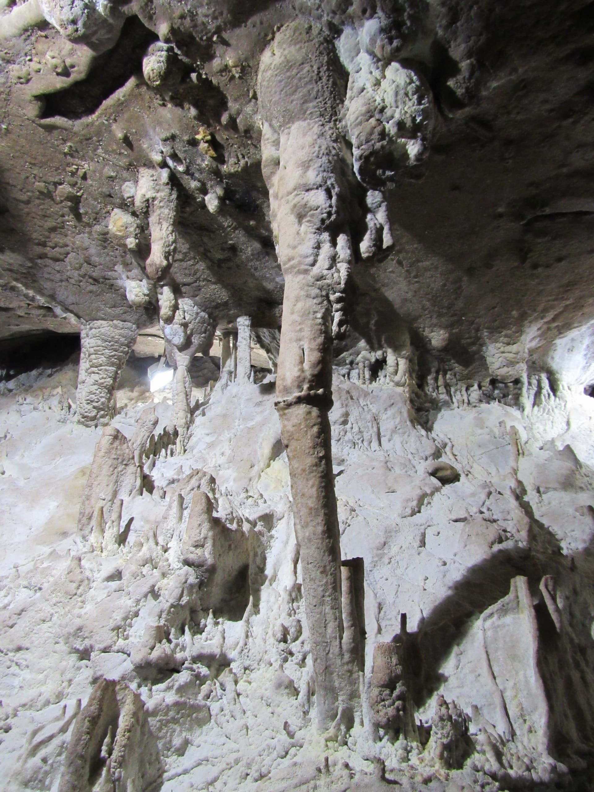
The hiking trail connecting the Bachkovo Monastery with Martsiganitsa Hut is one of the most demanding, intense, and grueling one-day routes in the Western Rhodope Mountains. The track is well-known among experienced hikers for its significant elevation gain and challenging terrain. It is crucial to note that Martsiganitsa Hut currently operates exclusively as a private event venue and does not provide classic tourist accommodation, making overnight stays unavailable. This route is ideal for fit hikers looking for a serious physical challenge away from the crowded tourist trails. Technical Trail Parameters (Based on GPS Data): - Total Distance: Approximately 9 kilometers (one way). - Total Elevation Gain: Over 1000 meters. - Duration: Around 4 hours of fast-paced hiking. - Difficulty Level: High (steep terrain, canyons, and lack of flat sections). - Recommendation: Due to the rocky and slippery nature of the terrain, high-quality hiking boots with excellent grip are absolutely mandatory. Detailed Step-by-Step Route Description Stage 1: From Bachkovo Monastery to the Red Wall Reserve Gate The trek begins at the main parking lot of the Bachkovo Monastery. The path follows an asphalt road that quickly transitions into a wide, long meadow. After about thirty minutes of steady walking, you will reach the end of the developed area, where the official entrance gate to the Chervena Stena (Red Wall) Biosphere Reserve stands. This is a strictly protected territory renowned for its immense biodiversity and stunning rock formations. Stage 2: Through the Dry River Canyon and Iron Ladders Immediately after entering the reserve, the trail becomes highly technical, following the rugged bed of a dry, rocky river. The ground here is covered with sharp rocks. Soon, hikers face the first major obstacle: steep rock steps equipped with vertical iron ladders and steel safety cables. These fixtures are essential for navigating the wet and slippery rocks within the canyon. This technical section repeats several times, demanding maximum focus and agility. Stage 3: The Forest Path and the 45-Degree Climb After exiting the canyon, the trail transforms into a dense forest zone. Shortly after, you will reach a designated rest area equipped with wooden tables and benches. This is a crucial landmark, as the most brutal ascent of the entire hike begins immediately after it. The path surges upward at an angle of nearly 45 degrees to clear the deep ravine. This single ridge accounts for a massive portion of the overall elevation gain. Once at the top, the path traverses sections that may be obstructed by fallen pine trees from past storms, requiring detours off the main track. Stage 4: The Ridge, Panoramic Views, and the Arrival at Martsiganitsa After hours of intense climbing through ravines and heavy woods, the trail finally emerges onto open ridges, revealing the first expansive, panoramic views of the majestic Rhodope Mountains. In the event of summer storms or lightning, this section is highly exposed due to the total lack of natural shelters or mountain huts. The final kilometer before reaching the destination cuts across vast mountain meadows. The path leads past a fresh mountain spring fountain located just before the first villa structures. Immediately after, you will step onto a paved asphalt road that runs straight to the large wooden gazebo at the junction for Martsiganitsa Hut. This checkpoint serves as the best spot to rest, pack up, and arrange a vehicle pick-up if the mountain weather takes a turn for the worse.

Plovdiv
1.3 km away
Plovdiv
1.4 km away
Plovdiv
2.5 km away
Plovdiv
2.8 km away
h. Martsiganitsa - Bachkovskiya manastir is located in Plovdiv, Bulgaria.
h. Martsiganitsa - Bachkovskiya manastir is most easily reached by car. Use the coordinates above to navigate, or open the location in OpenStreetMap or your preferred maps app for turn-by-turn directions. Public transport options vary by region — for remote destinations a rental car gives the most flexibility.
h. Martsiganitsa - Bachkovskiya manastir is best walked from May through October, when the trail is clear of snow and weather is generally stable. Summer middays can be hot at lower altitudes — start early. Winter walking requires proper gear and route knowledge.
Suitability depends on the specific route. Bulgarian trails range from paved family-friendly paths to multi-day high-mountain crossings. Check the length, elevation gain, and surface before setting off. Sturdy footwear, water, and a basic map (offline or paper) are essential even on short walks.