The Kutra Eco-trail is one of the most unique, picturesque, and chapel-dense hiking routes in the Rhodope Mountains, situated right next to the town of Asenovgrad. Due to the immense number of Christian shrines and chapels along the track, this region is widely celebrated throughout Bulgaria by its poetic nickname Little Jerusalem. The trail offers a perfect blend of moderate physical exercise, panoramic vistas overlooking the Thracian Plain, and rich cultural heritage. Detailed Hiking Route Guide The Start of the Trek and the First Chapels The walking trail officially begins in front of the Angel Kanchev School in Asenovgrad, where a convenient parking lot for cars is available. The route follows a clear tourist marking pattern, loop-tracking around the school building and gradually gaining elevation up the hillside. At the very beginning, hikers pass sequentially by the Saint Athanasius Chapel and the Saint George Chapel. Immediately after them, the first water fountain along the route is reached, positioned under the cool shade of a massive, centuries-old plane tree. After the water fountain, the trail winds past a large natural rock formation situated between the Saint Barbara Chapel and the medieval Saint John the Baptist Church, which local residents call by its short name Saint Yan. Just a few meters further, hikers find themselves in front of the Presentation of the Blessed Virgin Mary Chapel, also recognized in local Asenovgrad folklore as Kalinitsata. From this point, the trail turns left and downhill, while at the next intersection, the markings guide you sharply upward. Ascending to the Dirt Road and Mount Kutra Following a short and dynamic passage over stone stairs and narrow paths between residential houses, you emerge at the actual start of the forest hiking trail. The path continues upward with a serious incline for about 300 meters before opening onto a wide dirt road. To the side of the track, the newly constructed Saint Christopher Chapel comes into view. You continue along the dirt road, which gently and slowly gains altitude through nature. After another 400 meters, you reach the seventh consecutive chapel along the route - Saint Nestor. The location is excellently equipped and offers a wonderful panoramic vista over the Balkan Mountains ridge and the vast Thracian Plain, rendering it perfect for a short break. To the side of the chapel, signposts and markings guide hikers onto a smaller, narrower dirt road. The terrain here becomes gentler, tracking past secluded villas, vineyards, and cultivated lands. After about 200 meters, the road makes a slight left turn and reaches the last building in this small villa zone. From here, you take a well-defined forest trail that climbs the slope with two large, beautiful switchbacks, bringing hikers to a small flat meadow right at the base of Mount Kutra. Three large educational boards are installed on the meadow, providing detailed information about the biodiversity, rare flora, and fauna of the Rhodopes. From Danyo's Fountain to the Transfiguration of Christ Following a short and almost entirely flat section, you arrive at a mountain fork. The markings lead hikers down through a cool mixed forest, and after about 400 meters, bring them to one of the most iconic and beloved spots near Asenovgrad - Danyo's Fountain (Danyova Cheshma). A wooden gazebo, several benches with tables, and two signboards are set up in this cozy perimeter. The area has long been popular among Asenovgrad citizens as a cool refuge during the summer heat. The second water fountain of the trek is located here, though it is important to note that only one of the two fountains on the meadow flows year-round. From Danyo's Fountain, the trail continues with a gentle and pleasant descent through the forest. After about 10 minutes, you reach another fork with a bench and two signboards. The markings guide travelers left and downhill, bypassing the western slope of Saint Dimitar Peak, where the chapel of the same name is built on the highest point. The panorama of Asenovgrad and the initial trail clearly reveal themselves below the path. The trail winds in switchbacks, loses altitude, and reaches the Nativity of the Blessed Virgin Mary Chapel, known among locals as Saint Efhiromeni. The trek continues along an open slope with low shrub vegetation and, after about 5 minutes, descends to the third water fountain of the route, built and dedicated to the 1300th anniversary of the founding of the Bulgarian State. Next to it stands the new Transfiguration of Christ Chapel, also called Saint Sotirya. Closing the Circular Route in the Town Entering the town limits, the route follows a steep urban street that leads to a cozy small square with a centuries-old plane tree in the center, where the fourth water fountain along the track is located. The path passes by the oldest active Orthodox church in Asenovgrad - Dormition of the Mother of God, locally known as the Deep Church (Dalbokata Tsarkva). In the final stage, the route passes by four more chapels: Saint Peter and Paul Apostles, Saint Stylian, Saint Cosmas and Damian, and Saint 40 Martyrs. In this manner, you arrive back at the parking lot in front of the Angel Kanchev School, successfully closing the circular route. In total, hikers discover 14 chapels and one historical church along the way. Technical Parameters of the Eco-Trail - Water fountains along the trail: Four pieces - Starting elevation point: 270 meters above sea level at Angel Kanchev School in Asenovgrad - Highest elevation point: 510 meters above sea level at the base of Mount Kutra - Road infrastructure: Asphalt streets, unpaved dirt road, forest hiking trail - Total distance: 6 km - Approximate hiking time: 2 hours and 30 minutes - Tourist trail markings: White - green - white - Difficulty level: Moderate difficulty

Plovdiv
0.8 km away
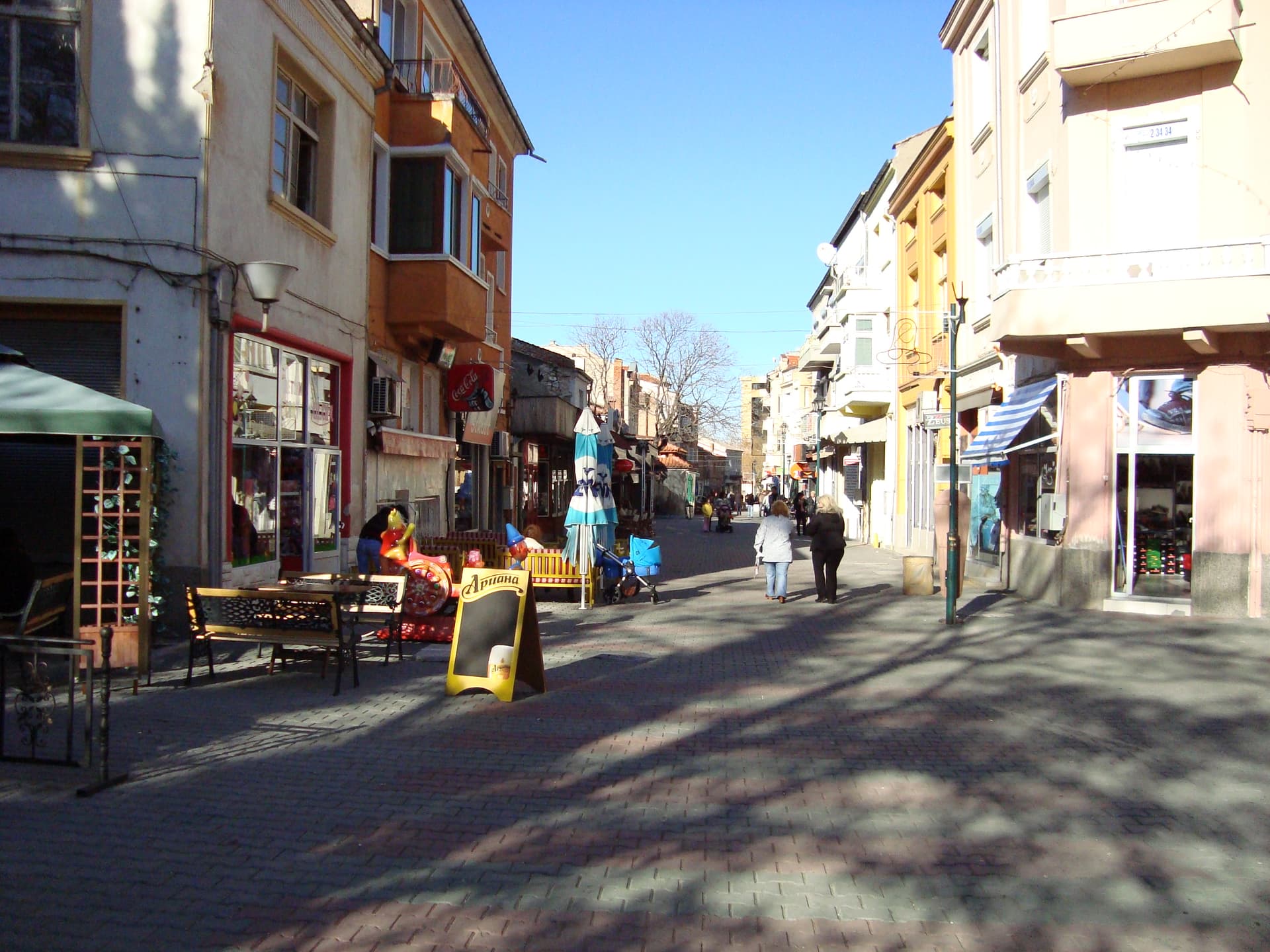
Plovdiv
1.3 km away
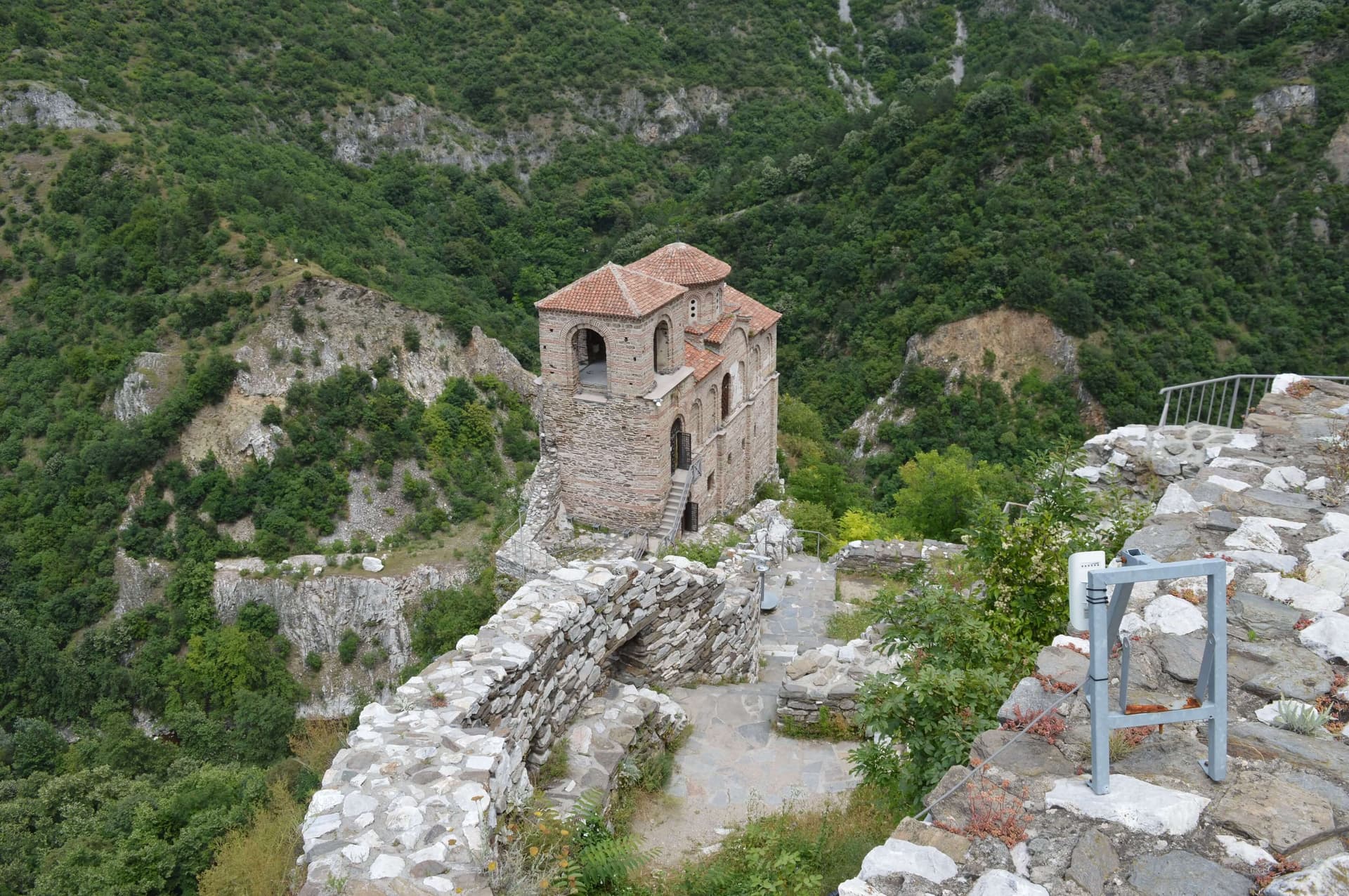
Plovdiv
1.5 km away
Plovdiv
1.6 km away
Eco Trail Kutra is located in Plovdiv, Bulgaria.
Eco Trail Kutra is most easily reached by car. Use the coordinates above to navigate, or open the location in OpenStreetMap or your preferred maps app for turn-by-turn directions. Public transport options vary by region — for remote destinations a rental car gives the most flexibility.
Eco Trail Kutra is best walked from May through October, when the trail is clear of snow and weather is generally stable. Summer middays can be hot at lower altitudes — start early. Winter walking requires proper gear and route knowledge.
Suitability depends on the specific route. Bulgarian trails range from paved family-friendly paths to multi-day high-mountain crossings. Check the length, elevation gain, and surface before setting off. Sturdy footwear, water, and a basic map (offline or paper) are essential even on short walks.