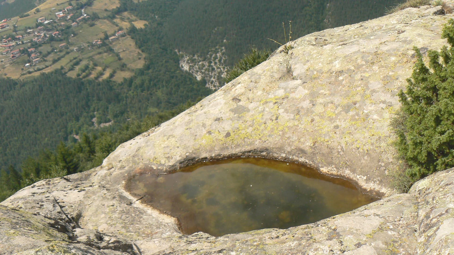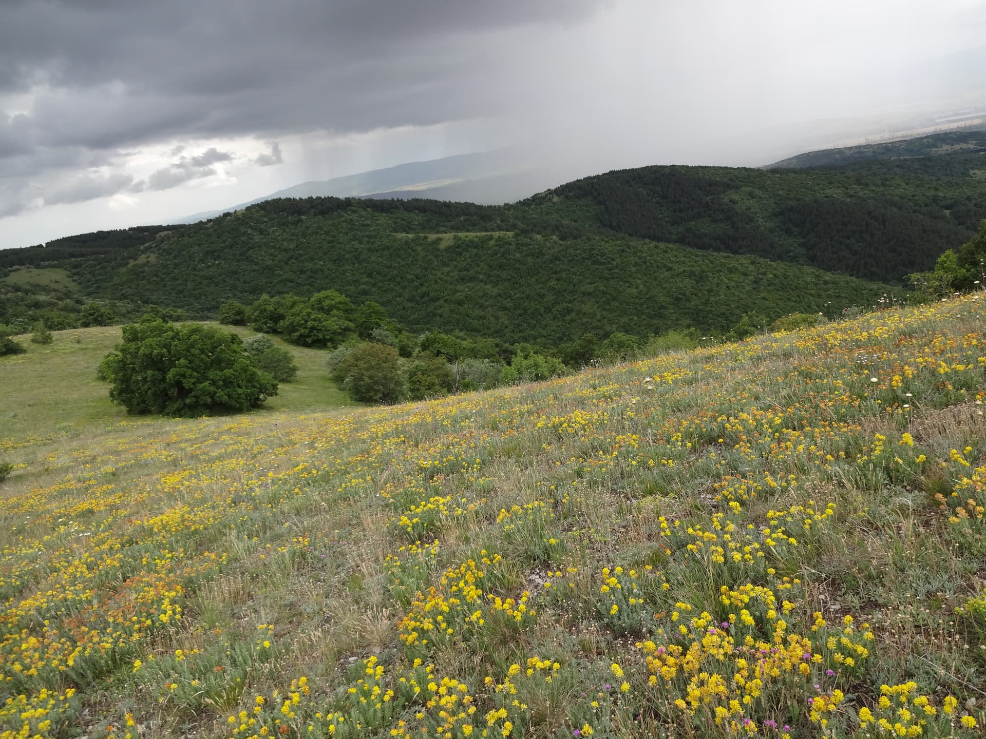
Botev Peak is the highest point of the Balkan Mountains (Stara Planina) and its Kaloferski ridge, soaring to an impressive altitude of 2376 meters. Situated on the administrative border between the Lovech and Plovdiv regions, its massive, dome-like mass dominates the entire surrounding horizon, with the closest towns being Kalofer and Karlovo to the south, and Apriltsi to the north. The peak is characterized by a vast alpine meadow with a granite foundation (known as the Botev Thrust), shaped by ancient volcanic rock structures. While the summit area is relatively flat, it is surrounded by sheer, dramatic drops — the steep, rocky precipices of the Northern Dzhendem fall away to the north, while the vertical walls of the Southern Dzhendem plunge to the south.
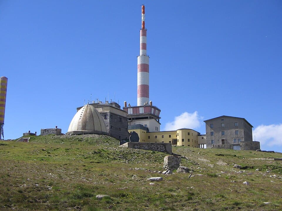
Botev is notorious as the most wind-swept location in Bulgaria, where mountain weather changes instantly. Since 1966, a major meteorological and television relay station has operated at the very top, broadcasting signals to over 65% of the country. Historically, the peak was known as Yumrukchal and Ferdinandov Peak before being officially renamed in 1950 to honor the national poet and revolutionary Hristo Botev.
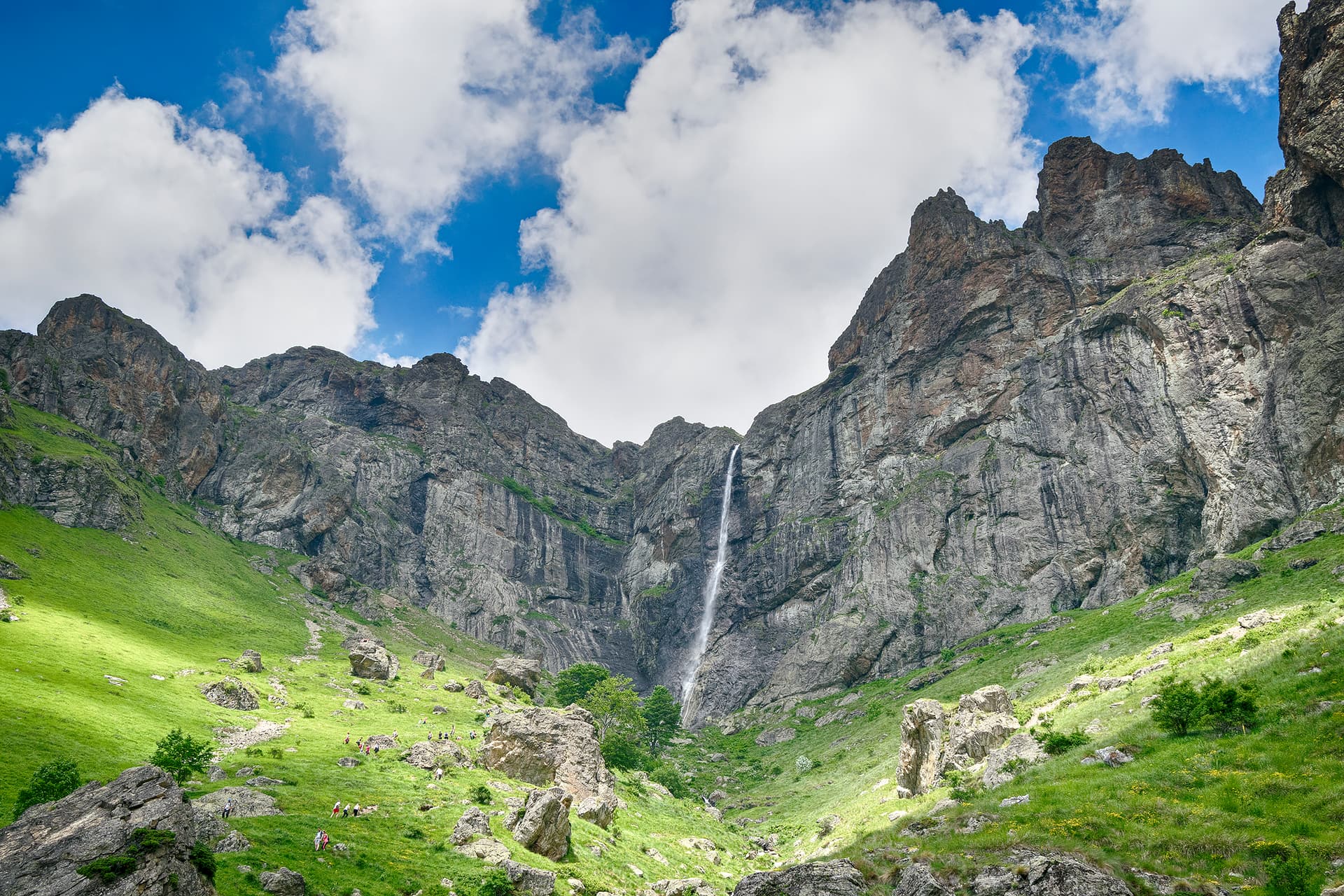
As the highest peak in the range, Botev is a prominent highlight of the "100 National Tourist Sites" and the "Conqueror of the 10 Mountain Peaks" national hiking challenges. Commemorative stamps can be collected at the meteorological station, the tourist shelter on the summit, or at the nearby Botev Shelter. Its steep southern slopes hide the iconic Rayski Skali (Heavenly Rocks), from which tumbles the highest permanent waterfall in Bulgaria and the entire Balkan Peninsula — Raysko Praskalo (124.5 meters), fed by the persistent snow patches right below the peak. The location is immensely popular among mountaineers and climbers, but the rugged alpine terrain demands proper gear, physical endurance, and strict attention to trail markers, as thick fogs and sudden temperature drops carry a significant risk of getting lost. Botev Peak is also a legendary milestone along the international E3 long-distance trail (Kom - Emine).
Several classic hiking routes approach the mountain first-rate from all directions:

Plovdiv region
1.1 km away
Plovdiv region
1.8 km away
Lovech region
3.2 km away
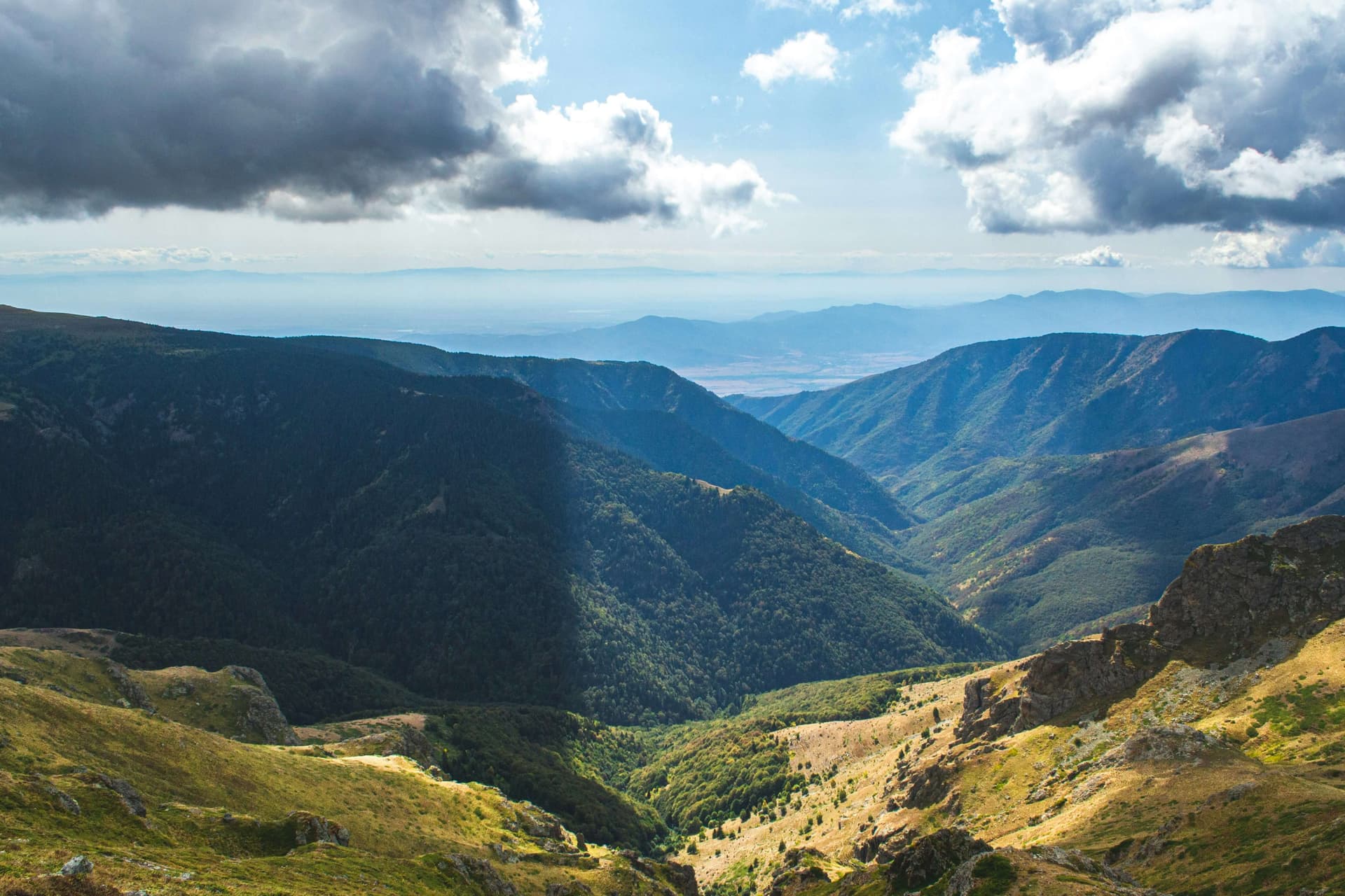
A guide to Central Balkan National Park: its nine strict reserves, the UNESCO-listed primeval beech forests of Boatin and Tsarichina, the Dzhendema cliffs, bears and wolves, and which town to enter from.
How to hike Botev Peak (2,376 m), the highest summit of the Balkan Mountains, from Kalofer — past Raysko Praskalo, the highest waterfall in the Balkans.
The highest peak of every major Bulgarian mountain — Musala, Vihren, Botev and more, with elevations, difficulty, base towns and how to climb each.
Botev Peak is located in Plovdiv, Bulgaria.
Botev Peak is most easily reached by car. Use the coordinates above to navigate, or open the location in OpenStreetMap or your preferred maps app for turn-by-turn directions. Public transport options vary by region — for remote destinations a rental car gives the most flexibility.
Late spring through early autumn (May–September) is best for Botev Peak, when trails are clear of snow and weather is most stable. Higher peaks may hold snow into June and see fresh snow as early as October. Winter visits are for experienced mountaineers with proper gear.
Botev Peak reaches an elevation of 2,376 metres above sea level.
Hiking boots, layered clothing, water (1.5–2 L per person), sun protection, and a windproof jacket — mountain weather changes quickly. For longer routes also bring a map (paper or offline), a head torch, and emergency rations. Tell someone your planned route and expected return time.