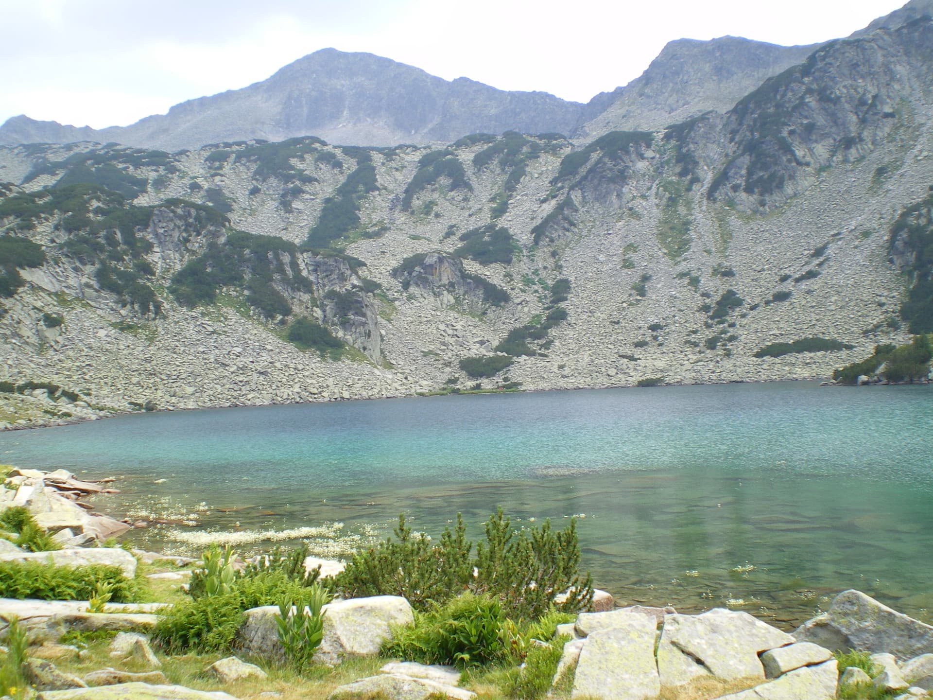
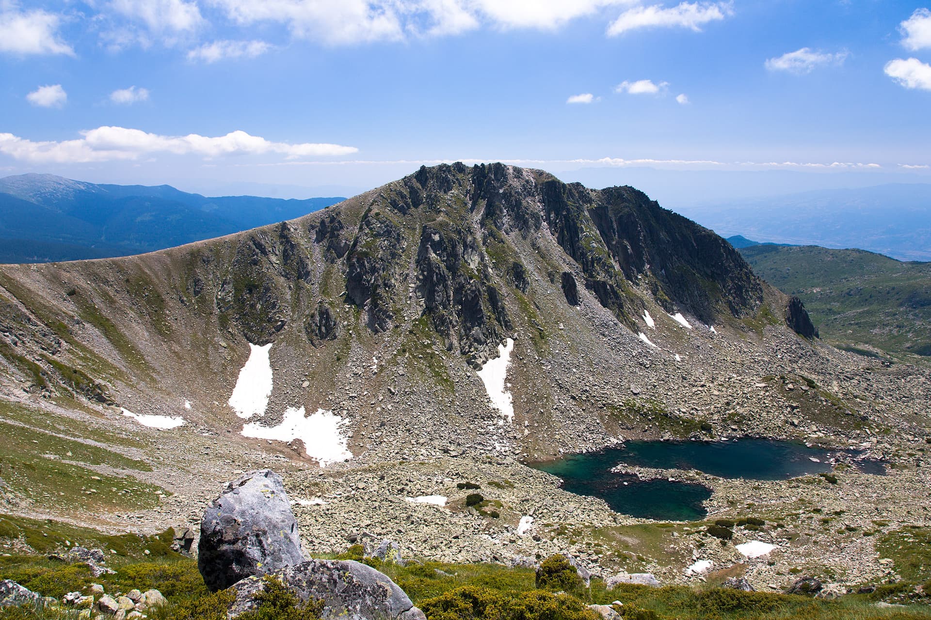
The trail from Sinanitsa Hut to Pirin Hut is one of the classic and most picturesque challenges in Northern Pirin, offering unforgettable panoramas and a true mountain experience. This route, located in the Blagoevgrad region, falls under the "high-grade" hiking category and is suitable for well-prepared mountaineers.
Starting from the scenic Sinanitsa Hut, nestled beside the eponymous lake, the path immediately begins to gain elevation. The first section is steep, winding through dwarf pines and rockfalls, revealing increasingly impressive views towards Sinanitsa Peak and the surrounding cirques. After approximately 2-2.5 hours, you reach Sinanitsa Pass – one of the most breathtaking panoramic viewpoints in Pirin. From here, a stunning 360-degree vista unfolds: north towards Vlahini Lakes and the mighty Vihren massif, south towards Koziyat Gryb, and west towards the expansive ridges of Northern Pirin.
After the pass, the route continues with a gradual descent, passing by the Vlahini Lakes, mirror-like in their crystal clarity. The trail is well-marked but rocky in places and requires attention. You will cross alpine meadows dotted with endemic plant species and pass ancient Bosnian pines. After a short detour from the main path leading to Vihren and Koncheto, the final descent towards Pirin Hut begins. This section is gentler, passing through forests of Bosnian pine, offering coolness and tranquility.
Arriving at Pirin Hut, situated in the "Trite Reki" (Three Rivers) area, is a well-deserved reward. The total duration of the hike is between 6 and 8 hours, depending on your pace and the number of stops for rest and photos. This route is more than just a trek – it's a journey through the heart of Pirin that will leave you with lasting memories of the mountain's grandeur and wild beauty.
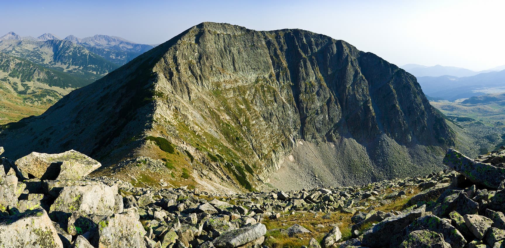
Blagoevgrad region
2.7 km away

Blagoevgrad region
4.5 km away
Sinanitsa Hut – Pirin Hut is located in Blagoevgrad, Bulgaria.
Sinanitsa Hut – Pirin Hut is most easily reached by car. Use the coordinates above to navigate, or open the location in OpenStreetMap or your preferred maps app for turn-by-turn directions. Public transport options vary by region — for remote destinations a rental car gives the most flexibility.
Sinanitsa Hut – Pirin Hut is best walked from May through October, when the trail is clear of snow and weather is generally stable. Summer middays can be hot at lower altitudes — start early. Winter walking requires proper gear and route knowledge.
Suitability depends on the specific route. Bulgarian trails range from paved family-friendly paths to multi-day high-mountain crossings. Check the length, elevation gain, and surface before setting off. Sturdy footwear, water, and a basic map (offline or paper) are essential even on short walks.