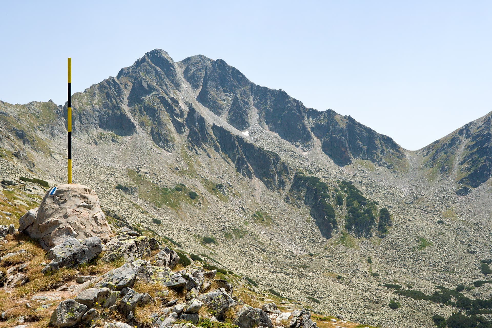
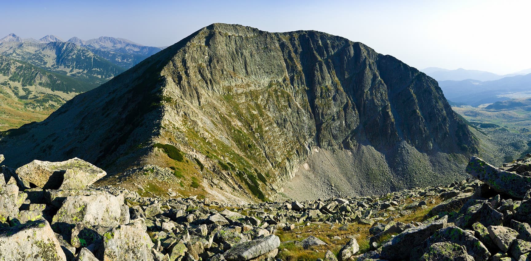
Standing at 2,732 meters, Banderishki Chukar is the 12th highest peak in the Pirin Mountains and the highest granite peak (karling) on the main ridge south of Vihren. Its alpine appearance dominates the backdrop of the Banderitsa Valley, making it a prominent landmark for hikers and mountaineers alike. Landscape and Features - Topography: From the north, the peak looks formidable and alpine, yet its slopes are largely composed of steep moraine fields descending to the beautiful Dalgotо (Long) Lake. - Connections: To the northwest lies the jagged ridge of Donchovi Karauli, while to the south, a side ridge leads to Bashliyski Chukar Peak (2,683 m). - Summit Landmarks: The top is marked by a metal cross and a small chapel, offering a place for reflection amidst the vast mountain views. Climbing and Access Although no marked tourist trail passes directly over the summit, it is accessible from several directions: - Starting Points: Vihren Hut, Demyanitsa Hut, and Spano Pole Shelter. - Difficulty: The most popular route is along the ridge via the Banderishka or Bashliyska gates. For climbers, the north face offers a route of technical category II "b".
Blagoevgrad
0.7 km away

Blagoevgrad
1.4 km away
Blagoevgrad
1.5 km away

Blagoevgrad
1.9 km away
Banderishki chukar is located in Blagoevgrad, Bulgaria.
Banderishki chukar is most easily reached by car. Use the coordinates above to navigate, or open the location in OpenStreetMap or your preferred maps app for turn-by-turn directions. Public transport options vary by region — for remote destinations a rental car gives the most flexibility.
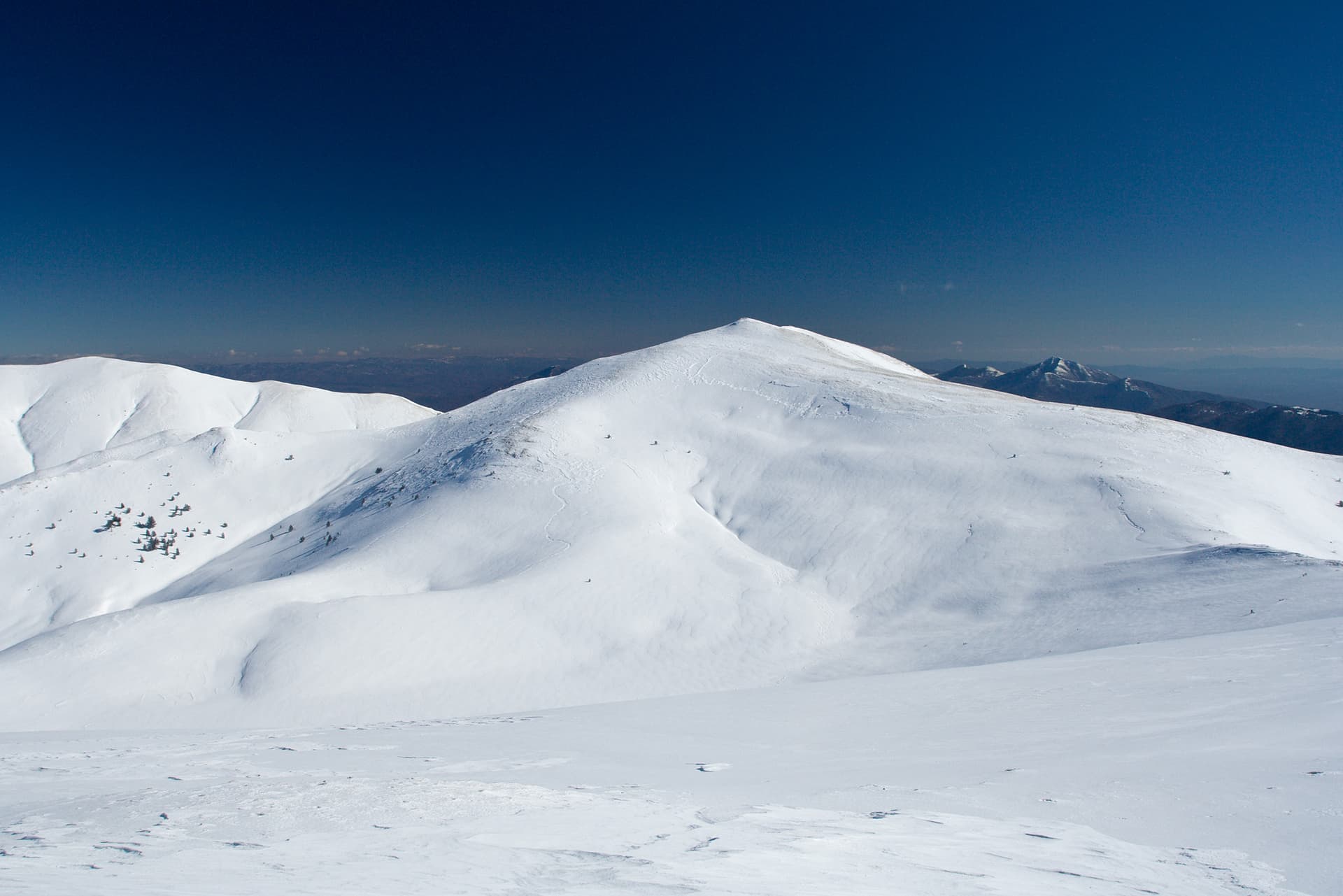
Late spring through early autumn (May–September) is best for Banderishki chukar, when trails are clear of snow and weather is most stable. Higher peaks may hold snow into June and see fresh snow as early as October. Winter visits are for experienced mountaineers with proper gear.
Banderishki chukar reaches an elevation of 2,732 metres above sea level.
Hiking boots, layered clothing, water (1.5–2 L per person), sun protection, and a windproof jacket — mountain weather changes quickly. For longer routes also bring a map (paper or offline), a head torch, and emergency rations. Tell someone your planned route and expected return time.