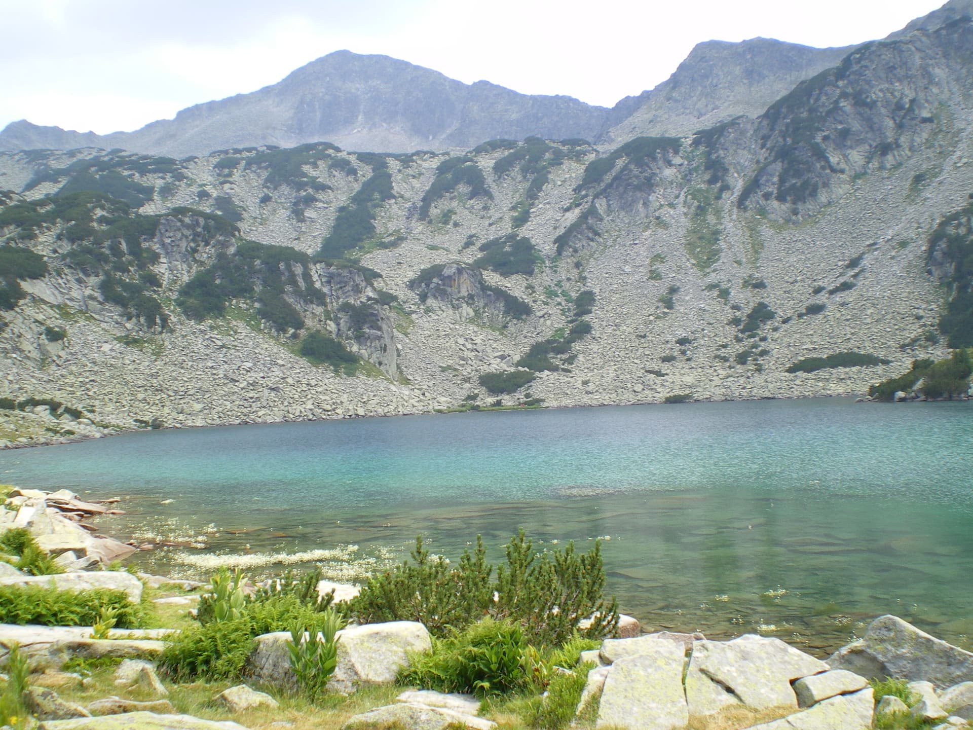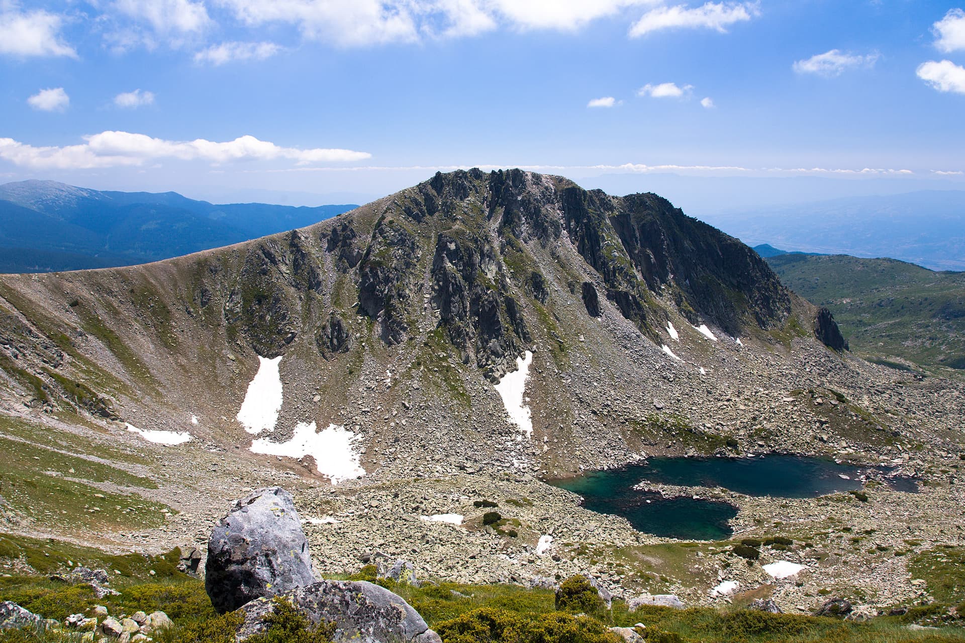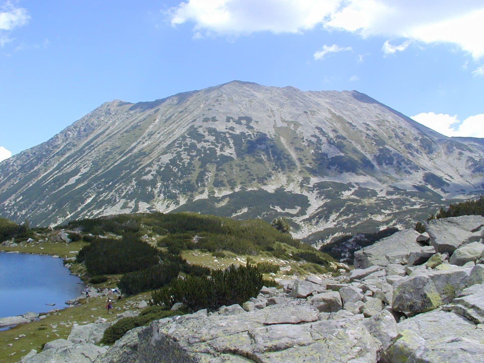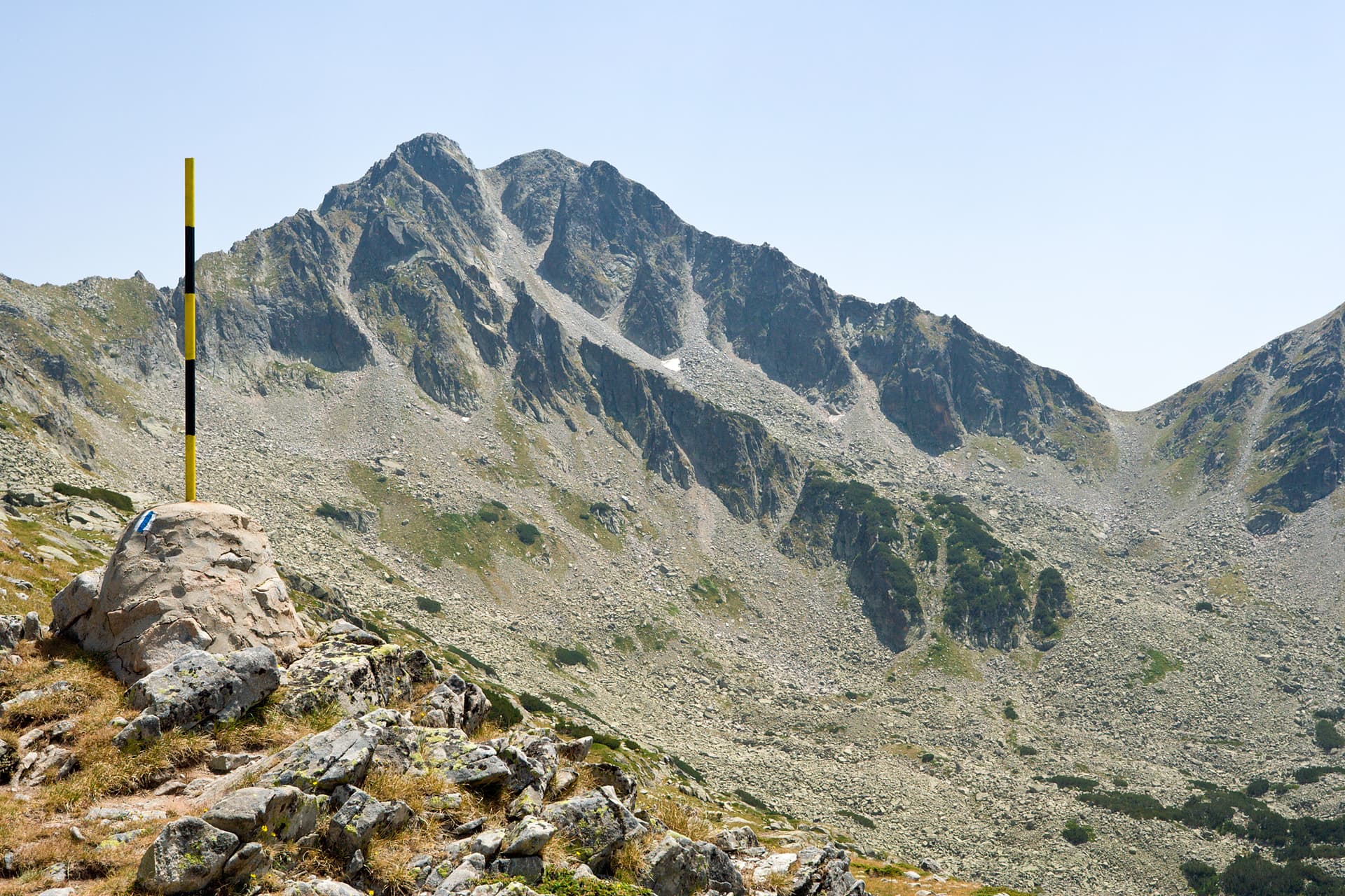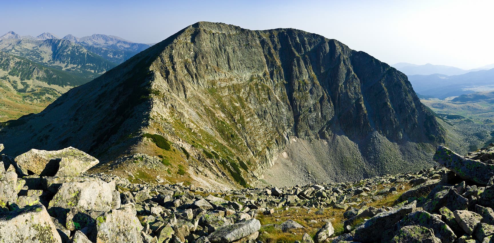
Bashliyski Chukar is a granite peak in Northern Pirin. It is 2,683 m high. It sits on a short ridge that runs south-south-west from Banderishki Chukar and divides the Malko Spano Pole and Bashliyski cirques.
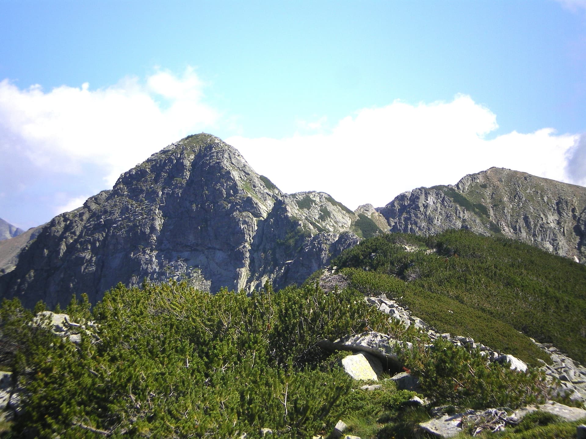
Its west face is a horseshoe-shaped vertical wall more than 200 m high, with a grade 5a climbing route. To the east the slopes are gentle and rocky higher up and covered in dwarf pine lower down. Between Bashliyski and Banderishki Chukar lies a sharp secondary cirque holding the second-highest and deepest lake of the Bashliyski cirque.
The summit is an easy climb from Bashliysko lake to the north-east or via the saddle north of the peak. The starting points are the Yane Sandanski and Begovitsa huts and the Spano Pole shelter. During the "Revival Process" the peak was renamed Glavnishki Chukar, and that name appears on newer maps, but hikers still call it Bashliyski.
Blagoevgrad region
1.9 km away
Blagoevgrad region
2.1 km away
Bashliyski chukar is located in Blagoevgrad, Bulgaria.
Bashliyski chukar is most easily reached by car. Use the coordinates above to navigate, or open the location in OpenStreetMap or your preferred maps app for turn-by-turn directions. Public transport options vary by region — for remote destinations a rental car gives the most flexibility.
Late spring through early autumn (May–September) is best for Bashliyski chukar, when trails are clear of snow and weather is most stable. Higher peaks may hold snow into June and see fresh snow as early as October. Winter visits are for experienced mountaineers with proper gear.
Bashliyski chukar reaches an elevation of 2,683 metres above sea level.
Hiking boots, layered clothing, water (1.5–2 L per person), sun protection, and a windproof jacket — mountain weather changes quickly. For longer routes also bring a map (paper or offline), a head torch, and emergency rations. Tell someone your planned route and expected return time.