MestalaMestala
HomePlacesMapTripBlogAboutFAQ
EN|БГ

Discover Bulgaria with Mestala.

AboutFAQLicensePrivacy
MountainsSofia Province

Shatar

HomePlacesMountainsShatar
Elevation: 2,495 mCoordinates: 42.21306, 23.61242View on OpenStreetMap

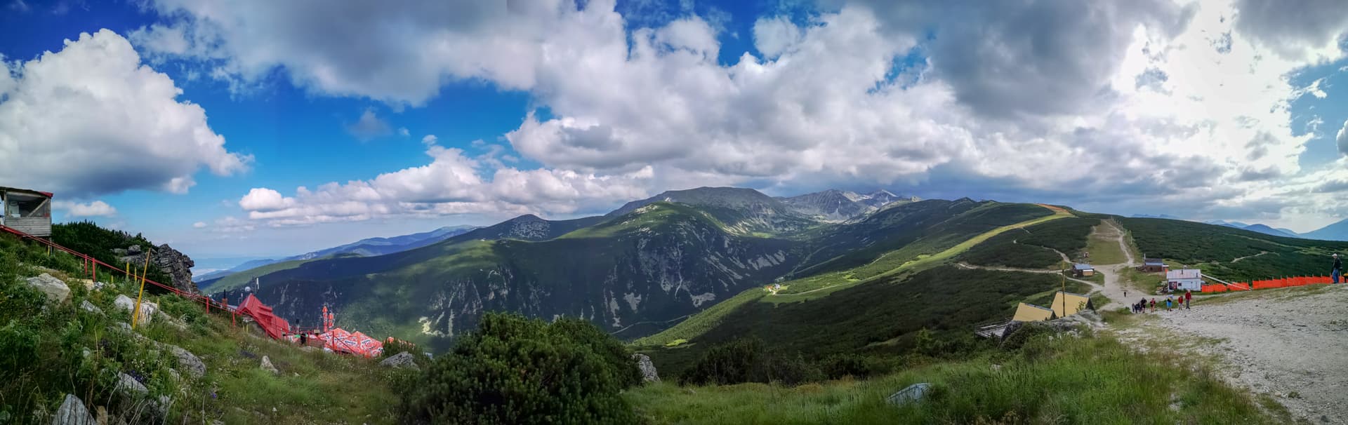
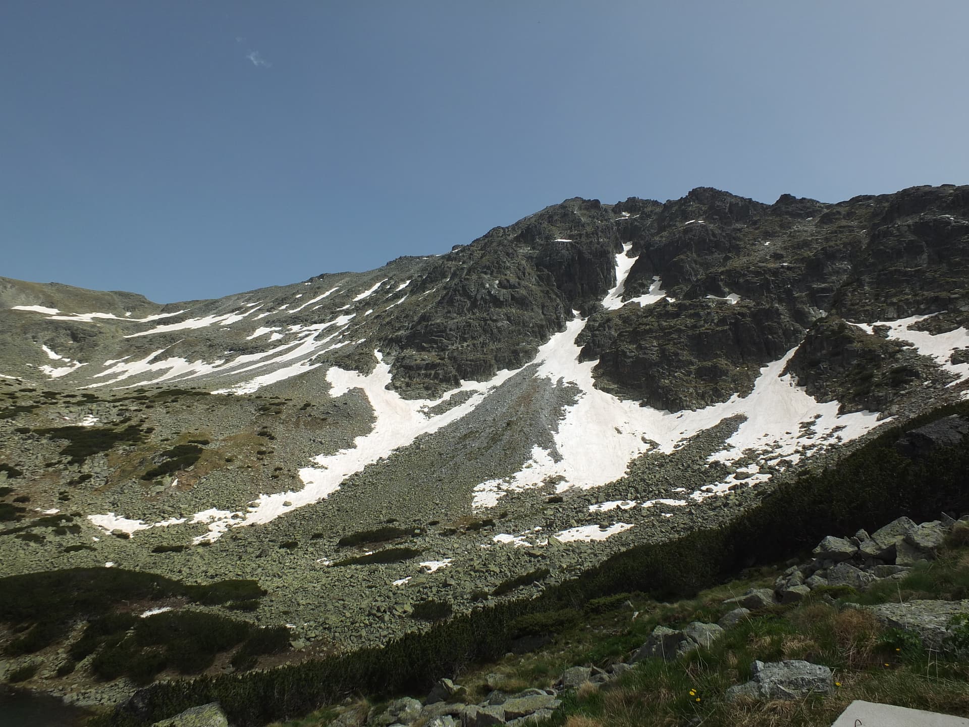
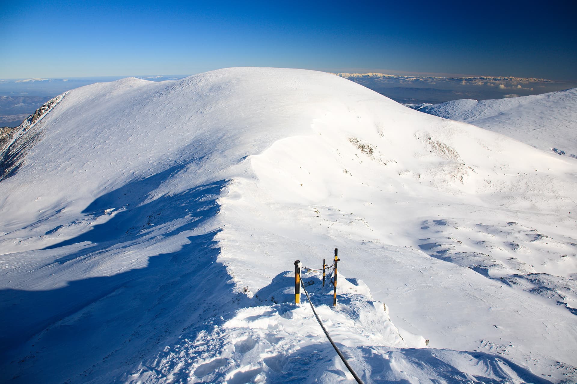
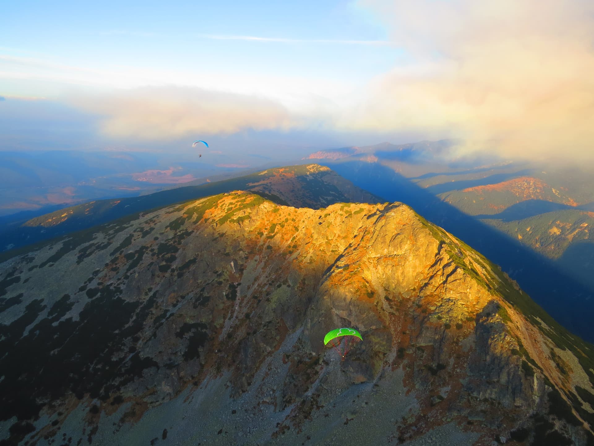
"Shatra" (meaning "Tent" or "Marquee") is one of the most impressive and challenging peaks in Vitosha Mountain, majestically rising in the northwestern part of the range, within the Sofia region. With its rugged, rocky formations and exposed ridges, it offers unforgettable panoramic views that take your breath away, revealing vast horizons towards the Sofia Plain, the Balkan Mountains, Rila, and the distant slopes of Verila. The ascent to Shatra is an adventure that rewards every hiker with a sense of freedom and accomplishment. The most common routes start from "Planinarska Pesen" Hut or "Zlatni Mostove" (Golden Bridges), passing through diverse forest terrains and open areas. The trails are well-marked but in places require greater attention and good physical preparation, especially in sections with steeper climbs and stony passages. The peak is also a key point along the "Vitosha 100" ultra-marathon route, making it popular among mountain running and cycling enthusiasts. Representing a true natural fortress, Shatra is an ideal destination for year-round tourism. In spring and summer, the greenery is lush, and the air is crystal clear, while autumn paints the slopes in a palette of golden and red hues. Winter transforms Shatra into a fairy-tale world, but requires special equipment and experience. Regardless of the season, a visit to Shatra is an experience that will leave lasting memories and bring you closer to the wild beauty of Vitosha. Bring your camera, because the views from the peak are a true feast for the senses!

Nearby Places

Musala Pathway
Trails

Musala Pathway

Sofia Province

1.7 km away

Studeniya Chal
Mountains

Studeniya Chal

Sofia Province

2.9 km away

Yastrebets
Mountains

Yastrebets

Sofia Province

3.0 km away

Irechek
Mountains

Irechek

Sofia Province

3.7 km away

More to explore

Musala
Mountains

Musala

Sofia Province

Ibar
Mountains

Ibar

Sofia Province

Ravni chal
Mountains

Ravni chal

Sofia Province

Glavinitsa
Mountains

Glavinitsa

Sofia Province

Frequently asked questions

Where is Shatar located?

Shatar is located in Sofia Province, Bulgaria.

How do I get to Shatar?

Shatar is most easily reached by car. Use the coordinates above to navigate, or open the location in OpenStreetMap or your preferred maps app for turn-by-turn directions. Public transport options vary by region — for remote destinations a rental car gives the most flexibility.

What is the best time to visit Shatar?

Late spring through early autumn (May–September) is best for Shatar, when trails are clear of snow and weather is most stable. Higher peaks may hold snow into June and see fresh snow as early as October. Winter visits are for experienced mountaineers with proper gear.

How high is Shatar?

Shatar reaches an elevation of 2,495 metres above sea level.

What should I bring when visiting Shatar?

Hiking boots, layered clothing, water (1.5–2 L per person), sun protection, and a windproof jacket — mountain weather changes quickly. For longer routes also bring a map (paper or offline), a head torch, and emergency rations. Tell someone your planned route and expected return time.