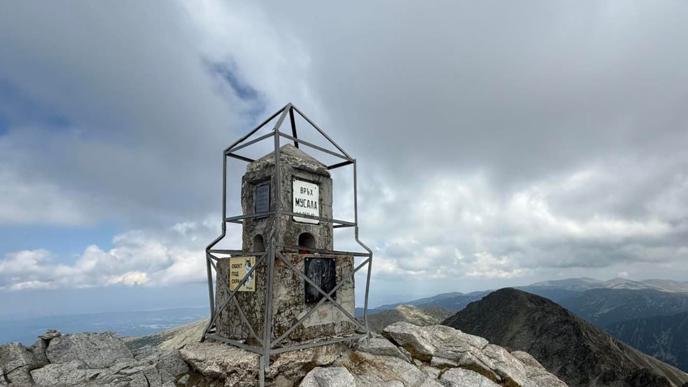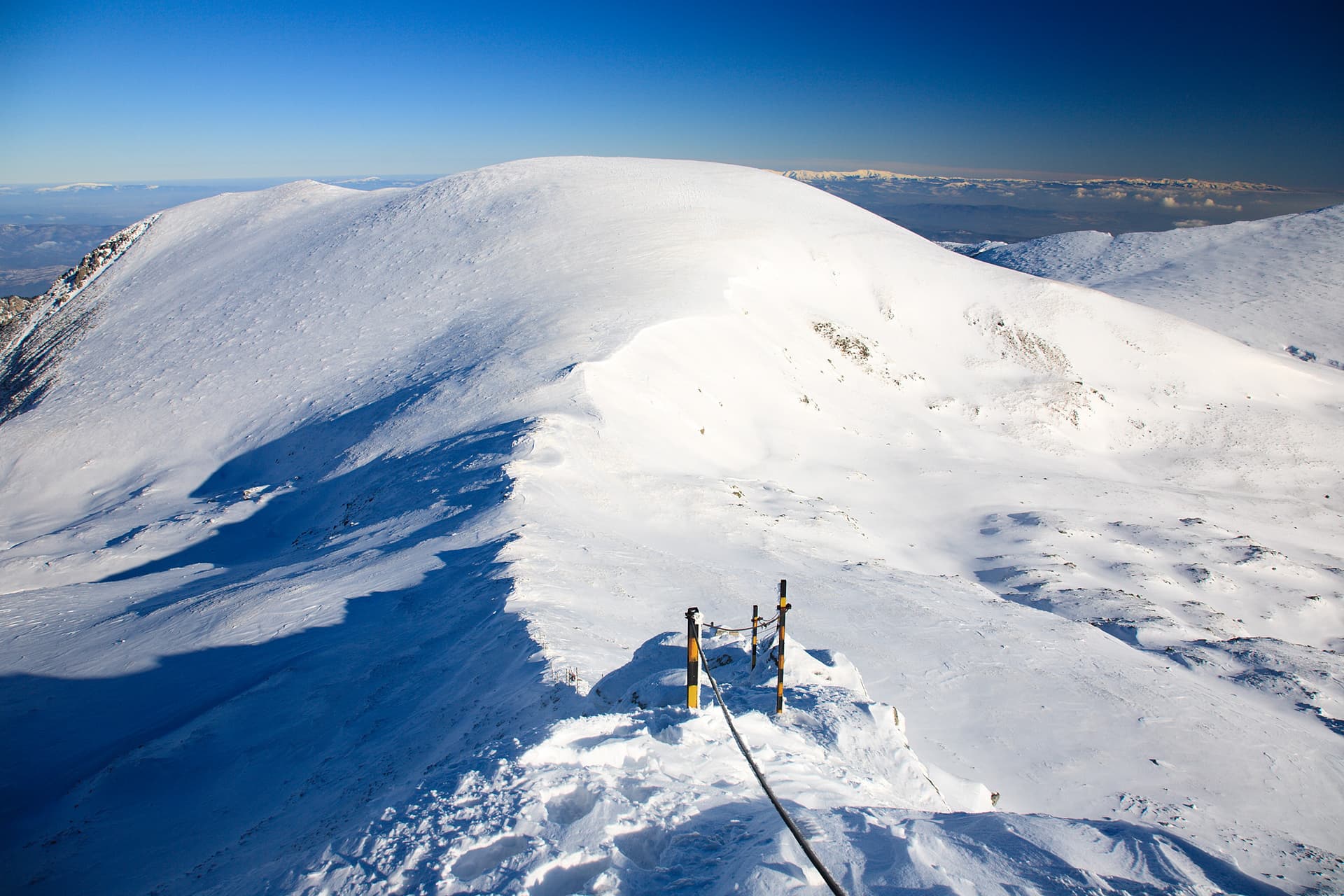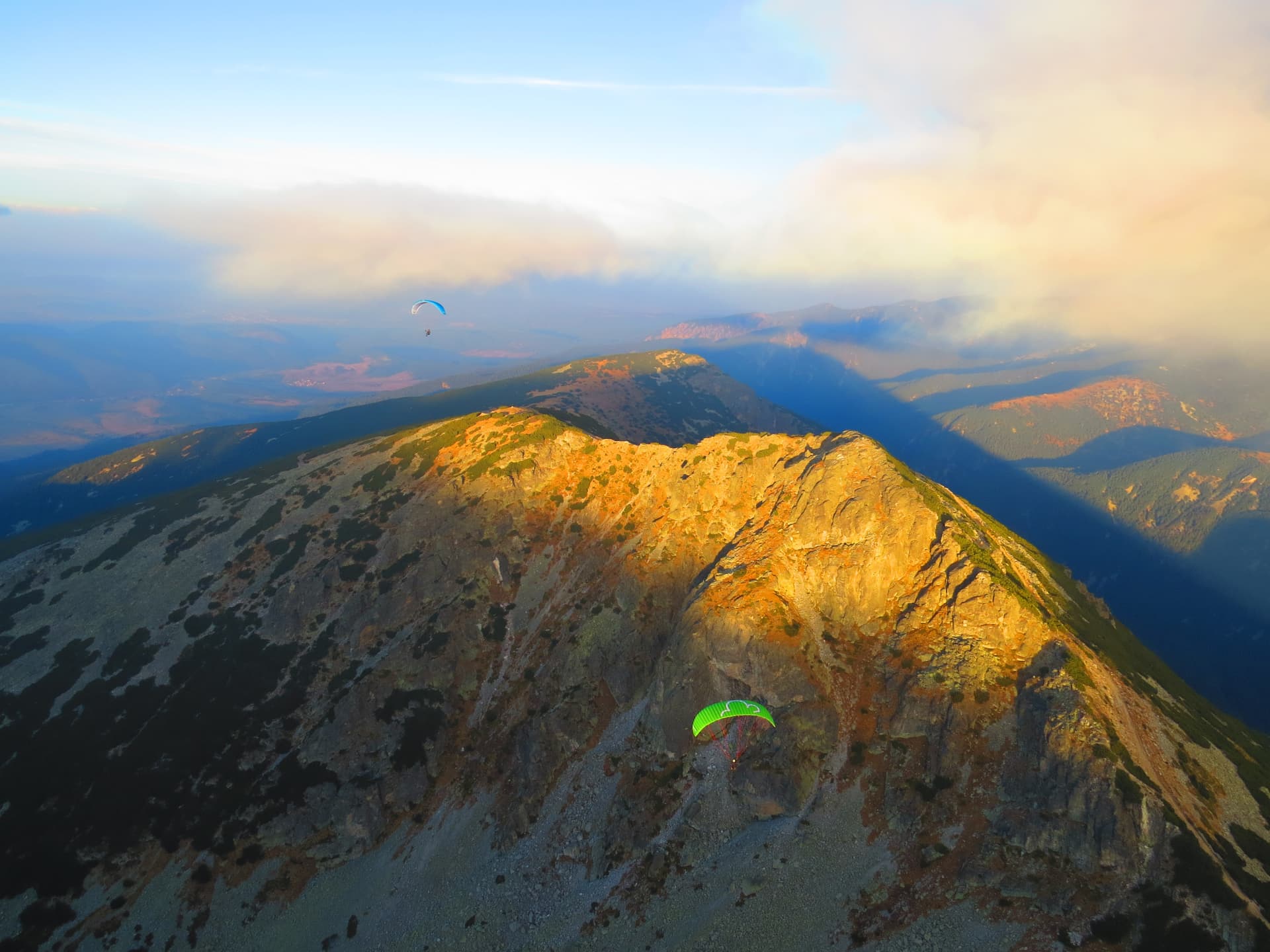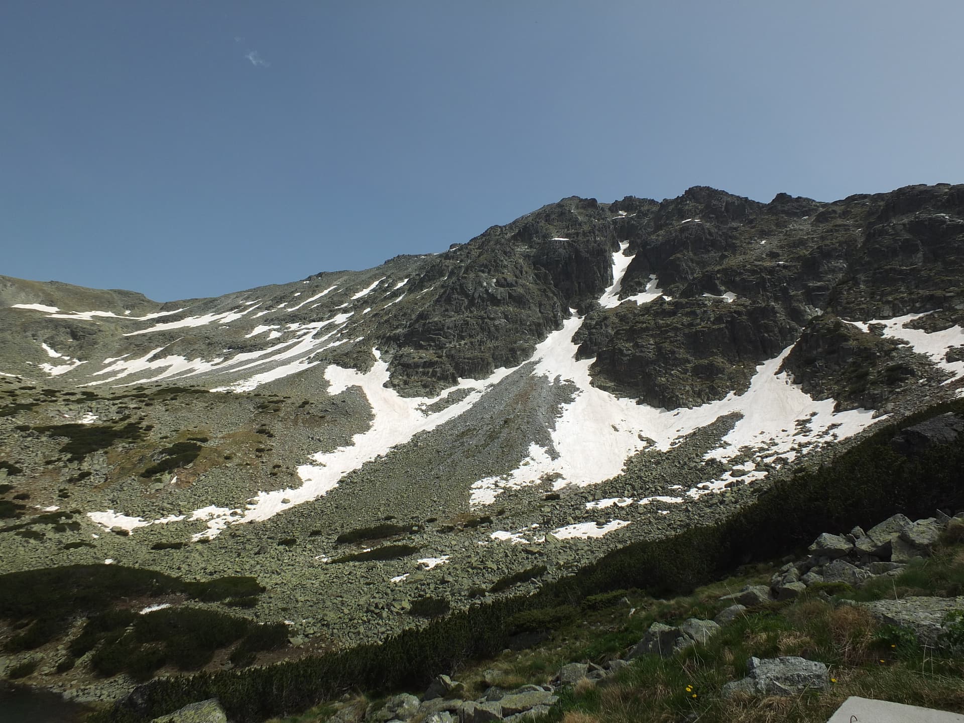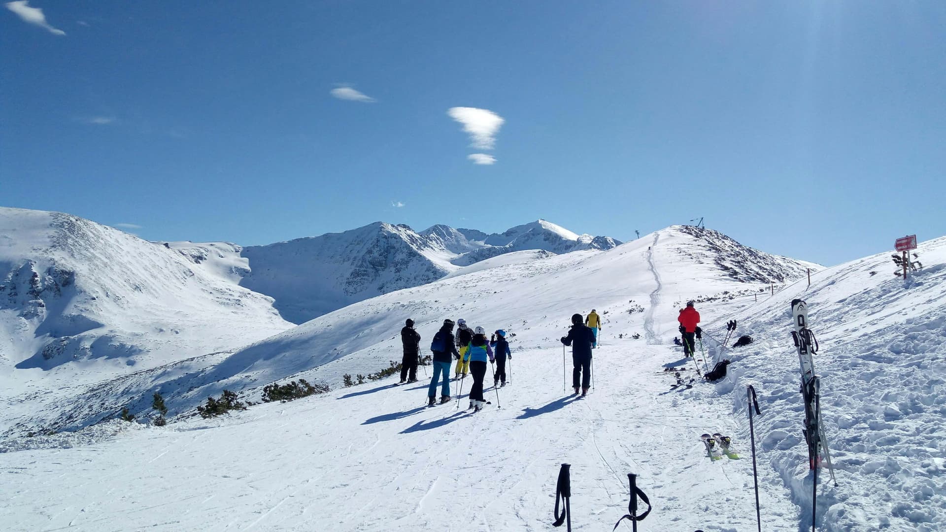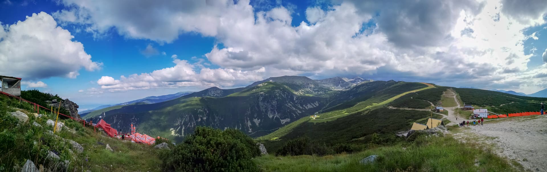
Yastrebets Peak is a panoramic mountain peak located in the Eastern Rila Mountains, soaring to an altitude of 2,369 meters above sea level. Situated within the territory of the town of Samokov, it occupies a strategic position in the range — lying just 4.7 kilometers south of the historic Borovets mountain resort and 5.3 kilometers northwest of Musala Peak, the highest summit in the Balkans. Due to this prime location, the peak is an exceptionally popular and highly accessible destination for skiers during the winter and hikers during the warmer months.
The area surrounding the summit is remarkably well-developed, serving as a key mountain tourism hub. Located right next to the highest point is the cozy Yastrebets Chalet, offering food and shelter to visitors. A major advantage for travelers is the upper station of the Borovets gondola lift, situated directly on the peak, which provides a fast and effortless connection from the resort below. Yastrebets also serves as the gateway to one of the most famous and relatively flat hiking trails leading toward Musala Hut and the main summit, making it the perfect starting base for high-altitude alpine adventures.

Sofia region
1.3 km away
Sofia region
1.7 km away
Sofia region
3.0 km away

Sofia region
3.4 km away
Yastrebets is located in Sofia Province, Bulgaria.
Yastrebets is most easily reached by car. Use the coordinates above to navigate, or open the location in OpenStreetMap or your preferred maps app for turn-by-turn directions. Public transport options vary by region — for remote destinations a rental car gives the most flexibility.
Late spring through early autumn (May–September) is best for Yastrebets, when trails are clear of snow and weather is most stable. Higher peaks may hold snow into June and see fresh snow as early as October. Winter visits are for experienced mountaineers with proper gear.
Yastrebets reaches an elevation of 2,369 metres above sea level.
Hiking boots, layered clothing, water (1.5–2 L per person), sun protection, and a windproof jacket — mountain weather changes quickly. For longer routes also bring a map (paper or offline), a head torch, and emergency rations. Tell someone your planned route and expected return time.