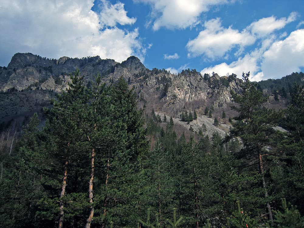
The Beli Iskar eco-trail is one of the best-built and best-maintained trails of its kind in the Rila foothills. It winds through the gorge of the Beli Iskar River above Samokov, on the edge of Rila National Park, crossing the water again and again on wooden footbridges, with benches and picnic spots along the way. If you're around Samokov, Govedartsi or the village of Beli Iskar and want an easy walk among forest and running water, this is probably the nicest option nearby.
Spring and summer are the best time, especially in a heatwave: the route stays almost entirely in the shade of the gorge, and the river adds its own cool. In late autumn you'll likely have the place to yourself, which has a quiet charm of its own — but the days are short and the bridges can be wet and slippery.
The trail starts 3.9 km past the village of Beli Iskar, roughly 11 km south of Samokov.
Drive through the whole village of Beli Iskar on the main road, keeping right at every fork. The asphalt beyond the village is narrow and badly broken in places, but a normal car will manage it if you take it slowly. Shortly before the trailhead you'll pass a small chapel on the left of the road — a reliable sign you're going the right way. Just after it there's a large car park on the right, and on the left the signboards and the first bridge, where the route begins. Parking is free and rarely a problem, except on sunny summer weekends.
The trail is about 7 km long, clearly waymarked in blue, and takes 2–3 hours to walk without stops. Elevation gain is minimal — this is a stroll, not a climb.
The whole route stays inside the Beli Iskar gorge, switching from the left bank to the right and back, and occasionally joining the road that runs parallel to the river. That's the real convenience here: even if you lose the blue markings, the road below always tells you where you are. The bridges are numbered and work as landmarks along the way.
The trail is designed as a loop, but in practice it first heads upstream to a shelter, then turns and works its way back down along the current.
Don't miss: on the way back, just after bridge no. 8, a short side path climbs from the left of the road to a viewing platform. It looks out over the river and the road below and across to the high hills opposite, with their dramatic scree slopes — the best view on the whole route, and the one most people walk straight past.
The Beli Iskar River rises below Kanarata Peak in Central Rila and is considered the source of the Iskar, the longest river flowing entirely within Bulgaria.
Yes. The route is flat, shaded and full of places to sit, and the bridges and the river keep small children interested. A pushchair won't get through everywhere, though — the path narrows and crosses tree roots in places. The river is shallow but fast, so hold little ones' hands around the bridges.

Sofia region
2.5 km away
Sofia region
3.4 km away
Sofia region
4.7 km away
Sofia region
5.6 km away
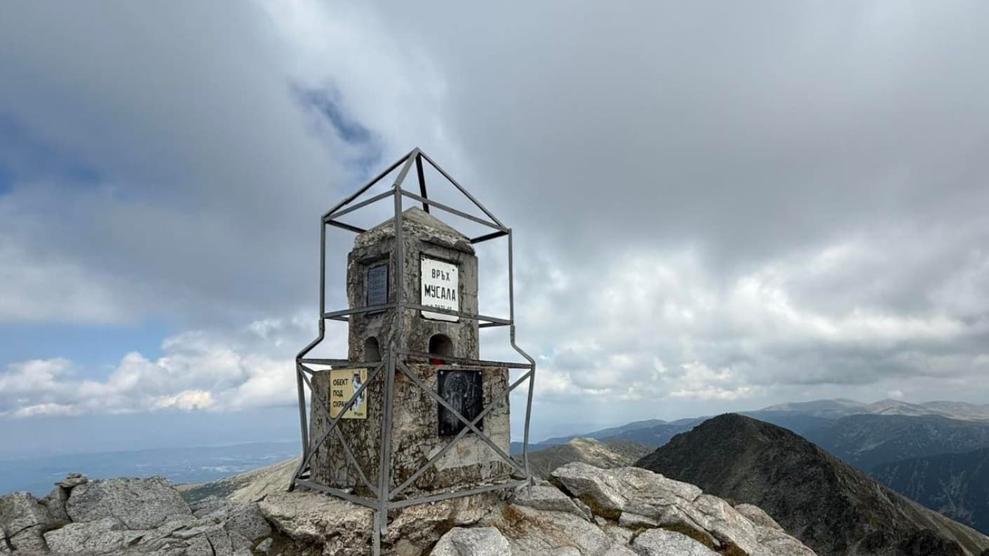
How to climb Musala (2,925 m), the highest peak in Bulgaria and the Balkans: the Borovets gondola, the route, huts, distances, season and what to pack.
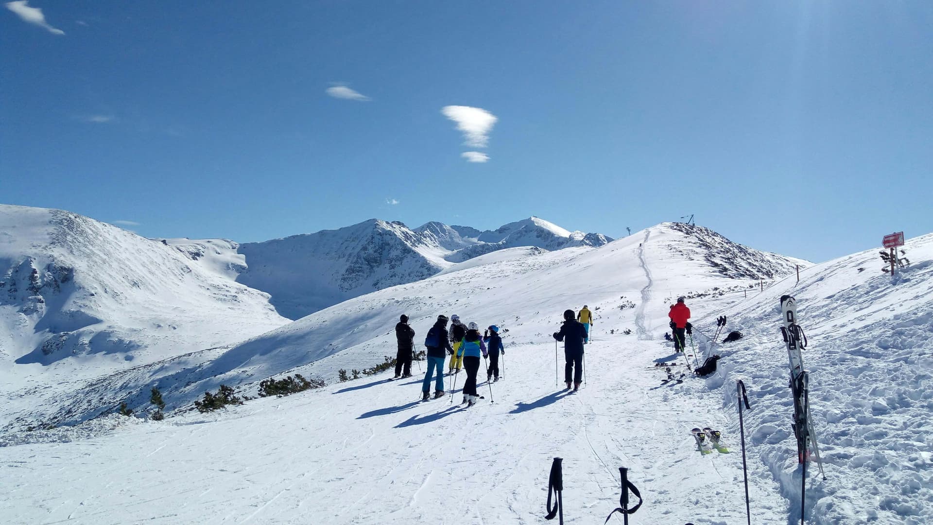
A complete guide to Borovets: ski sectors Sitnyakovo and Yastrebets, gondola tips, night skiing, lift passes, hiking Peak Musala, and accommodation.
Beli Iskar Nature Trail is located in Sofia Province, Bulgaria.
Beli Iskar Nature Trail is most easily reached by car. Use the coordinates above to navigate, or open the location in OpenStreetMap or your preferred maps app for turn-by-turn directions. Public transport options vary by region — for remote destinations a rental car gives the most flexibility.
Beli Iskar Nature Trail is best walked from May through October, when the trail is clear of snow and weather is generally stable. Summer middays can be hot at lower altitudes — start early. Winter walking requires proper gear and route knowledge.
Suitability depends on the specific route. Bulgarian trails range from paved family-friendly paths to multi-day high-mountain crossings. Check the length, elevation gain, and surface before setting off. Sturdy footwear, water, and a basic map (offline or paper) are essential even on short walks.