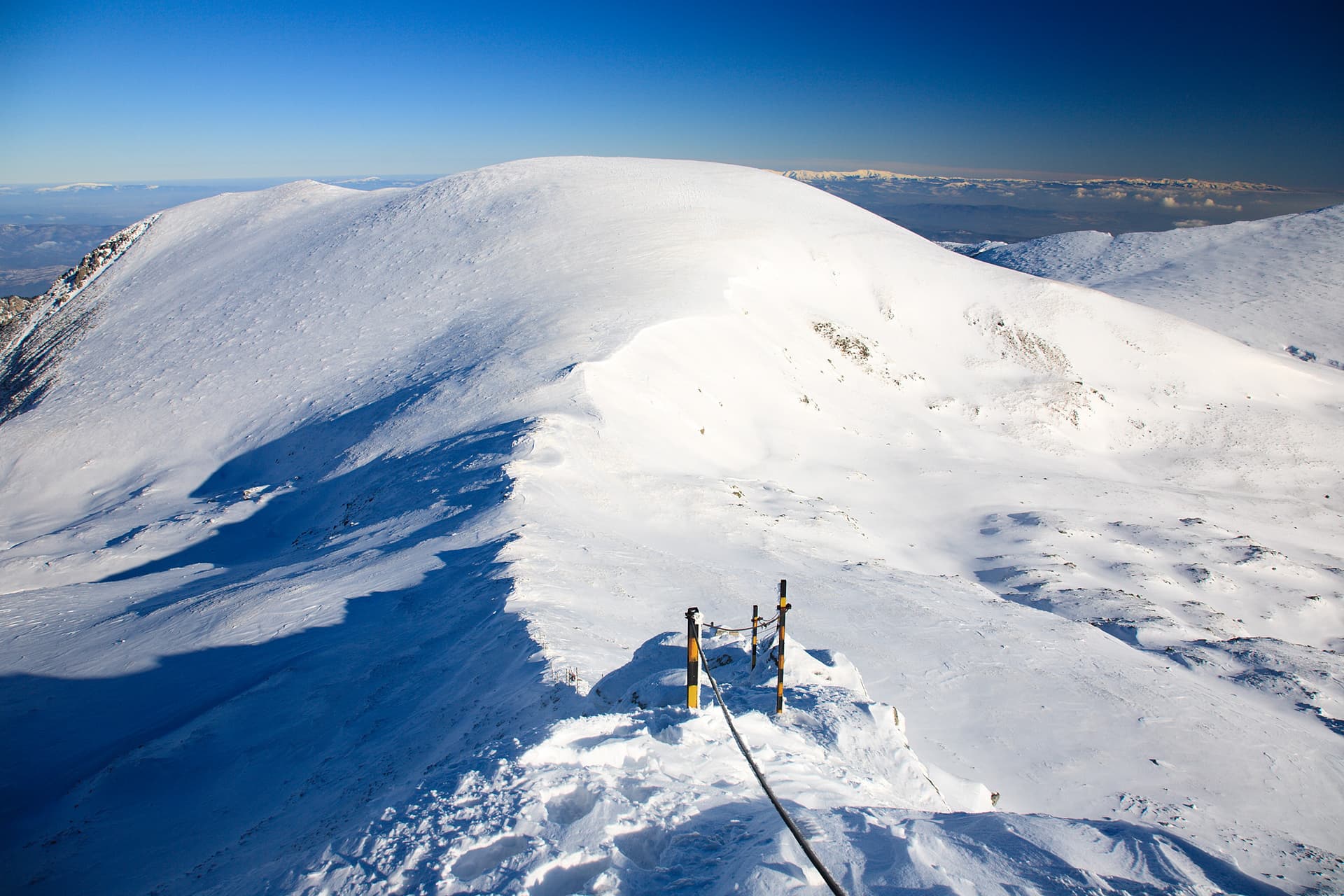
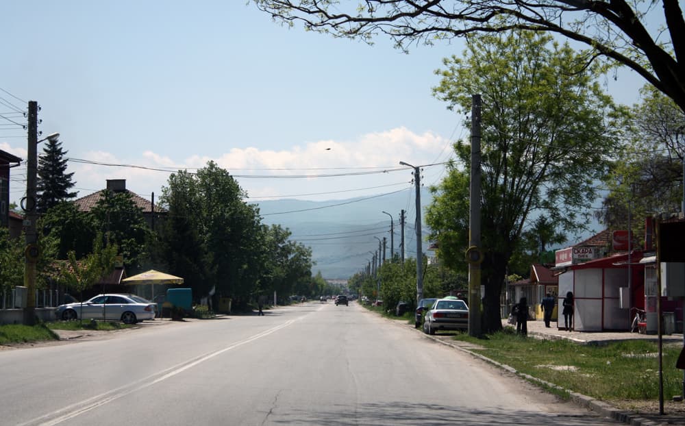
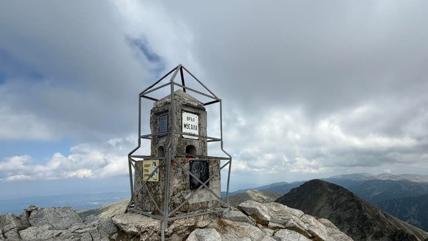
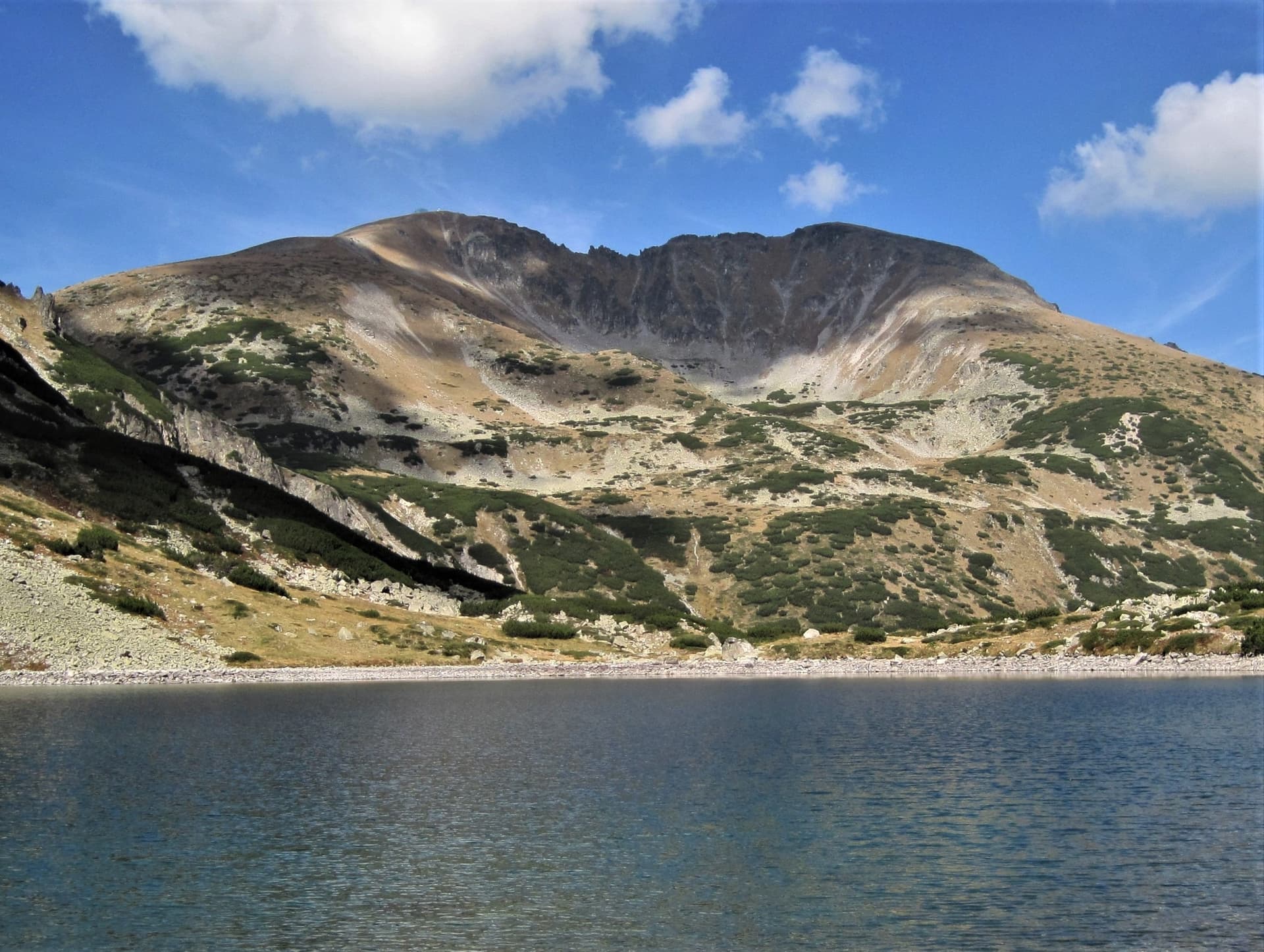
Mount Golyam Bliznak is the sixth highest peak in the Rila Mountains, rising to an impressive 2704 meters above sea level. Situated in the scenic Eastern part of the mountain range, it stands just south of Mount Malak Bliznak and north of Marishki Chal. Golyam Bliznak is a well-defined massif featuring two distinct twin peaks, with the northern one being the highest point. Its slopes are steep and predominantly rocky, with the western ridges descending toward the Iskar River catchment basin, while the eastern slopes overlook the beautiful Marichini Lakes cirque, the official source of the Maritsa River. Route Features and Important Information This hiking trail is characterized by medium to high difficulty. For a significant portion of the trek, there is no clearly defined path or tourist trail markings, meaning navigation relies entirely on terrain features. This makes reaching Golyam Bliznak a serious challenge that requires good mountain experience. It is highly recommended to attempt this hike during the summer season, choosing a long day with stable weather conditions. As an added bonus, the route passes right next to Malak Bliznak, allowing hikers to bag both peaks during a single trip. Key Trail Parameters: Starting Point: Maritsa Mountain Hut (accessible from Borovets via a 4-hour hike or by 4x4 vehicles along a dirt road). - Total Distance: 8.1 km. - Elevation Gain: 969 meters. - Duration: Approximately 4 hours one way. - Warning: This is strictly a summer route! - Detailed Step-by-Step Hiking Trail Description Stage 1: From Maritsa Hut to the Scrub Pine Zone From Maritsa Hut, head south along the dirt road. In less than 10 minutes, you will pass a large building on your left, and shortly after, you will cross the Maritsa River. The road takes a sharp left turn to the east, but a minute later, it turns sharply southwest. Soon you will reach the first key junction where the road bends sharply to the left. Right here, directly ahead, a grassy path branches off. Take this path, continuing southwest, and cross the Maritsa River again after about 10 minutes. Following the trail, make a brief turn to the north before heading southwest once more along a narrow path. Stage 2: Trekking Through the Scrub Pine and Musala Foothills The trail quickly enters the dense dwarf scrub pine zone, climbing with a gentle to steep incline along the right bank of the river. This section is fully passable and marked, as it is also an alternative route to Mount Musala (the highest peak in the Balkans). After about 1.5 hours of hiking, you will emerge into an open and relatively flat area at the eastern foothills of Malak Bliznak. The slopes of Musala and Malka Musala will be visible to your right. Continue climbing through the pine shrubs, and in about 15 minutes, you will reach the next key junction, which is the trickiest part for navigation. Stage 3: Crossing the Preslapa Saddle to the Ridge Right after exiting the pine shrub zone onto the open meadow, the marked trail continues its upward climb, but you must leave it and head west into an unmarked area. Walk across the grassy and rocky terrain with almost no incline, aiming straight for the Preslapa Saddle, which separates the massifs of Musala and Malak Bliznak. The slope soon steepens significantly as you begin a tough climb up the grassy ridge. Roughly 3 hours after leaving Maritsa Hut, you will reach the Preslapa Saddle, where you will merge into the main marked summer trail connecting Granchar Hut and Mount Musala. Stage 4: Final Ascent to Malak and Golyam Bliznak At the saddle, turn left (heading south) along the northern slopes of Mount Malak Bliznak. From here on, both summer trail markings and winter marker poles will guide your way. After about 20 minutes of hiking up the grassy-rocky slope, you will pass an unnamed high point, followed by a flat ridge leading close to the summit of Malak Bliznak. You can easily summit Malak Bliznak by taking a quick detour to the right. To reach your final destination, bypass Malak Bliznak from the east and begin descending southward. In about 10 minutes, you will reach a grassy saddle, from which the final climb up Mount Golyam Bliznak begins. Follow the faint trail for about 15 minutes until you are just east of the summit. Leave the path here and head straight for the highest point. The final stretch requires scrambling over a rocky section, which can be slippery and dangerous during wet weather. At the very top, a winter marking pole stands among the rocks, signaling the successful completion of your journey.

Sofia Province
0.6 km away
Sofia Province
0.9 km away
Sofia Province
2.0 km away
Sofia Province
2.1 km away
Golyam Bliznak is located in Sofia Province, Bulgaria.
Golyam Bliznak is most easily reached by car. Use the coordinates above to navigate, or open the location in OpenStreetMap or your preferred maps app for turn-by-turn directions. Public transport options vary by region — for remote destinations a rental car gives the most flexibility.
Late spring through early autumn (May–September) is best for Golyam Bliznak, when trails are clear of snow and weather is most stable. Higher peaks may hold snow into June and see fresh snow as early as October. Winter visits are for experienced mountaineers with proper gear.
Golyam Bliznak reaches an elevation of 2,779 metres above sea level.
Hiking boots, layered clothing, water (1.5–2 L per person), sun protection, and a windproof jacket — mountain weather changes quickly. For longer routes also bring a map (paper or offline), a head torch, and emergency rations. Tell someone your planned route and expected return time.