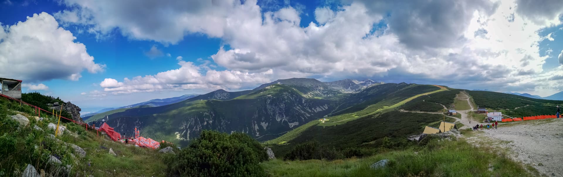
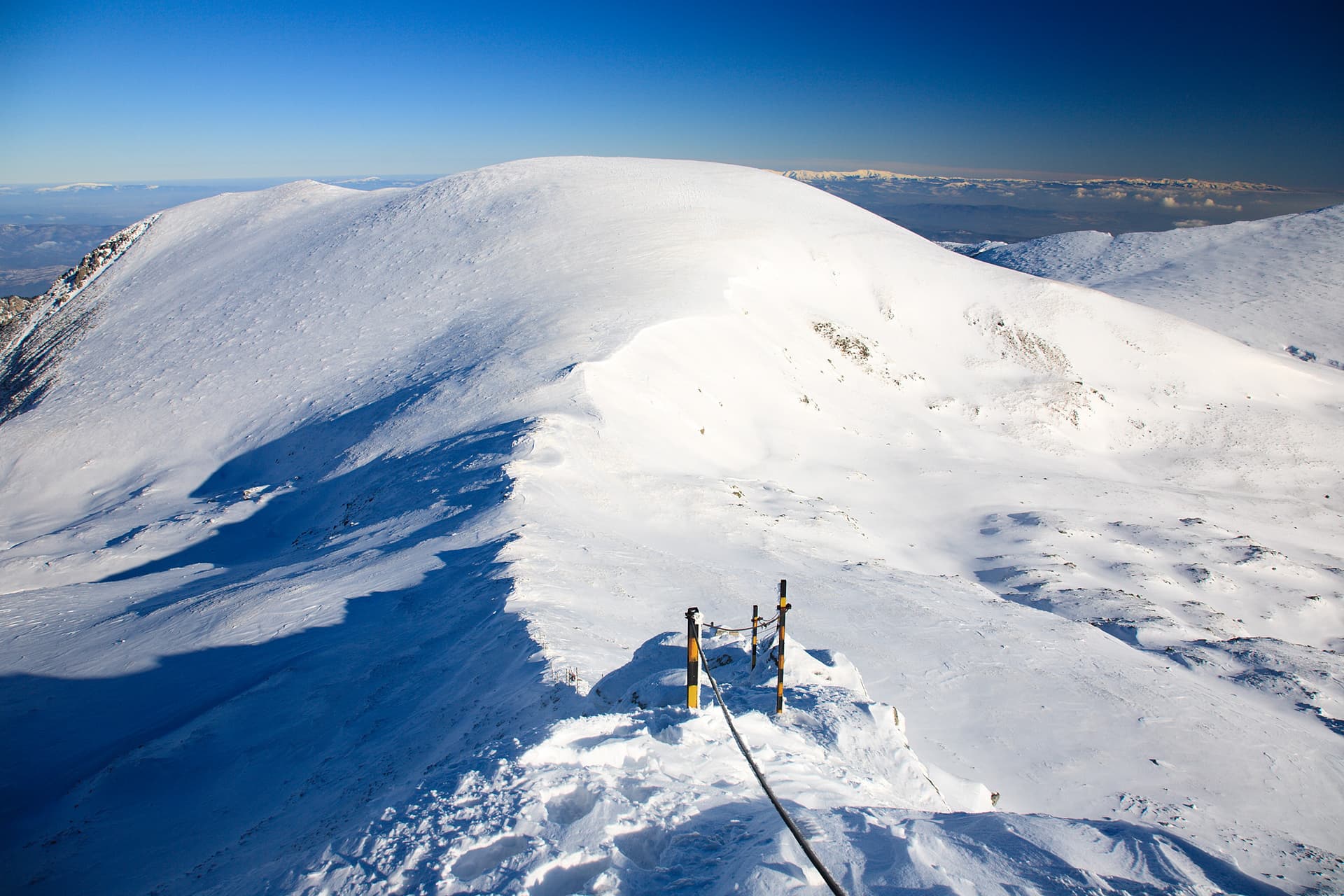
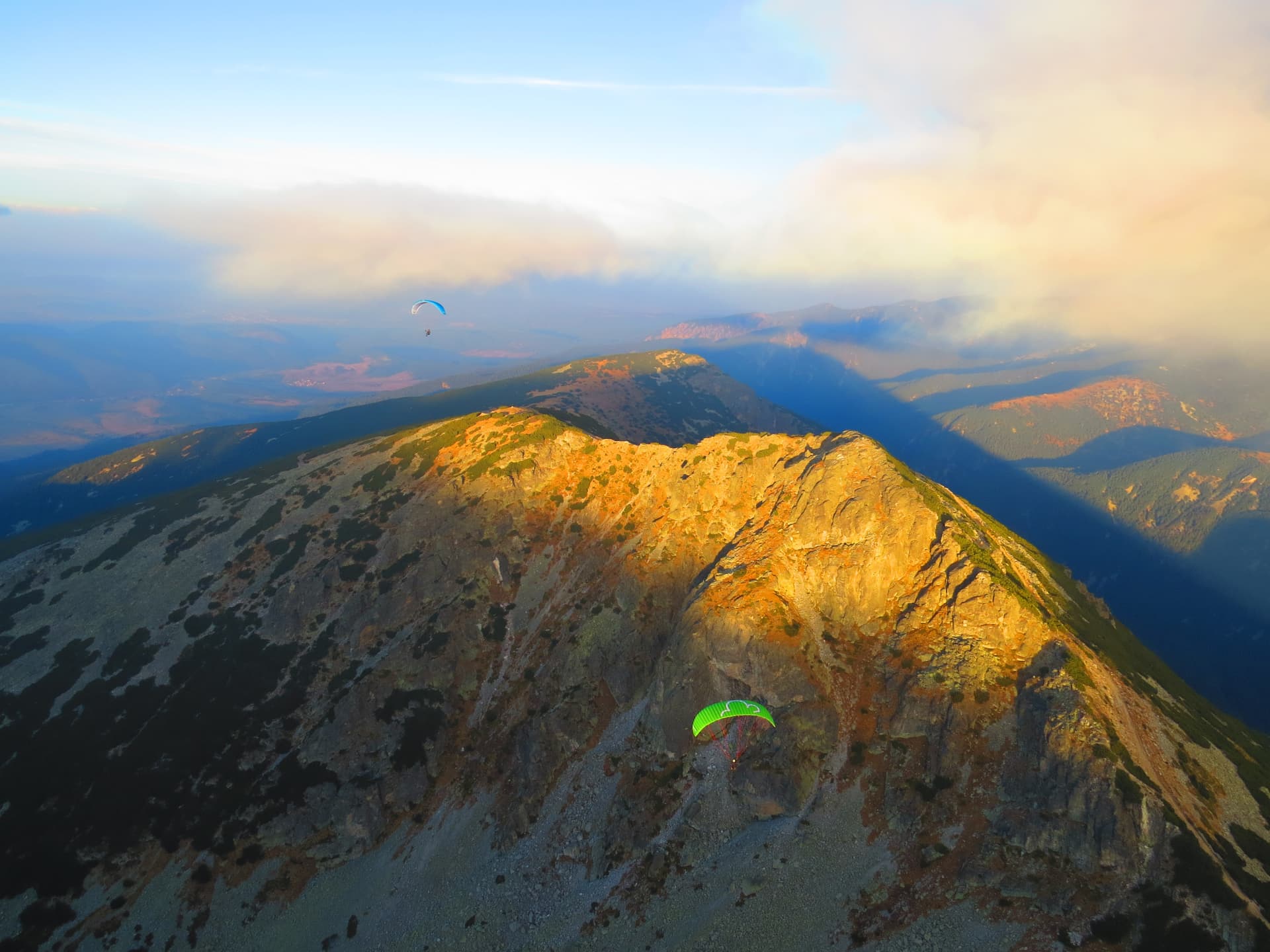
Marishki Chal (2,765 m), also called Marishki Vrah, is a peak in eastern Rila and an important orographic and hydrographic knot: it joins the Musala and Ibar ridges. The Marishki part of the mountain is named after it.
The peak is on the main watershed of the Balkan Peninsula, south of Golyam Bliznak and north of Ovcharets; to the north-east is Mancho on the Ibar ridge. Here the waters of the Iskar, Maritsa and Mesta divide between the Black and Aegean seas. After the Congress of Berlin the borders of the Principality of Bulgaria, Eastern Rumelia and the Ottoman Empire met on it, which is why it was also called the Three-Border Peak. The summit is dome-shaped and grassy-stony; only the northern slope towards the Marichini cirque is rocky. The eastern slope descends to the Ropalishki lakes and the western one to the deep Beli Iskar valley.
The summer and winter paths between Musala and Zavrachitsa hut cross the peak: the summer one traverses the south-western slope almost horizontally, and the winter one goes over the highest point. The summer path from Musala to Granchar hut crosses the western slope, and its winter variant goes almost over the summit. Golyam Bliznak is about 40 minutes away, Ovcharets and Mancho about 30. In winter the slopes are prone to avalanches and following the pole waymarks is essential.
The paths come from Musala (from Borovets) and from Granchar hut (from the Yakoruda side) and Zavrachitsa hut.

Sofia region
0.9 km away
Blagoevgrad region
1.2 km away
Sofia region
1.5 km away
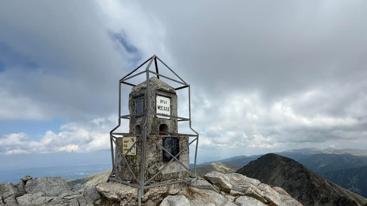
Sofia region
2.8 km away
Marishki Chal is located in Sofia Province, Bulgaria.
Marishki Chal is most easily reached by car. Use the coordinates above to navigate, or open the location in OpenStreetMap or your preferred maps app for turn-by-turn directions. Public transport options vary by region — for remote destinations a rental car gives the most flexibility.
Late spring through early autumn (May–September) is best for Marishki Chal, when trails are clear of snow and weather is most stable. Higher peaks may hold snow into June and see fresh snow as early as October. Winter visits are for experienced mountaineers with proper gear.
Marishki Chal reaches an elevation of 2,765 metres above sea level.
Hiking boots, layered clothing, water (1.5–2 L per person), sun protection, and a windproof jacket — mountain weather changes quickly. For longer routes also bring a map (paper or offline), a head torch, and emergency rations. Tell someone your planned route and expected return time.