MestalaMestala
HomePlacesMapTripBlogAboutFAQ
EN|БГ

Discover Bulgaria with Mestala.

AboutFAQLicensePrivacy
Mechit
MountainsSofia Province

Mechit

HomePlacesMountainsMechit
Elevation: 2,572 mCoordinates: 42.19535, 23.46343View on OpenStreetMap

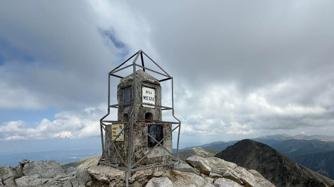
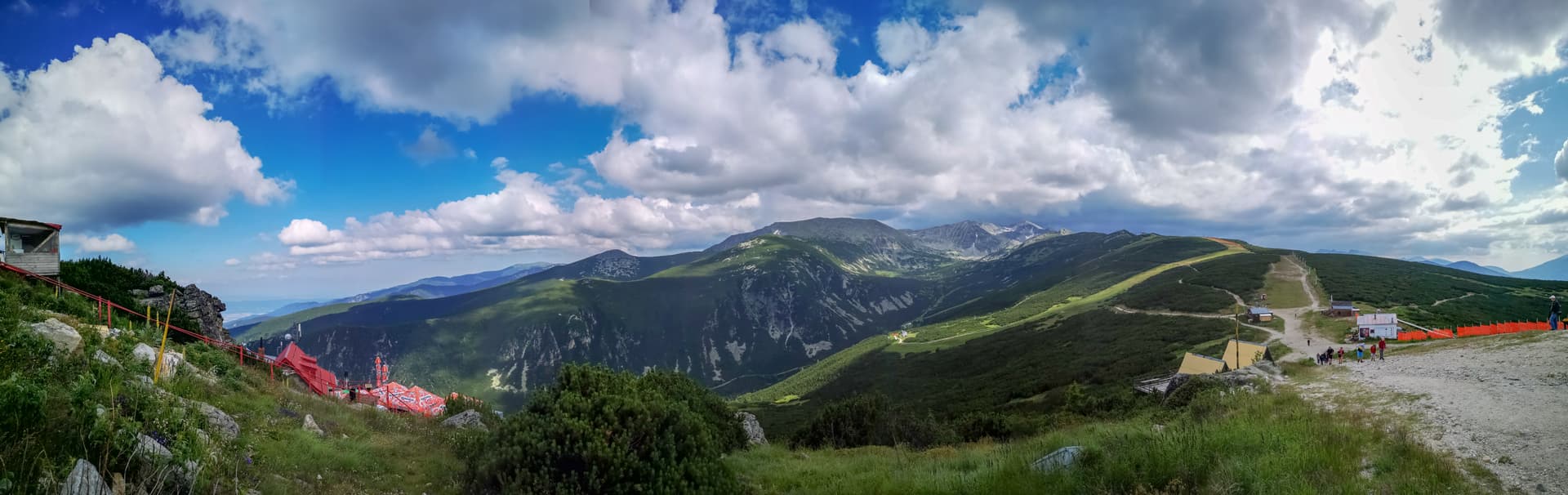
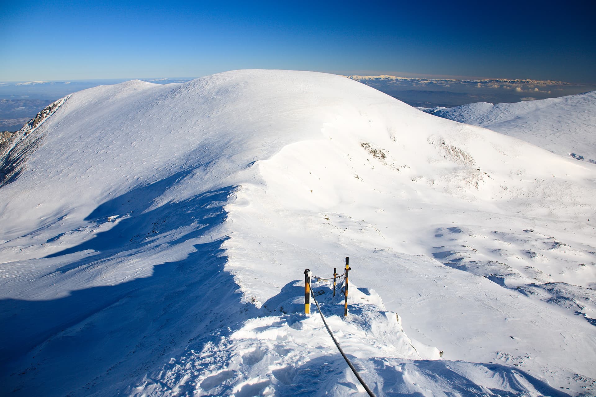
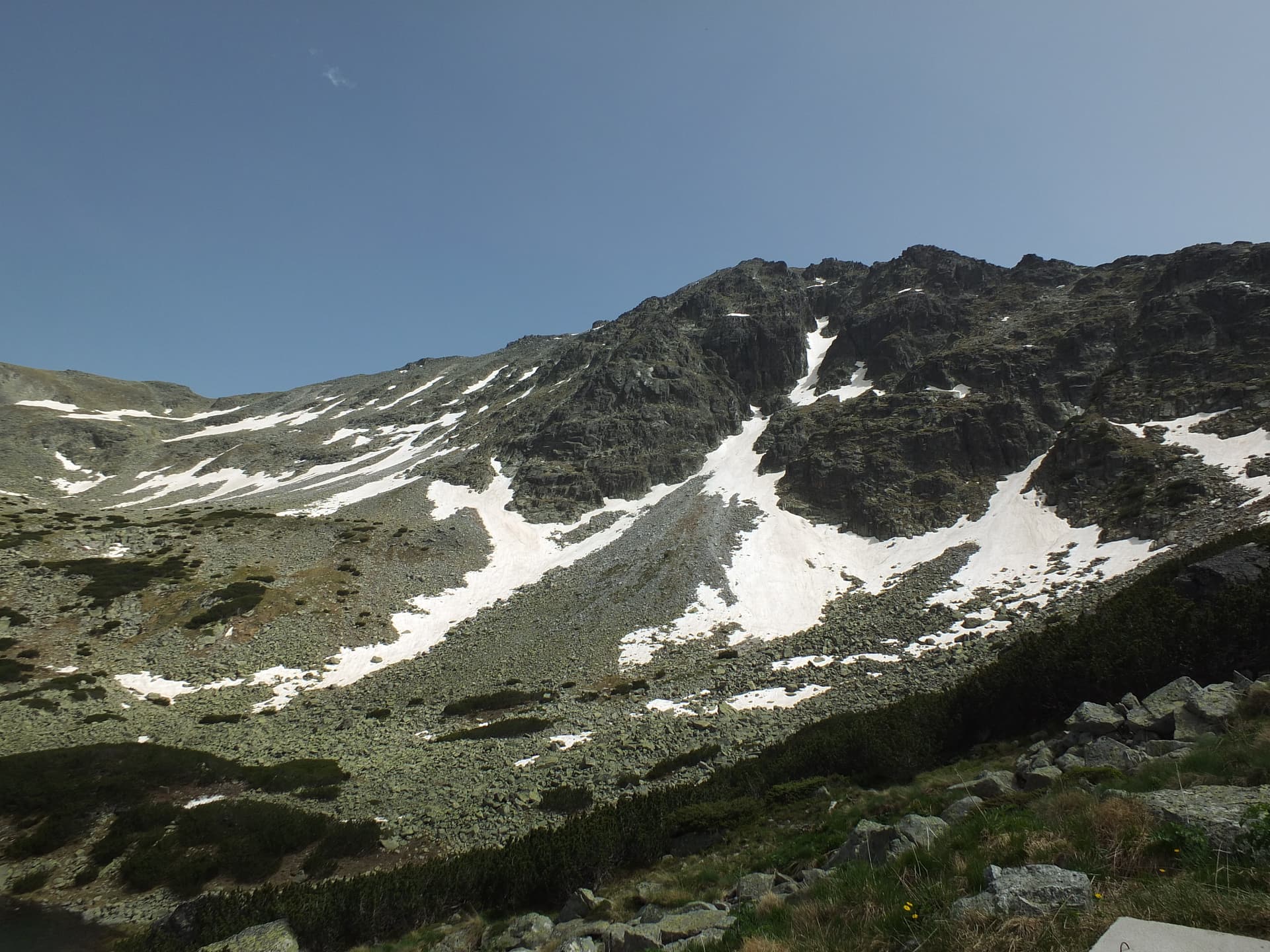
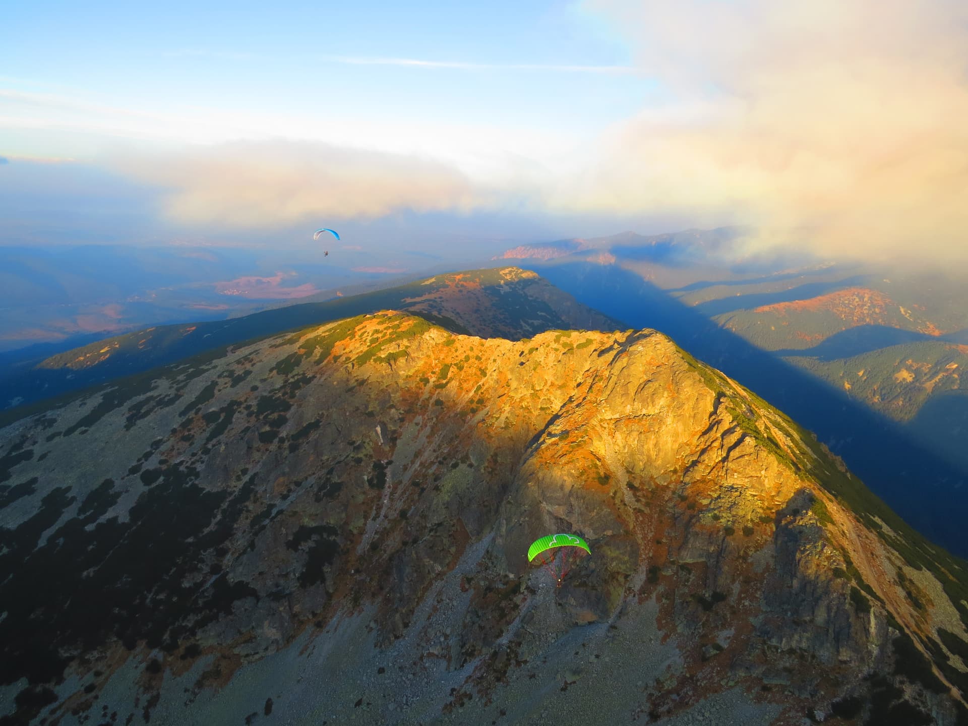
For lovers of high mountains, Mount Mechit (2568 m) in the Eastern Rila range is one of those destinations promising unforgettable experiences and breathtaking panoramas. Located within the Musala Ridge, close to the highest peak in the Balkans, Musala, Mechit offers a slightly more secluded, yet no less rewarding, mountaineering challenge. Its elevated position makes it a perfect vantage point over the majestic peaks of the Rila Mountains and the expansive valleys of the Sofia region. The ascent to Mechit is primarily of moderate difficulty but requires good physical fitness and appropriate equipment. Popular starting points include Borovets, from where you can reach Musala Hut and then continue along a marked trail towards the peak. Other options are the Maritsa or Zavrachitsa huts, which offer longer but exceptionally scenic routes through lush alpine meadows and ancient coniferous forests. During your trek, you'll have the opportunity to enjoy Rila's rich flora and fauna, including characteristic mountain species. Once you conquer the peak, you'll be rewarded with a spectacular 360-degree view: to the west, the jagged peaks of the Malyovitsa part of Rila stretch out; to the north, the outlines of Sredna Gora and Vitosha; and to the east and south, the endless folds of Eastern Rila, including Musala and the beautiful Marichini Lakes, nestled in deep cirques. Mechit is an ideal choice for those seeking the tranquility of the mountains, away from the busier trails, offering an authentic touch of Rila's wild beauty. It is best visited during the summer months when the weather is more stable and the trails are accessible.

Nearby Places

Malak Mechit
Mountains

Malak Mechit

Sofia Province

0.2 km away

Lopushki
Mountains

Lopushki

Sofia Province

2.7 km away

Voden Chal
Mountains

Voden Chal

Sofia Province

4.9 km away

Yonchevo ezero - z. Strashno ezero
Trails

Yonchevo ezero - z. Strashno ezero

Sofia Province

5.1 km away

More to explore

Musala
Mountains

Musala

Sofia Province

Ibar
Mountains

Ibar

Sofia Province

Ravni chal
Mountains

Ravni chal

Sofia Province

Glavinitsa
Mountains

Glavinitsa

Sofia Province

Frequently asked questions

Where is Mechit located?

Mechit is located in Sofia Province, Bulgaria.

How do I get to Mechit?

Mechit is most easily reached by car. Use the coordinates above to navigate, or open the location in OpenStreetMap or your preferred maps app for turn-by-turn directions. Public transport options vary by region — for remote destinations a rental car gives the most flexibility.

What is the best time to visit Mechit?

Late spring through early autumn (May–September) is best for Mechit, when trails are clear of snow and weather is most stable. Higher peaks may hold snow into June and see fresh snow as early as October. Winter visits are for experienced mountaineers with proper gear.

How high is Mechit?

Mechit reaches an elevation of 2,572 metres above sea level.

What should I bring when visiting Mechit?

Hiking boots, layered clothing, water (1.5–2 L per person), sun protection, and a windproof jacket — mountain weather changes quickly. For longer routes also bring a map (paper or offline), a head torch, and emergency rations. Tell someone your planned route and expected return time.