

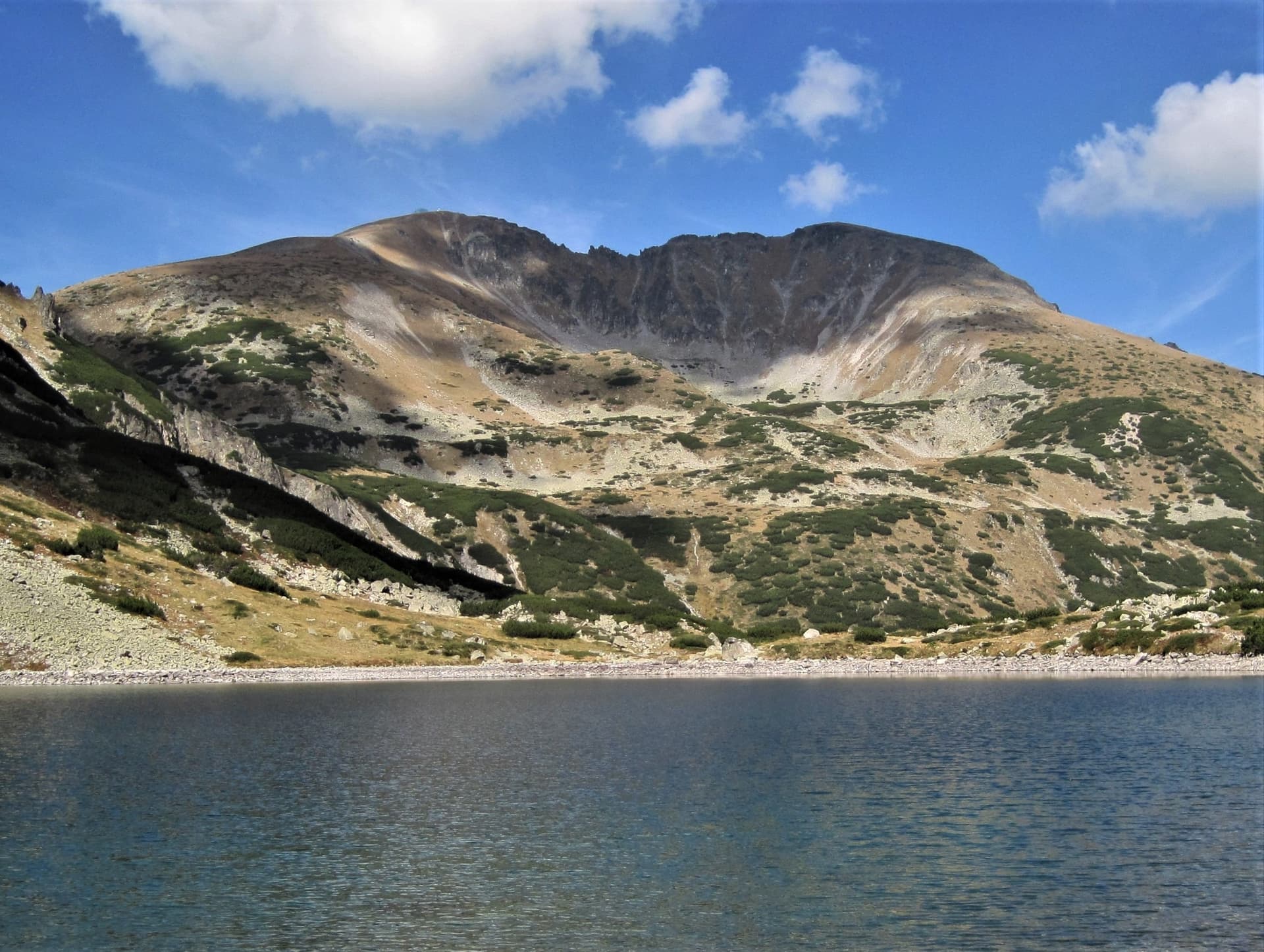
Malka Musala
Malka Musala is the second-highest peak in the Rila Mountains and the fourth-highest in Bulgaria, after Musala, Vihren and Kutelo — and seventh on the Balkan Peninsula. At 2902 metres it has a rounded, dome-like shape and one of the widest panoramas in the whole range. From 1950 to 1989 it was officially named Dimitrov; almost nobody calls it that today.
The peak sits in the Musala section of Eastern Rila, just a few hundred metres northeast of Musala itself. The two are joined by a rocky ridge everyone knows as Trionite ("The Saws") — the most striking and most talked-about part of the climb. North-northeast the ridge continues to Irechek and Deno peaks. Malka Musala belongs to the Musala horseshoe, together with Deno, Irechek, Musala, Bezimenen and Aleko.
To the northwest the slope drops steeply into the top step of the Musala cirque, where Ledenoto Lake (the Ice Lake) lies. To the south and east the slopes fall towards the deep valley of the Maritsa River, enclosing two small hanging cirques: one — below Musala, Trionite and Malka Musala — has no lake, while the second, below Malka Musala, Irechek and Studeniya Ridge, holds Tamnoto Lake (the Dark Lake) and is named the Tamnoezeren cirque after it. The lake feeds the Tamnoezerski stream, a left tributary of the Golyama Maritsa.
What you see from the top: Musala, Irechek, the Ice Lake, Malak and Golyam Bliznak, Mancho Peak, Marishki Chal and the Maritsa Lakes. On a clear day the view pays back every one of the five hours it took.
Routes to Malka Musala
From Borovets via Yastrebets hut — the most popular option
Take the gondola from the lift station in the southern part of Borovets up to Yastrebets hut (2369 m). From there follow the well-marked red trail south towards Musala, past Musala hut and the Karakashevo, Alekovo and Ledenoto lakes. After the Ice Lake comes the steep pull to Musala summit, and from there you continue east across Trionite. The ridge is roughly 500 metres long and takes 30–40 minutes at a slow pace — a path bypasses most of the rock on the side, but this is serious ground and not a place to rush. Malka Musala is immediately beyond it.
Just over 6 km and more than 760 m of ascent from the top lift station; about 5 hours one way.
From Granchar hut — the long southern approach
Granchar hut is about 20 km north of the town of Yakoruda. From the eastern edge of town the road crosses the railway line, runs east, then turns left to the north. The asphalt ends after just over 14 km at Nehtenitsa: a building with a sign on the left, a meadow on the right where most people leave their cars. From there you walk the same track east, then left and northwest to the hut — just over 5 km, around 1.5 hours.
From Granchar, head west on the blue markings that start at the northern shore of the lake, climb through conifer forest and reach the neighbouring ridge, where you'll find signposts and poles. Turn north onto the red markings, passing Ovcharets and Marishki Chal (traversed on the left, to the northwest), then below Golyam and Malak Bliznak, and along the ridge north to Musala. From Musala, Trionite runs east, and Malka Musala follows.
Around 9 km and 960 m of ascent; 4.5–6.5 hours one way depending on your pace.
From Maritsa hut — the shortest walk-in
The hut lies northeast of the peak and is reached by a mountain road from Borovets — about 15 km, roughly an hour in a suitable vehicle or around 3 hours on foot. From the hut, continue south along the road; a few hundred metres on there's a fork — keep straight ahead, southwest. A narrow but well-marked path then follows the Maritsa River to one of the Maritsa Lakes, at the foot of Mancho, Marishki Chal and the Bliznatsi peaks. That's the easy half. The climb starts here, west towards the ridge between Malak Bliznak and Musala, then north to Musala summit and east across Trionite to Malka Musala.
About 7.8 km and close to 1080 m of ascent; 3.5–5 hours one way.
When to go, and who it suits
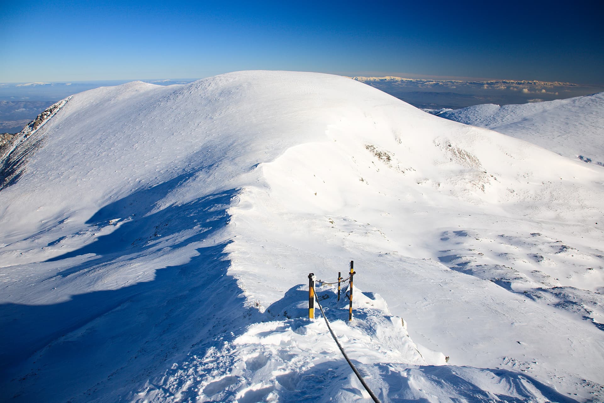
Summer and early autumn are best, when Trionite is free of snow and ice — with snow on the ridge this becomes a winter climb rather than a walk. Difficulty is moderate to hard because of that final 500-metre ridge: we wouldn't recommend it for beginners or for children. Start early, carry water and a windproof layer — at 2900 metres the weather turns in minutes.
Nearby
- Ledenoto (Ice) Lake — at the foot of the peak on its northwestern side, with the Ledenoto Ezero shelter a little further north, and Alekovo Lake beyond it.
- Irechek Peak (2852 m) — a few hundred metres north along an easy saddle path, about 30 minutes one way.
- Musala Peak (2925 m) — the highest point on the Balkan Peninsula, a few hundred metres west across Trionite: 30–60 minutes one way.
- Malak Bliznak Peak — to the southwest. Cross Trionite to Musala, then head south along the connecting saddle; about 1.5 hours one way.
7-day forecast
Weather data from MET NorwayNearby Places
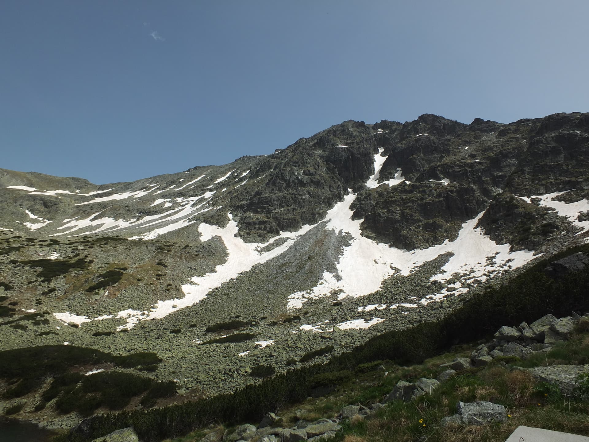
Irechek
Sofia region
0.4 km away
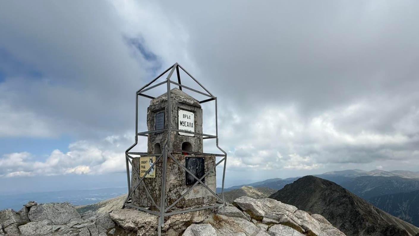
Musala
Sofia region
0.5 km away

Studeniya Chal
Sofia region
1.4 km away
Malak Bliznak
Sofia region
1.6 km away
More to explore
Read more in our travel guides
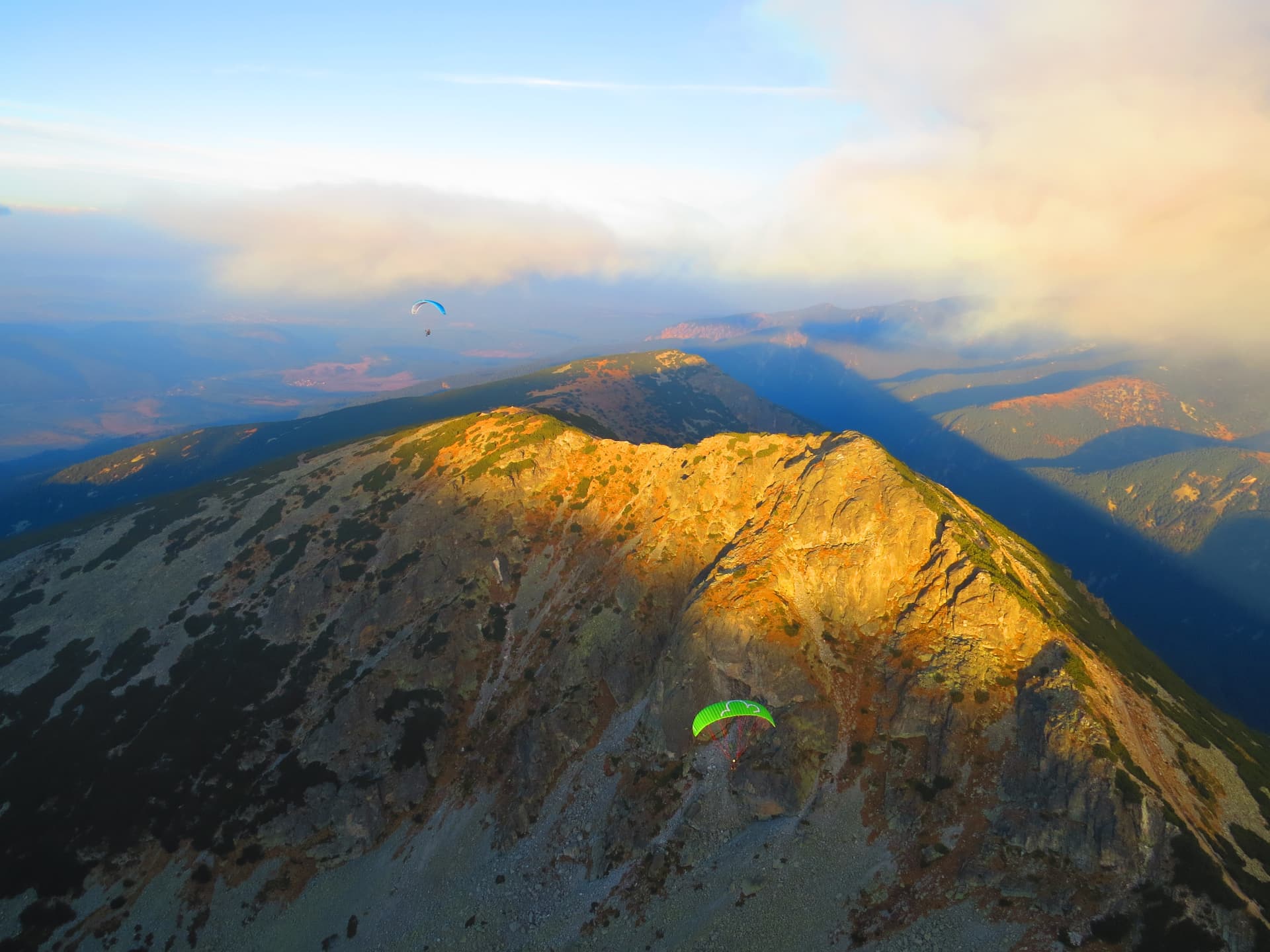
Musala Peak (2,925 m): How to Climb Bulgaria's Highest Mountain
How to climb Musala (2,925 m), the highest peak in Bulgaria and the Balkans: the Yastrebets gondola from Borovets and its hours (closed Mon–Tue), the route, huts and season.
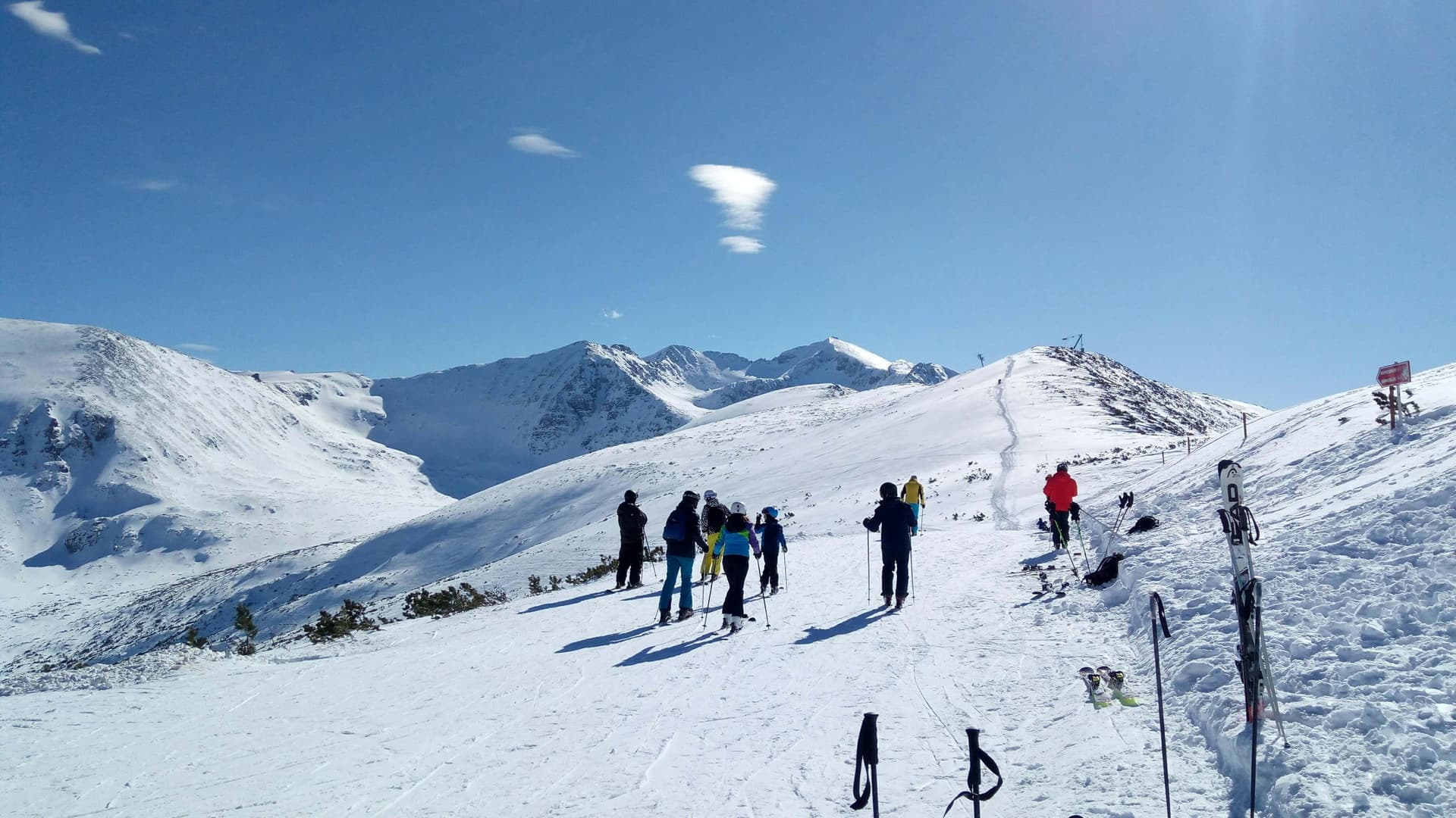
Borovets: Ski Slopes, Lifts & Hiking Musala
A complete guide to Borovets: ski sectors Sitnyakovo and Yastrebets, gondola tips, night skiing, lift passes, hiking Peak Musala, and accommodation.
Frequently asked questions
Where is Malka Musala located?
Malka Musala is located in Sofia Province, Bulgaria.
How do I get to Malka Musala?
Malka Musala is most easily reached by car. Use the coordinates above to navigate, or open the location in OpenStreetMap or your preferred maps app for turn-by-turn directions. Public transport options vary by region — for remote destinations a rental car gives the most flexibility.
What is the best time to visit Malka Musala?
Late spring through early autumn (May–September) is best for Malka Musala, when trails are clear of snow and weather is most stable. Higher peaks may hold snow into June and see fresh snow as early as October. Winter visits are for experienced mountaineers with proper gear.
How high is Malka Musala?
Malka Musala reaches an elevation of 2,902 metres above sea level.
What should I bring when visiting Malka Musala?
Hiking boots, layered clothing, water (1.5–2 L per person), sun protection, and a windproof jacket — mountain weather changes quickly. For longer routes also bring a map (paper or offline), a head torch, and emergency rations. Tell someone your planned route and expected return time.